Nature
Waters, ice and wild places of Namibia
Lakes, waterfalls, glaciers, national parks and mountain huts, each with its location, its size and the weather of the towns around it.
Lakes1with a page
Beaches3with a page
Islands23with a page
Caves4with a page

Lakes
Lakes of Namibia

Beaches
Beaches of Namibia


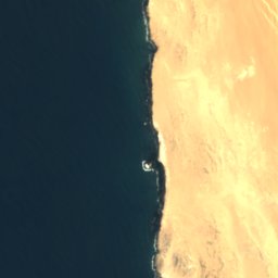
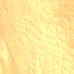


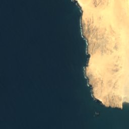
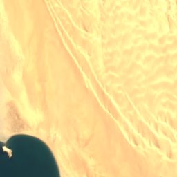


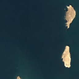
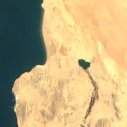
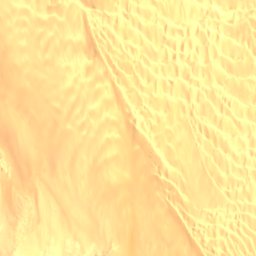
Satellite: Sentinel-2 cloudless 2016 by EOX IT Services GmbH · CC BY 4.0 · Contains modified Copernicus Sentinel data 2016
Agate Beach
Lüderitz, Karas Region
4 m

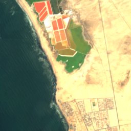

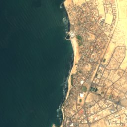
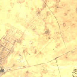

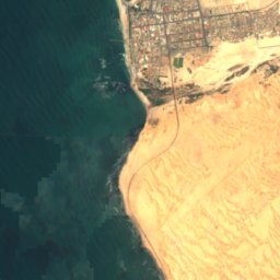
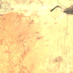
Satellite: Sentinel-2 cloudless 2016 by EOX IT Services GmbH · CC BY 4.0 · Contains modified Copernicus Sentinel data 2016
North Beach
Swakopmund, Erongo Region
Satellite: Sentinel-2 cloudless 2016 by EOX IT Services GmbH · CC BY 4.0 · Contains modified Copernicus Sentinel data 2016
South Beach
Swakopmund, Erongo Region
Islands
Islands of Namibia

Photo: Olga Ernst & Hp.Baumeler · CC BY-SA 4.0 · Wikimedia CommonsReport this photo · linked, not stored
Seal Island
Lüderitz, Karas Region
43 m


Photo: Uploaded on April 24, 2006 by SqueakyMarmot · CC BY 2.0 · Wikimedia CommonsReport this photo · linked, not stored
Penguin Island
Lüderitz, Karas Region
Satellite: Sentinel-2 cloudless 2016 by EOX IT Services GmbH · CC BY 4.0 · Contains modified Copernicus Sentinel data 2016
Flamingo Island
Lüderitz, Karas Region
7 m
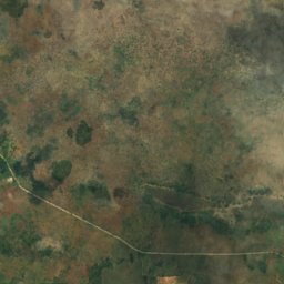
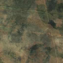
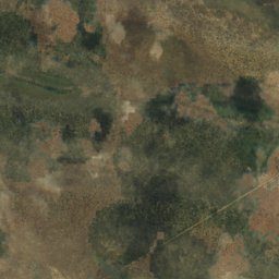
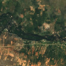
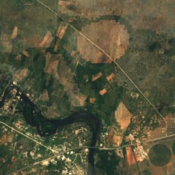
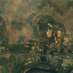
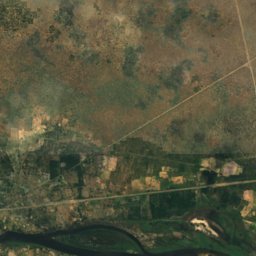
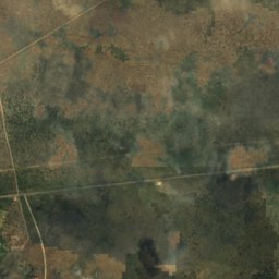
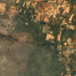
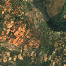
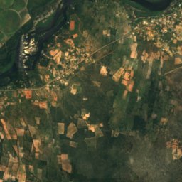
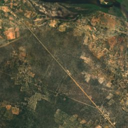
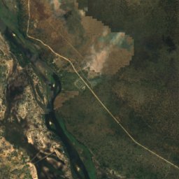
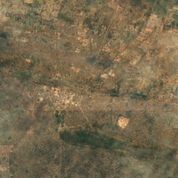
Satellite: Sentinel-2 cloudless 2016 by EOX IT Services GmbH · CC BY 4.0 · Contains modified Copernicus Sentinel data 2016
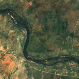
Bagani Island
Bagani, Zambezi Region
1,001 m
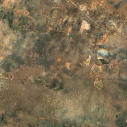
Satellite: Sentinel-2 cloudless 2016 by EOX IT Services GmbH · CC BY 4.0 · Contains modified Copernicus Sentinel data 2016
Catsho Island
Bagani, Zambezi Region
1,002 m



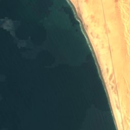
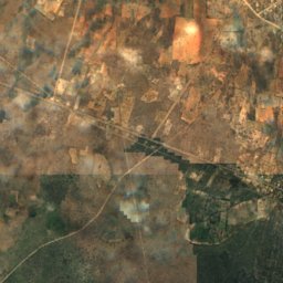
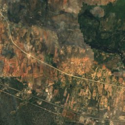
Satellite: Sentinel-2 cloudless 2016 by EOX IT Services GmbH · CC BY 4.0 · Contains modified Copernicus Sentinel data 2016
Caution Reef
Swakopmund, Erongo Region
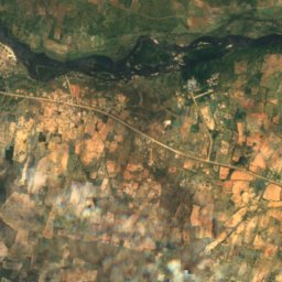
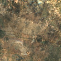
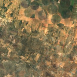
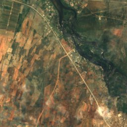
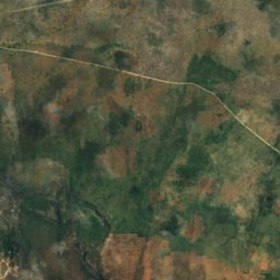
All 23 islands
Caves
Caves of Namibia

Photo: Hansueli Krapf This file was uploaded with Commonist. · CC BY-SA 3.0 · Wikimedia CommonsReport this photo · linked, not stored
Bushman Paradise Cave
Usakos, Erongo Region

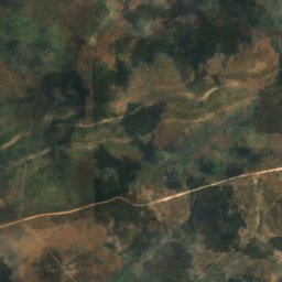
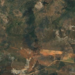
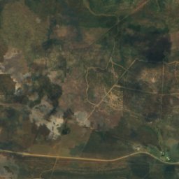
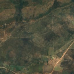
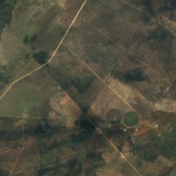
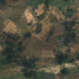
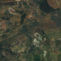
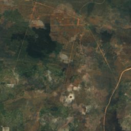
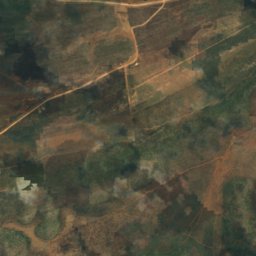
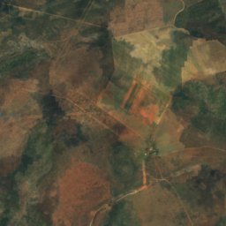
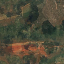
Satellite: Sentinel-2 cloudless 2016 by EOX IT Services GmbH · CC BY 4.0 · Contains modified Copernicus Sentinel data 2016
Drachenhauchloch
Tsumeb, Oshikoto Region
1,540 m
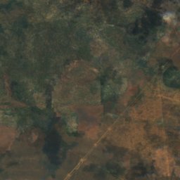
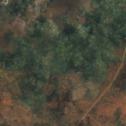
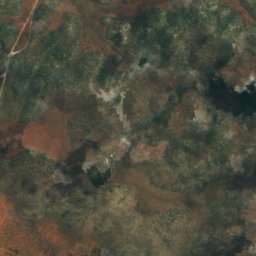
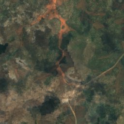
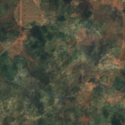
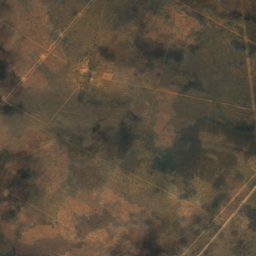
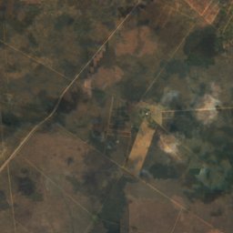
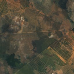
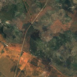
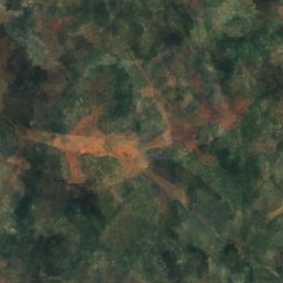
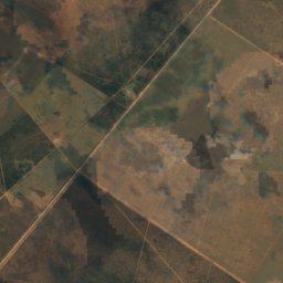
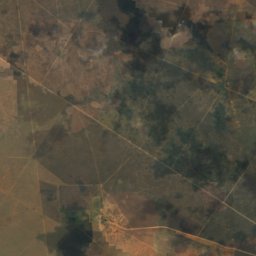
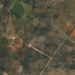
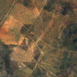
Satellite: Sentinel-2 cloudless 2016 by EOX IT Services GmbH · CC BY 4.0 · Contains modified Copernicus Sentinel data 2016
Ghaub Cave
Tsumeb, Oshikoto Region
Rivers
Rivers of Namibia


Photo: Sigismund von Dobschütz · CC BY-SA 3.0 · Wikimedia CommonsReport this photo · linked, not stored
Omaruru River
Kalkfeld, Otjozondjupa Region

Satellite: Sentinel-2 cloudless 2016 by EOX IT Services GmbH · CC BY 4.0 · Contains modified Copernicus Sentinel data 2016
Swakop River
Swakopmund, Erongo Region
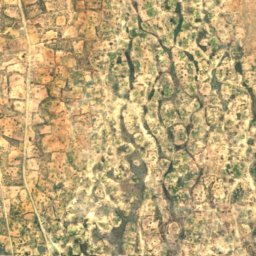
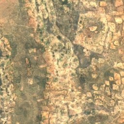
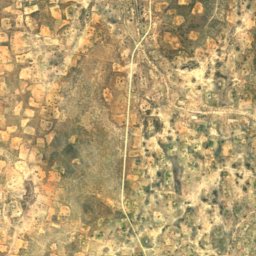
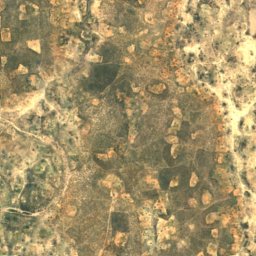
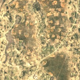
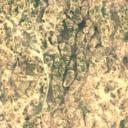
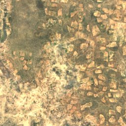
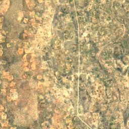
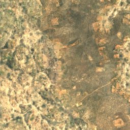
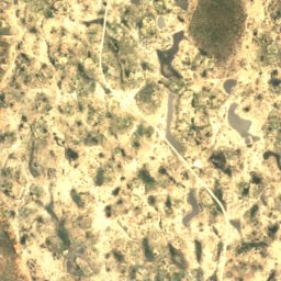
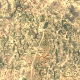
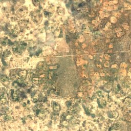
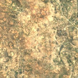
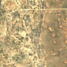
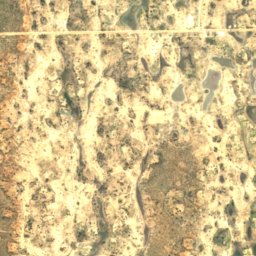


Satellite: Sentinel-2 cloudless 2016 by EOX IT Services GmbH · CC BY 4.0 · Contains modified Copernicus Sentinel data 2016
Oshigambo River
Oniipa, Oshikoto Region