

Photo: Agência Brasília · CC BY 2.0 · Wikimedia Commons
Planetário de BrasíliaReport this photo · linked, not stored
Planetário de BrasíliaPlanetário de BrasíliaReport this photo · linked, not stored

Photo: Sintegrity · CC BY-SA 4.0 · Wikimedia Commons
Teatro Dulcina de MoraesReport this photo · linked, not stored
Teatro Dulcina de MoraesTeatro Dulcina de MoraesReport this photo · linked, not stored

Photo: Sintegrity · CC BY-SA 4.0 · Wikimedia Commons
Cláudio Santoro National TheaterReport this photo · linked, not stored
Cláudio Santoro National TheaterCláudio Santoro National TheaterReport this photo · linked, not stored

Photo: Luis Dantas · Public domain · Wikimedia Commons
Cultural Complex of the RepublicReport this photo · linked, not stored
Cultural Complex of the RepublicCultural Complex of the RepublicReport this photo · linked, not stored
planned national capitalPlano Piloto, Federal District
Brasília
World Heritage SiteBuilt 1960
Typeplanned national capital
Built1960by architectural ensemble
Best monthsMay–Julweather in Plano Piloto
15.79° S, 47.88° WUTC−3 · Brasilia Standard Time
Standing for66 years
built 1960today 2026
When to goPlano Piloto · weather score
Best timeMay–Jul
October: high / low28° / 18°
iAbout
Brasília in brief
Brasília is a planned national capital in Plano Piloto, Federal District, Brazil.
It holds the designation World Heritage Site.
The planned national capital dates from 1960 and was designed by architectural ensemble.
For a visit, the weather in Plano Piloto is best in May, June and July; in October afternoons average 28°.
Facts
- Type
- planned national capital
- Designation
- World Heritage Site
- Built
- 1960
- Architect
- architectural ensemble
- Nearest town
- Plano Piloto
- Region
- Federal District
- Coordinates
- -15.79389, -47.88278
iiLocation
Where to find it
ivNearby
All monuments in BrazilMore heritage close by
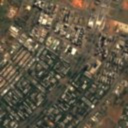
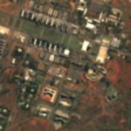
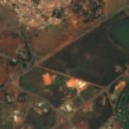
Satellite: Sentinel-2 cloudless 2016 by EOX IT Services GmbH · CC BY 4.0 · Contains modified Copernicus Sentinel data 2016
Pilot Plan of Brasília
under 100 m N
heritage asset listed by IPHAN

Planetário de Brasília
under 100 m SE
asset of historic and or cultural interest
Cláudio Santoro National Theater
0.3 km NE
heritage asset listed by IPHAN
Cultural Complex of the Republic
0.5 km SE
heritage asset listed by IPHAN
Around here
Plano Piloto and around
Nature


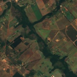
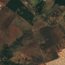
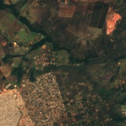
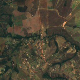
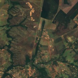
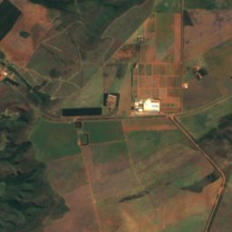
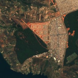
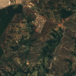
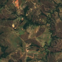
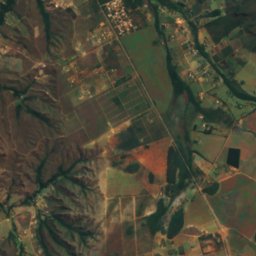
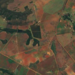
Satellite: Sentinel-2 cloudless 2016 by EOX IT Services GmbH · CC BY 4.0 · Contains modified Copernicus Sentinel data 2016
Sobradinho Creek
River · 916 m
Mountains
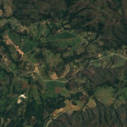
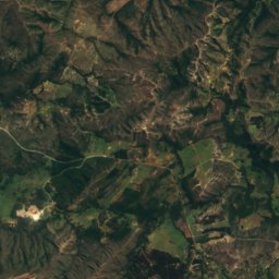
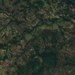
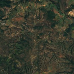
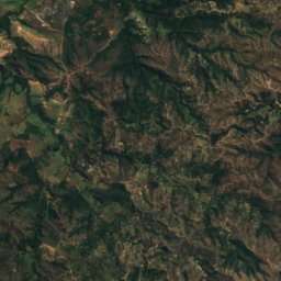
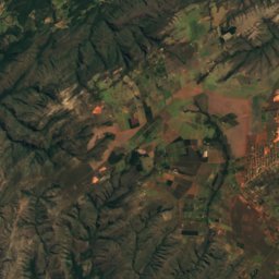
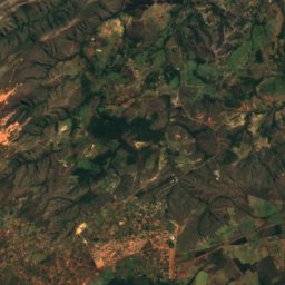
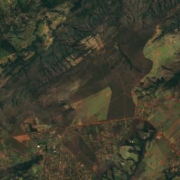
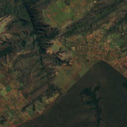
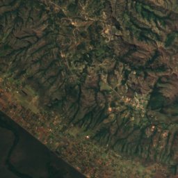
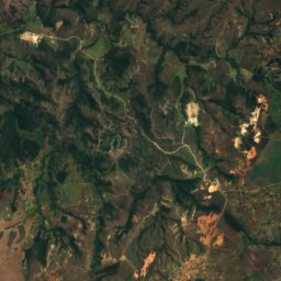
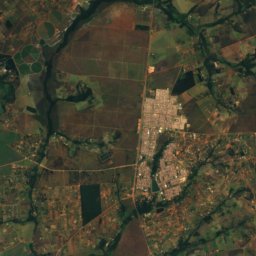
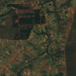
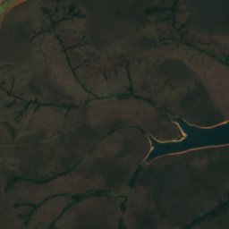
Satellite: Sentinel-2 cloudless 2016 by EOX IT Services GmbH · CC BY 4.0 · Contains modified Copernicus Sentinel data 2016
Pico do Roncador
1,341 m · Brazilian Highlands
Heritage


Photo: Mariordo (Mario Roberto Durán Ortiz) · CC BY-SA 4.0 · Wikimedia CommonsReport this photo · linked, not stored
Cathedral of Brasília
heritage asset listed by IPHAN · 1970

Museums


Photo: Eric Gaba, Wikimedia Commons user Sting · CC BY-SA 3.0 · Wikimedia CommonsReport this photo · linked, not stored

Museu da Cidade
1960