Hiking
Hiking routes with map, profile and weather
Every route has a map, an elevation profile, the walking time and grade, the best months, the weather on the way and a GPX file; long ones come in day stages.
Routes1,243with their own page
Stages697day by day
Hiking towns2,054five routes or more
Countries6so far

iBy country
Hiking country by country


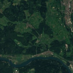
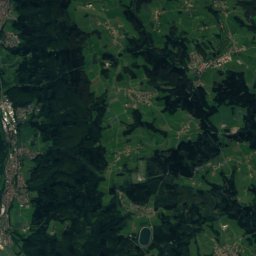
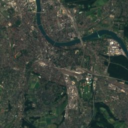
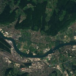
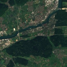
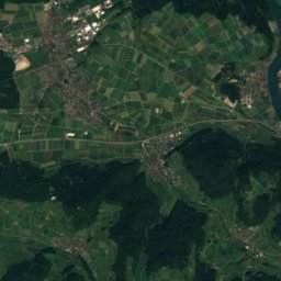
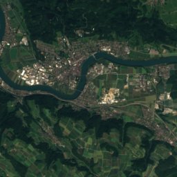
Satellite: Sentinel-2 cloudless 2016 by EOX IT Services GmbH · CC BY 4.0 · Contains modified Copernicus Sentinel data 2016
Germany
Rheinfelden - Bachtele
3routes
6.8 kmlongest
–official

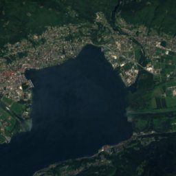
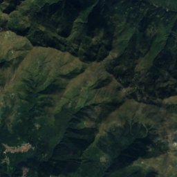
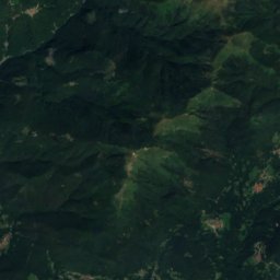
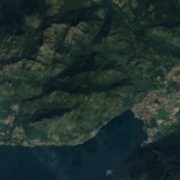
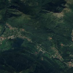
Satellite: Sentinel-2 cloudless 2016 by EOX IT Services GmbH · CC BY 4.0 · Contains modified Copernicus Sentinel data 2016
Italy
Monte Garzirola
1routes
8.2 kmlongest
–official

iiCamino de Santiago
The ways to Santiago in day stages
Each way is cut into day stages of about 20–25 km between towns with a place to sleep, with the climb, the time and the weather of every stage.

iiiHiking towns
Where to stay and walk every day


Photo: Kecko from Switzerland (Rheintal SG) · CC BY 2.0 · Wikimedia CommonsReport this photo · linked, not stored
St. Moritz
44routes
1,845 maltitude


Photo: The original uploader was Yesuitus2001 at German Wikipedia. · CC BY-SA 2.5 · Wikimedia CommonsReport this photo · linked, not stored
Lauterbrunnen
77routes
787 maltitude

ivBest documented
Switzerland: 1,229 routesRoutes to start with


Photo: upload by Adrian Michael · CC BY-SA 3.0 · Wikimedia CommonsReport this photo · linked, not stored


