자연
나미비아의 물가, 빙하, 야생
호수, 폭포, 빙하, 국립공원, 산장. 각각의 위치, 규모, 주변 날씨를 소개합니다.
호수1곳(개별 페이지 있음)
해변3곳(개별 페이지 있음)
섬23곳(개별 페이지 있음)
동굴4곳(개별 페이지 있음)

호수
나미비아의 호수

해변
나미비아의 해변


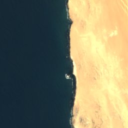



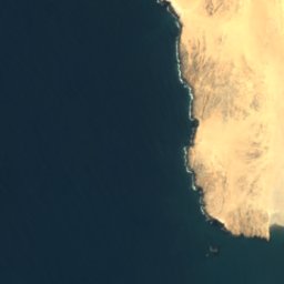
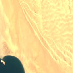



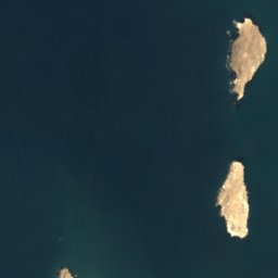
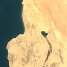
위성: Sentinel-2 cloudless 2016(EOX IT Services GmbH) · CC BY 4.0 · 수정된 Copernicus Sentinel 데이터(2016) 포함
Agate Beach
Lüderitz, Karas Region
4 m

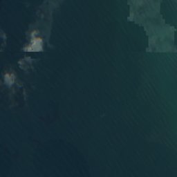
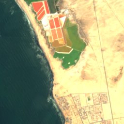
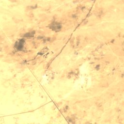
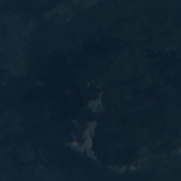

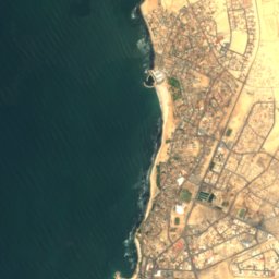
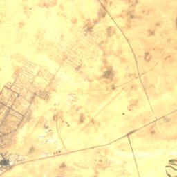

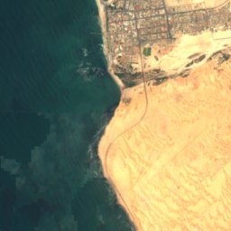
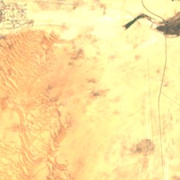
위성: Sentinel-2 cloudless 2016(EOX IT Services GmbH) · CC BY 4.0 · 수정된 Copernicus Sentinel 데이터(2016) 포함
North Beach
Swakopmund, Erongo Region
위성: Sentinel-2 cloudless 2016(EOX IT Services GmbH) · CC BY 4.0 · 수정된 Copernicus Sentinel 데이터(2016) 포함
South Beach
Swakopmund, Erongo Region
섬
나미비아의 섬


위성: Sentinel-2 cloudless 2016(EOX IT Services GmbH) · CC BY 4.0 · 수정된 Copernicus Sentinel 데이터(2016) 포함
Flamingo Island
Lüderitz, Karas Region
7 m
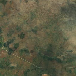
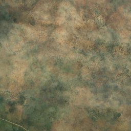
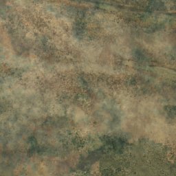
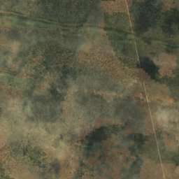
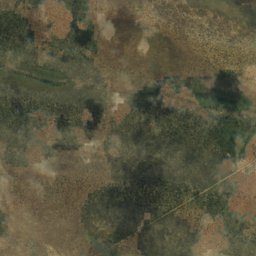
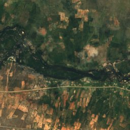
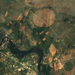
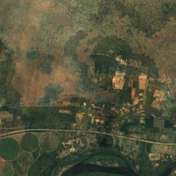
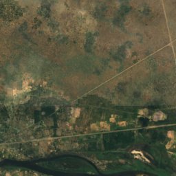
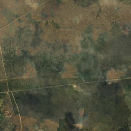
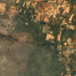
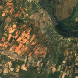
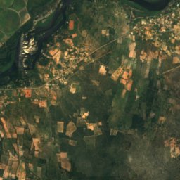
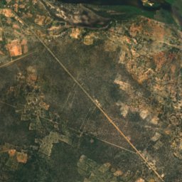
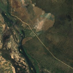
위성: Sentinel-2 cloudless 2016(EOX IT Services GmbH) · CC BY 4.0 · 수정된 Copernicus Sentinel 데이터(2016) 포함
Bagani Island
Bagani, Zambezi Region
1,001 m
위성: Sentinel-2 cloudless 2016(EOX IT Services GmbH) · CC BY 4.0 · 수정된 Copernicus Sentinel 데이터(2016) 포함
Catsho Island
Bagani, Zambezi Region
1,002 m

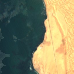
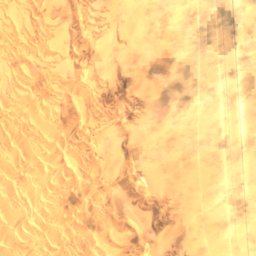


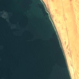
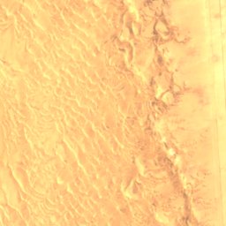
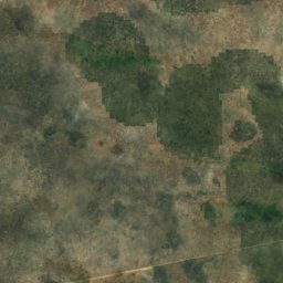
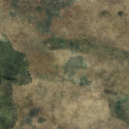
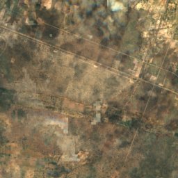
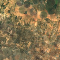
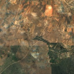
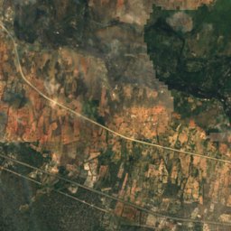
위성: Sentinel-2 cloudless 2016(EOX IT Services GmbH) · CC BY 4.0 · 수정된 Copernicus Sentinel 데이터(2016) 포함
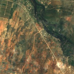
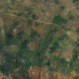
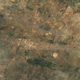
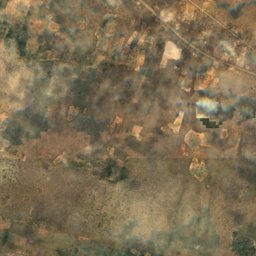
Caution Reef
Swakopmund, Erongo Region
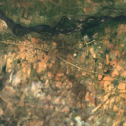
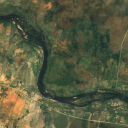
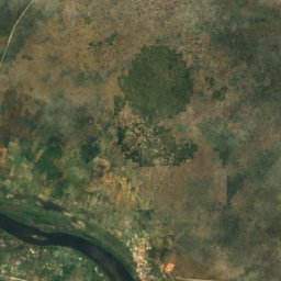
동굴
나미비아의 동굴

사진: Hansueli Krapf This file was uploaded with Commonist. · CC BY-SA 3.0 · Wikimedia Commons이 사진 신고 · 링크만, 저장 없음
Bushman Paradise Cave
Usakos, Erongo Region

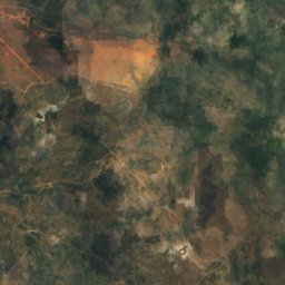
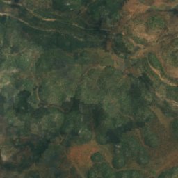
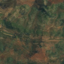
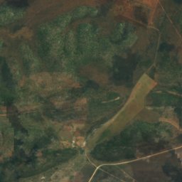
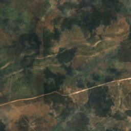
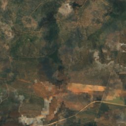
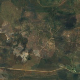
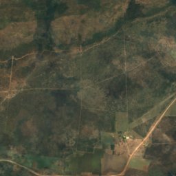
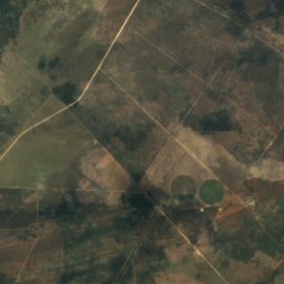
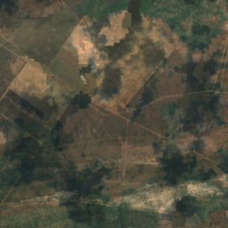
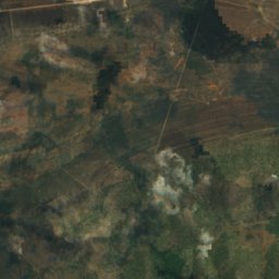
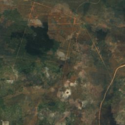
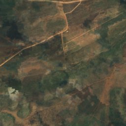
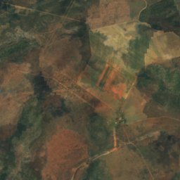
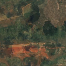
위성: Sentinel-2 cloudless 2016(EOX IT Services GmbH) · CC BY 4.0 · 수정된 Copernicus Sentinel 데이터(2016) 포함
Drachenhauchloch
Tsumeb, Oshikoto Region
1,540 m
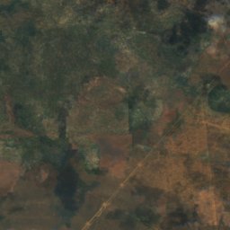
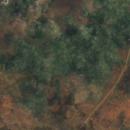
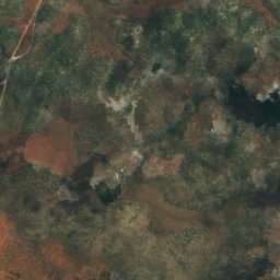
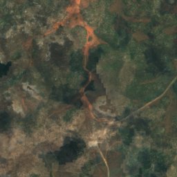
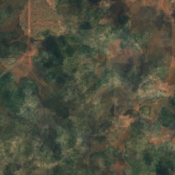
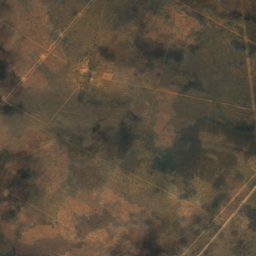
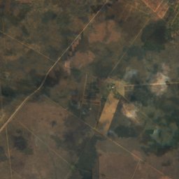
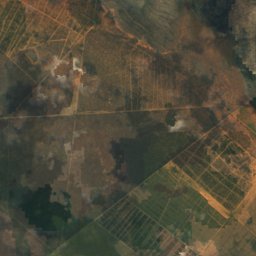
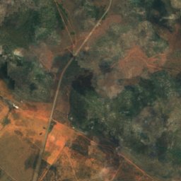
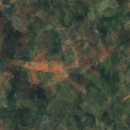
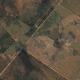
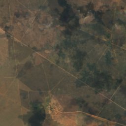
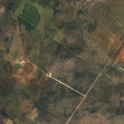
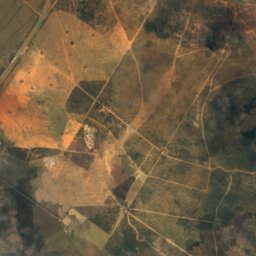
위성: Sentinel-2 cloudless 2016(EOX IT Services GmbH) · CC BY 4.0 · 수정된 Copernicus Sentinel 데이터(2016) 포함
Ghaub Cave
Tsumeb, Oshikoto Region
강
나미비아의 강


위성: Sentinel-2 cloudless 2016(EOX IT Services GmbH) · CC BY 4.0 · 수정된 Copernicus Sentinel 데이터(2016) 포함
Swakop River
Swakopmund, Erongo Region
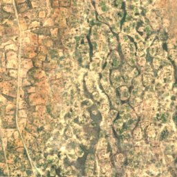
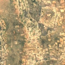
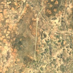
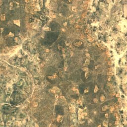
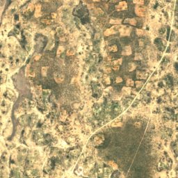
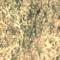
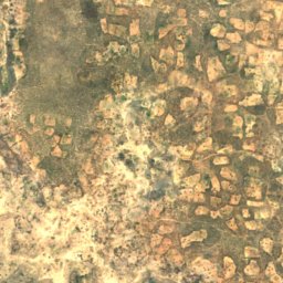
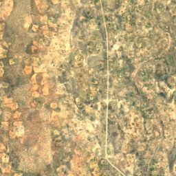
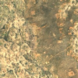
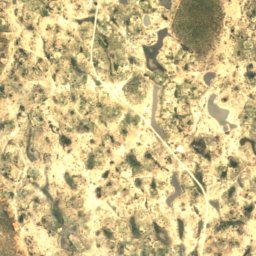
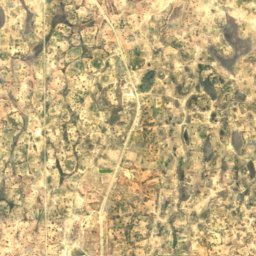
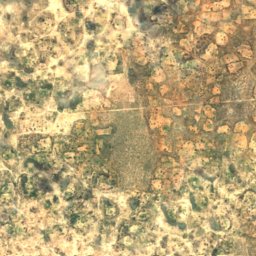
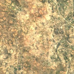
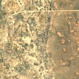
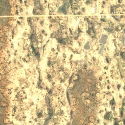


위성: Sentinel-2 cloudless 2016(EOX IT Services GmbH) · CC BY 4.0 · 수정된 Copernicus Sentinel 데이터(2016) 포함
Oshigambo River
Oniipa, Oshikoto Region