ธรรมชาติ
แหล่งน้ำ ธารน้ำแข็ง และธรรมชาติอันกว้างใหญ่ของนามิเบีย
ทะเลสาบ น้ำตก ธารน้ำแข็ง อุทยานแห่งชาติ และที่พักบนภูเขา แต่ละแห่งพร้อมที่ตั้ง ขนาด และสภาพอากาศโดยรอบ
ทะเลสาบ1แต่ละแห่งมีหน้าของตัวเอง
ชายหาด3แต่ละแห่งมีหน้าของตัวเอง
เกาะ23แต่ละแห่งมีหน้าของตัวเอง
ถ้ำ4แต่ละแห่งมีหน้าของตัวเอง

ภาพ: Hp.Baumeler · CC BY-SA 4.0 · Wikimedia Commonsแจ้งเกี่ยวกับภาพนี้ · ลิงก์ไปยังต้นทาง ไม่จัดเก็บ
ทะเลสาบ
ทะเลสาบในนามิเบีย

ภาพ: Hp.Baumeler · CC BY-SA 4.0 · Wikimedia Commonsแจ้งเกี่ยวกับภาพนี้ · ลิงก์ไปยังต้นทาง ไม่จัดเก็บ
Nyae Nyae Pan
Tsumkwe, Otjozondjupa Region
ชายหาด
ชายหาดในนามิเบีย


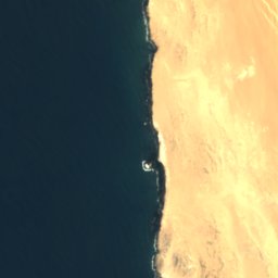



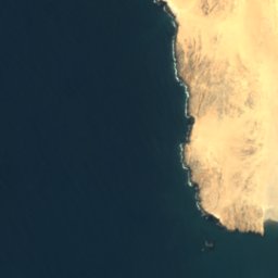
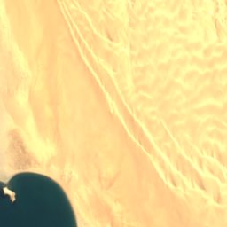



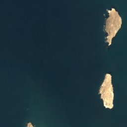
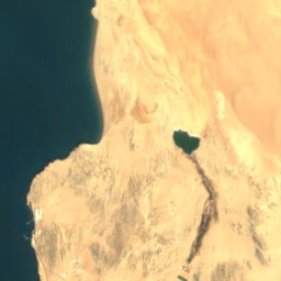
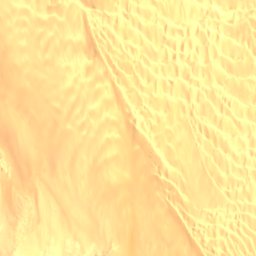
ดาวเทียม: Sentinel-2 cloudless 2016 โดย EOX IT Services GmbH · CC BY 4.0 · มีข้อมูล Copernicus Sentinel (2016) ที่ดัดแปลงแล้ว
Agate Beach
Lüderitz, Karas Region
4 m

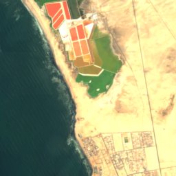


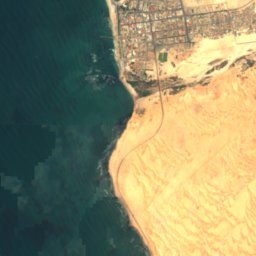
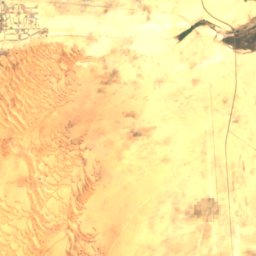
ดาวเทียม: Sentinel-2 cloudless 2016 โดย EOX IT Services GmbH · CC BY 4.0 · มีข้อมูล Copernicus Sentinel (2016) ที่ดัดแปลงแล้ว
North Beach
Swakopmund, Erongo Region
ดาวเทียม: Sentinel-2 cloudless 2016 โดย EOX IT Services GmbH · CC BY 4.0 · มีข้อมูล Copernicus Sentinel (2016) ที่ดัดแปลงแล้ว
South Beach
Swakopmund, Erongo Region
เกาะ
เกาะในนามิเบีย

ภาพ: Olga Ernst & Hp.Baumeler · CC BY-SA 4.0 · Wikimedia Commonsแจ้งเกี่ยวกับภาพนี้ · ลิงก์ไปยังต้นทาง ไม่จัดเก็บ
Seal Island
Lüderitz, Karas Region
43 m


ภาพ: John Zwinck · CC BY-SA 3.0 · Wikimedia Commonsแจ้งเกี่ยวกับภาพนี้ · ลิงก์ไปยังต้นทาง ไม่จัดเก็บ
Bird Island
อ่าววัลฟิส, Erongo Region

ภาพ: Uploaded on April 24, 2006 by SqueakyMarmot · CC BY 2.0 · Wikimedia Commonsแจ้งเกี่ยวกับภาพนี้ · ลิงก์ไปยังต้นทาง ไม่จัดเก็บ
Penguin Island
Lüderitz, Karas Region
ดาวเทียม: Sentinel-2 cloudless 2016 โดย EOX IT Services GmbH · CC BY 4.0 · มีข้อมูล Copernicus Sentinel (2016) ที่ดัดแปลงแล้ว
Flamingo Island
Lüderitz, Karas Region
7 m
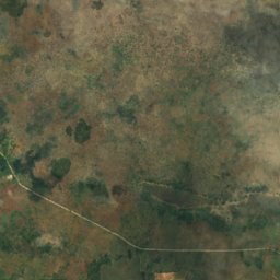
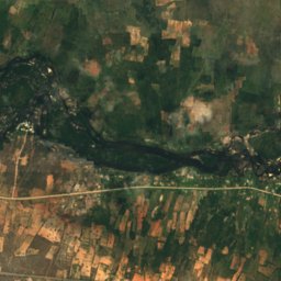
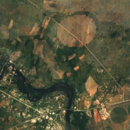
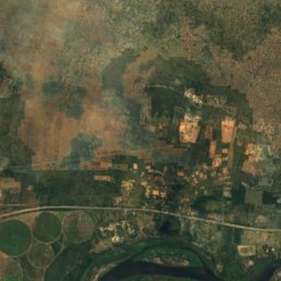
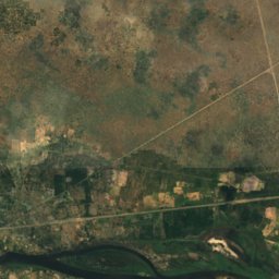
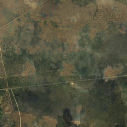
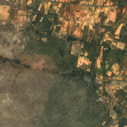
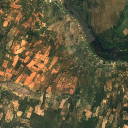
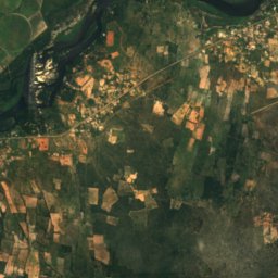
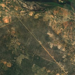
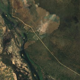
ดาวเทียม: Sentinel-2 cloudless 2016 โดย EOX IT Services GmbH · CC BY 4.0 · มีข้อมูล Copernicus Sentinel (2016) ที่ดัดแปลงแล้ว
Bagani Island
Bagani, Zambezi Region
1,001 m
ดาวเทียม: Sentinel-2 cloudless 2016 โดย EOX IT Services GmbH · CC BY 4.0 · มีข้อมูล Copernicus Sentinel (2016) ที่ดัดแปลงแล้ว
Catsho Island
Bagani, Zambezi Region
1,002 m

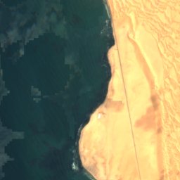


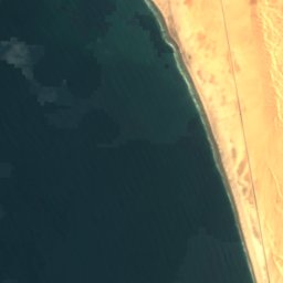
ดาวเทียม: Sentinel-2 cloudless 2016 โดย EOX IT Services GmbH · CC BY 4.0 · มีข้อมูล Copernicus Sentinel (2016) ที่ดัดแปลงแล้ว
Caution Reef
Swakopmund, Erongo Region
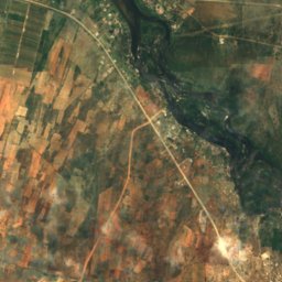
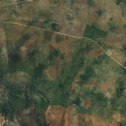
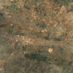
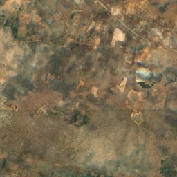
รายการทั้งหมด: เกาะ 23 แห่ง
ถ้ำ
ถ้ำในนามิเบีย

ภาพ: Hansueli Krapf This file was uploaded with Commonist. · CC BY-SA 3.0 · Wikimedia Commonsแจ้งเกี่ยวกับภาพนี้ · ลิงก์ไปยังต้นทาง ไม่จัดเก็บ
Bushman Paradise Cave
Usakos, Erongo Region

ดาวเทียม: Sentinel-2 cloudless 2016 โดย EOX IT Services GmbH · CC BY 4.0 · มีข้อมูล Copernicus Sentinel (2016) ที่ดัดแปลงแล้ว
Drachenhauchloch
Tsumeb, Oshikoto Region
1,540 m
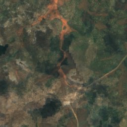
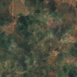
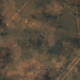
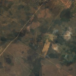
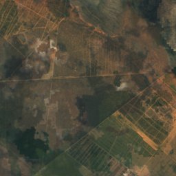
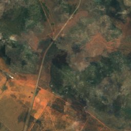
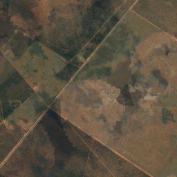
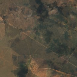
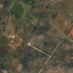
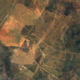
ดาวเทียม: Sentinel-2 cloudless 2016 โดย EOX IT Services GmbH · CC BY 4.0 · มีข้อมูล Copernicus Sentinel (2016) ที่ดัดแปลงแล้ว
Ghaub Cave
Tsumeb, Oshikoto Region
แม่น้ำ
แม่น้ำในนามิเบีย


ภาพ: Sigismund von Dobschütz · CC BY-SA 3.0 · Wikimedia Commonsแจ้งเกี่ยวกับภาพนี้ · ลิงก์ไปยังต้นทาง ไม่จัดเก็บ
Omaruru River
Kalkfeld, Otjozondjupa Region

ภาพ: Hp.Baumeler · CC BY-SA 4.0 · Wikimedia Commonsแจ้งเกี่ยวกับภาพนี้ · ลิงก์ไปยังต้นทาง ไม่จัดเก็บ
Ovambo River
Namutoni, Oshikoto Region
ดาวเทียม: Sentinel-2 cloudless 2016 โดย EOX IT Services GmbH · CC BY 4.0 · มีข้อมูล Copernicus Sentinel (2016) ที่ดัดแปลงแล้ว
Swakop River
Swakopmund, Erongo Region
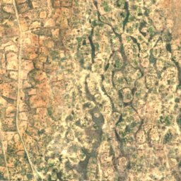
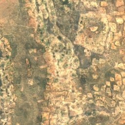
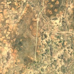
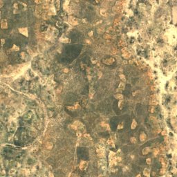
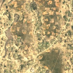
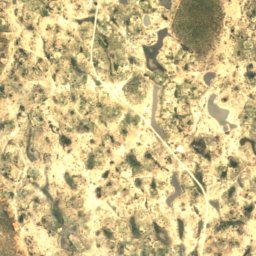
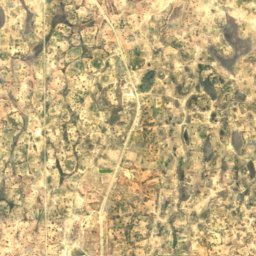
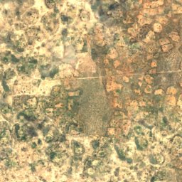
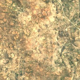
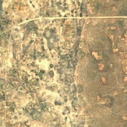
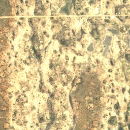


ดาวเทียม: Sentinel-2 cloudless 2016 โดย EOX IT Services GmbH · CC BY 4.0 · มีข้อมูล Copernicus Sentinel (2016) ที่ดัดแปลงแล้ว
Oshigambo River
Oniipa, Oshikoto Region