Photo: Sigismund von Dobschütz · CC BY-SA 3.0 · Wikimedia Commons
Omaruru RiverReport this photo · linked, not stored
Omaruru RiverReport this photo · linked, not stored
RiverKalkfeld, Otjozondjupa Region
Omaruru River
RiverBest May–Jul
Elevation–above sea level
Length330 kmsource to mouth
Nearest townKalkfeld26 km
20.99° S, 16.42° EUTC+2 · Central Africa Time
When to goKalkfeld · weather score
Best timeMay–Jul
October: high / low31° / 16°
River
Omaruru River in brief
Omaruru River is a river in Kalkfeld, Otjozondjupa Region, Namibia.
The nearest town is Kalkfeld, 26 km to the NW, where the weather is best in May, June and July.
Omaruru River is 330 km long.
Weather nearby now
Forecast for Kalkfeld24°
Cloudy now
Today
31 Oct
34°
20°
Sun
1 Nov
35°
20°
Mon
2 Nov
35°
20°
1 mm
Tue
3 Nov
36°
20°
Wed
4 Nov
37°
20°
Model run 12:00 UTCRefreshed several times a day
The course of the river
As mapped in OpenStreetMap, with the towns along its banks.sourcemouth (or where the mapped line leaves the country)
When to go
Climate of KalkfeldThe best months around Omaruru River
Month score in Kalkfeld
Comfort, dry days and sunshine · out of 10045
Jan
51
Feb
55
Mar
78
Apr
98
May
100
Jun
100
Jul
98
Aug
83
Sep
72
Oct
63
Nov
46
Dec
Map
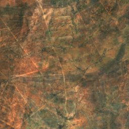
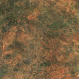
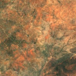
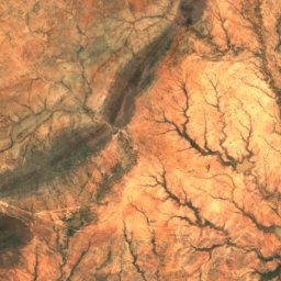
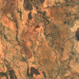
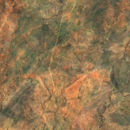
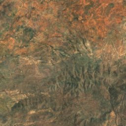
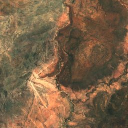
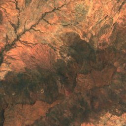
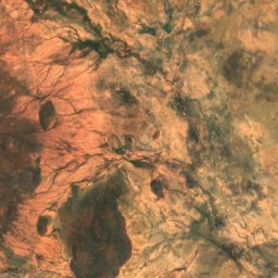
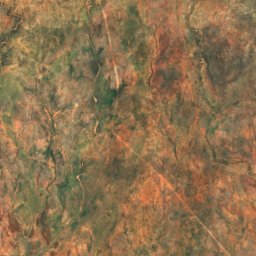
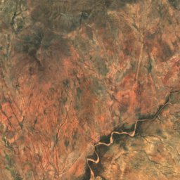
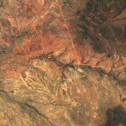
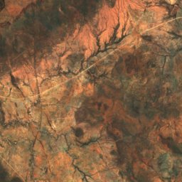
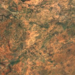
Omaruru River from above
Summits nearbyMountains of Namibia
Around here