Natur
Wasser, Eis und Wildnis in Namibia
Seen, Wasserfälle, Gletscher, Nationalparks und Berghütten – jeweils mit Lage, Größe und dem Wetter der Orte ringsum.
Seen1mit eigener Seite
Strände3mit eigener Seite
Inseln23mit eigener Seite
Höhlen4mit eigener Seite

Seen
Seen Namibias

Strände
Strände Namibias


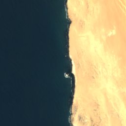


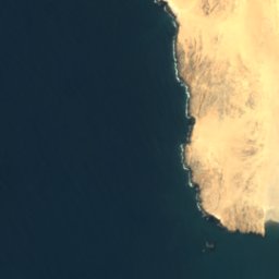
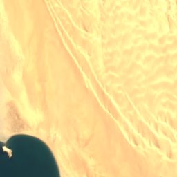


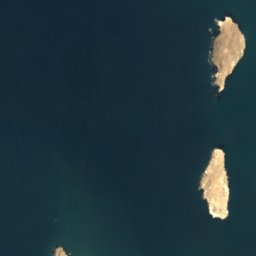
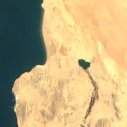
Satellit: Sentinel-2 cloudless 2016 by EOX IT Services GmbH · CC BY 4.0 · Contains modified Copernicus Sentinel data 2016
Agate Beach
Lüderitz, Karas Region
4 m

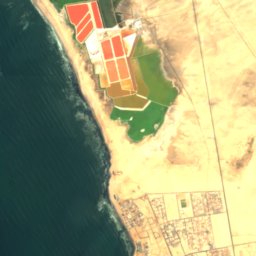


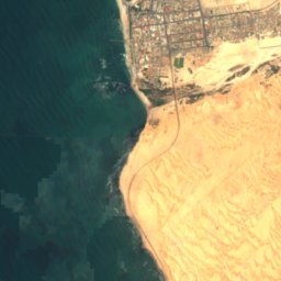
Satellit: Sentinel-2 cloudless 2016 by EOX IT Services GmbH · CC BY 4.0 · Contains modified Copernicus Sentinel data 2016
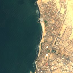
North Beach
Swakopmund, Erongo Region
Satellit: Sentinel-2 cloudless 2016 by EOX IT Services GmbH · CC BY 4.0 · Contains modified Copernicus Sentinel data 2016
South Beach
Swakopmund, Erongo Region
Inseln
Inseln Namibias

Foto: Olga Ernst & Hp.Baumeler · CC BY-SA 4.0 · Wikimedia CommonsFoto melden · verlinkt, nicht gespeichert
Seal Island
Lüderitz, Karas Region
43 m


Foto: Uploaded on April 24, 2006 by SqueakyMarmot · CC BY 2.0 · Wikimedia CommonsFoto melden · verlinkt, nicht gespeichert
Penguin Island
Lüderitz, Karas Region
Satellit: Sentinel-2 cloudless 2016 by EOX IT Services GmbH · CC BY 4.0 · Contains modified Copernicus Sentinel data 2016
Flamingo Island
Lüderitz, Karas Region
7 m
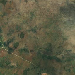
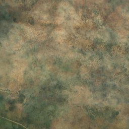
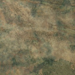
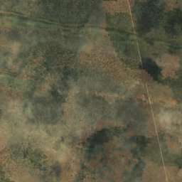
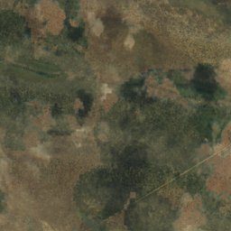
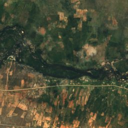
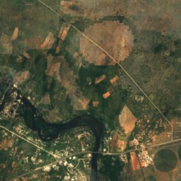
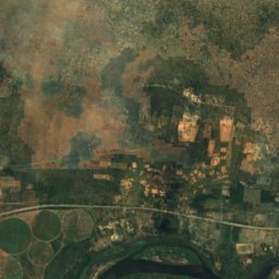
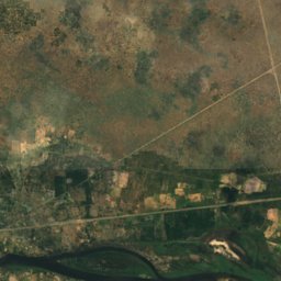
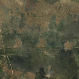
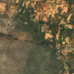
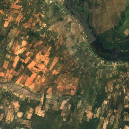
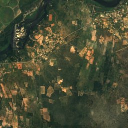
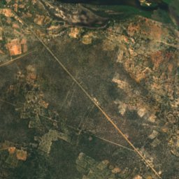
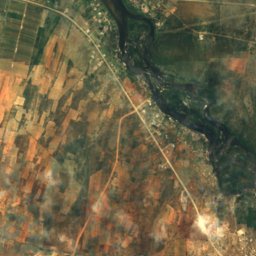
Satellit: Sentinel-2 cloudless 2016 by EOX IT Services GmbH · CC BY 4.0 · Contains modified Copernicus Sentinel data 2016
Bagani Island
Bagani, Zambezi Region
1.001 m
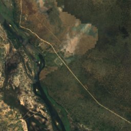
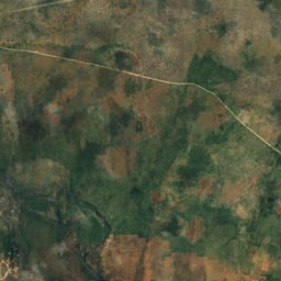
Satellit: Sentinel-2 cloudless 2016 by EOX IT Services GmbH · CC BY 4.0 · Contains modified Copernicus Sentinel data 2016
Catsho Island
Bagani, Zambezi Region
1.002 m



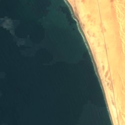
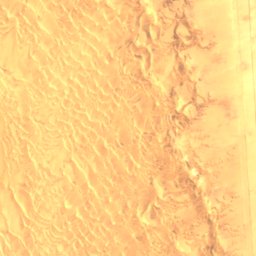
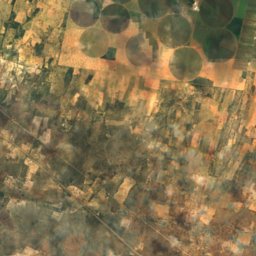
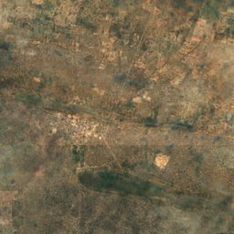
Satellit: Sentinel-2 cloudless 2016 by EOX IT Services GmbH · CC BY 4.0 · Contains modified Copernicus Sentinel data 2016
Caution Reef
Swakopmund, Erongo Region
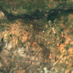
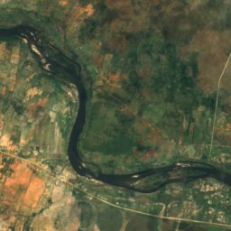
Alle 23 Inseln
Höhlen
Höhlen Namibias

Foto: Hansueli Krapf This file was uploaded with Commonist. · CC BY-SA 3.0 · Wikimedia CommonsFoto melden · verlinkt, nicht gespeichert
Buschmann-Paradies
Usakos, Erongo Region

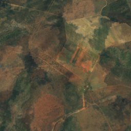
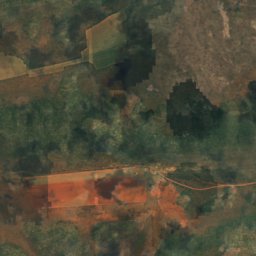
Satellit: Sentinel-2 cloudless 2016 by EOX IT Services GmbH · CC BY 4.0 · Contains modified Copernicus Sentinel data 2016
Drachenhauchloch
Tsumeb, Oshikoto Region
1.540 m
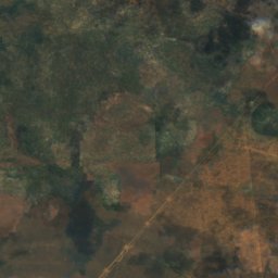
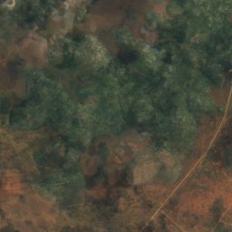
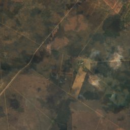
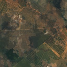
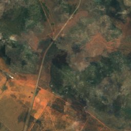
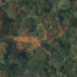
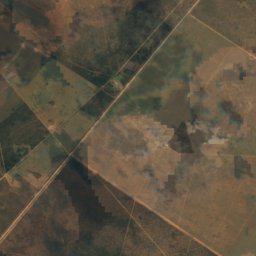
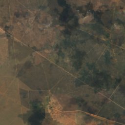
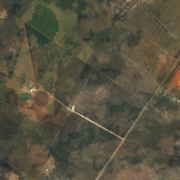
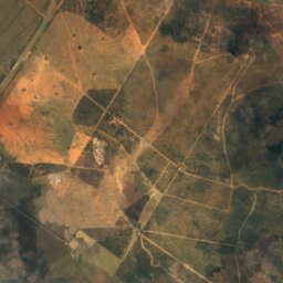
Satellit: Sentinel-2 cloudless 2016 by EOX IT Services GmbH · CC BY 4.0 · Contains modified Copernicus Sentinel data 2016
Gaub-Höhle
Tsumeb, Oshikoto Region
Flüsse
Flüsse Namibias


Foto: Sigismund von Dobschütz · CC BY-SA 3.0 · Wikimedia CommonsFoto melden · verlinkt, nicht gespeichert
Omaruru
Kalkfeld, Otjozondjupa Region