自然
ナミビアの水辺、氷河、原野
湖、滝、氷河、国立公園、山小屋。それぞれの場所、規模、周辺の天気を掲載。
湖1か所(個別ページあり)
ビーチ3か所(個別ページあり)
島23か所(個別ページあり)
洞窟4か所(個別ページあり)

湖
ナミビアの湖

ビーチ
ナミビアのビーチ


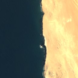


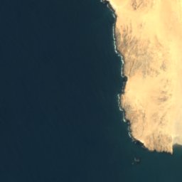
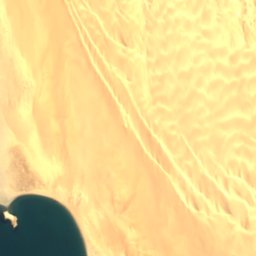


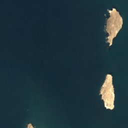
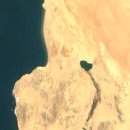
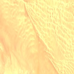
衛星: Sentinel-2 cloudless 2016(EOX IT Services GmbH) · CC BY 4.0 · 改変したCopernicus Sentinelデータ(2016年)を含みます
Agate Beach
Lüderitz, Karas Region
4 m

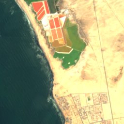
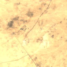

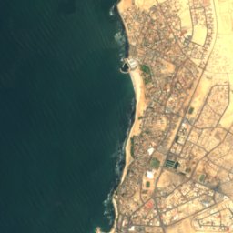
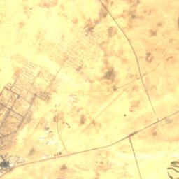

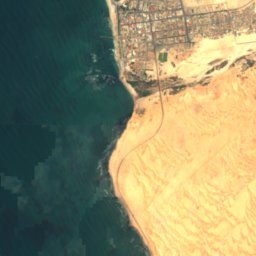
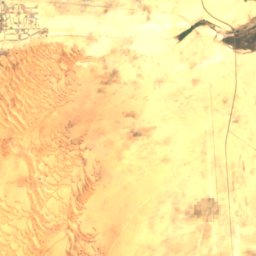
衛星: Sentinel-2 cloudless 2016(EOX IT Services GmbH) · CC BY 4.0 · 改変したCopernicus Sentinelデータ(2016年)を含みます
North Beach
Swakopmund, Erongo Region
衛星: Sentinel-2 cloudless 2016(EOX IT Services GmbH) · CC BY 4.0 · 改変したCopernicus Sentinelデータ(2016年)を含みます
South Beach
Swakopmund, Erongo Region
島
ナミビアの島


衛星: Sentinel-2 cloudless 2016(EOX IT Services GmbH) · CC BY 4.0 · 改変したCopernicus Sentinelデータ(2016年)を含みます
Flamingo Island
Lüderitz, Karas Region
7 m
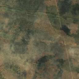
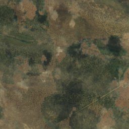
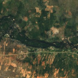
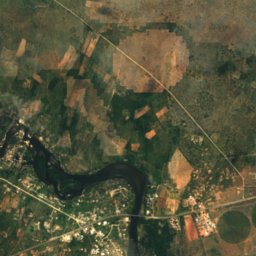
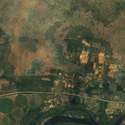
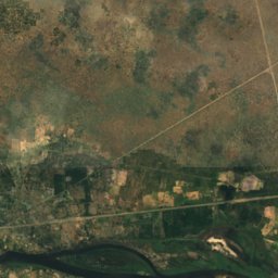
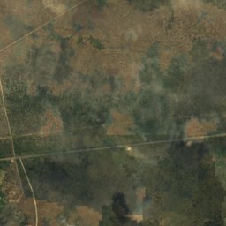
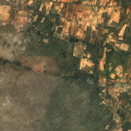
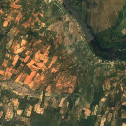
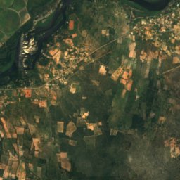
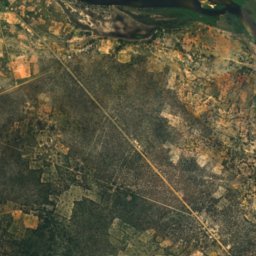
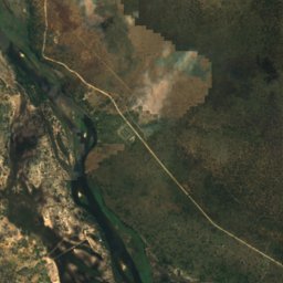
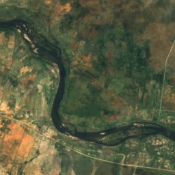
衛星: Sentinel-2 cloudless 2016(EOX IT Services GmbH) · CC BY 4.0 · 改変したCopernicus Sentinelデータ(2016年)を含みます
Bagani Island
Bagani, Zambezi Region
1,001 m
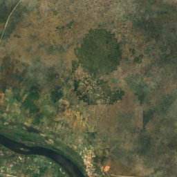
衛星: Sentinel-2 cloudless 2016(EOX IT Services GmbH) · CC BY 4.0 · 改変したCopernicus Sentinelデータ(2016年)を含みます
Catsho Island
Bagani, Zambezi Region
1,002 m



衛星: Sentinel-2 cloudless 2016(EOX IT Services GmbH) · CC BY 4.0 · 改変したCopernicus Sentinelデータ(2016年)を含みます
Caution Reef
Swakopmund, Erongo Region
洞窟
ナミビアの洞窟

写真: Hansueli Krapf This file was uploaded with Commonist. · CC BY-SA 3.0 · Wikimedia Commonsこの写真を報告 · リンクのみ、保存なし
Bushman Paradise Cave
Usakos, Erongo Region

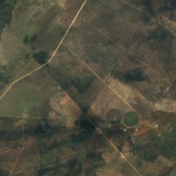
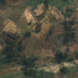
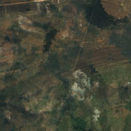
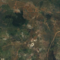
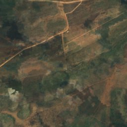
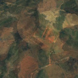
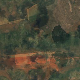
衛星: Sentinel-2 cloudless 2016(EOX IT Services GmbH) · CC BY 4.0 · 改変したCopernicus Sentinelデータ(2016年)を含みます
ドラゴンズブレス洞窟
Tsumeb, Oshikoto Region
1,540 m
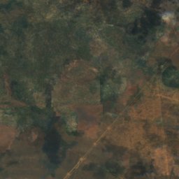
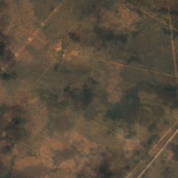
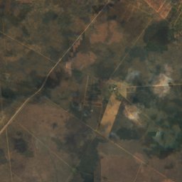
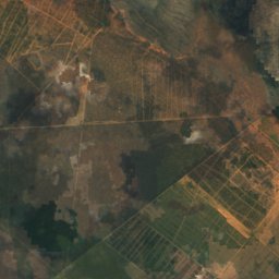
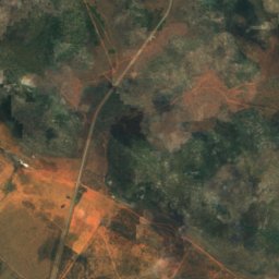
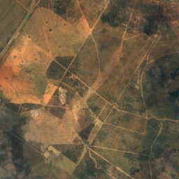
衛星: Sentinel-2 cloudless 2016(EOX IT Services GmbH) · CC BY 4.0 · 改変したCopernicus Sentinelデータ(2016年)を含みます
Ghaub Cave
Tsumeb, Oshikoto Region
川
ナミビアの川


衛星: Sentinel-2 cloudless 2016(EOX IT Services GmbH) · CC BY 4.0 · 改変したCopernicus Sentinelデータ(2016年)を含みます
スワコップ川
Swakopmund, Erongo Region
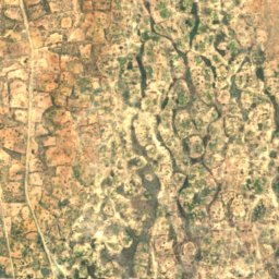
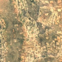
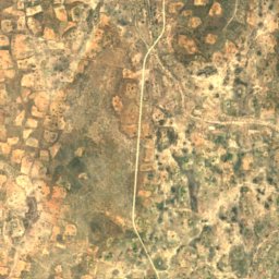
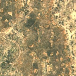
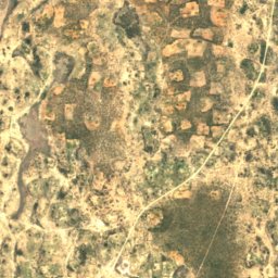
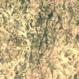
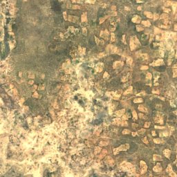
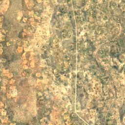
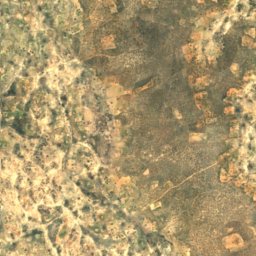
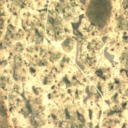
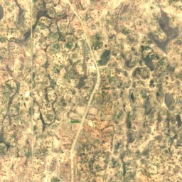
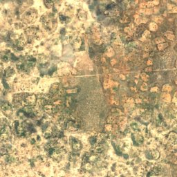
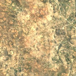
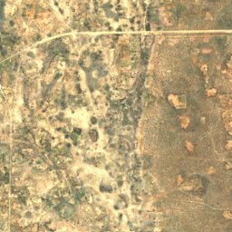
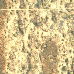


衛星: Sentinel-2 cloudless 2016(EOX IT Services GmbH) · CC BY 4.0 · 改変したCopernicus Sentinelデータ(2016年)を含みます
Oshigambo River
Oniipa, Oshikoto Region