Photo: Hp.Baumeler · CC BY-SA 4.0 · Wikimedia Commons
Ovambo RiverReport this photo · linked, not stored
Ovambo RiverReport this photo · linked, not stored
RiverNamutoni, Oshikoto Region
Ovambo River
RiverBest May–Jul
Elevation–above sea level
Area–surface
Nearest townNamutoni12 km
18.74° S, 17.03° EUTC+2 · Central Africa Time
When to goNamutoni · weather score
Best timeMay–Jul
October: high / low34° / 20°
River
Ovambo River in brief
Ovambo River is a river in Namutoni, Oshikoto Region, Namibia.
The nearest town is Namutoni, 12 km to the SW, where the weather is best in May, June and July.
Weather nearby now
Forecast for Namutoni27°
Cloudy now
Today
27 Oct
35°
27°
Wed
28 Oct
34°
22°
2 mm
Thu
29 Oct
33°
21°
3 mm
Fri
30 Oct
33°
21°
5 mm
Sat
31 Oct
34°
20°
1 mm
Model run 12:00 UTCRefreshed several times a day
The course of the river
As mapped in OpenStreetMap, with the towns along its banks.sourcemouth (or where the mapped line leaves the country)
When to go
Climate of NamutoniThe best months around Ovambo River
Month score in Namutoni
Comfort, dry days and sunshine · out of 10036
Jan
41
Feb
45
Mar
66
Apr
85
May
97
Jun
98
Jul
84
Aug
67
Sep
57
Oct
52
Nov
35
Dec
Map
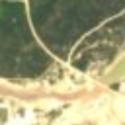
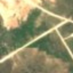
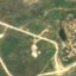
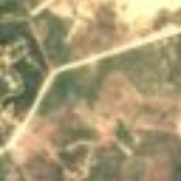
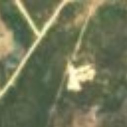
Ovambo River from above
Stay nearby
Towns close by

Photo: SqueakyMarmot / Mike, Vancouver, Canada · CC BY 2.0 · Wikimedia CommonsReport this photo · linked, not stored
Namutoni
Oshikoto Region · 12 km SW
34°Oct high
2wet days
57score

Around here
Namutoni and around
Photo: SqueakyMarmot / Mike, Vancouver, Canada · CC BY 2.0 · Wikimedia CommonsReport this photo · linked, not stored
Namutoni
Oshikoto Region · Namibia
May–Julbest months
26°July high
1,091 maltitude