





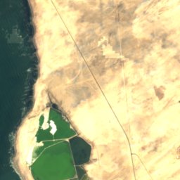






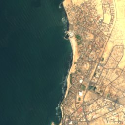






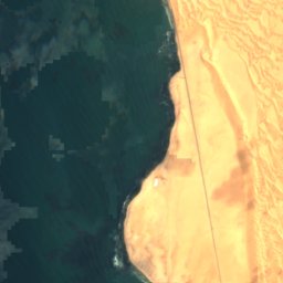
Satellite: Sentinel-2 cloudless 2016 by EOX IT Services GmbH · CC BY 4.0 · Contains modified Copernicus Sentinel data 2016

Photo: John Zwinck · CC BY-SA 3.0 · Wikimedia Commons
Bird IslandReport this photo · linked, not stored
Bird IslandBird IslandReport this photo · linked, not stored
IslandSwakopmund, Erongo Region
Swakop Reef
IslandBest May–Jul
Elevation–above sea level
Area–surface
Nearest townSwakopmund3.0 km
22.67° S, 14.50° EUTC+2 · Central Africa Time
When to goSwakopmund · weather score
Best timeMay–Jul
October: high / low21° / 12°
Island
Swakop Reef in brief
Swakop Reef is an island in Swakopmund, Erongo Region, Namibia.
The nearest town in the atlas is Swakopmund, 3.0 km to the SE, where the weather is best in May, June and July.
Weather nearby now
Forecast for Swakopmund16°
Sunny now
Today
22 Oct
17°
13°
Fri
23 Oct
19°
14°
Sat
24 Oct
16°
14°
Sun
25 Oct
17°
14°
Mon
26 Oct
17°
13°
Model run 00:00 UTCRefreshed several times a day
Map
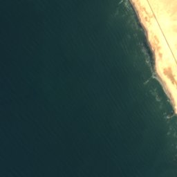
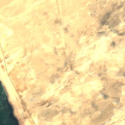
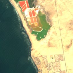
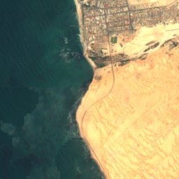
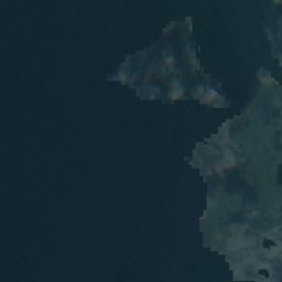
Swakop Reef from above
Nature nearbyAll of Namibia
Satellite: Sentinel-2 cloudless 2016 by EOX IT Services GmbH · CC BY 4.0 · Contains modified Copernicus Sentinel data 2016
Satellite: Sentinel-2 cloudless 2016 by EOX IT Services GmbH · CC BY 4.0 · Contains modified Copernicus Sentinel data 2016
Satellite: Sentinel-2 cloudless 2016 by EOX IT Services GmbH · CC BY 4.0 · Contains modified Copernicus Sentinel data 2016


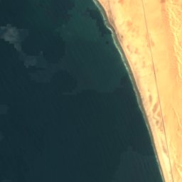
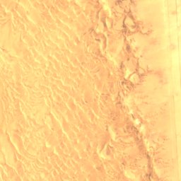
Satellite: Sentinel-2 cloudless 2016 by EOX IT Services GmbH · CC BY 4.0 · Contains modified Copernicus Sentinel data 2016

Stay nearby
Towns close by


Around here
Swakopmund and around
Nature
Satellite: Sentinel-2 cloudless 2016 by EOX IT Services GmbH · CC BY 4.0 · Contains modified Copernicus Sentinel data 2016
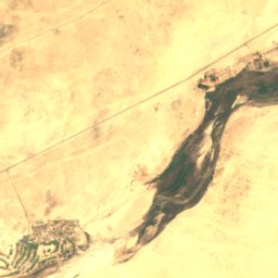
Swakop River
River
Satellite: Sentinel-2 cloudless 2016 by EOX IT Services GmbH · CC BY 4.0 · Contains modified Copernicus Sentinel data 2016
South Beach
Beach
Satellite: Sentinel-2 cloudless 2016 by EOX IT Services GmbH · CC BY 4.0 · Contains modified Copernicus Sentinel data 2016
North Beach
Beach
Heritage


Photo: fotografiert von Freddy Weber (für Benutzer:Roger_Zenner) im August 2004 · Public domain · Wikimedia CommonsReport this photo · linked, not stored
New Swakopmund Station
national monument of Namibia


