Skip to content
Destinations
Weather & climate
Nature
Outdoors
Culture
Events
Sky & live
Hirara
Yamato Gā
Yamato Gā
Yonaha Bay
Yonaha Bay
Miyako Island
Miyako Island
Irabu Island
Irabu Island
Okinawa, Japan

Hirara

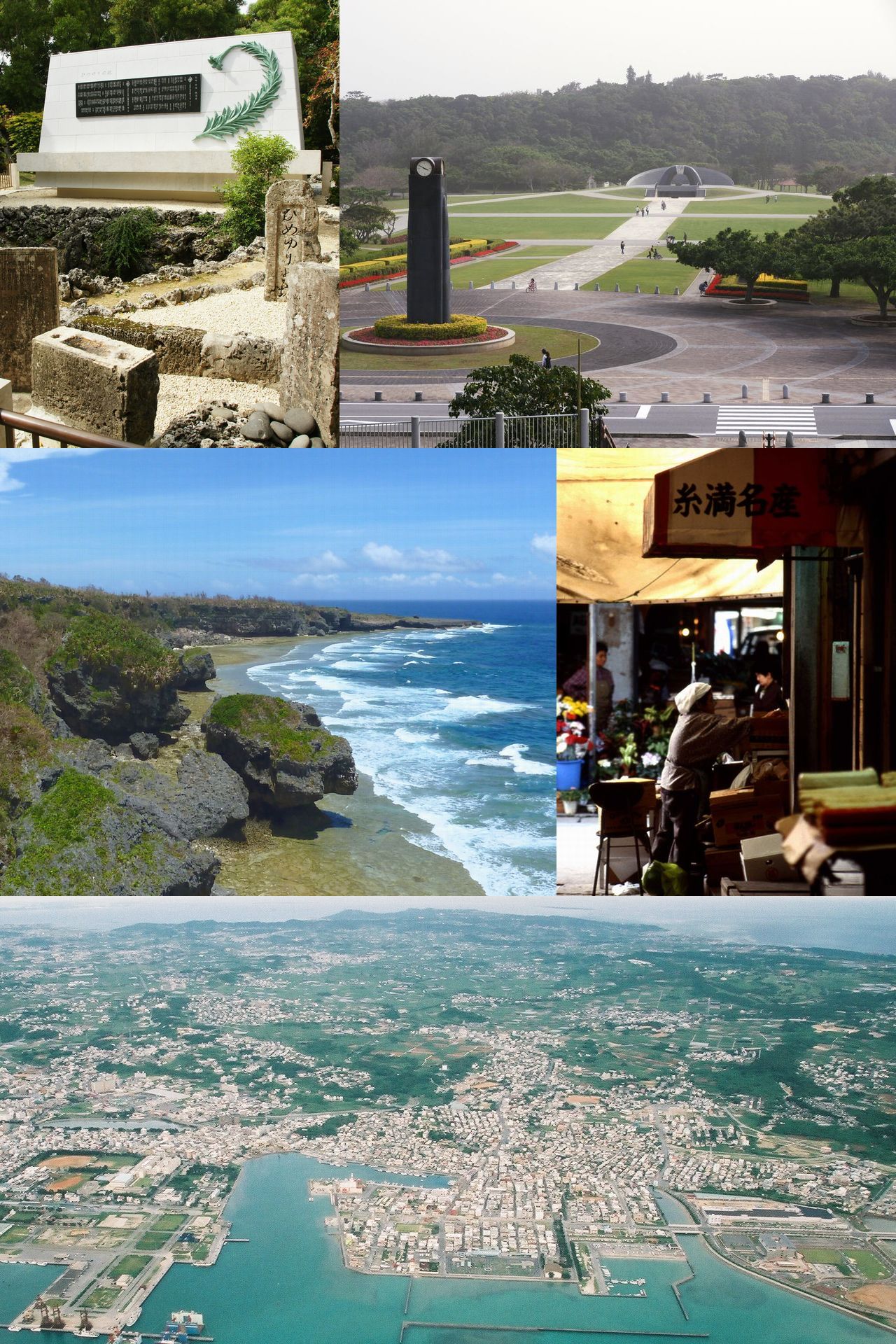
Hirara is a town in Okinawa, Japan, close to the sea. It has a population of about 34,354. The climate is classified as tropical rainforest (Köppen Af), with .

Now27°C
Best timeFeb–Mar · Nov
Population34,354
Local time00:02
24.80° N, 125.30° EElevation 31 mUTC+9 · Japan Standard Time
The year in Hiraraweather score
JanFebMarAprMayJunJulAugSepOctNovDec62October
October: high / low26° / 25°
Rain this month189mm
Sea this month27°
Best timeFeb–Mar · Nov

Best: Feb–Mar · Nov. Warmth, sunshine and dry days, month by month.

Hirara at a glance

Best time to visitFeb–Mar · Nov

The months with the highest weather score

Warmest month29°C

Average high in July

Coolest month18°C

Average low in January

Wettest monthMay

258 mm of rain

Driest monthJanuary

159 mm of rain

Warmest sea29°C

August

Monuments nearby2+

within 5.5 km

Weather in Hirara

Now and the next ten days. The 14 and 30-day outlooks are one click away.

14-day forecast
27°C

Rain · wind 69 km/h · humidity 89%

Today hour by hour
Today23 Oct27°26°110 mm
Sat24 Oct28°27°17.4 mm
Sun25 Oct28°27°0.7 mm
Mon26 Oct28°27°
Tue27 Oct26°26°1.1 mm
Wed28 Oct26°24°1.5 mm
Thu29 Oct26°25°2 mm
Fri30 Oct26°26°1.5 mm
Sat31 Oct26°25°12.7 mm

When to go to Hirara

Each month's weather score (warmth, sun, dry days) with its temperatures and rain.

Climate month by month
JanFebMarAprMayJunJulAugSepOctNovDec
Score596862625848474953626560
High20°20°22°23°26°27°29°29°28°26°24°21°
Low18°18°20°22°24°26°27°27°26°25°22°20°
Rain (mm)159173168203258227168329286189184160
Wet days13913142222202019141315
Sea23°23°23°24°26°28°29°29°28°27°26°24°

What's on in Hirara

Concerts, football matches, the public holidays ahead and the town's festivals through the year.

Monuments and museums in Hirara

All monuments

More museums: 恵子美術館 · Yukishio Salt Factory

Outdoors around Hirara

Hiking routes from the town, and what there is to do within 15 km: huts, viewpoints, climbing, camping, ski areas and dive sites.

Things to do
Miyakojima City Cultural Experience VillageTheme parks
1.3 km
Miyako Horse Riding ExperienceZoos
1.3 km
しろう農園ヤギふれあい牧場Zoos
7.7 km
Emerald Coast Golf LinksGolf courses
7.7 km
Ueno German Culture VillageTheme parks
8 km
屋外ジャングルプールHot springs & thermal baths
8.2 km
PipelineDive site
3.2 km
Dive site
8.6 km
シギラ ビーチハウスDive site
10 km
ハナダイの根Dive site
14 km

Nature around Hirara

Nature in Japan

Wildlife in October

The birds and mammals of Japan seen most this month, compared with the rest of their year.

The sky over Hirara

Eclipses and meteor showers

Earthquakes around Hirara

The last 30 days within 300 km, and the record since 1950.

Earthquakes

Strongest nearby since 1950

7.2Tarama 49 km ↖1958 · 100 km
6.3Tarama 68 km ↓1952 · 95 km
6.3Miyakojima 60 km ↓2010 · 61 km
6.3Hirara 103 km ↑2007 · 103 km

Tsunamis · Hirara

Tsunami archive
C5Typhoon Bavi (2026)74 km · 148 km/hC4Typhoon Mekkhala (2026)70 km · 94 km/hTSTropical Storm Jongdari (2024)78 km · 65 km/hC5Typhoon Mawar (2023)84 km · 83 km/hC5Typhoon Hinnamnor (2022)76 km · 157 km/hTSTropical Storm Omais (2021)33 km · 74 km/hC4Typhoon Lingling (2019)22 km · 213 km/hTSTropical Storm Yagi (2018)53 km · 74 km/hC5Typhoon Maria (2018)23 km · 185 km/hTSTropical Storm Gaemi (2018)78 km · 74 km/hTSTropical Storm of 13 June 2018 (2018)98 km · 65 km/hC5Typhoon Noul (2015)94 km · 130 km/hC5Typhoon Neoguri (2014)83 km · 204 km/hC2Typhoon Fitow (2013)64 km · 167 km/hC1Typhoon Trami (2013)92 km · 111 km/hTSTropical Storm Leepi (2013)54 km · 65 km/hTSTropical Storm Meari (2011)93 km · 93 km/hC5Typhoon Songda (2011)31 km · 167 km/hTSTropical Storm Dianmu (2010)56 km · 65 km/hC5Typhoon Saomai (2006)66 km · 259 km/hC4Typhoon Ewiniar (2006)87 km · 139 km/hC2Typhoon Rananim (2004)40 km · 167 km/hC3Typhoon Conson (2004)41 km · 185 km/hC5Typhoon Maemi (2003)23 km · 250 km/hTSTropical Storm Nakri (2002)45 km · 74 km/hC2Typhoon Noguri (2002)15 km · 148 km/hC2Typhoon Haiyan (2001)88 km · 167 km/hTSTropical Storm Cimaron (2001)60 km · 111 km/hC3Typhoon Yagi (2000)42 km · 194 km/hTSTropical Storm Bopha (2000)69 km · 93 km/hC1Typhoon Prapiroon (2000)64 km · 102 km/hC3Typhoon Zane (1996)46 km · 204 km/hC4Typhoon Fred (1994)88 km · 222 km/hC4Typhoon Mireille (1991)67 km · 213 km/hC2Typhoon Ellie (1991)33 km · 111 km/hTSTropical Storm Hope (1989)75 km · 93 km/hC1Typhoon Susan (1988)88 km · 102 km/hC4Typhoon Dinah (1987)83 km · 157 km/hC4Typhoon Thelma (1987)20 km · 167 km/hC2Typhoon Nelson (1985)61 km · 167 km/h

Fossil sites near this town

Fossil sites: 17 · 2 km

Fossils in Japan
Quaternary · 17

Formations around the town

Towns and villages around Hirara

Each with its own page: weather, climate and the best time to visit.

Hirara from above

Getting to Hirara

Miyako AirportMMY
2.4 km
Shimojishima AirportSHI
16 km
Tarama AirportTRA
66 km
平良佐良浜 · 多良間 · 長山
2.8 km
佐良浜平良
9.7 km

Places near Hirara

Places with a climate like Hirara

Matched month by month on temperature, rain and sunshine.

Frequently asked questions

When is the best time to visit Hirara?
Based on 30-year climate normals, February, March and November offer the best balance of comfortable temperatures, low rainfall and sunshine in Hirara.
What is the hottest month in Hirara?
July is the warmest month, with average highs of 29°C and lows of 27°C.
What is the coldest month in Hirara?
January is the coldest month, with average highs of 20°C and lows of 18°C.
What is the rainiest month in Hirara?
May is the wettest month with about 258 mm of precipitation on 22 wet days.
How warm is the sea near Hirara?
The sea is warmest in August at about 29°C and coolest in February at about 23°C.