Nature
Waters, ice and wild places of Uganda
Lakes, waterfalls, glaciers, national parks and mountain huts, each with its location, its size and the weather of the towns around it.
Lakes20with a page
Waterfalls13with a page
Glaciers2with a page
National parks7with a page

Lakes
Lakes of Uganda


Waterfalls
Waterfalls of Uganda


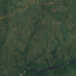
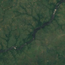
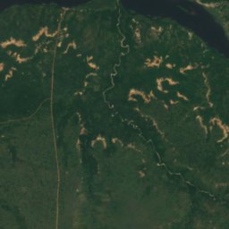
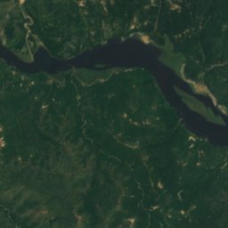
Satellite: Sentinel-2 cloudless 2016 by EOX IT Services GmbH · CC BY 4.0 · Contains modified Copernicus Sentinel data 2016
Murchison Falls
Pakwach, Northern Region
43 m drop
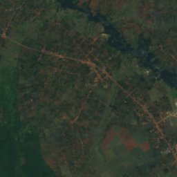
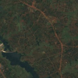
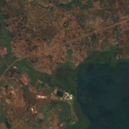
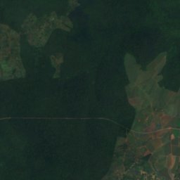
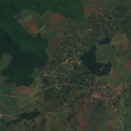
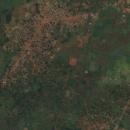
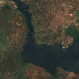
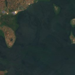
Satellite: Sentinel-2 cloudless 2016 by EOX IT Services GmbH · CC BY 4.0 · Contains modified Copernicus Sentinel data 2016
Owen Falls
Njeru, Central Region
Glaciers
Glaciers of Uganda
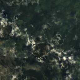
Satellite: Sentinel-2 cloudless 2016 by EOX IT Services GmbH · CC BY 4.0 · Contains modified Copernicus Sentinel data 2016
Thompson Glacier
Kilembe, Western Region
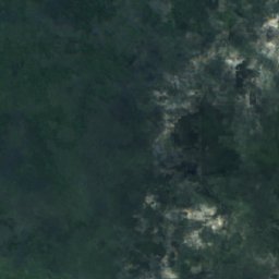
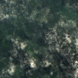
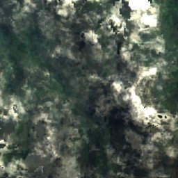
Satellite: Sentinel-2 cloudless 2016 by EOX IT Services GmbH · CC BY 4.0 · Contains modified Copernicus Sentinel data 2016
Spele Glacier
Kilembe, Western Region
National parks
National parks of Uganda

Photo: Rweinkove at English Wikipedia · CC BY-SA 3.0 · Wikimedia CommonsReport this photo · linked, not stored
Queen Elizabeth National Park
Rubirizi, Western Region
1,978 km²


Mountain huts
Mountain huts of Uganda

Beaches
Beaches of Uganda
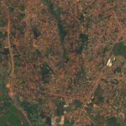
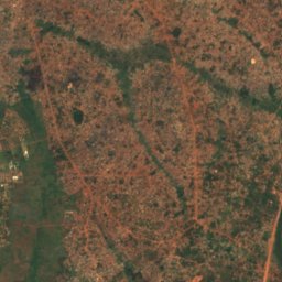
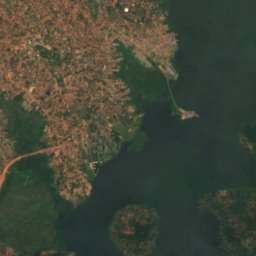
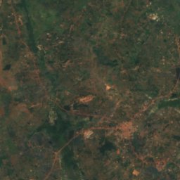
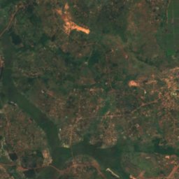
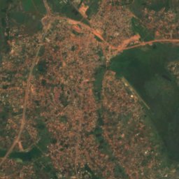
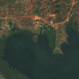
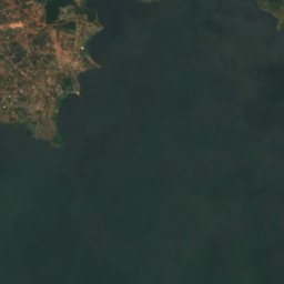
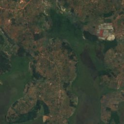
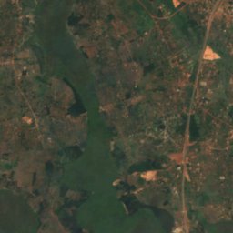
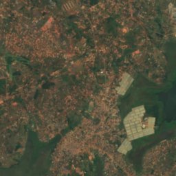
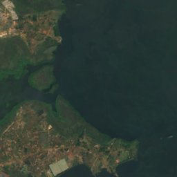
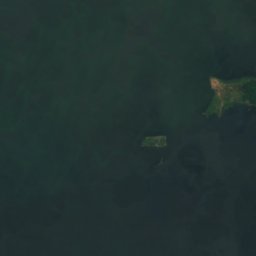
Satellite: Sentinel-2 cloudless 2016 by EOX IT Services GmbH · CC BY 4.0 · Contains modified Copernicus Sentinel data 2016
Lutembe Beach
Kajansi, Central Region
1,133 m
Islands
Islands of Uganda

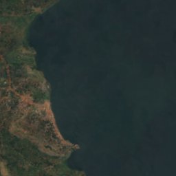
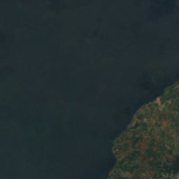
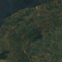
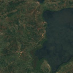
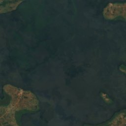
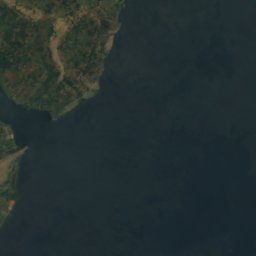
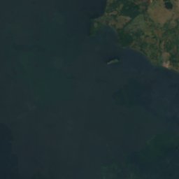
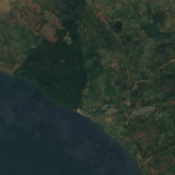
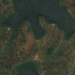
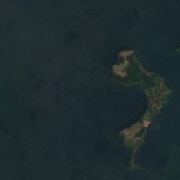
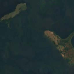
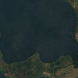
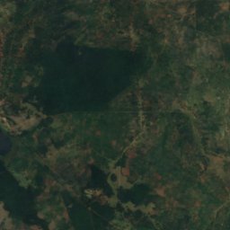
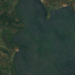
Satellite: Sentinel-2 cloudless 2016 by EOX IT Services GmbH · CC BY 4.0 · Contains modified Copernicus Sentinel data 2016
Buvuma Island
Jinja, Eastern Region
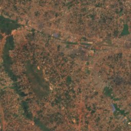
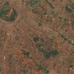
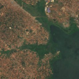
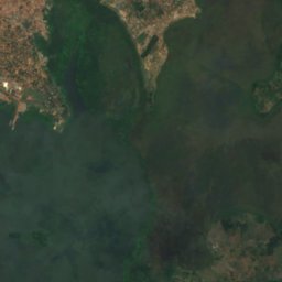
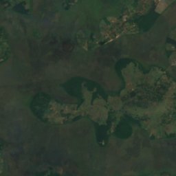
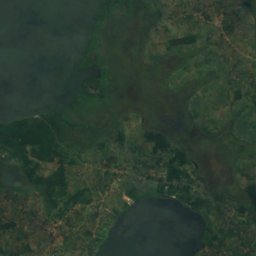
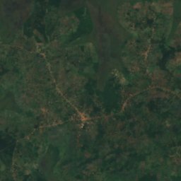
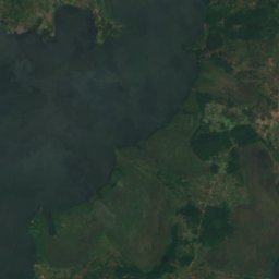
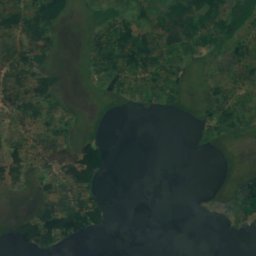
Satellite: Sentinel-2 cloudless 2016 by EOX IT Services GmbH · CC BY 4.0 · Contains modified Copernicus Sentinel data 2016
Bulingugwe Island
Bunamwaya, Central Region
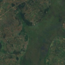
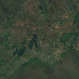
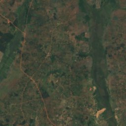
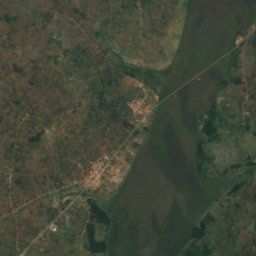
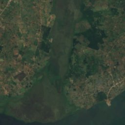
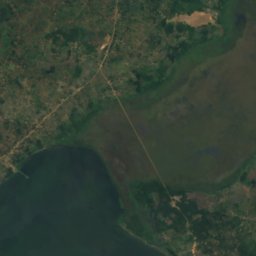
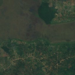
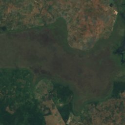
Satellite: Sentinel-2 cloudless 2016 by EOX IT Services GmbH · CC BY 4.0 · Contains modified Copernicus Sentinel data 2016
Bunjako Island
Gombe, Central Region
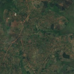
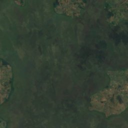
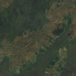
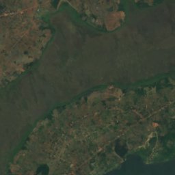
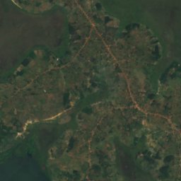
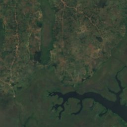
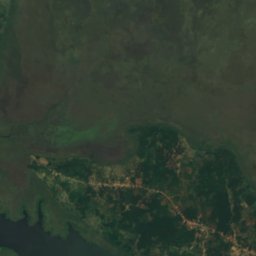
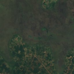
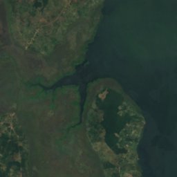
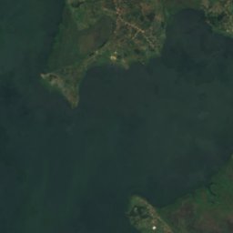
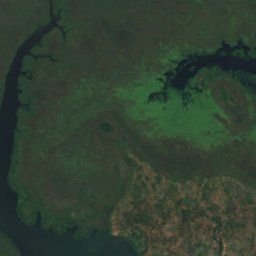
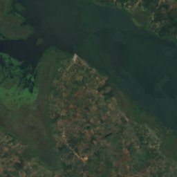
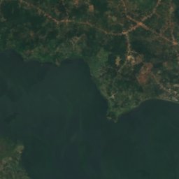
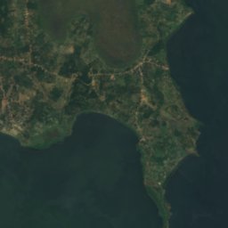
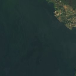
Satellite: Sentinel-2 cloudless 2016 by EOX IT Services GmbH · CC BY 4.0 · Contains modified Copernicus Sentinel data 2016
Bussi Island
Entebbe, Central Region
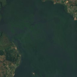
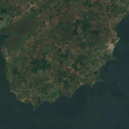
Satellite: Sentinel-2 cloudless 2016 by EOX IT Services GmbH · CC BY 4.0 · Contains modified Copernicus Sentinel data 2016
Zinga Island
Mpigi, Central Region
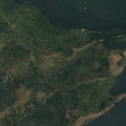
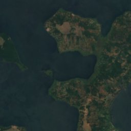
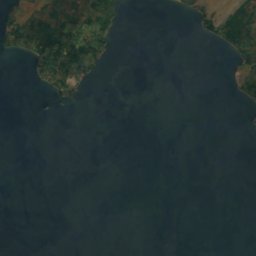
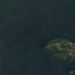
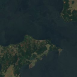
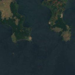


Satellite: Sentinel-2 cloudless 2016 by EOX IT Services GmbH · CC BY 4.0 · Contains modified Copernicus Sentinel data 2016
Buziri Island
Buikwe, Central Region

Satellite: Sentinel-2 cloudless 2016 by EOX IT Services GmbH · CC BY 4.0 · Contains modified Copernicus Sentinel data 2016
Bwema Island
Buikwe, Central Region
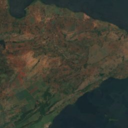
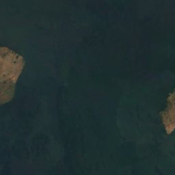
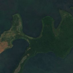
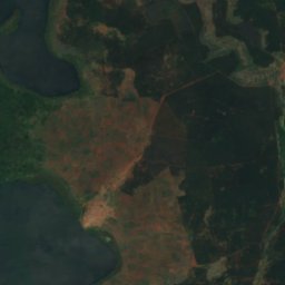
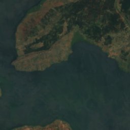
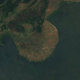
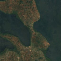
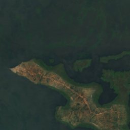
Satellite: Sentinel-2 cloudless 2016 by EOX IT Services GmbH · CC BY 4.0 · Contains modified Copernicus Sentinel data 2016
Lingira Island
Jinja, Eastern Region
All 69 islands
- Agirigiryoi Island
- Akampene Island
- Akika Island
- Bagwe Island
- Buiga Island
- Bukwaya Island
- Bulago Island
- Bulanku Island
- Bulga Island
- Bulinguge Island
- Bulingugwe Island
- Bunjako Island
- Bushara Island
- Bussi Island
- Buvuma Island
- Buziranjovu Island
- Buziri Island
- Bwema Island
- Ikunyu Island
- Irangara Island
- Itambira Island
- Izinga Island, Western Region
- Kabaganja Island
- Kabazimu Island
- Kabulataka Island
- Kaivali Island
- Kamuge Island
- Kamutenga Island
- Kankuranga Island
- Kibibi Island
- Kimi Island
- Kiraza Island
- Kisima Island
- Kisiro Island
- Kitako Island
- Lingira Island
- Lulanda Island
- Lunkulu Island
- Makusu Island
- Masovwi Island
- Mayinja Island
- Mbirubuziba Island
- Mpata Island
- Mpuga Island
- Mpuni Island
- Namalusu Island
- Namama Island
- Namasimbi Island
- Nfo Island
- Ngamba Island
- Nkusa Island, Central Region
- Nkuzi Island
- Nsadzi Island
- Nsenyi Island
- Nsonga Island
- Nyenda Island
- Nziribanje Island
- Ramafuta Island
- Samoka Island
- Sanga Island, Central Region
- Sikanki Island
- Sindiro Island
- Sira Island
- Sowe Island
- Tavu Island
- Wabitembe Island
- Zigunga Twins
- Zigwe Island
- Zinga Island
Rivers
Rivers of Uganda


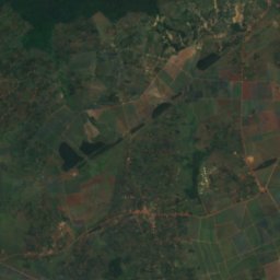
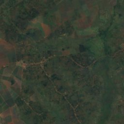
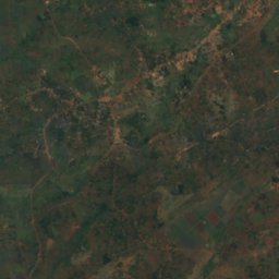
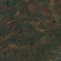
Satellite: Sentinel-2 cloudless 2016 by EOX IT Services GmbH · CC BY 4.0 · Contains modified Copernicus Sentinel data 2016
White Nile
Jinja, Eastern Region
350 m
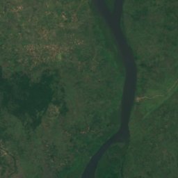
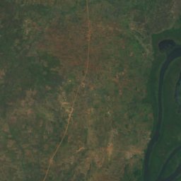
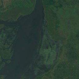
Satellite: Sentinel-2 cloudless 2016 by EOX IT Services GmbH · CC BY 4.0 · Contains modified Copernicus Sentinel data 2016
Ora River
Pakwach, Northern Region
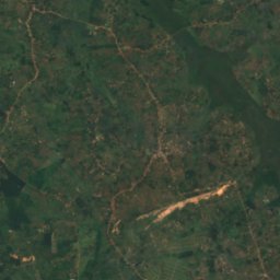
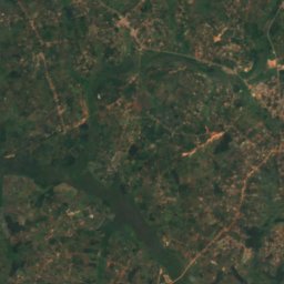
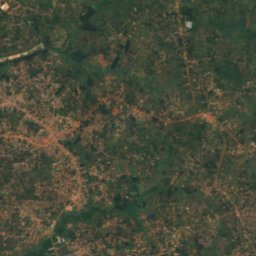
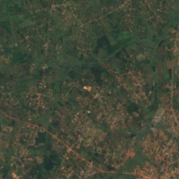
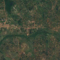
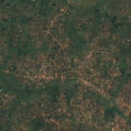
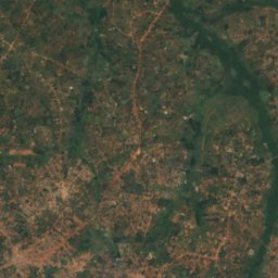
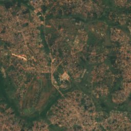
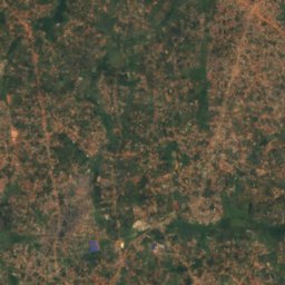
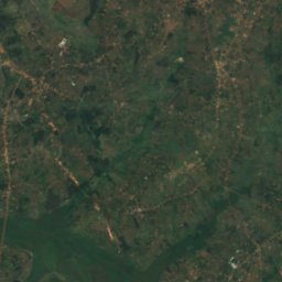
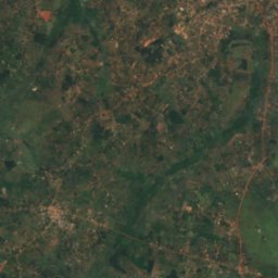
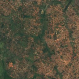
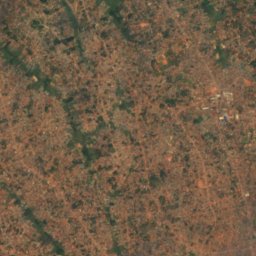
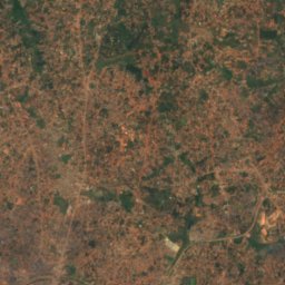
Satellite: Sentinel-2 cloudless 2016 by EOX IT Services GmbH · CC BY 4.0 · Contains modified Copernicus Sentinel data 2016
Lwajjali River
Nansana, Central Region
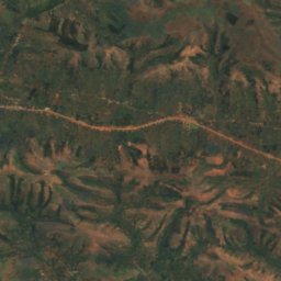
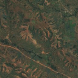
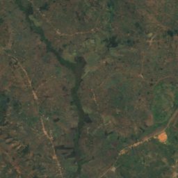
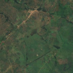
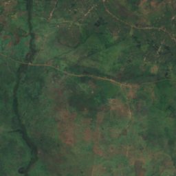
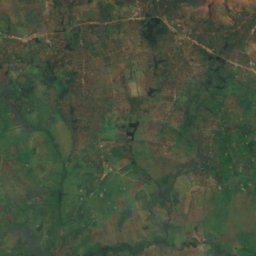
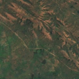
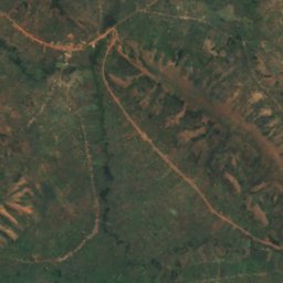
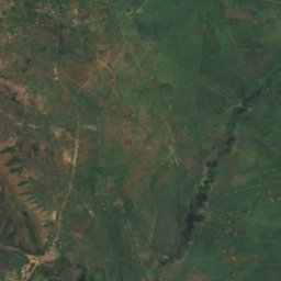
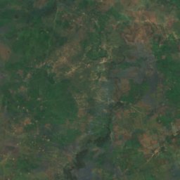
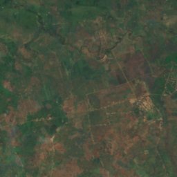
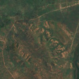
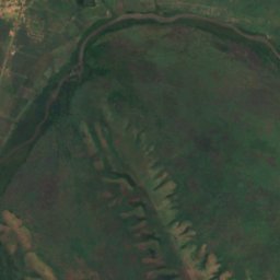
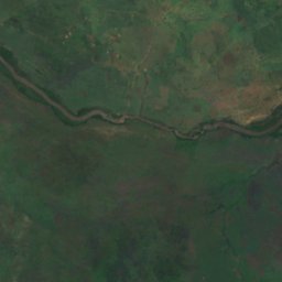
Satellite: Sentinel-2 cloudless 2016 by EOX IT Services GmbH · CC BY 4.0 · Contains modified Copernicus Sentinel data 2016
Kagitumba river
Mabare, Western Region
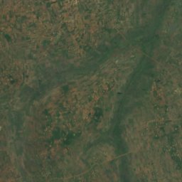
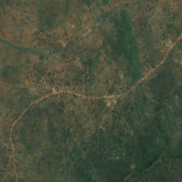
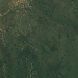
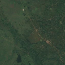
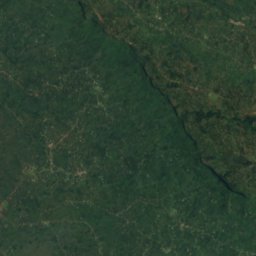


Satellite: Sentinel-2 cloudless 2016 by EOX IT Services GmbH · CC BY 4.0 · Contains modified Copernicus Sentinel data 2016
River Sironko
Mbale, Eastern Region