Nature
Eaux, glaces et grands espaces d'Ouganda
Lacs, cascades, glaciers, parcs nationaux et refuges de montagne, chacun avec sa situation, sa taille et la météo des localités voisines.
Lacs20ayant leur page
Cascades13ayant leur page
Glaciers2ayant leur page
Parcs nationaux7ayant leur page

Photo : NASA · Public domain · Wikimedia CommonsSignaler cette photo · affichée par lien, non copiée
Lacs
Lacs d'Ouganda
Photo : NASA · Public domain · Wikimedia CommonsSignaler cette photo · affichée par lien, non copiée
Lac George
Kasese, Western Region
250 km²

Photo : Carine06 from UK · CC BY-SA 2.0 · Wikimedia CommonsSignaler cette photo · affichée par lien, non copiée
Lac Bunyonyi
Kabale, Western Region
60 km²

Photo : Travel Local · CC BY 2.0 · Wikimedia CommonsSignaler cette photo · affichée par lien, non copiée
Ennyanja Mutanda
Kisoro, Western Region
29 km²

Photo : SharonDawn · CC BY-SA 4.0 · Wikimedia CommonsSignaler cette photo · affichée par lien, non copiée
Ennyanja Nabugabo
Masaka, Central Region
35 km²

Photo : Bruno ashimwe winks · CC BY-SA 4.0 · Wikimedia CommonsSignaler cette photo · affichée par lien, non copiée
Lake Mulehe
Kisoro, Western Region
4,1 km²

Photo : Albert Backer · CC BY-SA 4.0 · Wikimedia CommonsSignaler cette photo · affichée par lien, non copiée
Ennyanja Bujuku
Kilembe, Western Region
3 963 m

Photo : Jim Joel · CC BY-SA 4.0 · Wikimedia CommonsSignaler cette photo · affichée par lien, non copiée
Ennyanja Nkugute
Rubirizi, Western Region

Photo : Bukulu Steven · CC BY-SA 4.0 · Wikimedia CommonsSignaler cette photo · affichée par lien, non copiée
Ennyanja Saka
Fort Portal, Western Region

Photo : Jim Joel · CC BY-SA 4.0 · Wikimedia CommonsSignaler cette photo · affichée par lien, non copiée
Lake Bunyampaka
Kasese, Western Region
Cascades
Cascades d'Ouganda

Photo : Quack3142 · CC BY-SA 3.0 · Wikimedia CommonsSignaler cette photo · affichée par lien, non copiée
Sipi Falls
Kapchorwa, Eastern Region

Photo : Avenue · CC BY-SA 3.0 · Wikimedia CommonsSignaler cette photo · affichée par lien, non copiée
Itanda Falls
Kayunga, Central Region

Photo : Jaiksana Soro · CC BY-SA 4.0 · Wikimedia CommonsSignaler cette photo · affichée par lien, non copiée
Miriadua waterfalls
Arua, Northern Region

Photo : Jim Joel · CC BY-SA 4.0 · Wikimedia CommonsSignaler cette photo · affichée par lien, non copiée
Kisiizi Falls
Rukungiri, Western Region
30 m de chute

Photo : Random clicks 2910 · CC BY-SA 4.0 · Wikimedia CommonsSignaler cette photo · affichée par lien, non copiée
Sisiyi Falls
Kapchorwa, Eastern Region
100 m de chute

Photo : Sandra Aceng · CC BY-SA 4.0 · Wikimedia CommonsSignaler cette photo · affichée par lien, non copiée
Nyakasura Falls
Fort Portal, Western Region

Photo : Dixon099 · CC BY-SA 4.0 · Wikimedia CommonsSignaler cette photo · affichée par lien, non copiée
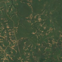
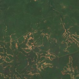
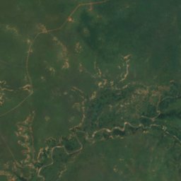
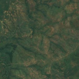
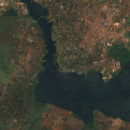
Ssezibwa Falls
Mukono, Central Region
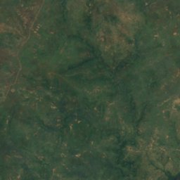
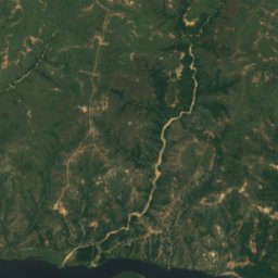
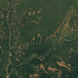
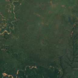
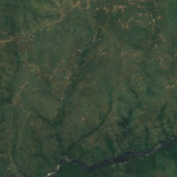
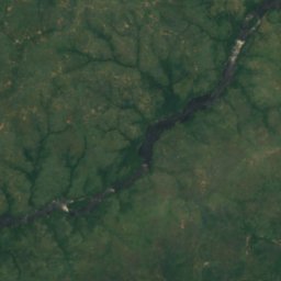
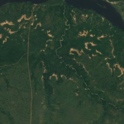
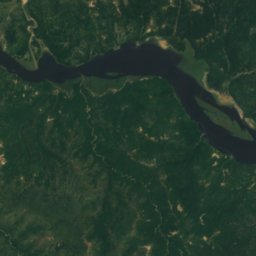
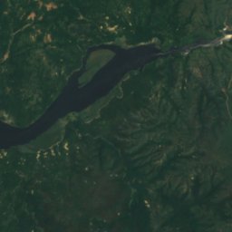
Satellite : Sentinel-2 cloudless 2016 par EOX IT Services GmbH · CC BY 4.0 · Contient des données Copernicus Sentinel modifiées (2016)
Chutes Murchison
Pakwach, Northern Region
43 m de chute
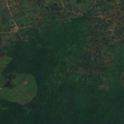
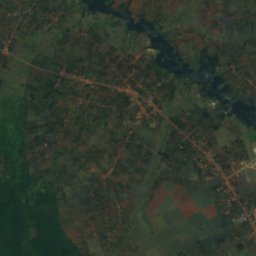
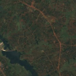
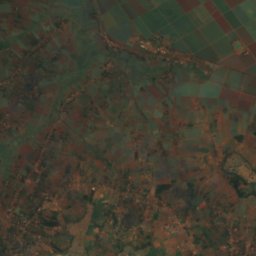
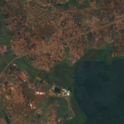
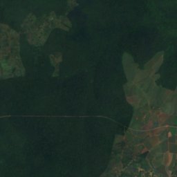
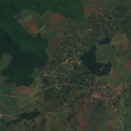
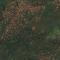
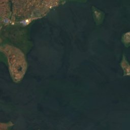
Satellite : Sentinel-2 cloudless 2016 par EOX IT Services GmbH · CC BY 4.0 · Contient des données Copernicus Sentinel modifiées (2016)
Chutes Owen
Njeru, Central Region
Glaciers
Glaciers d'Ouganda
Satellite : Sentinel-2 cloudless 2016 par EOX IT Services GmbH · CC BY 4.0 · Contient des données Copernicus Sentinel modifiées (2016)
Thompson Glacier
Kilembe, Western Region
Satellite : Sentinel-2 cloudless 2016 par EOX IT Services GmbH · CC BY 4.0 · Contient des données Copernicus Sentinel modifiées (2016)
Spele Glacier
Kilembe, Western Region
Parcs nationaux
Parcs nationaux d'Ouganda

Photo : Rweinkove at English Wikipedia · CC BY-SA 3.0 · Wikimedia CommonsSignaler cette photo · affichée par lien, non copiée
Parc national Queen Elizabeth
Rubirizi, Western Region
1 978 km²

Photo : Manuel Werner · CC BY-SA 2.5 · Wikimedia CommonsSignaler cette photo · affichée par lien, non copiée
Parc national Rwenzori Mountains
Kilembe, Western Region
996 km²

Photo : Unknown author · CC BY-SA 3.0 · Wikimedia CommonsSignaler cette photo · affichée par lien, non copiée
Forêt impénétrable de Bwindi
Kanungu, Western Region
331 km²

Photo : Josefito123 · CC BY-SA 4.0 · Wikimedia CommonsSignaler cette photo · affichée par lien, non copiée
Parc national de Kibale
Kibiito, Western Region
776 km²

Photo : Jim Joel · CC BY-SA 4.0 · Wikimedia CommonsSignaler cette photo · affichée par lien, non copiée
Parc national de Semuliki
Bundibugyo, Western Region
220 km²

Photo : Dylan Walters · CC BY 2.0 · Wikimedia CommonsSignaler cette photo · affichée par lien, non copiée
Parc national des gorilles de Mgahinga
Kisoro, Western Region
34 km²

Photo : Jim Joel · CC BY-SA 4.0 · Wikimedia CommonsSignaler cette photo · affichée par lien, non copiée
Ekkuumiro ly’ebisolo mery’kyabura
Rubirizi, Western Region
156 km²
Refuges de montagne
Refuges de montagne d'Ouganda

Photo : Jan Markiewicz · CC BY-SA 3.0 · Wikimedia CommonsSignaler cette photo · affichée par lien, non copiée
Bujuku Hut
Kilembe, Western Region
Plages
Plages d'Ouganda
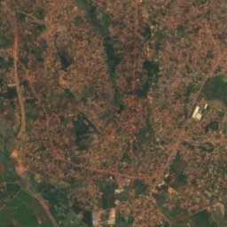
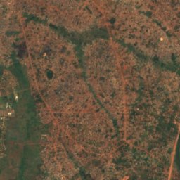
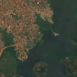
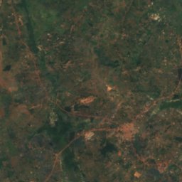
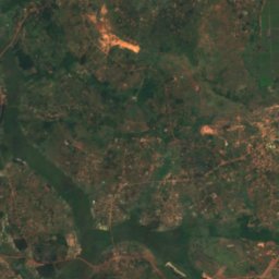
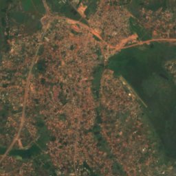
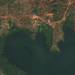
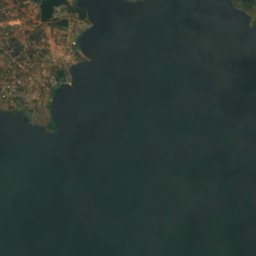
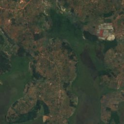
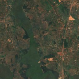
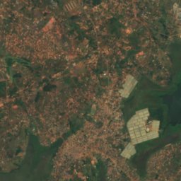
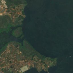
Satellite : Sentinel-2 cloudless 2016 par EOX IT Services GmbH · CC BY 4.0 · Contient des données Copernicus Sentinel modifiées (2016)
Lutembe Beach
Kajansi, Central Region
1 133 m
Îles
Îles d'Ouganda

Photo : BalukuBrian · CC BY-SA 4.0 · Wikimedia CommonsSignaler cette photo · affichée par lien, non copiée
Akampene Island
Kabale, Western Region
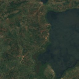
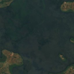
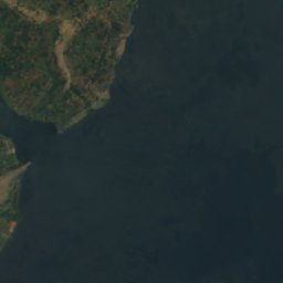
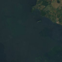
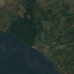
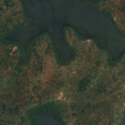
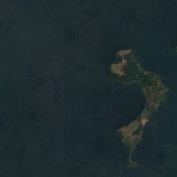
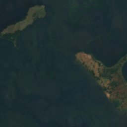
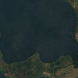
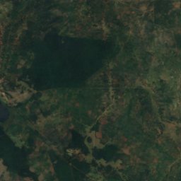
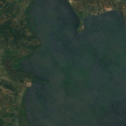
Satellite : Sentinel-2 cloudless 2016 par EOX IT Services GmbH · CC BY 4.0 · Contient des données Copernicus Sentinel modifiées (2016)
Buvuma Island
Jinja, Eastern Region
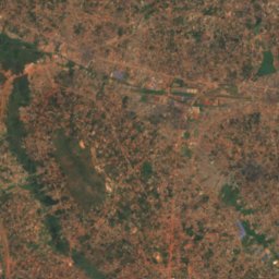
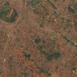
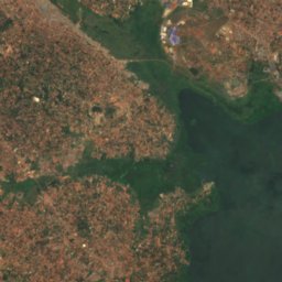
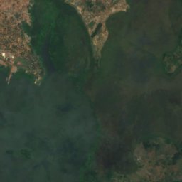
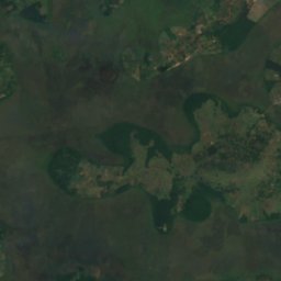
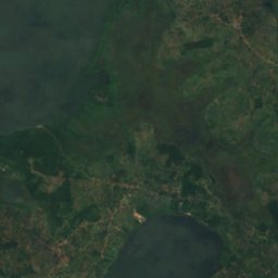
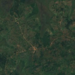
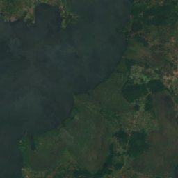
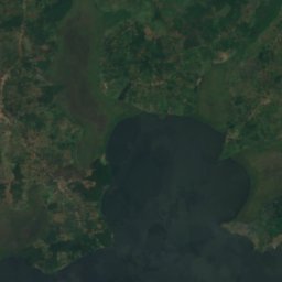
Satellite : Sentinel-2 cloudless 2016 par EOX IT Services GmbH · CC BY 4.0 · Contient des données Copernicus Sentinel modifiées (2016)
Bulingugwe Island
Bunamwaya, Central Region
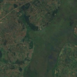
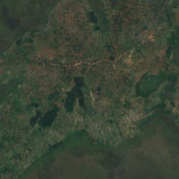
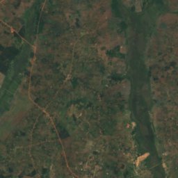
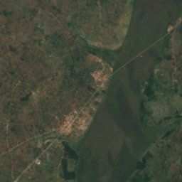
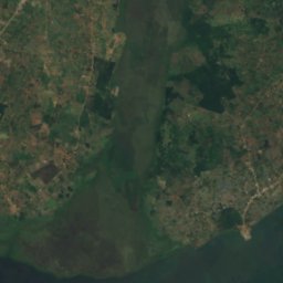
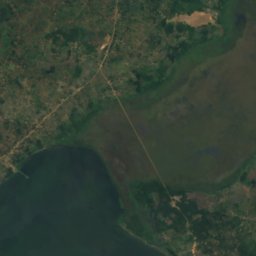
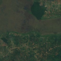
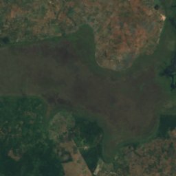
Satellite : Sentinel-2 cloudless 2016 par EOX IT Services GmbH · CC BY 4.0 · Contient des données Copernicus Sentinel modifiées (2016)
Kisiwa cha Bunjako
Gombe, Central Region
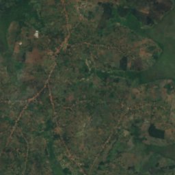
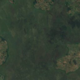
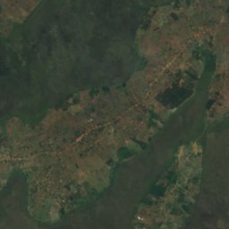
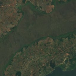
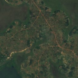
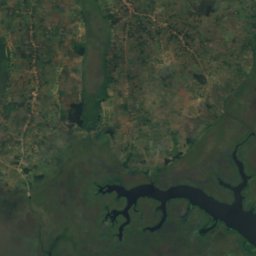
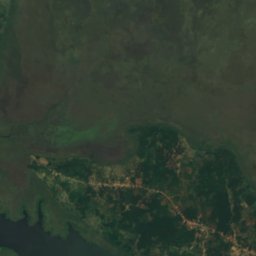
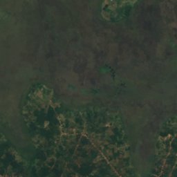
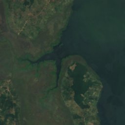
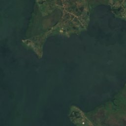
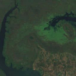
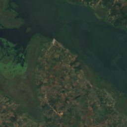
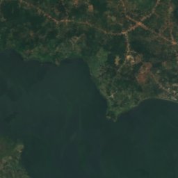
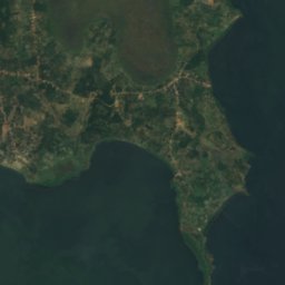
Satellite : Sentinel-2 cloudless 2016 par EOX IT Services GmbH · CC BY 4.0 · Contient des données Copernicus Sentinel modifiées (2016)
Kisiwa cha Bussi
Entebbe, Central Region
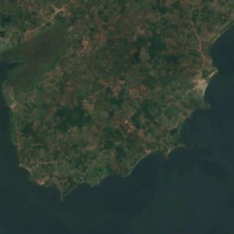
Satellite : Sentinel-2 cloudless 2016 par EOX IT Services GmbH · CC BY 4.0 · Contient des données Copernicus Sentinel modifiées (2016)
Kisiwa cha Zinga
Mpigi, Central Region
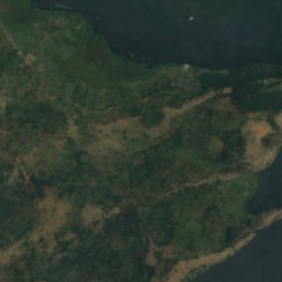
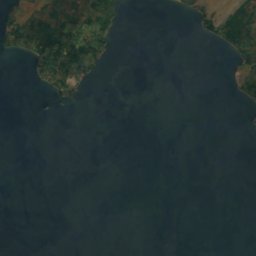
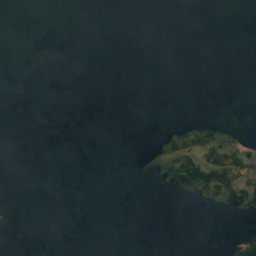
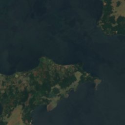
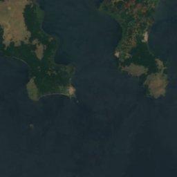


Satellite : Sentinel-2 cloudless 2016 par EOX IT Services GmbH · CC BY 4.0 · Contient des données Copernicus Sentinel modifiées (2016)
Kisiwa cha Buziri
Buikwe, Central Region
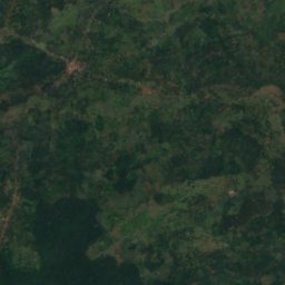
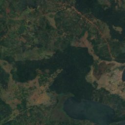
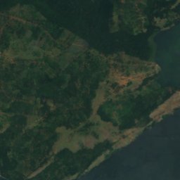
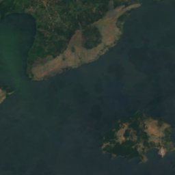

Satellite : Sentinel-2 cloudless 2016 par EOX IT Services GmbH · CC BY 4.0 · Contient des données Copernicus Sentinel modifiées (2016)
Kisiwa cha Bwema
Buikwe, Central Region
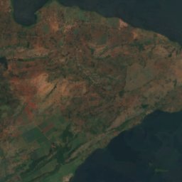
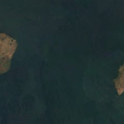
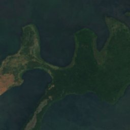
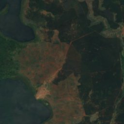
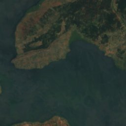
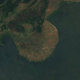
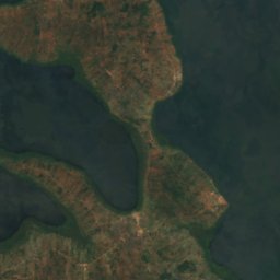
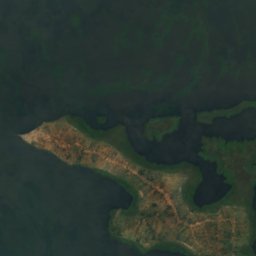
Satellite : Sentinel-2 cloudless 2016 par EOX IT Services GmbH · CC BY 4.0 · Contient des données Copernicus Sentinel modifiées (2016)
Île Lingira
Jinja, Eastern Region
Les 69 îles
- Akampene Island
- Bulingugwe Island
- Bushara Island
- Buvuma Island
- Île Lingira
- Itambira Island
- Kisiwa cha Agirigiryoi
- Kisiwa cha Akika
- Kisiwa cha Bagwe
- Kisiwa cha Buiga, Gombe
- Kisiwa cha Buiga, Mpigi
- Kisiwa cha Bukwaya
- Kisiwa cha Bulago
- Kisiwa cha Bulanku
- Kisiwa cha Bulingugwe
- Kisiwa cha Bunjako
- Kisiwa cha Bussi
- Kisiwa cha Buziranjovu
- Kisiwa cha Buziri
- Kisiwa cha Bwema
- Kisiwa cha Ikunyu
- Kisiwa cha Irangara
- Kisiwa cha Izinga, Western Region
- Kisiwa cha Kabaganja
- Kisiwa cha Kabazimu
- Kisiwa cha Kabulataka
- Kisiwa cha Kaivali
- Kisiwa cha Kamuge
- Kisiwa cha Kamutenga
- Kisiwa cha Kankuranga
- Kisiwa cha Kibibi
- Kisiwa cha Kimi
- Kisiwa cha Kiraza
- Kisiwa cha Kisima
- Kisiwa cha Kisiro
- Kisiwa cha Kitako
- Kisiwa cha Lulanda
- Kisiwa cha Lunkulu
- Kisiwa cha Masovwi
- Kisiwa cha Mayinja
- Kisiwa cha Mbirubuziba
- Kisiwa cha Mpata
- Kisiwa cha Mpuga
- Kisiwa cha Mpuni
- Kisiwa cha Namalusu
- Kisiwa cha Namama
- Kisiwa cha Namasimbi
- Kisiwa cha Nfo
- Kisiwa cha Ngamba
- Kisiwa cha Nkusa
- Kisiwa cha Nkuzi
- Kisiwa cha Nsadzi
- Kisiwa cha Nsenyi
- Kisiwa cha Nsonga
- Kisiwa cha Nyenda
- Kisiwa cha Nziribanje
- Kisiwa cha Ramafuta
- Kisiwa cha Samoka
- Kisiwa cha Sanga, Central Region
- Kisiwa cha Sikanki
- Kisiwa cha Sindiro
- Kisiwa cha Sira
- Kisiwa cha Sowe
- Kisiwa cha Tavu
- Kisiwa cha Wabitembe
- Kisiwa cha Zigwe
- Kisiwa cha Zinga
- Makusu Island
- Visiwa pacha vya Zigunga
Rivières et fleuves
Rivières et fleuves d'Ouganda

Photo : Duncan Wright · CC BY-SA 3.0 · Wikimedia CommonsSignaler cette photo · affichée par lien, non copiée
Canal de Kazinga
Rubirizi, Western Region

Photo : BalukuBrian · CC BY-SA 4.0 · Wikimedia CommonsSignaler cette photo · affichée par lien, non copiée
Mto Ruizi
Mbarara, Western Region

Photo : Sandra Aceng · CC BY-SA 4.0 · Wikimedia CommonsSignaler cette photo · affichée par lien, non copiée
River Manafwa
Mbale, Eastern Region

Photo : Vincent Mugaba · CC BY-SA 4.0 · Wikimedia CommonsSignaler cette photo · affichée par lien, non copiée
River Bujuku
Kilembe, Western Region
3 962 m
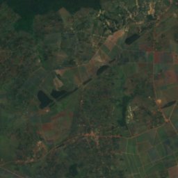
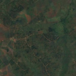
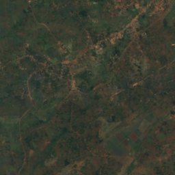
Satellite : Sentinel-2 cloudless 2016 par EOX IT Services GmbH · CC BY 4.0 · Contient des données Copernicus Sentinel modifiées (2016)
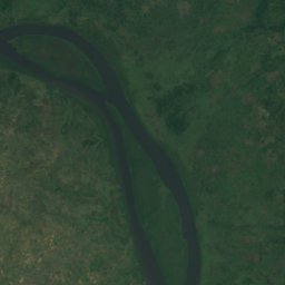
Nil Blanc
Jinja, Eastern Region
350 m
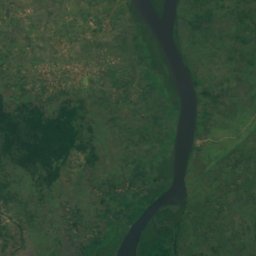
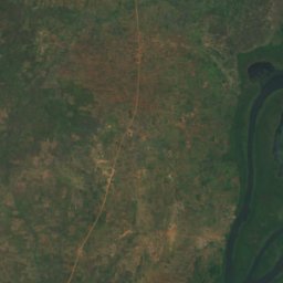
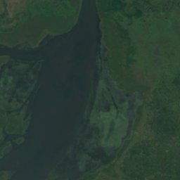
Satellite : Sentinel-2 cloudless 2016 par EOX IT Services GmbH · CC BY 4.0 · Contient des données Copernicus Sentinel modifiées (2016)
Omugga Ora
Pakwach, Northern Region
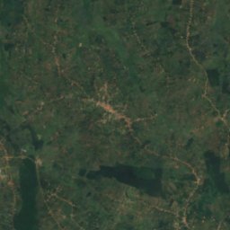
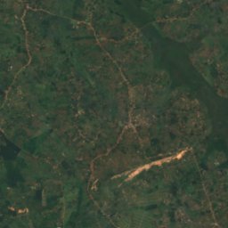
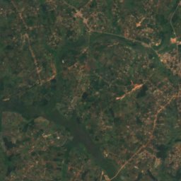
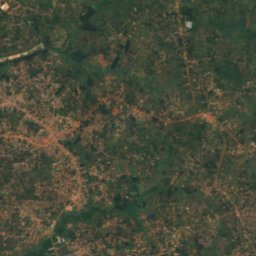
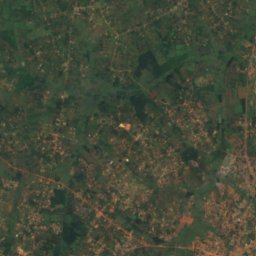
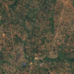
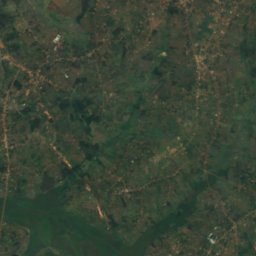
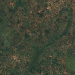
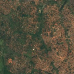
Satellite : Sentinel-2 cloudless 2016 par EOX IT Services GmbH · CC BY 4.0 · Contient des données Copernicus Sentinel modifiées (2016)
Mto Lwajjali
Nansana, Central Region
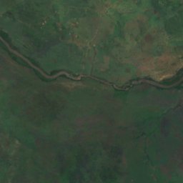
Satellite : Sentinel-2 cloudless 2016 par EOX IT Services GmbH · CC BY 4.0 · Contient des données Copernicus Sentinel modifiées (2016)
Kagitumba river
Mabare, Western Region


Satellite : Sentinel-2 cloudless 2016 par EOX IT Services GmbH · CC BY 4.0 · Contient des données Copernicus Sentinel modifiées (2016)
River Sironko
Mbale, Eastern Region