الطبيعة
المياه والأنهار الجليدية والبرية في أوغندا
البحيرات والشلالات والأنهار الجليدية والحدائق الوطنية والمآوي الجبلية، لكل منها موقعه وحجمه والطقس في جواره.
البحيرات20لكل منها صفحتها
الشلالات13لكل منها صفحتها
الأنهار الجليدية2لكل منها صفحتها
الحدائق الوطنية7لكل منها صفحتها

البحيرات
البحيرات في أوغندا


الصورة: Bruno ashimwe winks · CC BY-SA 4.0 · Wikimedia Commonsأبلغ عن هذه الصورة · بالرابط، دون تخزين
Lake Mulehe
Kisoro, Western Region
4.1 km²


الشلالات
الشلالات في أوغندا


الصورة: Random clicks 2910 · CC BY-SA 4.0 · Wikimedia Commonsأبلغ عن هذه الصورة · بالرابط، دون تخزين
Sisiyi Falls
Kapchorwa, Eastern Region
ارتفاع السقوط 100 م


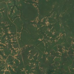
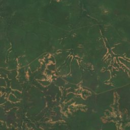
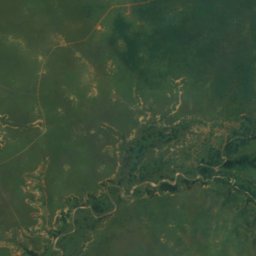
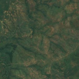
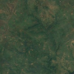
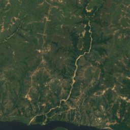
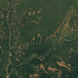
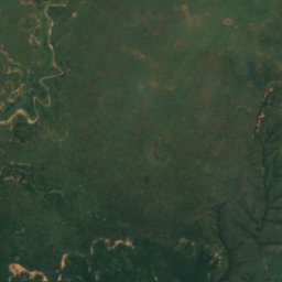
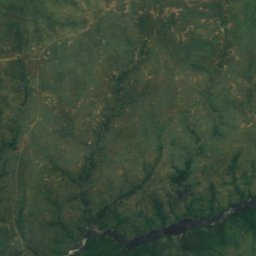
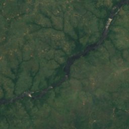
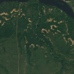
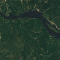
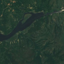
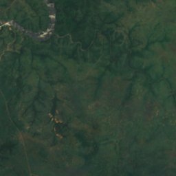
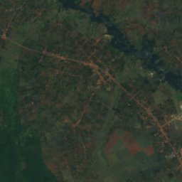
القمر الصناعي: Sentinel-2 cloudless 2016 من EOX IT Services GmbH · CC BY 4.0 · يتضمن بيانات Copernicus Sentinel (2016) معدّلة
شلالات مورشيسون
Pakwach, Northern Region
ارتفاع السقوط 43 م
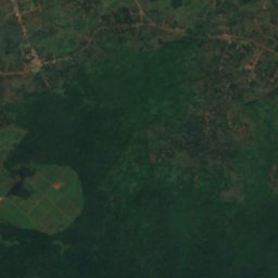
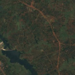
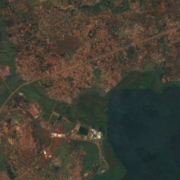
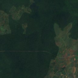
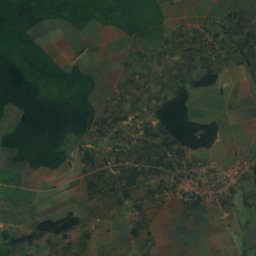
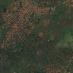
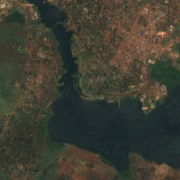
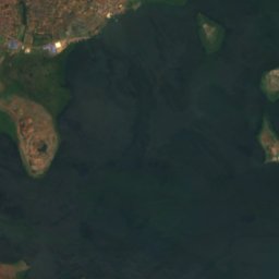
القمر الصناعي: Sentinel-2 cloudless 2016 من EOX IT Services GmbH · CC BY 4.0 · يتضمن بيانات Copernicus Sentinel (2016) معدّلة
Owen Falls
Njeru, Central Region
الأنهار الجليدية
الأنهار الجليدية في أوغندا
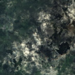
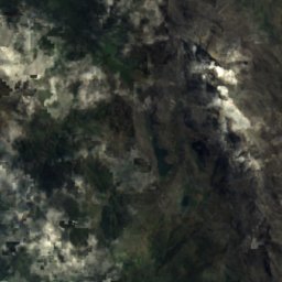
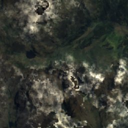
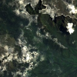
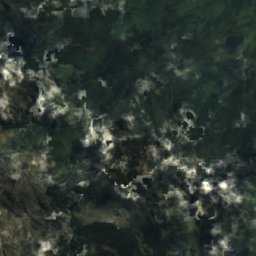
القمر الصناعي: Sentinel-2 cloudless 2016 من EOX IT Services GmbH · CC BY 4.0 · يتضمن بيانات Copernicus Sentinel (2016) معدّلة
Thompson Glacier
Kilembe, Western Region
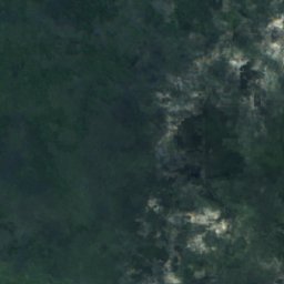
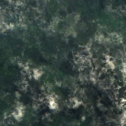
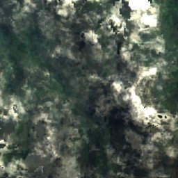
القمر الصناعي: Sentinel-2 cloudless 2016 من EOX IT Services GmbH · CC BY 4.0 · يتضمن بيانات Copernicus Sentinel (2016) معدّلة
Spele Glacier
Kilembe, Western Region
الحدائق الوطنية
الحدائق الوطنية في أوغندا

الصورة: Rweinkove at English Wikipedia · CC BY-SA 3.0 · Wikimedia Commonsأبلغ عن هذه الصورة · بالرابط، دون تخزين
Queen Elizabeth National Park
Rubirizi, Western Region
1,978 km²


المآوي الجبلية
المآوي الجبلية في أوغندا

الشواطئ
الشواطئ في أوغندا
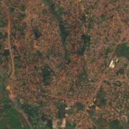
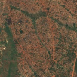
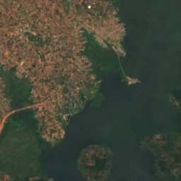
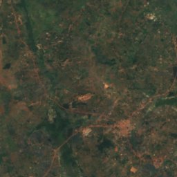
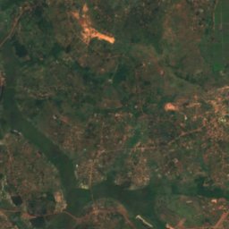
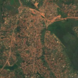
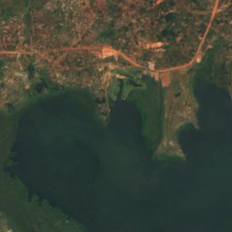
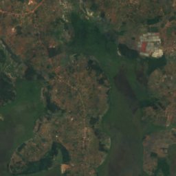
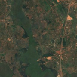
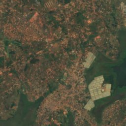
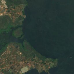
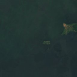
القمر الصناعي: Sentinel-2 cloudless 2016 من EOX IT Services GmbH · CC BY 4.0 · يتضمن بيانات Copernicus Sentinel (2016) معدّلة
Lutembe Beach
Kajansi, Central Region
1,133 م
الجزر
الجزر في أوغندا

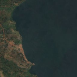
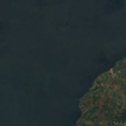
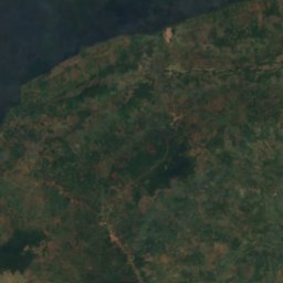
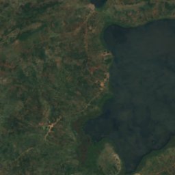
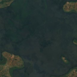
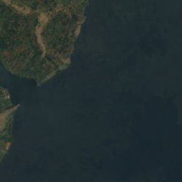
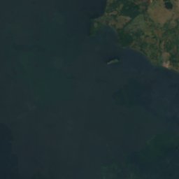
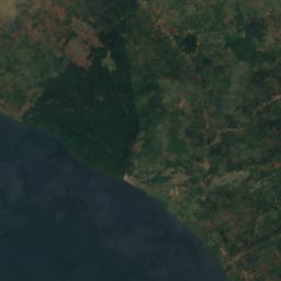
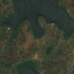
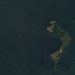
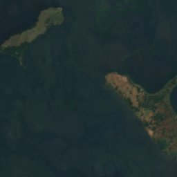
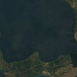
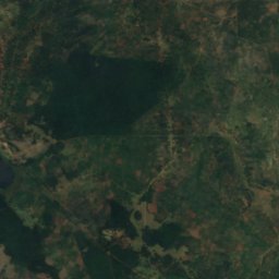
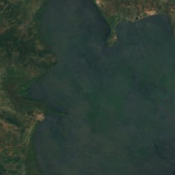
القمر الصناعي: Sentinel-2 cloudless 2016 من EOX IT Services GmbH · CC BY 4.0 · يتضمن بيانات Copernicus Sentinel (2016) معدّلة
Buvuma Island
Jinja, Eastern Region
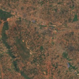
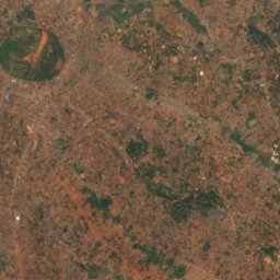
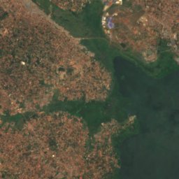
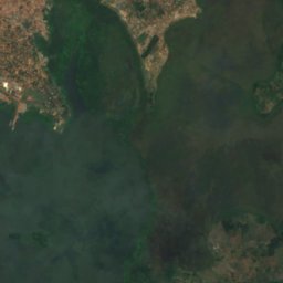
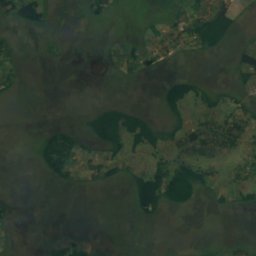
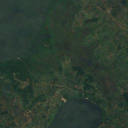
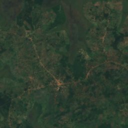
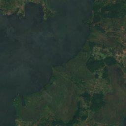
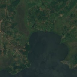
القمر الصناعي: Sentinel-2 cloudless 2016 من EOX IT Services GmbH · CC BY 4.0 · يتضمن بيانات Copernicus Sentinel (2016) معدّلة
Bulingugwe Island
Bunamwaya, Central Region
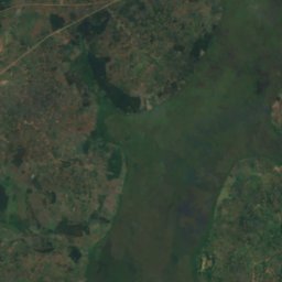
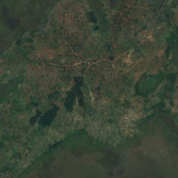
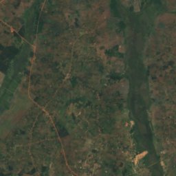
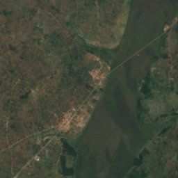
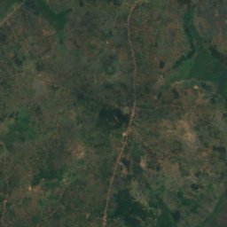
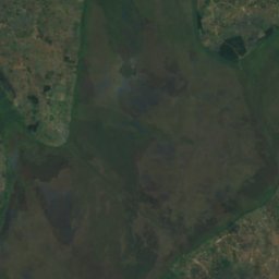
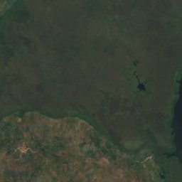
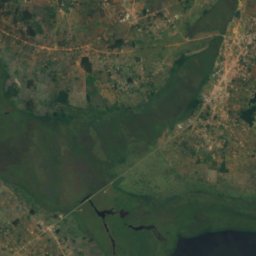
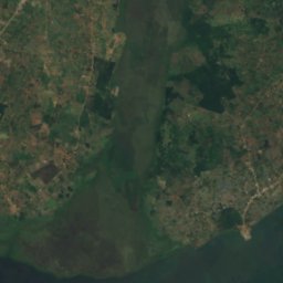
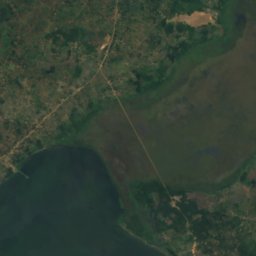
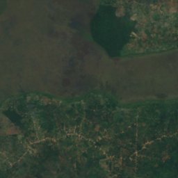
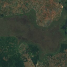
القمر الصناعي: Sentinel-2 cloudless 2016 من EOX IT Services GmbH · CC BY 4.0 · يتضمن بيانات Copernicus Sentinel (2016) معدّلة
Bunjako Island
Gombe, Central Region
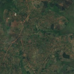
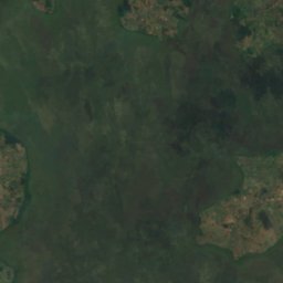
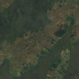
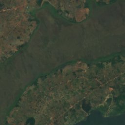
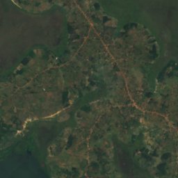
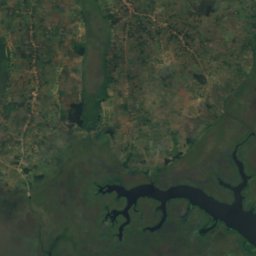
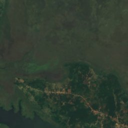
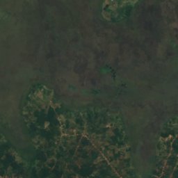
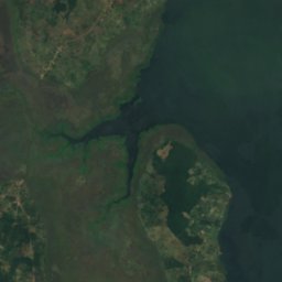
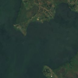
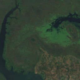
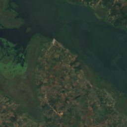
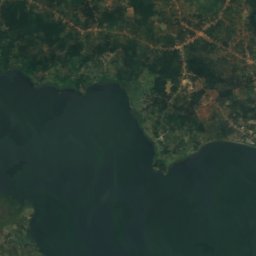
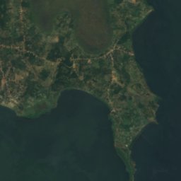
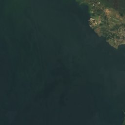
القمر الصناعي: Sentinel-2 cloudless 2016 من EOX IT Services GmbH · CC BY 4.0 · يتضمن بيانات Copernicus Sentinel (2016) معدّلة
Bussi Island
Entebbe, Central Region
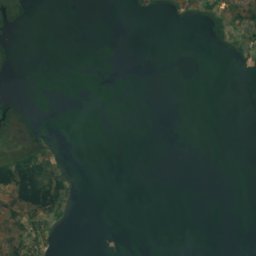
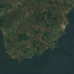
القمر الصناعي: Sentinel-2 cloudless 2016 من EOX IT Services GmbH · CC BY 4.0 · يتضمن بيانات Copernicus Sentinel (2016) معدّلة
Zinga Island
Mpigi, Central Region
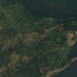
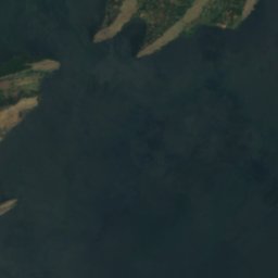
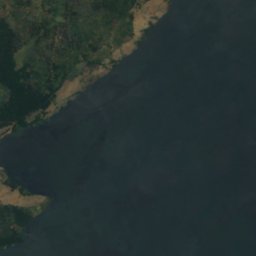
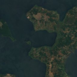
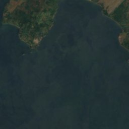
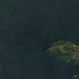
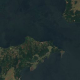
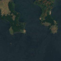


القمر الصناعي: Sentinel-2 cloudless 2016 من EOX IT Services GmbH · CC BY 4.0 · يتضمن بيانات Copernicus Sentinel (2016) معدّلة
Buziri Island
Buikwe, Central Region
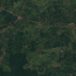
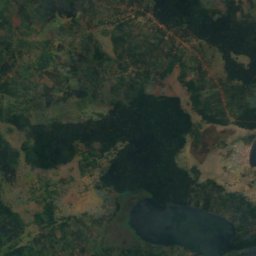
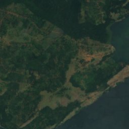
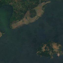
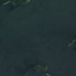
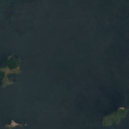
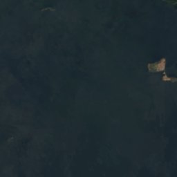
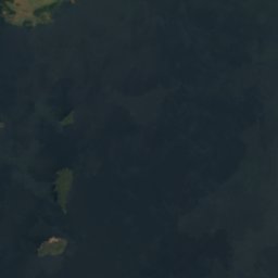

القمر الصناعي: Sentinel-2 cloudless 2016 من EOX IT Services GmbH · CC BY 4.0 · يتضمن بيانات Copernicus Sentinel (2016) معدّلة
Bwema Island
Buikwe, Central Region
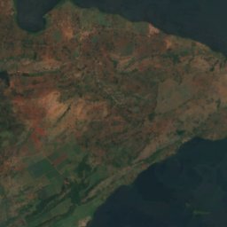
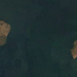
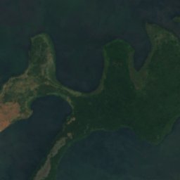
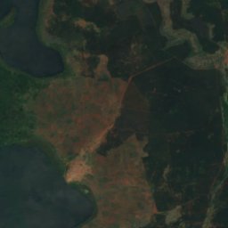
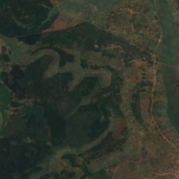
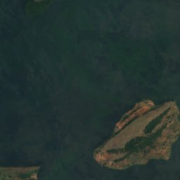
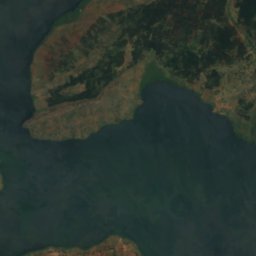
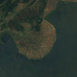
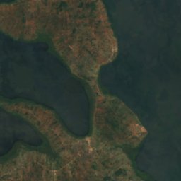
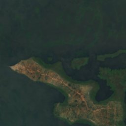
القمر الصناعي: Sentinel-2 cloudless 2016 من EOX IT Services GmbH · CC BY 4.0 · يتضمن بيانات Copernicus Sentinel (2016) معدّلة
Lingira Island
Jinja, Eastern Region
القائمة الكاملة: الجزر (69)
- Agirigiryoi Island
- Akampene Island
- Akika Island
- Bagwe Island
- Buiga Island
- Bukwaya Island
- Bulago Island
- Bulanku Island
- Bulga Island
- Bulinguge Island
- Bulingugwe Island
- Bunjako Island
- Bushara Island
- Bussi Island
- Buvuma Island
- Buziranjovu Island
- Buziri Island
- Bwema Island
- Ikunyu Island
- Irangara Island
- Itambira Island
- Izinga Island, Western Region
- Kabaganja Island
- Kabazimu Island
- Kabulataka Island
- Kaivali Island
- Kamuge Island
- Kamutenga Island
- Kankuranga Island
- Kibibi Island
- Kimi Island
- Kiraza Island
- Kisima Island
- Kisiro Island
- Kitako Island
- Lingira Island
- Lulanda Island
- Lunkulu Island
- Makusu Island
- Masovwi Island
- Mayinja Island
- Mbirubuziba Island
- Mpata Island
- Mpuga Island
- Mpuni Island
- Namalusu Island
- Namama Island
- Namasimbi Island
- Nfo Island
- Ngamba Island
- Nkusa Island, Central Region
- Nkuzi Island
- Nsadzi Island
- Nsenyi Island
- Nsonga Island
- Nyenda Island
- Nziribanje Island
- Ramafuta Island
- Samoka Island
- Sanga Island, Central Region
- Sikanki Island
- Sindiro Island
- Sira Island
- Sowe Island
- Tavu Island
- Wabitembe Island
- Zigunga Twins
- Zigwe Island
- Zinga Island
الأنهار
الأنهار في أوغندا


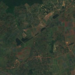
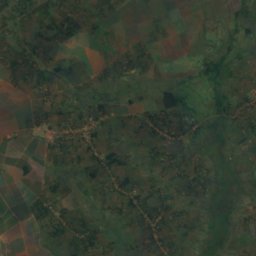
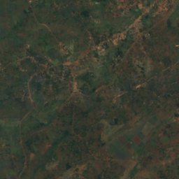
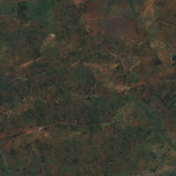
القمر الصناعي: Sentinel-2 cloudless 2016 من EOX IT Services GmbH · CC BY 4.0 · يتضمن بيانات Copernicus Sentinel (2016) معدّلة
النيل الأبيض
Jinja, Eastern Region
350 م
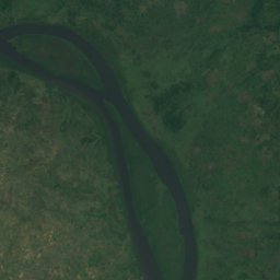
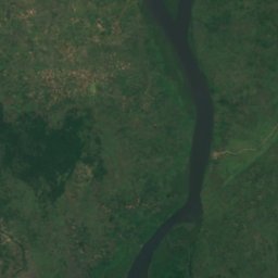
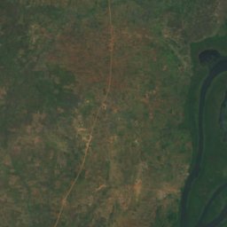
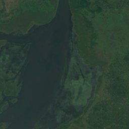
القمر الصناعي: Sentinel-2 cloudless 2016 من EOX IT Services GmbH · CC BY 4.0 · يتضمن بيانات Copernicus Sentinel (2016) معدّلة
Ora River
Pakwach, Northern Region
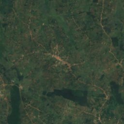
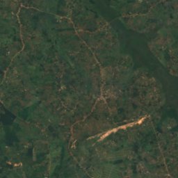
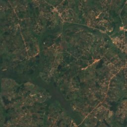
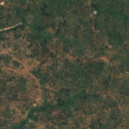
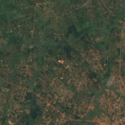
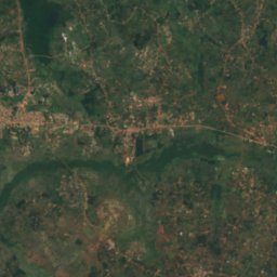
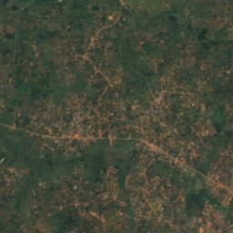
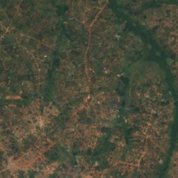
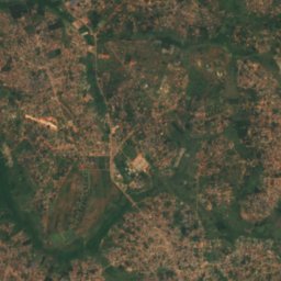
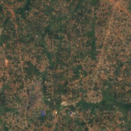
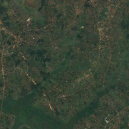
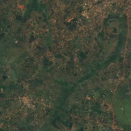
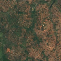
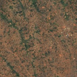
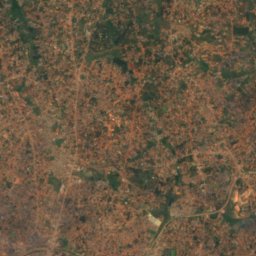
القمر الصناعي: Sentinel-2 cloudless 2016 من EOX IT Services GmbH · CC BY 4.0 · يتضمن بيانات Copernicus Sentinel (2016) معدّلة
Lwajjali River
Nansana, Central Region
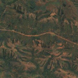
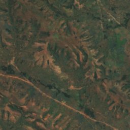
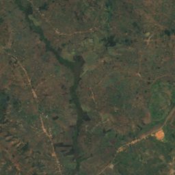
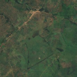
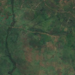
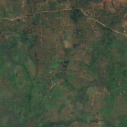
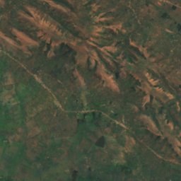
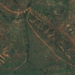
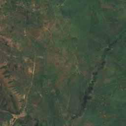
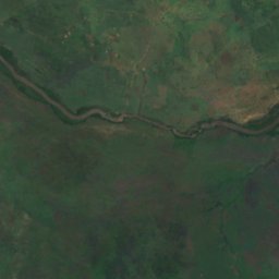
القمر الصناعي: Sentinel-2 cloudless 2016 من EOX IT Services GmbH · CC BY 4.0 · يتضمن بيانات Copernicus Sentinel (2016) معدّلة
Kagitumba river
Mabare, Western Region
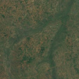
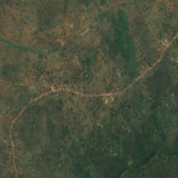
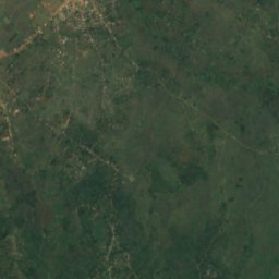
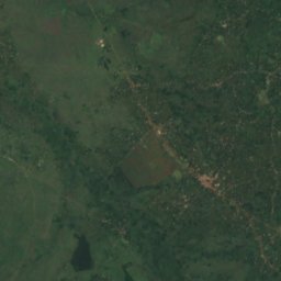
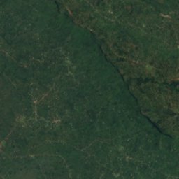


القمر الصناعي: Sentinel-2 cloudless 2016 من EOX IT Services GmbH · CC BY 4.0 · يتضمن بيانات Copernicus Sentinel (2016) معدّلة
River Sironko
Mbale, Eastern Region