Natur
Wasser, Eis und Wildnis in Uganda
Seen, Wasserfälle, Gletscher, Nationalparks und Berghütten – jeweils mit Lage, Größe und dem Wetter der Orte ringsum.
Seen20mit eigener Seite
Wasserfälle13mit eigener Seite
Gletscher2mit eigener Seite
Nationalparks7mit eigener Seite

Seen
Seen Ugandas


Foto: Bruno ashimwe winks · CC BY-SA 4.0 · Wikimedia CommonsFoto melden · verlinkt, nicht gespeichert
Mulehesee
Kisoro, Western Region
4,1 km²


Wasserfälle
Wasserfälle Ugandas


Foto: Random clicks 2910 · CC BY-SA 4.0 · Wikimedia CommonsFoto melden · verlinkt, nicht gespeichert
Sisiyi Falls
Kapchorwa, Eastern Region
100 m Fallhöhe


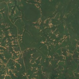
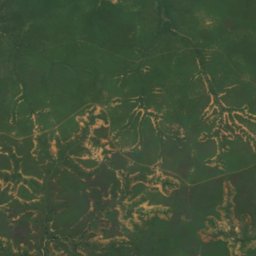
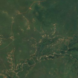
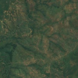
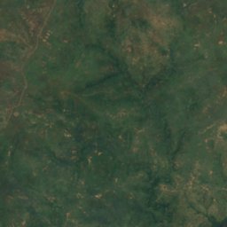
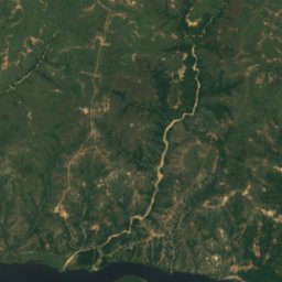
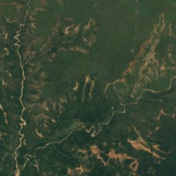
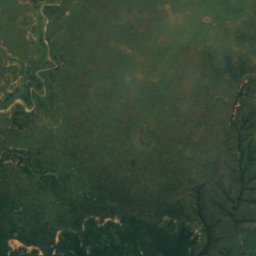
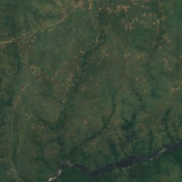
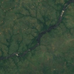
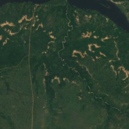
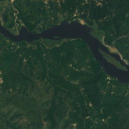
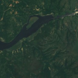
Satellit: Sentinel-2 cloudless 2016 by EOX IT Services GmbH · CC BY 4.0 · Contains modified Copernicus Sentinel data 2016
Murchison Falls
Pakwach, Northern Region
43 m Fallhöhe
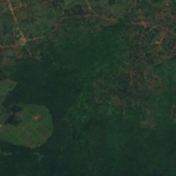
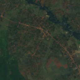
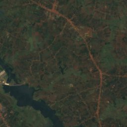
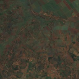
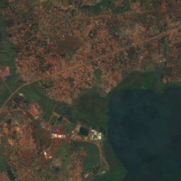
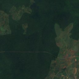
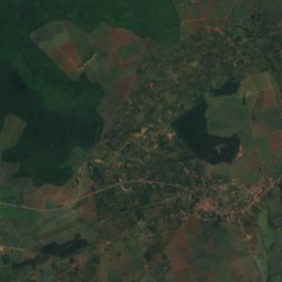
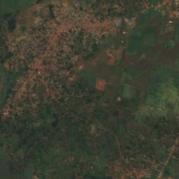
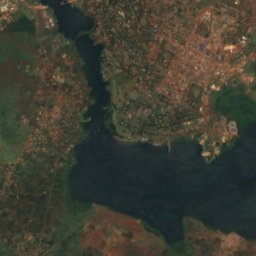
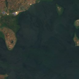
Satellit: Sentinel-2 cloudless 2016 by EOX IT Services GmbH · CC BY 4.0 · Contains modified Copernicus Sentinel data 2016
Owen Falls
Njeru, Central Region
Gletscher
Gletscher Ugandas
Satellit: Sentinel-2 cloudless 2016 by EOX IT Services GmbH · CC BY 4.0 · Contains modified Copernicus Sentinel data 2016
Thompson Glacier
Kilembe, Western Region
Satellit: Sentinel-2 cloudless 2016 by EOX IT Services GmbH · CC BY 4.0 · Contains modified Copernicus Sentinel data 2016
Spele Glacier
Kilembe, Western Region
Nationalparks
Nationalparks Ugandas

Foto: Rweinkove at English Wikipedia · CC BY-SA 3.0 · Wikimedia CommonsFoto melden · verlinkt, nicht gespeichert
Queen-Elizabeth-Nationalpark
Rubirizi, Western Region
1.978 km²


Berghütten
Berghütten Ugandas

Strände
Strände Ugandas
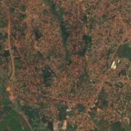
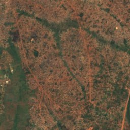
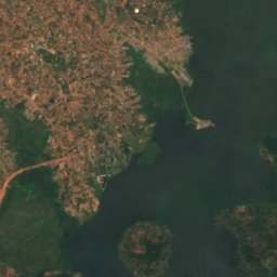
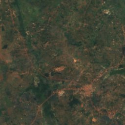
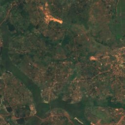
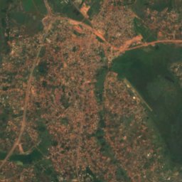
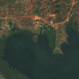
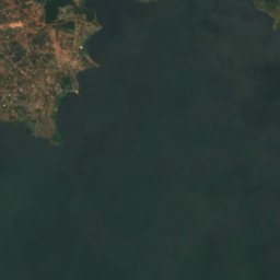
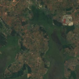
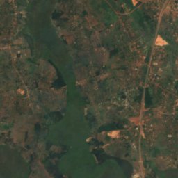
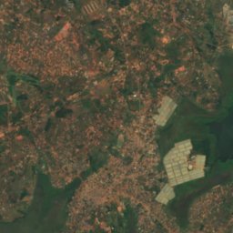
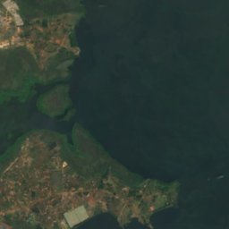
Satellit: Sentinel-2 cloudless 2016 by EOX IT Services GmbH · CC BY 4.0 · Contains modified Copernicus Sentinel data 2016
Lutembe Beach
Kajansi, Central Region
1.133 m
Inseln
Inseln Ugandas

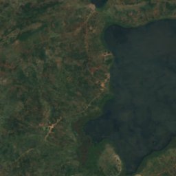
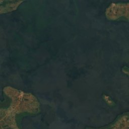
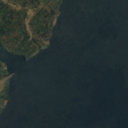
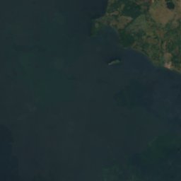
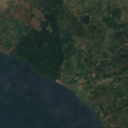
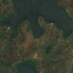
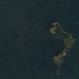
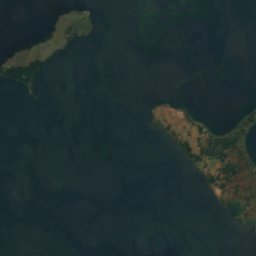
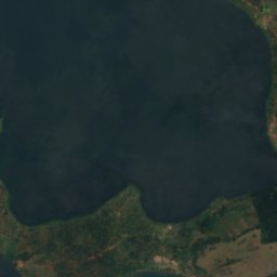
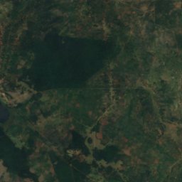
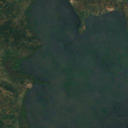
Satellit: Sentinel-2 cloudless 2016 by EOX IT Services GmbH · CC BY 4.0 · Contains modified Copernicus Sentinel data 2016
Buvuma-Inseln
Jinja, Eastern Region
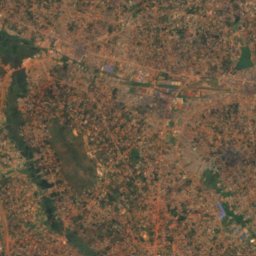
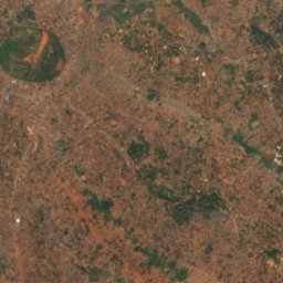
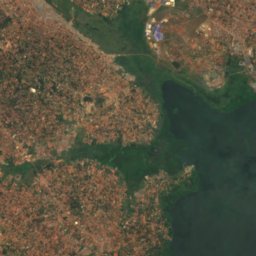
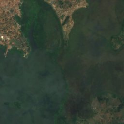
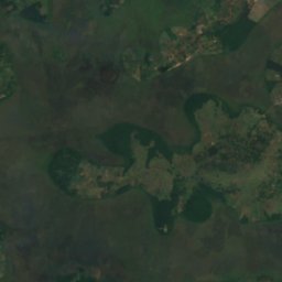
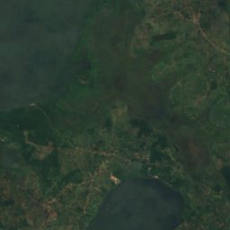
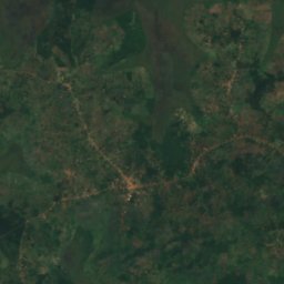
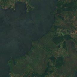
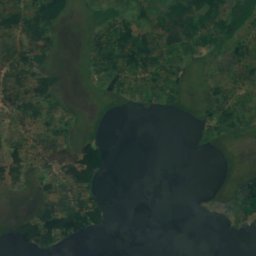
Satellit: Sentinel-2 cloudless 2016 by EOX IT Services GmbH · CC BY 4.0 · Contains modified Copernicus Sentinel data 2016
Bulingugwe Island
Bunamwaya, Central Region
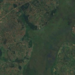
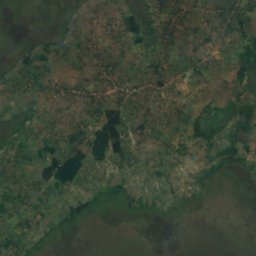
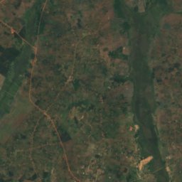
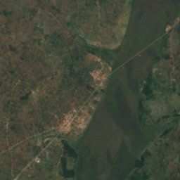
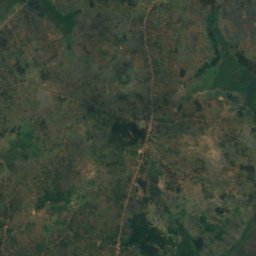
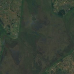
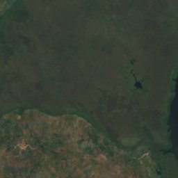
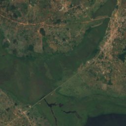
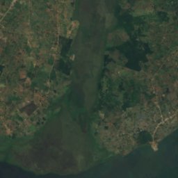
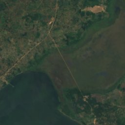
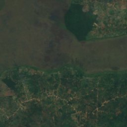
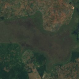
Satellit: Sentinel-2 cloudless 2016 by EOX IT Services GmbH · CC BY 4.0 · Contains modified Copernicus Sentinel data 2016
Kisiwa cha Bunjako
Gombe, Central Region
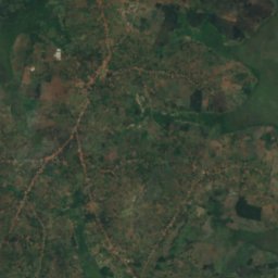
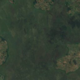
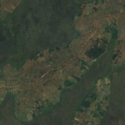
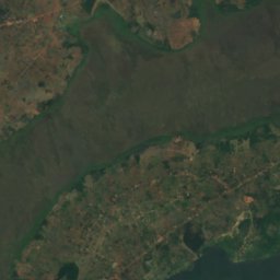
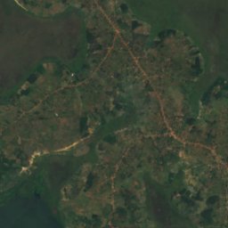
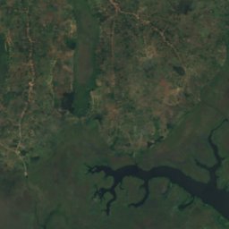
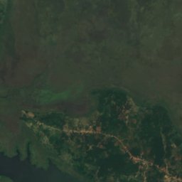
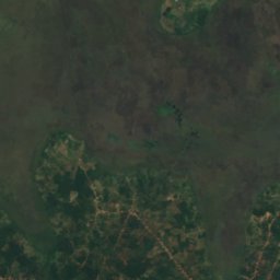
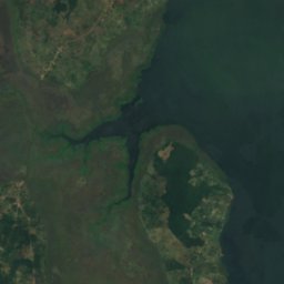
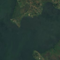
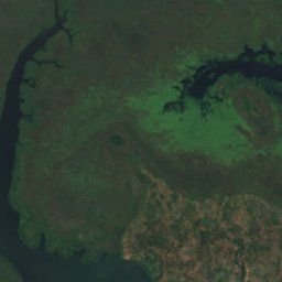
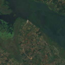
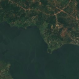
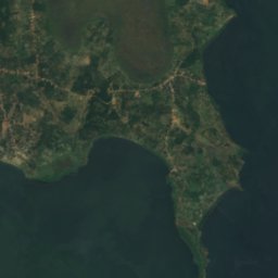
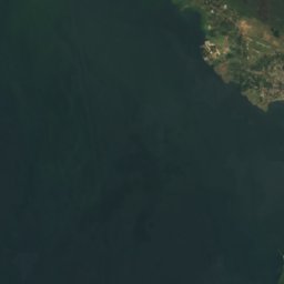
Satellit: Sentinel-2 cloudless 2016 by EOX IT Services GmbH · CC BY 4.0 · Contains modified Copernicus Sentinel data 2016
Kisiwa cha Bussi
Entebbe, Central Region
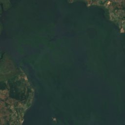
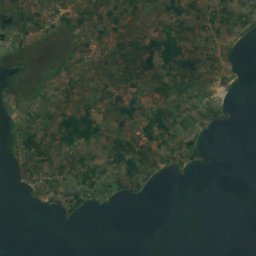
Satellit: Sentinel-2 cloudless 2016 by EOX IT Services GmbH · CC BY 4.0 · Contains modified Copernicus Sentinel data 2016
Kisiwa cha Zinga
Mpigi, Central Region
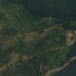
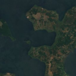
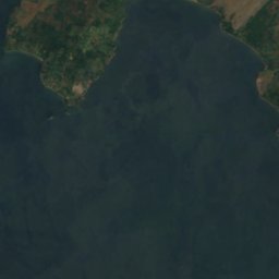
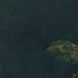
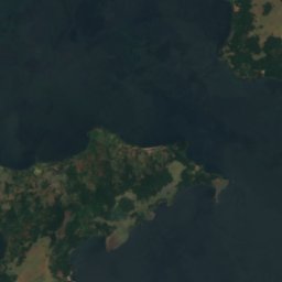
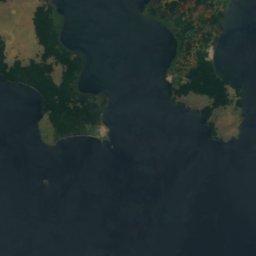


Satellit: Sentinel-2 cloudless 2016 by EOX IT Services GmbH · CC BY 4.0 · Contains modified Copernicus Sentinel data 2016
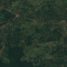
Kisiwa cha Buziri
Buikwe, Central Region

Satellit: Sentinel-2 cloudless 2016 by EOX IT Services GmbH · CC BY 4.0 · Contains modified Copernicus Sentinel data 2016
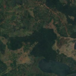
Kisiwa cha Bwema
Buikwe, Central Region
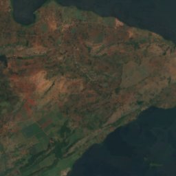
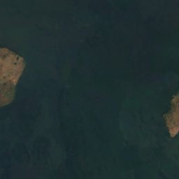
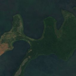
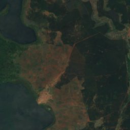
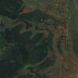
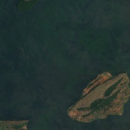
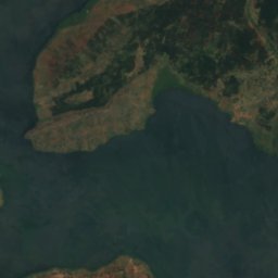
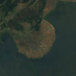
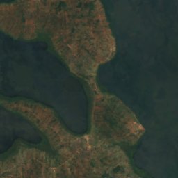
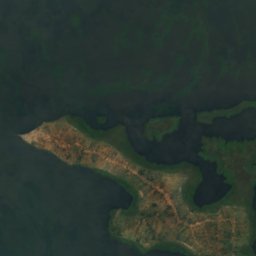
Satellit: Sentinel-2 cloudless 2016 by EOX IT Services GmbH · CC BY 4.0 · Contains modified Copernicus Sentinel data 2016
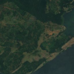
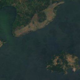
Kisiwa cha Lingira
Jinja, Eastern Region
Alle 69 Inseln
- Akampene
- Bulingugwe Island
- Bushara
- Buvuma-Inseln
- Itambira
- Kisiwa cha Agirigiryoi
- Kisiwa cha Akika
- Kisiwa cha Bagwe
- Kisiwa cha Buiga, Gombe
- Kisiwa cha Buiga, Mpigi
- Kisiwa cha Bukwaya
- Kisiwa cha Bulago
- Kisiwa cha Bulanku
- Kisiwa cha Bulingugwe
- Kisiwa cha Bunjako
- Kisiwa cha Bussi
- Kisiwa cha Buziranjovu
- Kisiwa cha Buziri
- Kisiwa cha Bwema
- Kisiwa cha Ikunyu
- Kisiwa cha Irangara
- Kisiwa cha Izinga, Western Region
- Kisiwa cha Kabaganja
- Kisiwa cha Kabazimu
- Kisiwa cha Kabulataka
- Kisiwa cha Kaivali
- Kisiwa cha Kamuge
- Kisiwa cha Kamutenga
- Kisiwa cha Kankuranga
- Kisiwa cha Kibibi
- Kisiwa cha Kimi
- Kisiwa cha Kiraza
- Kisiwa cha Kisima
- Kisiwa cha Kisiro
- Kisiwa cha Kitako
- Kisiwa cha Lingira
- Kisiwa cha Lulanda
- Kisiwa cha Lunkulu
- Kisiwa cha Masovwi
- Kisiwa cha Mayinja
- Kisiwa cha Mbirubuziba
- Kisiwa cha Mpata
- Kisiwa cha Mpuga
- Kisiwa cha Mpuni
- Kisiwa cha Namalusu
- Kisiwa cha Namama
- Kisiwa cha Namasimbi
- Kisiwa cha Nfo
- Kisiwa cha Ngamba
- Kisiwa cha Nkusa
- Kisiwa cha Nkuzi
- Kisiwa cha Nsadzi
- Kisiwa cha Nsenyi
- Kisiwa cha Nsonga
- Kisiwa cha Nyenda
- Kisiwa cha Nziribanje
- Kisiwa cha Ramafuta
- Kisiwa cha Samoka
- Kisiwa cha Sanga, Central Region
- Kisiwa cha Sikanki
- Kisiwa cha Sindiro
- Kisiwa cha Sira
- Kisiwa cha Sowe
- Kisiwa cha Tavu
- Kisiwa cha Wabitembe
- Kisiwa cha Zigwe
- Kisiwa cha Zinga
- Makusu Island
- Visiwa pacha vya Zigunga
Flüsse
Flüsse Ugandas


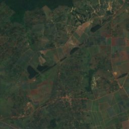
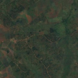
Satellit: Sentinel-2 cloudless 2016 by EOX IT Services GmbH · CC BY 4.0 · Contains modified Copernicus Sentinel data 2016
Weißer Nil
Jinja, Eastern Region
350 m
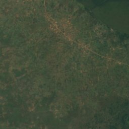
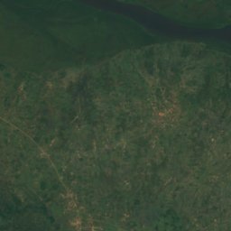
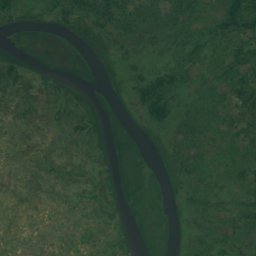
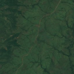
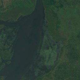
Satellit: Sentinel-2 cloudless 2016 by EOX IT Services GmbH · CC BY 4.0 · Contains modified Copernicus Sentinel data 2016
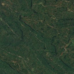
Ora
Pakwach, Northern Region
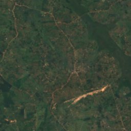
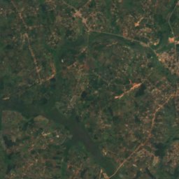
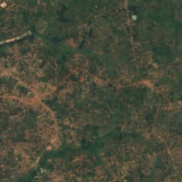
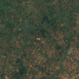
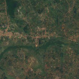
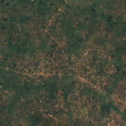
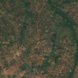
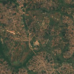
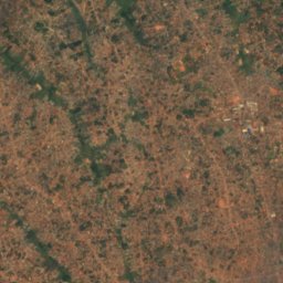
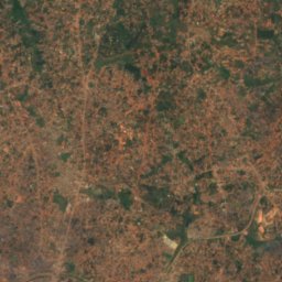
Satellit: Sentinel-2 cloudless 2016 by EOX IT Services GmbH · CC BY 4.0 · Contains modified Copernicus Sentinel data 2016
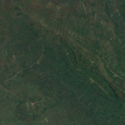
Mto Lwajjali
Nansana, Central Region
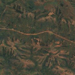
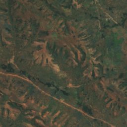
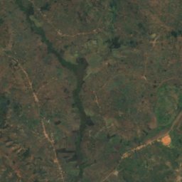
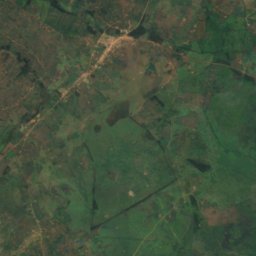
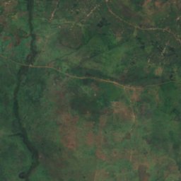
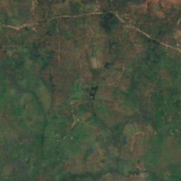
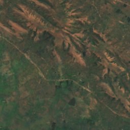
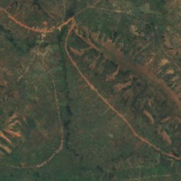
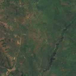
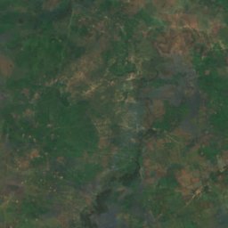
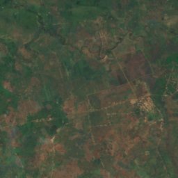
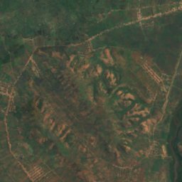
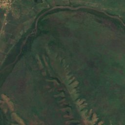
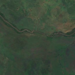
Satellit: Sentinel-2 cloudless 2016 by EOX IT Services GmbH · CC BY 4.0 · Contains modified Copernicus Sentinel data 2016
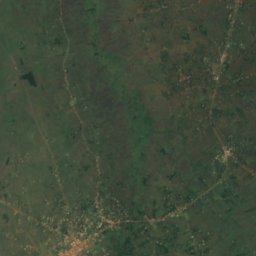
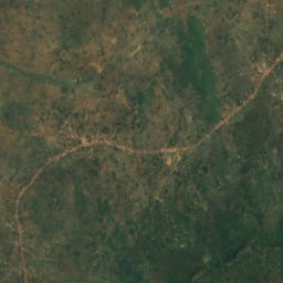
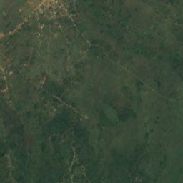
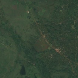
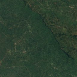
Kagitumba river
Mabare, Western Region


Satellit: Sentinel-2 cloudless 2016 by EOX IT Services GmbH · CC BY 4.0 · Contains modified Copernicus Sentinel data 2016
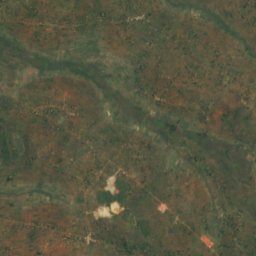
River Sironko
Mbale, Eastern Region