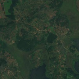
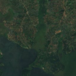
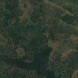
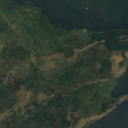
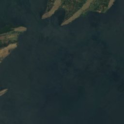
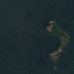
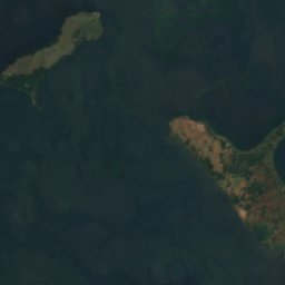
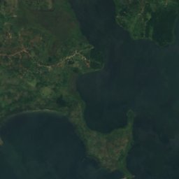
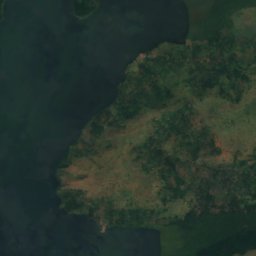
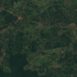
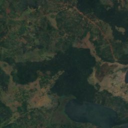
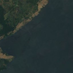
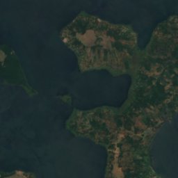
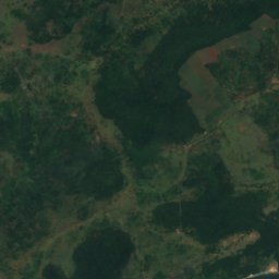
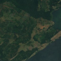
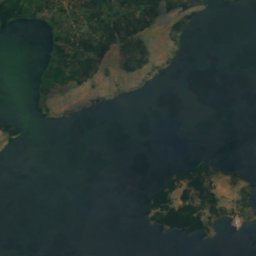
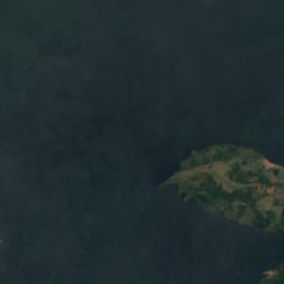
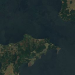
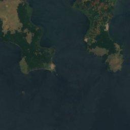


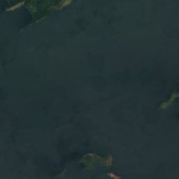
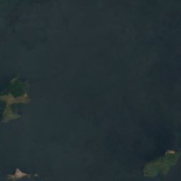
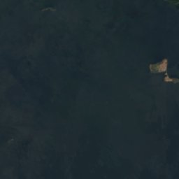
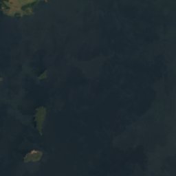


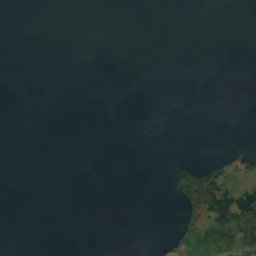
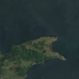







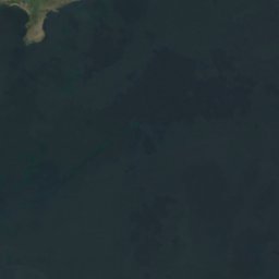




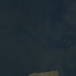

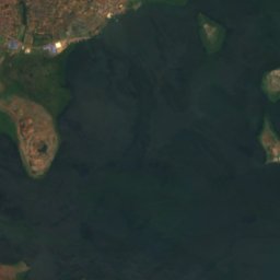
Satellite: Sentinel-2 cloudless 2016 by EOX IT Services GmbH · CC BY 4.0 · Contains modified Copernicus Sentinel data 2016
IslandBuikwe, Central Region
Zigunga Twins
Island1,133 m elevationBest Jan–Feb · Jul
Elevation1,133 mabove sea level
Area–surface
Nearest townBuikwe29 km
0.09° N, 33.06° EElevation 1,133 mUTC+3 · East Africa Time
When to goBuikwe · weather score
Best timeJan–Feb · Jul
October: high / low24° / 18°
Island
Zigunga Twins in brief
Zigunga Twins is an island in Buikwe, Central Region, Uganda.
It lies at 1,133 m above sea level.
The nearest town is Buikwe, 29 km to the N, where the weather is best in January, February and July.
Weather nearby now
Forecast for Buikwe20°
Clear now
Today
29 Oct
25°
18°
9 mm
Fri
30 Oct
26°
18°
1 mm
Sat
31 Oct
26°
17°
4 mm
Sun
1 Nov
25°
20°
13 mm
Mon
2 Nov
26°
19°
6 mm
Model run 12:00 UTCRefreshed several times a day
When to go
Climate of BuikweThe best months around Zigunga Twins
Month score in Buikwe
Comfort, dry days and sunshine · out of 10064
Jan
63
Feb
55
Mar
50
Apr
54
May
61
Jun
62
Jul
61
Aug
58
Sep
52
Oct
52
Nov
58
Dec
Map
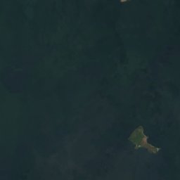
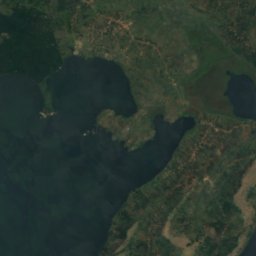
Zigunga Twins from above
Nature nearbyAll of Uganda
Satellite: Sentinel-2 cloudless 2016 by EOX IT Services GmbH · CC BY 4.0 · Contains modified Copernicus Sentinel data 2016
Satellite: Sentinel-2 cloudless 2016 by EOX IT Services GmbH · CC BY 4.0 · Contains modified Copernicus Sentinel data 2016
Satellite: Sentinel-2 cloudless 2016 by EOX IT Services GmbH · CC BY 4.0 · Contains modified Copernicus Sentinel data 2016
Satellite: Sentinel-2 cloudless 2016 by EOX IT Services GmbH · CC BY 4.0 · Contains modified Copernicus Sentinel data 2016
Satellite: Sentinel-2 cloudless 2016 by EOX IT Services GmbH · CC BY 4.0 · Contains modified Copernicus Sentinel data 2016
Satellite: Sentinel-2 cloudless 2016 by EOX IT Services GmbH · CC BY 4.0 · Contains modified Copernicus Sentinel data 2016
Around here
Buikwe and around

Photo: YoTuT from United States · CC BY 2.0 · Wikimedia CommonsReport this photo · linked, not stored
Buikwe
Central Region · Uganda
Jan–Feb · Julbest months
23°July high
1,230 maltitude
Nature
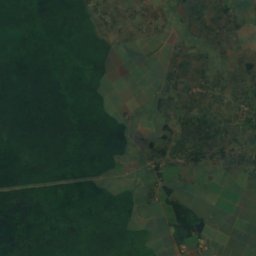
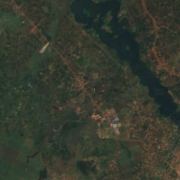
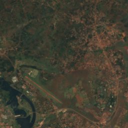
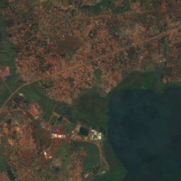
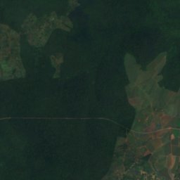
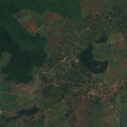
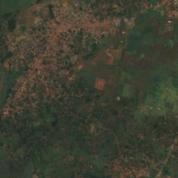
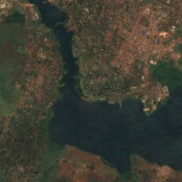
Satellite: Sentinel-2 cloudless 2016 by EOX IT Services GmbH · CC BY 4.0 · Contains modified Copernicus Sentinel data 2016
White Nile
River · 350 m
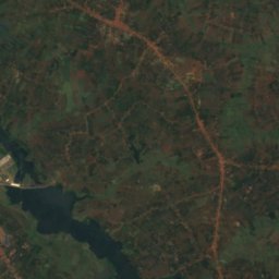
Satellite: Sentinel-2 cloudless 2016 by EOX IT Services GmbH · CC BY 4.0 · Contains modified Copernicus Sentinel data 2016
Owen Falls
Waterfall

Heritage








Satellite: Sentinel-2 cloudless 2016 by EOX IT Services GmbH · CC BY 4.0 · Contains modified Copernicus Sentinel data 2016
Mabira Forest
National Cultural Site of Uganda