Nature
Waters, ice and wild places of Mauritius
Lakes, waterfalls, glaciers, national parks and mountain huts, each with its location, its size and the weather of the towns around it.
Lakes4with a page
Waterfalls6with a page
National parks2with a page
Beaches8with a page

Lakes
Lakes of Mauritius
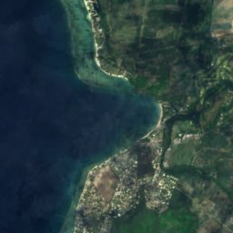
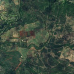
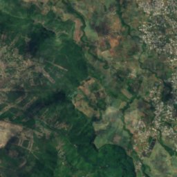
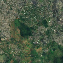
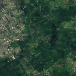
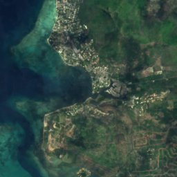
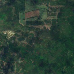
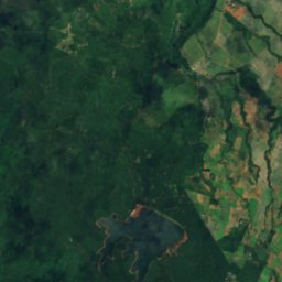
Satellite: Sentinel-2 cloudless 2016 by EOX IT Services GmbH · CC BY 4.0 · Contains modified Copernicus Sentinel data 2016
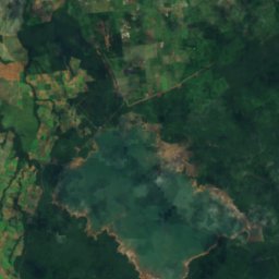
Mare aux Vacoas
Curepipe, Plaines Wilhems
2.6 km²
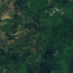
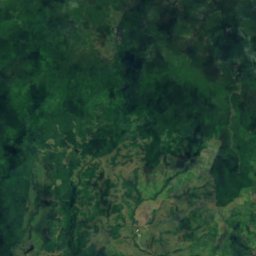
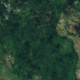
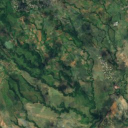
Satellite: Sentinel-2 cloudless 2016 by EOX IT Services GmbH · CC BY 4.0 · Contains modified Copernicus Sentinel data 2016
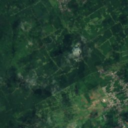
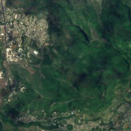
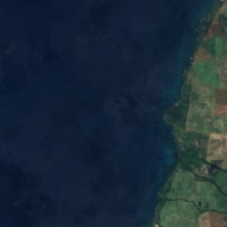
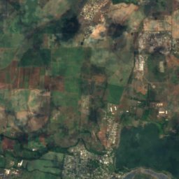
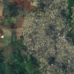
Ganga Talao
Grand Bois, Savanne
700 m
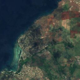
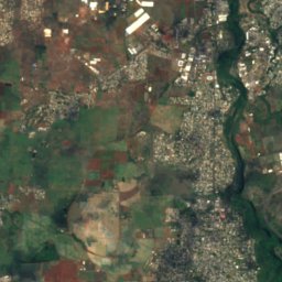

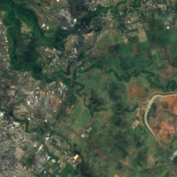

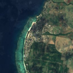
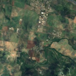
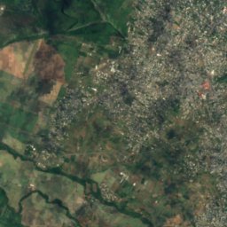
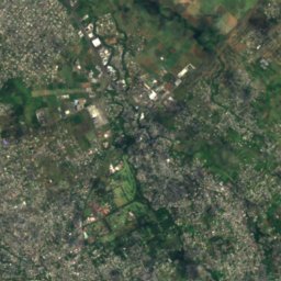
Satellite: Sentinel-2 cloudless 2016 by EOX IT Services GmbH · CC BY 4.0 · Contains modified Copernicus Sentinel data 2016
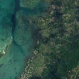
La Ferme Reservoir
Bambous, Black River
Satellite: Sentinel-2 cloudless 2016 by EOX IT Services GmbH · CC BY 4.0 · Contains modified Copernicus Sentinel data 2016
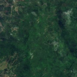
Mare Longue Reservoir
Chamarel, Black River
Waterfalls
Waterfalls of Mauritius


Photo: Ludovic Lubeigt from Mauritius · CC BY-SA 2.0 · Wikimedia CommonsReport this photo · linked, not stored
Mare aux Joncs
Chamarel, Black River

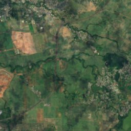
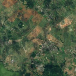
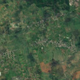
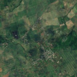
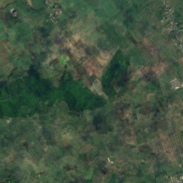
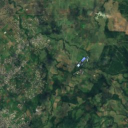
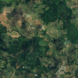
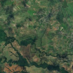
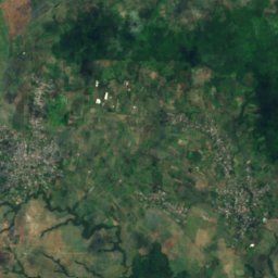
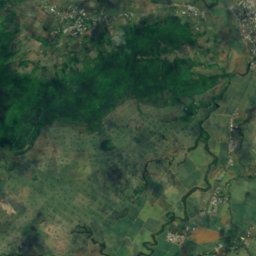
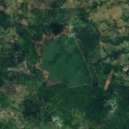
Satellite: Sentinel-2 cloudless 2016 by EOX IT Services GmbH · CC BY 4.0 · Contains modified Copernicus Sentinel data 2016
Cascade Diamamouve
Montagne Blanche, Moka
262 m
National parks
National parks of Mauritius


Beaches
Beaches of Mauritius



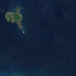


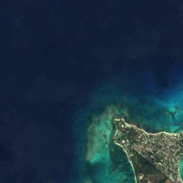
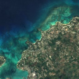
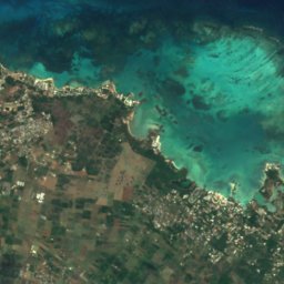

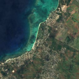
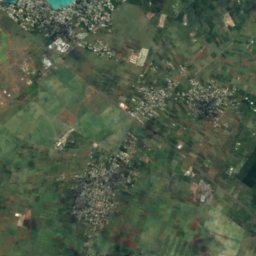
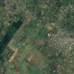
Satellite: Sentinel-2 cloudless 2016 by EOX IT Services GmbH · CC BY 4.0 · Contains modified Copernicus Sentinel data 2016
Mont Choisy
Trou-aux-Biches, Pamplemousses
Islands
Islands of Mauritius


Photo: Algonkins (https://lv.wikipedia.org/wiki/Dalībnieks:Algonkins) · Public domain · Wikimedia CommonsReport this photo · linked, not stored
Île Ronde
Grand Gaube, Rivière du Rempart
280 m

Photo: Arne Müseler / www.arne-mueseler.com · CC BY-SA 3.0 de · Wikimedia CommonsReport this photo · linked, not stored
Île aux Cerfs
Grande Rivière Sud Est, Flacq

Photo: carrotmadman6 from Mauritius · CC BY 2.0 · Wikimedia CommonsReport this photo · linked, not stored
Île aux Fouquets
Bois des Amourettes, Grand Port

Photo: mwanasimba from La Réunion · CC BY-SA 2.0 · Wikimedia CommonsReport this photo · linked, not stored
Amber Island
Poudre d’Or, Rivière du Rempart

Photo: Lukas von Daeniken from Schweiz · CC BY-SA 2.0 · Wikimedia CommonsReport this photo · linked, not stored
Île aux Bénitiers
Petite Case Noyale, Black River



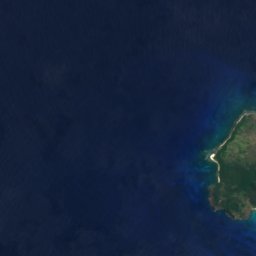
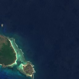

Satellite: Sentinel-2 cloudless 2016 by EOX IT Services GmbH · CC BY 4.0 · Contains modified Copernicus Sentinel data 2016
Île Plate
Calodyne, Rivière du Rempart
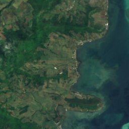
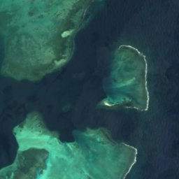

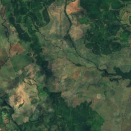
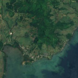
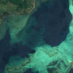
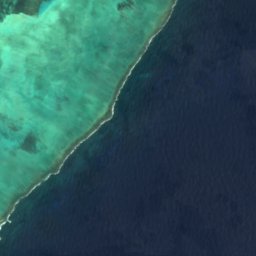
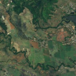
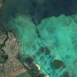
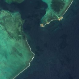

Satellite: Sentinel-2 cloudless 2016 by EOX IT Services GmbH · CC BY 4.0 · Contains modified Copernicus Sentinel data 2016
Île de la Passe
Bois des Amourettes, Grand Port
All 28 islands
- Amber Island
- Barkly Island
- Brocus Island
- Case Noyale
- Diamant Reef
- Fever Island
- Gunner's Quoin
- Île aux Aigrettes
- Île aux Bénitiers
- Île aux Cerfs
- Île aux Fouquets
- Île aux Tonneliers
- Île Chat
- Île de la Passe
- Île Plate
- Île Ronde
- Ilot Bacouas
- Îlot Gabriel
- Lafond Island
- Mapu Patch
- Matapan Island
- Mauritius Island
- Mouchoir Rouge
- Nab Reef
- Pointe Bernache
- Sandringham Reef
- The Blinder
- Vacoas-Phoenix (Mauritius)
Rivers
Rivers of Mauritius




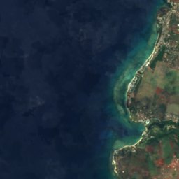
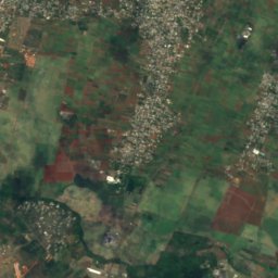
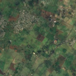
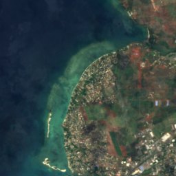
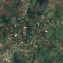
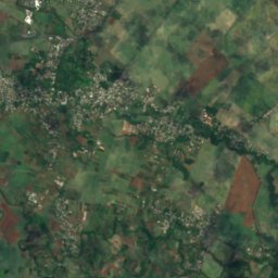


Satellite: Sentinel-2 cloudless 2016 by EOX IT Services GmbH · CC BY 4.0 · Contains modified Copernicus Sentinel data 2016
Rivière du Tombeau
Arsenal, Pamplemousses