الطبيعة
المياه والأنهار الجليدية والبرية في موريشيوس
البحيرات والشلالات والأنهار الجليدية والحدائق الوطنية والمآوي الجبلية، لكل منها موقعه وحجمه والطقس في جواره.
البحيرات4لكل منها صفحتها
الشلالات6لكل منها صفحتها
الحدائق الوطنية2لكل منها صفحتها
الشواطئ8لكل منها صفحتها

البحيرات
البحيرات في موريشيوس
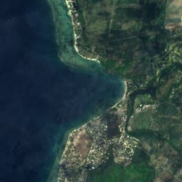
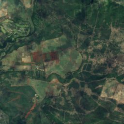
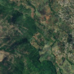
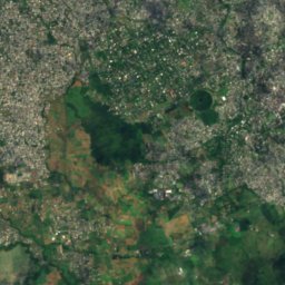
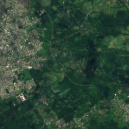
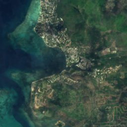
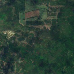
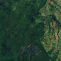
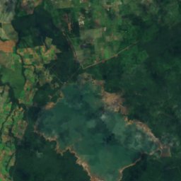
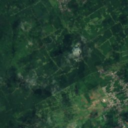
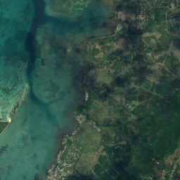
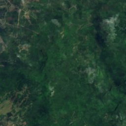
القمر الصناعي: Sentinel-2 cloudless 2016 من EOX IT Services GmbH · CC BY 4.0 · يتضمن بيانات Copernicus Sentinel (2016) معدّلة
Mare aux Vacoas
Curepipe, Plaines Wilhems
2.6 km²
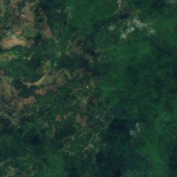
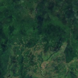
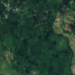
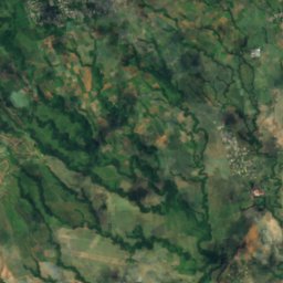
القمر الصناعي: Sentinel-2 cloudless 2016 من EOX IT Services GmbH · CC BY 4.0 · يتضمن بيانات Copernicus Sentinel (2016) معدّلة
Ganga Talao
Grand Bois, Savanne
700 م
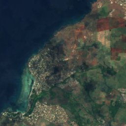
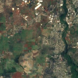
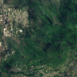

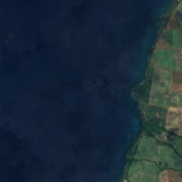
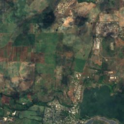
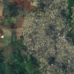
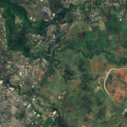

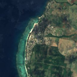
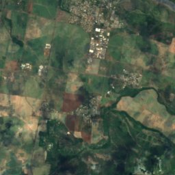
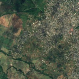
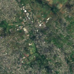
القمر الصناعي: Sentinel-2 cloudless 2016 من EOX IT Services GmbH · CC BY 4.0 · يتضمن بيانات Copernicus Sentinel (2016) معدّلة
La Ferme Reservoir
Bambous, Black River
القمر الصناعي: Sentinel-2 cloudless 2016 من EOX IT Services GmbH · CC BY 4.0 · يتضمن بيانات Copernicus Sentinel (2016) معدّلة
Mare Longue Reservoir
Chamarel, Black River
الشلالات
الشلالات في موريشيوس


الصورة: Ludovic Lubeigt from Mauritius · CC BY-SA 2.0 · Wikimedia Commonsأبلغ عن هذه الصورة · بالرابط، دون تخزين
Mare aux Joncs
Chamarel, Black River

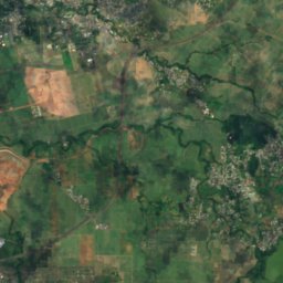
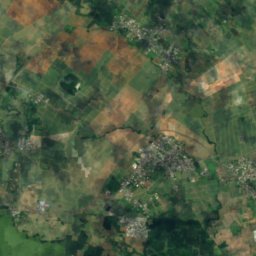
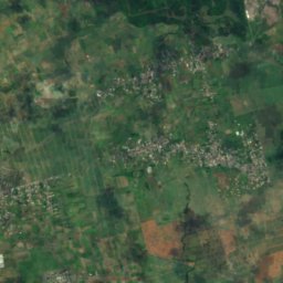
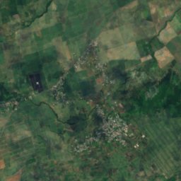
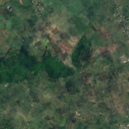
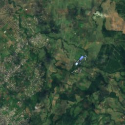
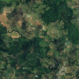
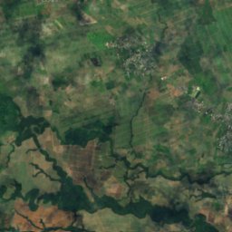
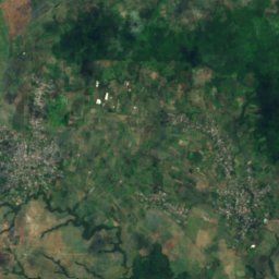
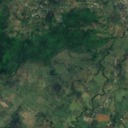
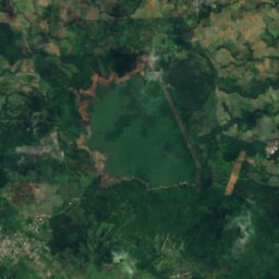
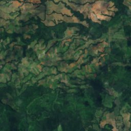
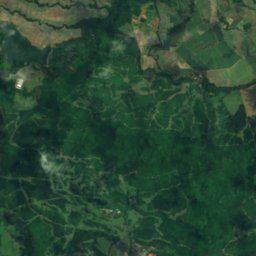
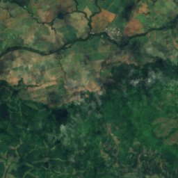
القمر الصناعي: Sentinel-2 cloudless 2016 من EOX IT Services GmbH · CC BY 4.0 · يتضمن بيانات Copernicus Sentinel (2016) معدّلة
Cascade Diamamouve
Montagne Blanche, Moka
262 م
الحدائق الوطنية
الحدائق الوطنية في موريشيوس


الشواطئ
الشواطئ في موريشيوس




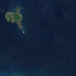


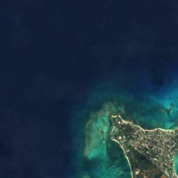
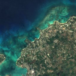
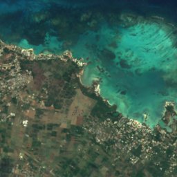

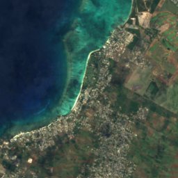
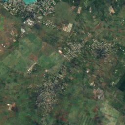
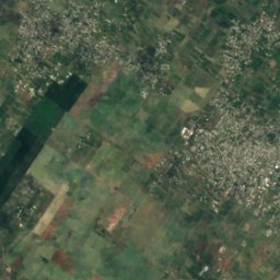
القمر الصناعي: Sentinel-2 cloudless 2016 من EOX IT Services GmbH · CC BY 4.0 · يتضمن بيانات Copernicus Sentinel (2016) معدّلة
Mont Choisy
Trou-aux-Biches, Pamplemousses
الجزر
الجزر في موريشيوس


الصورة: Algonkins (https://lv.wikipedia.org/wiki/Dalībnieks:Algonkins) · Public domain · Wikimedia Commonsأبلغ عن هذه الصورة · بالرابط، دون تخزين
Île Ronde
Grand Gaube, Rivière du Rempart
280 م

الصورة: Arne Müseler / www.arne-mueseler.com · CC BY-SA 3.0 de · Wikimedia Commonsأبلغ عن هذه الصورة · بالرابط، دون تخزين
Île aux Cerfs
Grande Rivière Sud Est, Flacq

الصورة: carrotmadman6 from Mauritius · CC BY 2.0 · Wikimedia Commonsأبلغ عن هذه الصورة · بالرابط، دون تخزين
Île aux Fouquets
Bois des Amourettes, Grand Port

الصورة: mwanasimba from La Réunion · CC BY-SA 2.0 · Wikimedia Commonsأبلغ عن هذه الصورة · بالرابط، دون تخزين
Amber Island
Poudre d’Or, Rivière du Rempart

الصورة: Lukas von Daeniken from Schweiz · CC BY-SA 2.0 · Wikimedia Commonsأبلغ عن هذه الصورة · بالرابط، دون تخزين
Île aux Bénitiers
Petite Case Noyale, Black River



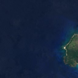
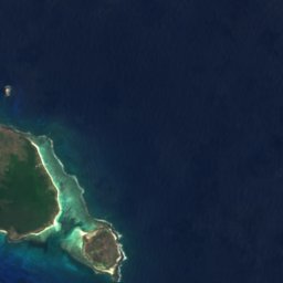


القمر الصناعي: Sentinel-2 cloudless 2016 من EOX IT Services GmbH · CC BY 4.0 · يتضمن بيانات Copernicus Sentinel (2016) معدّلة
Île Plate
Calodyne, Rivière du Rempart
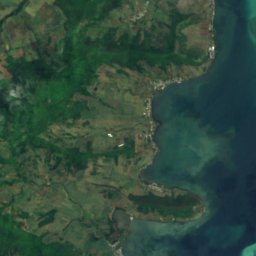
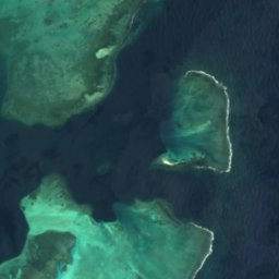

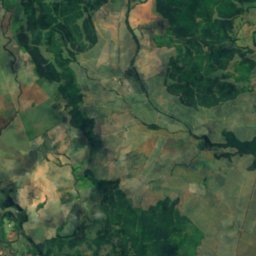
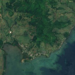
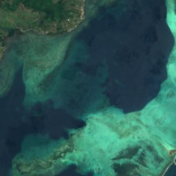
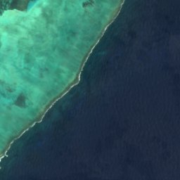
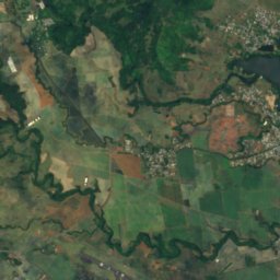
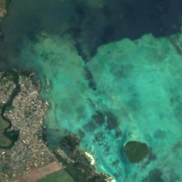
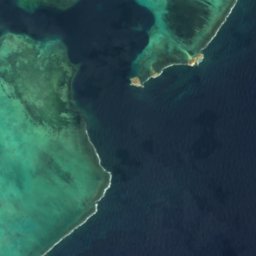

القمر الصناعي: Sentinel-2 cloudless 2016 من EOX IT Services GmbH · CC BY 4.0 · يتضمن بيانات Copernicus Sentinel (2016) معدّلة
Île de la Passe
Bois des Amourettes, Grand Port
القائمة الكاملة: الجزر (28)
- جزيرة موريشيوس
- Amber Island
- Barkly Island
- Brocus Island
- Case Noyale
- Diamant Reef
- Fever Island
- Gunner's Quoin
- Île aux Aigrettes
- Île aux Bénitiers
- Île aux Cerfs
- Île aux Fouquets
- Île aux Tonneliers
- Île Chat
- Île de la Passe
- Île Plate
- Île Ronde
- Ilot Bacouas
- Îlot Gabriel
- Lafond Island
- Mapu Patch
- Matapan Island
- Mouchoir Rouge
- Nab Reef
- Pointe Bernache
- Sandringham Reef
- The Blinder
- Vacoas-Phoenix (Mauritius)
الأنهار
الأنهار في موريشيوس




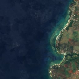
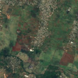
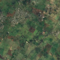
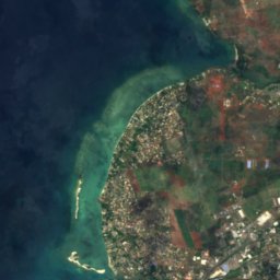
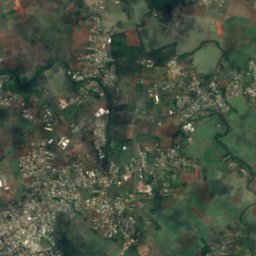
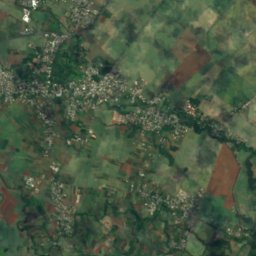


القمر الصناعي: Sentinel-2 cloudless 2016 من EOX IT Services GmbH · CC BY 4.0 · يتضمن بيانات Copernicus Sentinel (2016) معدّلة
Rivière du Tombeau
Arsenal, Pamplemousses