本文へスキップ
旅先
天気と気候
自然
アウトドア
文化
イベント
空とライブ
自然

モーリシャスの水辺、氷河、原野

湖、滝、氷河、国立公園、山小屋。それぞれの場所、規模、周辺の天気を掲載。

湖4か所(個別ページあり)
滝6か所(個別ページあり)
国立公園2か所(個別ページあり)
ビーチ8か所(個別ページあり)
Tamarind Falls
写真: Z thomas · CC BY-SA 4.0 · Wikimedia Commonsこの写真を報告 · リンクのみ、保存なし
湖

モーリシャスの湖

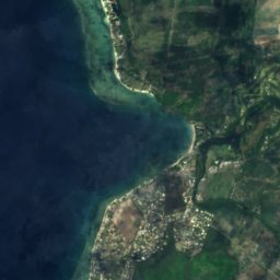
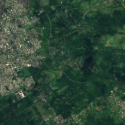
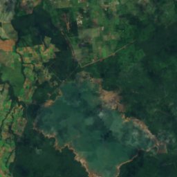
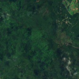
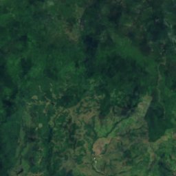
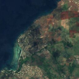
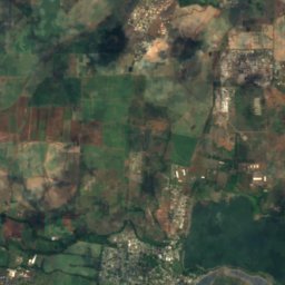
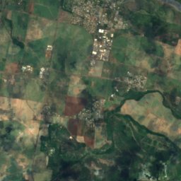
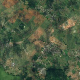
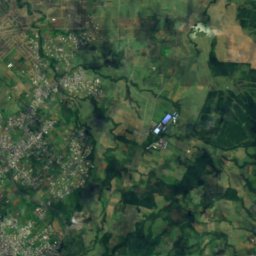
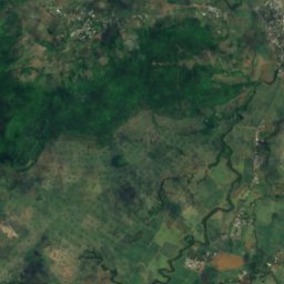
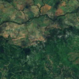
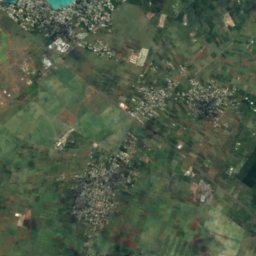
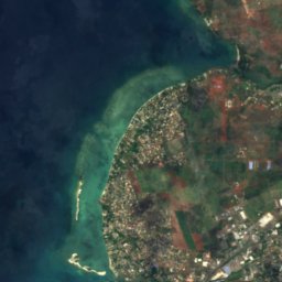
衛星: Sentinel-2 cloudless 2016(EOX IT Services GmbH) · CC BY 4.0 · 改変したCopernicus Sentinelデータ(2016年)を含みます

Mare aux Vacoas

Curepipe, Plaines Wilhems
2.6 km²
Mare aux Vacoas
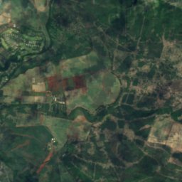
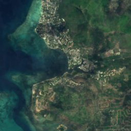
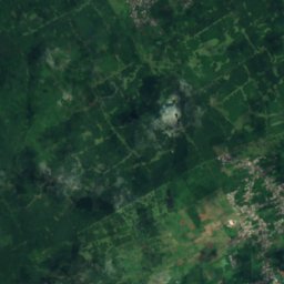
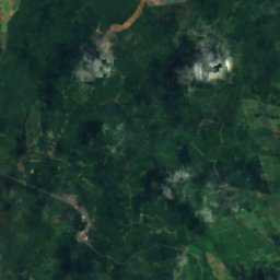
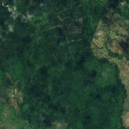
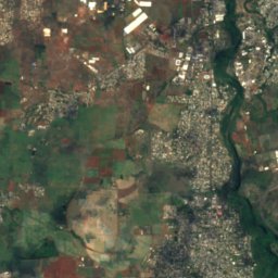
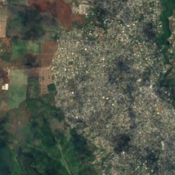
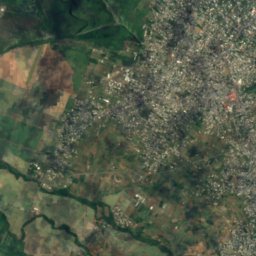
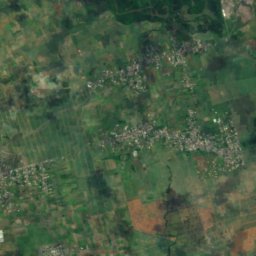
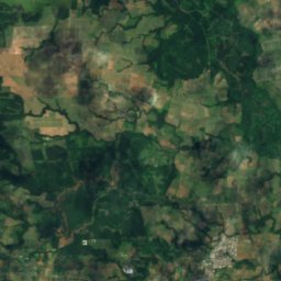
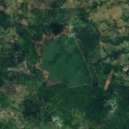
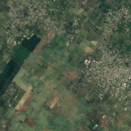
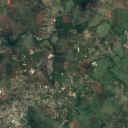
衛星: Sentinel-2 cloudless 2016(EOX IT Services GmbH) · CC BY 4.0 · 改変したCopernicus Sentinelデータ(2016年)を含みます

Ganga Talao

Grand Bois, Savanne
700 m

Ganga Talao
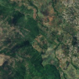
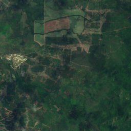
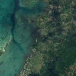
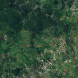
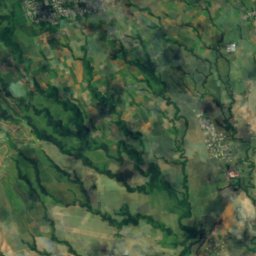
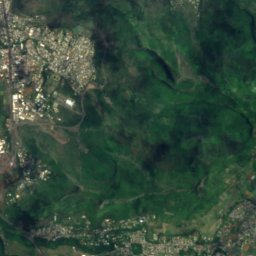
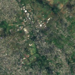
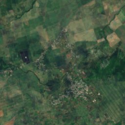
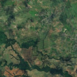
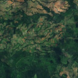
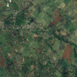
衛星: Sentinel-2 cloudless 2016(EOX IT Services GmbH) · CC BY 4.0 · 改変したCopernicus Sentinelデータ(2016年)を含みます

La Ferme Reservoir

Bambous, Black River
La Ferme Reservoir
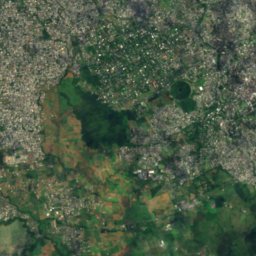
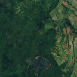
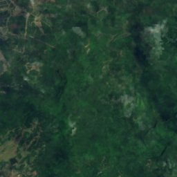
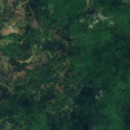
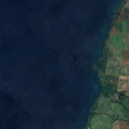
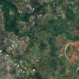
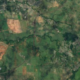
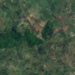
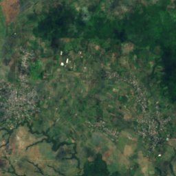
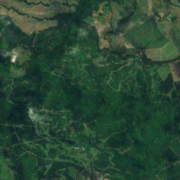
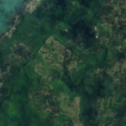
衛星: Sentinel-2 cloudless 2016(EOX IT Services GmbH) · CC BY 4.0 · 改変したCopernicus Sentinelデータ(2016年)を含みます

Mare Longue Reservoir

Chamarel, Black River
Mare Longue Reservoir
滝

モーリシャスの滝

Tamarind Falls
写真: Z thomas · CC BY-SA 4.0 · Wikimedia Commonsこの写真を報告 · リンクのみ、保存なし

Tamarind Falls

Vacoas, Plaines Wilhems
落差250 m
Tamarind Falls
Rochester Falls
写真: Maral10 · Public domain · Wikimedia Commonsこの写真を報告 · リンクのみ、保存なし

Rochester Falls

Surinam, Savanne
落差10 m
Rochester Falls
Chamarel Falls
写真: Martin Falbisoner · CC BY-SA 4.0 · Wikimedia Commonsこの写真を報告 · リンクのみ、保存なし

Chamarel Falls

Chamarel, Black River
255 m
Chamarel Falls
Mare aux Joncs
写真: Ludovic Lubeigt from Mauritius · CC BY-SA 2.0 · Wikimedia Commonsこの写真を報告 · リンクのみ、保存なし

Mare aux Joncs

Chamarel, Black River
Mare aux Joncs
Alexandra Falls
写真: Bertahan Luxing · CC BY 2.0 · Wikimedia Commonsこの写真を報告 · リンクのみ、保存なし

Alexandra Falls

Chamouny, Savanne
Alexandra Falls
衛星: Sentinel-2 cloudless 2016(EOX IT Services GmbH) · CC BY 4.0 · 改変したCopernicus Sentinelデータ(2016年)を含みます

Cascade Diamamouve

Montagne Blanche, Moka
262 m
Cascade Diamamouve
国立公園

モーリシャスの国立公園

ブラックリバー渓谷国立公園
写真: Mauritiustrip · Public domain · Wikimedia Commonsこの写真を報告 · リンクのみ、保存なし

ブラックリバー渓谷国立公園

Chamarel, Black River
66 km²
ブラックリバー渓谷国立公園
Bras d'Eau National Park
写真: S Molteno · CC BY-SA 4.0 · Wikimedia Commonsこの写真を報告 · リンクのみ、保存なし

Bras d'Eau National Park

Poste de Flacq, Flacq
5 km²
Bras d'Eau National Park
ビーチ

モーリシャスのビーチ

La Preneuse
写真: Contrarianmind · CC BY-SA 3.0 · Wikimedia Commonsこの写真を報告 · リンクのみ、保存なし

La Preneuse

Grande Rivière Noire, Black River
La Preneuse
Flic-en-Flac beach
写真: Benoît Prieur · CC0 · Wikimedia Commonsこの写真を報告 · リンクのみ、保存なし

Flic-en-Flac beach

Flic-en-Flac, Black River
Flic-en-Flac beach
Gris Gris Beach
写真: Hansueli Krapf · CC BY-SA 3.0 · Wikimedia Commonsこの写真を報告 · リンクのみ、保存なし

Gris Gris Beach

Souillac, Savanne
Gris Gris Beach
La Cuvette Beach
写真: ZoschH · CC BY-SA 4.0 · Wikimedia Commonsこの写真を報告 · リンクのみ、保存なし

La Cuvette Beach

Grand Baie, Rivière du Rempart
La Cuvette Beach
Mon Choisy Public Beach
写真: Ifeatu Nnaobi · CC BY-SA 4.0 · Wikimedia Commonsこの写真を報告 · リンクのみ、保存なし

Mon Choisy Public Beach

Trou-aux-Biches, Pamplemousses
Mon Choisy Public Beach
Pointe d’Esny Beach
写真: Z thomas · CC BY-SA 4.0 · Wikimedia Commonsこの写真を報告 · リンクのみ、保存なし

Pointe d’Esny Beach

Beau Vallon, Grand Port
Pointe d’Esny Beach
Poste Lafayette Public Beach
写真: Hansueli Krapf · CC BY-SA 3.0 · Wikimedia Commonsこの写真を報告 · リンクのみ、保存なし

Poste Lafayette Public Beach

Poste de Flacq, Flacq
Poste Lafayette Public Beach
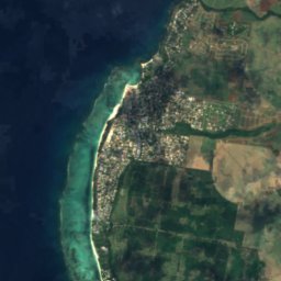
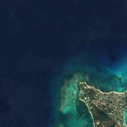
衛星: Sentinel-2 cloudless 2016(EOX IT Services GmbH) · CC BY 4.0 · 改変したCopernicus Sentinelデータ(2016年)を含みます

Mont Choisy

Trou-aux-Biches, Pamplemousses
Mont Choisy
島

モーリシャスの島

モーリシャス島
写真: Kikibelux · CC BY-SA 3.0 · Wikimedia Commonsこの写真を報告 · リンクのみ、保存なし

モーリシャス島

Dubreuil, Moka
モーリシャス島
ロンド島
写真: Algonkins (https://lv.wikipedia.org/wiki/Dalībnieks:Algonkins) · Public domain · Wikimedia Commonsこの写真を報告 · リンクのみ、保存なし

ロンド島

Grand Gaube, Rivière du Rempart
280 m
ロンド島
Île aux Cerfs
写真: Arne Müseler / www.arne-mueseler.com · CC BY-SA 3.0 de · Wikimedia Commonsこの写真を報告 · リンクのみ、保存なし

Île aux Cerfs

Grande Rivière Sud Est, Flacq
Île aux Cerfs
Île aux Fouquets
写真: carrotmadman6 from Mauritius · CC BY 2.0 · Wikimedia Commonsこの写真を報告 · リンクのみ、保存なし

Île aux Fouquets

Bois des Amourettes, Grand Port
Île aux Fouquets
アンブル島
写真: mwanasimba from La Réunion · CC BY-SA 2.0 · Wikimedia Commonsこの写真を報告 · リンクのみ、保存なし

アンブル島

Poudre d’Or, Rivière du Rempart
アンブル島
Île aux Bénitiers
写真: Lukas von Daeniken from Schweiz · CC BY-SA 2.0 · Wikimedia Commonsこの写真を報告 · リンクのみ、保存なし

Île aux Bénitiers

Petite Case Noyale, Black River
Île aux Bénitiers
Îlot Gabriel
写真: Algonkins · Public domain · Wikimedia Commonsこの写真を報告 · リンクのみ、保存なし

Îlot Gabriel

Calodyne, Rivière du Rempart
Îlot Gabriel
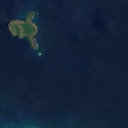
衛星: Sentinel-2 cloudless 2016(EOX IT Services GmbH) · CC BY 4.0 · 改変したCopernicus Sentinelデータ(2016年)を含みます

Île Plate

Calodyne, Rivière du Rempart
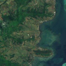
Île Plate
衛星: Sentinel-2 cloudless 2016(EOX IT Services GmbH) · CC BY 4.0 · 改変したCopernicus Sentinelデータ(2016年)を含みます

Île de la Passe

Bois des Amourettes, Grand Port
Île de la Passe
全リスト:島28か所
川

モーリシャスの川

Grand River South East
写真: Karsten Ratzke · CC0 · Wikimedia Commonsこの写真を報告 · リンクのみ、保存なし

Grand River South East

Grande Rivière Sud Est, Flacq
Grand River South East
衛星: Sentinel-2 cloudless 2016(EOX IT Services GmbH) · CC BY 4.0 · 改変したCopernicus Sentinelデータ(2016年)を含みます

Rivière du Tombeau

Arsenal, Pamplemousses
Rivière du Tombeau