



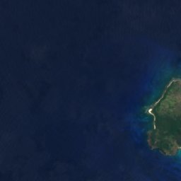
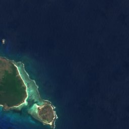
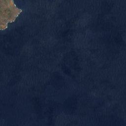

















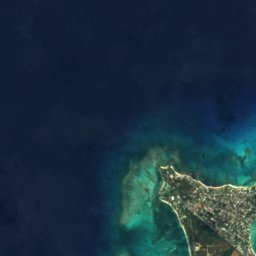
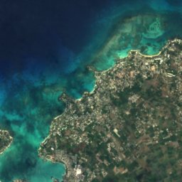
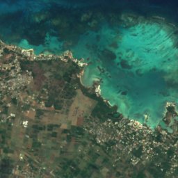
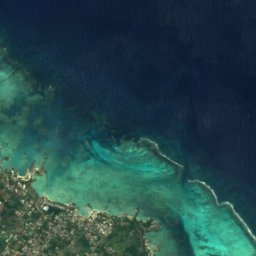
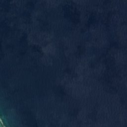



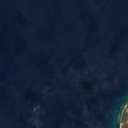
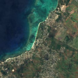
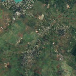
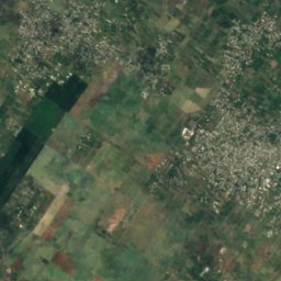
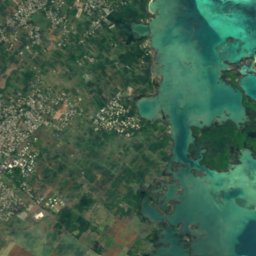
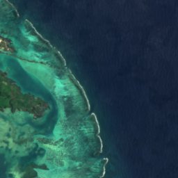



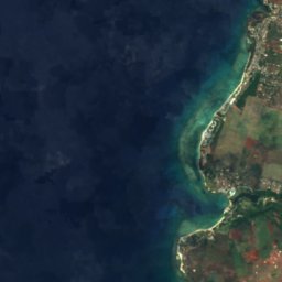
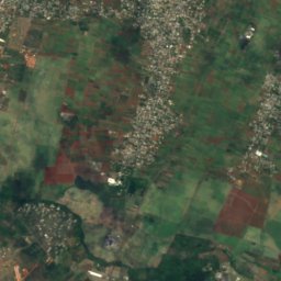
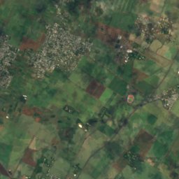
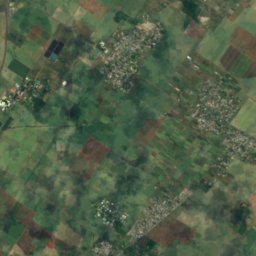
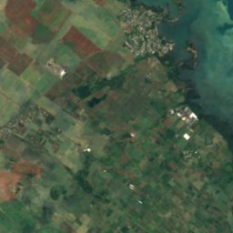
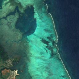


Satellite: Sentinel-2 cloudless 2016 by EOX IT Services GmbH · CC BY 4.0 · Contains modified Copernicus Sentinel data 2016

Photo: mwanasimba from La Réunion · CC BY-SA 2.0 · Wikimedia Commons
Amber IslandReport this photo · linked, not stored
Amber IslandAmber IslandReport this photo · linked, not stored

Photo: ZoschH · CC BY-SA 4.0 · Wikimedia Commons
La Cuvette BeachReport this photo · linked, not stored
La Cuvette BeachLa Cuvette BeachReport this photo · linked, not stored
IslandGrand Gaube, Rivière du Rempart
Mapu Patch
IslandBest Jul · Sep–Oct
Elevation–above sea level
Area–surface
Nearest townGrand Gaube2.6 km
19.98° S, 57.67° EUTC+4 · Mauritius Standard Time
When to goGrand Gaube · weather score
Best timeJul · Sep–Oct
October: high / low24° / 22°
Island
Mapu Patch in brief
Mapu Patch is an island in Grand Gaube, Rivière du Rempart, Mauritius.
The nearest town in the atlas is Grand Gaube, 2.6 km to the S, where the weather is best in July, September and October.
Weather nearby now
Forecast for Grand Gaube24°
Partly cloudy now
Today
22 Oct
24°
24°
Fri
23 Oct
25°
23°
1 mm
Sat
24 Oct
25°
24°
Sun
25 Oct
25°
22°
1 mm
Mon
26 Oct
24°
23°
2 mm
Model run 00:00 UTCRefreshed several times a day
When to go
Climate of Grand GaubeThe best months around Mapu Patch
Month score in Grand Gaube
Comfort, dry days and sunshine · out of 10056
Jan
58
Feb
56
Mar
60
Apr
75
May
80
Jun
88
Jul
88
Aug
90
Sep
92
Oct
82
Nov
67
Dec
Map
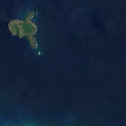
Mapu Patch from above
Nature nearbyAll of Mauritius
Satellite: Sentinel-2 cloudless 2016 by EOX IT Services GmbH · CC BY 4.0 · Contains modified Copernicus Sentinel data 2016
Satellite: Sentinel-2 cloudless 2016 by EOX IT Services GmbH · CC BY 4.0 · Contains modified Copernicus Sentinel data 2016
Satellite: Sentinel-2 cloudless 2016 by EOX IT Services GmbH · CC BY 4.0 · Contains modified Copernicus Sentinel data 2016

Photo: mwanasimba from La Réunion · CC BY-SA 2.0 · Wikimedia CommonsReport this photo · linked, not stored



Satellite: Sentinel-2 cloudless 2016 by EOX IT Services GmbH · CC BY 4.0 · Contains modified Copernicus Sentinel data 2016
Summits nearbyMountains of Mauritius


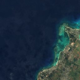
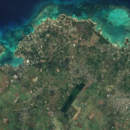
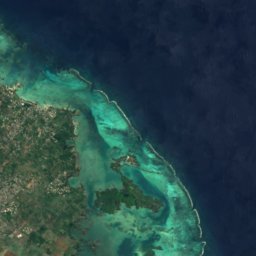


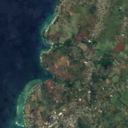
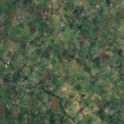
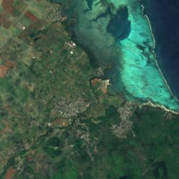
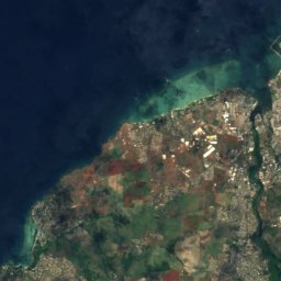
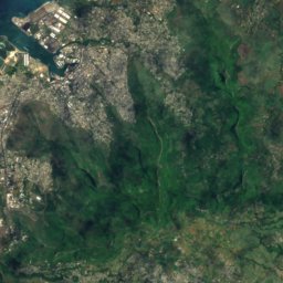
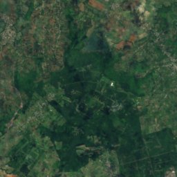
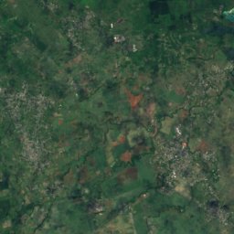
Satellite: Sentinel-2 cloudless 2016 by EOX IT Services GmbH · CC BY 4.0 · Contains modified Copernicus Sentinel data 2016
Satellite: Sentinel-2 cloudless 2016 by EOX IT Services GmbH · CC BY 4.0 · Contains modified Copernicus Sentinel data 2016
Stay nearby
Towns close by


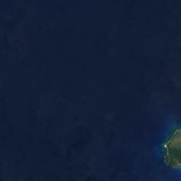
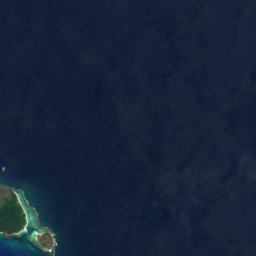
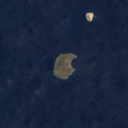


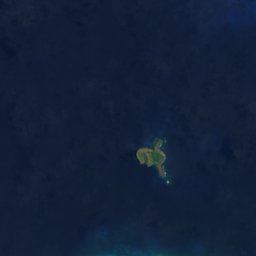

Satellite: Sentinel-2 cloudless 2016 by EOX IT Services GmbH · CC BY 4.0 · Contains modified Copernicus Sentinel data 2016
Grand Gaube
Rivière du Rempart · 2.6 km S
24°Oct high
3wet days
92score
Satellite: Sentinel-2 cloudless 2016 by EOX IT Services GmbH · CC BY 4.0 · Contains modified Copernicus Sentinel data 2016
Calodyne
Rivière du Rempart · 3.3 km SW
24°Oct high
3wet days
92score
Satellite: Sentinel-2 cloudless 2016 by EOX IT Services GmbH · CC BY 4.0 · Contains modified Copernicus Sentinel data 2016
Roche Terre
Rivière du Rempart · 4.5 km SW
24°Oct high
3wet days
92score
Satellite: Sentinel-2 cloudless 2016 by EOX IT Services GmbH · CC BY 4.0 · Contains modified Copernicus Sentinel data 2016
Petit Raffray
Rivière du Rempart · 6.1 km SW
24°Oct high
3wet days
92score
Around here
Grand Gaube and around
Satellite: Sentinel-2 cloudless 2016 by EOX IT Services GmbH · CC BY 4.0 · Contains modified Copernicus Sentinel data 2016
Grand Gaube
Rivière du Rempart · Mauritius
Jul · Sep–Octbest months
23°July high
10 maltitude
Nature





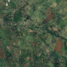
Satellite: Sentinel-2 cloudless 2016 by EOX IT Services GmbH · CC BY 4.0 · Contains modified Copernicus Sentinel data 2016
Rivière du Tombeau
River
Photo: mwanasimba from La Réunion · CC BY-SA 2.0 · Wikimedia CommonsReport this photo · linked, not stored
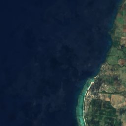
Amber Island
Island
Mountains
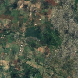
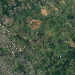
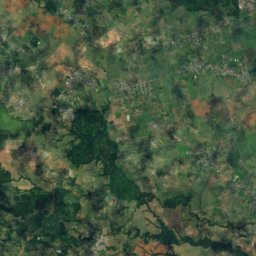
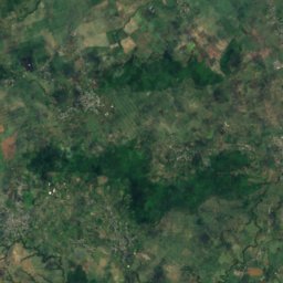
Satellite: Sentinel-2 cloudless 2016 by EOX IT Services GmbH · CC BY 4.0 · Contains modified Copernicus Sentinel data 2016
Pieter Both
820 m · Moka Range
Satellite: Sentinel-2 cloudless 2016 by EOX IT Services GmbH · CC BY 4.0 · Contains modified Copernicus Sentinel data 2016
Le Pouce
812 m · Moka Range



Satellite: Sentinel-2 cloudless 2016 by EOX IT Services GmbH · CC BY 4.0 · Contains modified Copernicus Sentinel data 2016
Corps de Garde
720 m
Museums


Satellite: Sentinel-2 cloudless 2016 by EOX IT Services GmbH · CC BY 4.0 · Contains modified Copernicus Sentinel data 2016