Przyroda
Woda, lód i dzika przyroda Mauritiusa
Jeziora, wodospady, lodowce, parki narodowe i schroniska górskie – każde z położeniem, wielkością i pogodą w pobliskich miejscowościach.
Jeziora4z własną stroną
Wodospady6z własną stroną
Parki narodowe2z własną stroną
Plaże8z własną stroną

Zdjęcie: Z thomas · CC BY-SA 4.0 · Wikimedia CommonsZgłoś to zdjęcie · wyświetlane przez odnośnik, nie kopiowane
Jeziora
Jeziora Mauritiusa
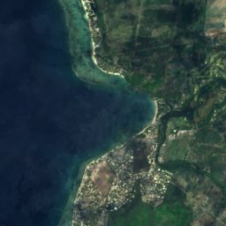
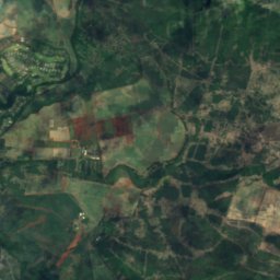
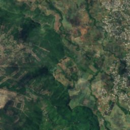
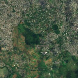
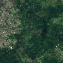
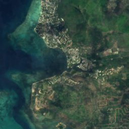
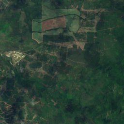
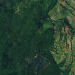
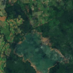
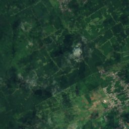
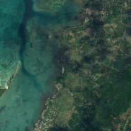
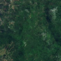
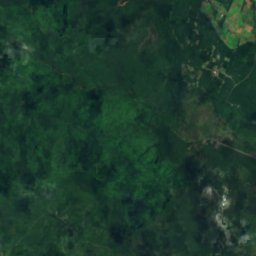
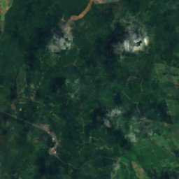
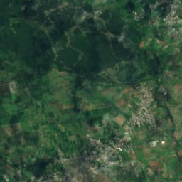
Satelita: Sentinel-2 cloudless 2016 – EOX IT Services GmbH · CC BY 4.0 · Zawiera zmodyfikowane dane Copernicus Sentinel (2016)
Mare aux Vacoas
Curepipe, Plaines Wilhems
2,6 km²
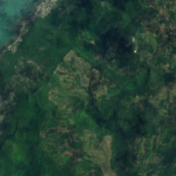
Satelita: Sentinel-2 cloudless 2016 – EOX IT Services GmbH · CC BY 4.0 · Zawiera zmodyfikowane dane Copernicus Sentinel (2016)
Grand Bassin
Grand Bois, Savanne
700 m
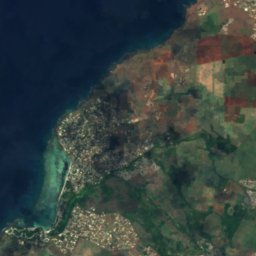
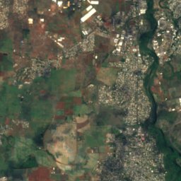
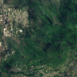

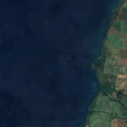
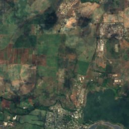
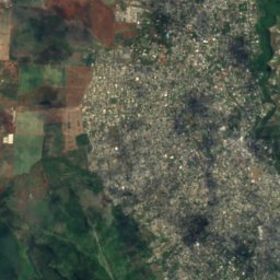
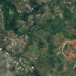
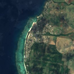
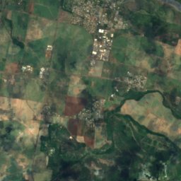
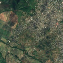
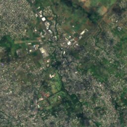
Satelita: Sentinel-2 cloudless 2016 – EOX IT Services GmbH · CC BY 4.0 · Zawiera zmodyfikowane dane Copernicus Sentinel (2016)
La Ferme Reservoir
Bambous, Black River
Satelita: Sentinel-2 cloudless 2016 – EOX IT Services GmbH · CC BY 4.0 · Zawiera zmodyfikowane dane Copernicus Sentinel (2016)
Mare Longue Reservoir
Chamarel, Black River
Wodospady
Wodospady Mauritiusa

Zdjęcie: Z thomas · CC BY-SA 4.0 · Wikimedia CommonsZgłoś to zdjęcie · wyświetlane przez odnośnik, nie kopiowane
Chutes de Tamarin
Vacoas, Plaines Wilhems
wysokość 250 m

Zdjęcie: Maral10 · Public domain · Wikimedia CommonsZgłoś to zdjęcie · wyświetlane przez odnośnik, nie kopiowane
Cascade de Rochester
Surinam, Savanne
wysokość 10 m

Zdjęcie: Martin Falbisoner · CC BY-SA 4.0 · Wikimedia CommonsZgłoś to zdjęcie · wyświetlane przez odnośnik, nie kopiowane
Cascade de Chamarel
Chamarel, Black River
255 m

Zdjęcie: Ludovic Lubeigt from Mauritius · CC BY-SA 2.0 · Wikimedia CommonsZgłoś to zdjęcie · wyświetlane przez odnośnik, nie kopiowane
Mare aux Joncs
Chamarel, Black River

Zdjęcie: Bertahan Luxing · CC BY 2.0 · Wikimedia CommonsZgłoś to zdjęcie · wyświetlane przez odnośnik, nie kopiowane
Alexandra Falls
Chamouny, Savanne
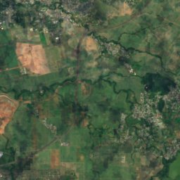
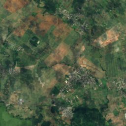
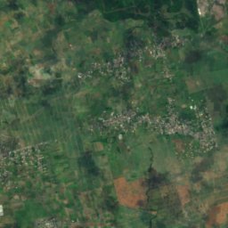
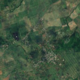
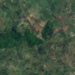
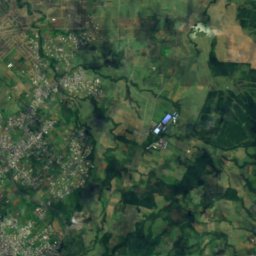
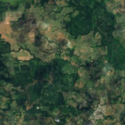
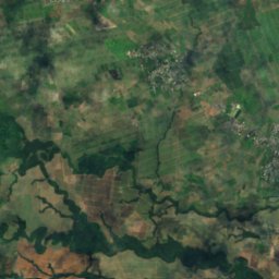
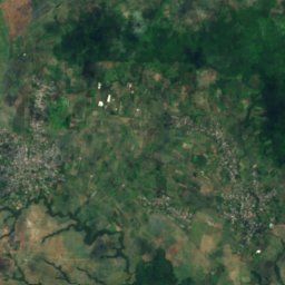
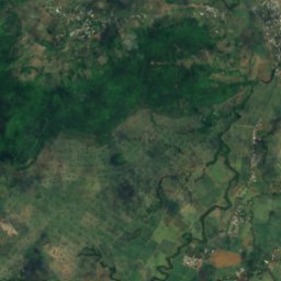
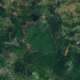
Satelita: Sentinel-2 cloudless 2016 – EOX IT Services GmbH · CC BY 4.0 · Zawiera zmodyfikowane dane Copernicus Sentinel (2016)
Cascade Diamamouve
Montagne Blanche, Moka
262 m
Parki narodowe
Parki narodowe Mauritiusa

Zdjęcie: Mauritiustrip · Public domain · Wikimedia CommonsZgłoś to zdjęcie · wyświetlane przez odnośnik, nie kopiowane
Park Narodowy Black River Gorges
Chamarel, Black River
66 km²

Zdjęcie: S Molteno · CC BY-SA 4.0 · Wikimedia CommonsZgłoś to zdjęcie · wyświetlane przez odnośnik, nie kopiowane
Parc national de Bras d'Eau
Poste de Flacq, Flacq
5 km²
Plaże
Plaże Mauritiusa

Zdjęcie: Contrarianmind · CC BY-SA 3.0 · Wikimedia CommonsZgłoś to zdjęcie · wyświetlane przez odnośnik, nie kopiowane
La Preneuse
Grande Rivière Noire, Black River

Zdjęcie: Benoît Prieur · CC0 · Wikimedia CommonsZgłoś to zdjęcie · wyświetlane przez odnośnik, nie kopiowane
Plage de Flic en Flac
Flic-en-Flac, Black River

Zdjęcie: Hansueli Krapf · CC BY-SA 3.0 · Wikimedia CommonsZgłoś to zdjęcie · wyświetlane przez odnośnik, nie kopiowane
Gris Gris Beach
Souillac, Savanne

Zdjęcie: ZoschH · CC BY-SA 4.0 · Wikimedia CommonsZgłoś to zdjęcie · wyświetlane przez odnośnik, nie kopiowane
La Cuvette Beach
Grand Baie, Rivière du Rempart

Zdjęcie: Ifeatu Nnaobi · CC BY-SA 4.0 · Wikimedia CommonsZgłoś to zdjęcie · wyświetlane przez odnośnik, nie kopiowane
Mon Choisy Public Beach
Trou-aux-Biches, Pamplemousses

Zdjęcie: Z thomas · CC BY-SA 4.0 · Wikimedia CommonsZgłoś to zdjęcie · wyświetlane przez odnośnik, nie kopiowane
Pointe d’Esny Beach
Beau Vallon, Grand Port

Zdjęcie: Hansueli Krapf · CC BY-SA 3.0 · Wikimedia CommonsZgłoś to zdjęcie · wyświetlane przez odnośnik, nie kopiowane
Poste Lafayette Public Beach
Poste de Flacq, Flacq

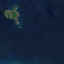


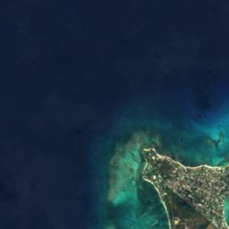
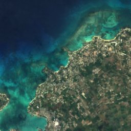
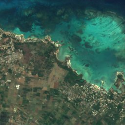
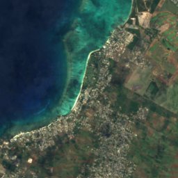
Satelita: Sentinel-2 cloudless 2016 – EOX IT Services GmbH · CC BY 4.0 · Zawiera zmodyfikowane dane Copernicus Sentinel (2016)
Plage du mont Choisy
Trou-aux-Biches, Pamplemousses
Wyspy
Wyspy Mauritiusa

Zdjęcie: Kikibelux · CC BY-SA 3.0 · Wikimedia CommonsZgłoś to zdjęcie · wyświetlane przez odnośnik, nie kopiowane
Mauritius
Dubreuil, Moka

Zdjęcie: Algonkins (https://lv.wikipedia.org/wiki/Dalībnieks:Algonkins) · Public domain · Wikimedia CommonsZgłoś to zdjęcie · wyświetlane przez odnośnik, nie kopiowane
Round Island
Grand Gaube, Rivière du Rempart
280 m

Zdjęcie: Arne Müseler / www.arne-mueseler.com · CC BY-SA 3.0 de · Wikimedia CommonsZgłoś to zdjęcie · wyświetlane przez odnośnik, nie kopiowane
Île aux Cerfs
Grande Rivière Sud Est, Flacq

Zdjęcie: carrotmadman6 from Mauritius · CC BY 2.0 · Wikimedia CommonsZgłoś to zdjęcie · wyświetlane przez odnośnik, nie kopiowane
Île aux Fouquets
Bois des Amourettes, Grand Port

Zdjęcie: mwanasimba from La Réunion · CC BY-SA 2.0 · Wikimedia CommonsZgłoś to zdjęcie · wyświetlane przez odnośnik, nie kopiowane
Île d'Ambre
Poudre d’Or, Rivière du Rempart

Zdjęcie: Lukas von Daeniken from Schweiz · CC BY-SA 2.0 · Wikimedia CommonsZgłoś to zdjęcie · wyświetlane przez odnośnik, nie kopiowane
Île aux Bénitiers
Petite Case Noyale, Black River

Zdjęcie: Algonkins · Public domain · Wikimedia CommonsZgłoś to zdjęcie · wyświetlane przez odnośnik, nie kopiowane
Îlot Gabriel
Calodyne, Rivière du Rempart

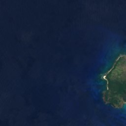
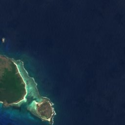

Satelita: Sentinel-2 cloudless 2016 – EOX IT Services GmbH · CC BY 4.0 · Zawiera zmodyfikowane dane Copernicus Sentinel (2016)
Île Plate
Calodyne, Rivière du Rempart
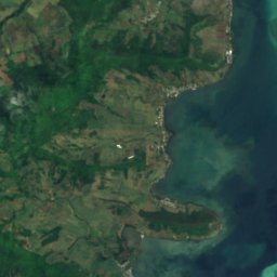
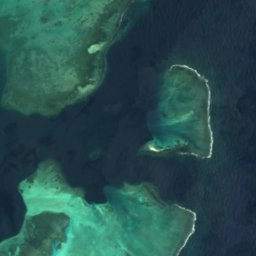
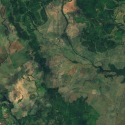
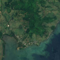
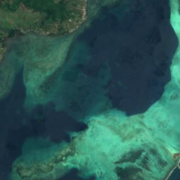
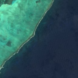
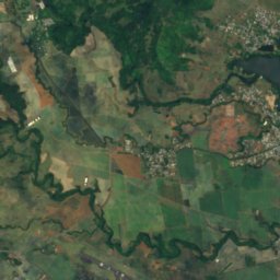
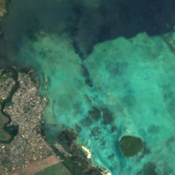
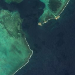
Satelita: Sentinel-2 cloudless 2016 – EOX IT Services GmbH · CC BY 4.0 · Zawiera zmodyfikowane dane Copernicus Sentinel (2016)
Île de la Passe
Bois des Amourettes, Grand Port
Pełna lista (28): wyspy
- Barkly Island
- Case Noyale
- Coin de Mire
- Diamant Reef
- Fever Island
- Île aux Aigrettes
- Île aux Bénitiers
- Île aux Cerfs
- Île aux Fouquets
- Île aux Tonneliers
- Île Chat, Grand Port
- Île d'Ambre
- Île de la Passe
- Île Plate
- Ilot Bacouas
- Îlot Brocus
- Îlot Gabriel
- Îlot Lafond
- Mapu Patch
- Matapan Island
- Mauritius
- Mouchoir Rouge
- Nab Reef
- Pointe Bernache
- Round Island
- Sandringham Reef
- The Blinder
- Vacoas-Phoenix (Mauritius)
Rzeki
Rzeki Mauritiusa

Zdjęcie: Karsten Ratzke · CC0 · Wikimedia CommonsZgłoś to zdjęcie · wyświetlane przez odnośnik, nie kopiowane
Grand River South East
Grande Rivière Sud Est, Flacq


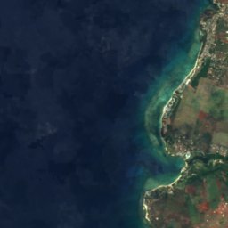
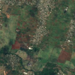
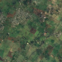
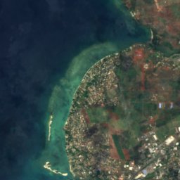


Satelita: Sentinel-2 cloudless 2016 – EOX IT Services GmbH · CC BY 4.0 · Zawiera zmodyfikowane dane Copernicus Sentinel (2016)
Rivière du Tombeau
Arsenal, Pamplemousses