Satellite: Sentinel-2 cloudless 2016 by EOX IT Services GmbH · CC BY 4.0 · Contains modified Copernicus Sentinel data 2016
IslandSt. John's, Newfoundland and Labrador
Ruby Rock
IslandBest Jul–Sep
Elevation–above sea level
Area–surface
Nearest townSt. John's2.1 km
47.57° N, 52.68° WUTC−2:30 · Newfoundland Daylight Time
When to goSt. John's · weather score
Best timeJul–Sep
October: high / low11° / 7°
Island
Ruby Rock in brief
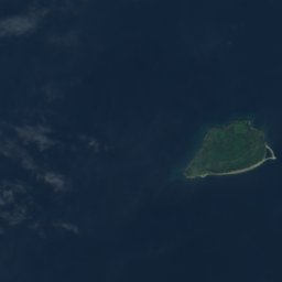
Ruby Rock is an island in St. John's, Newfoundland and Labrador, Canada.
The nearest town is St. John's, 2.1 km to the W, where the weather is best in July, August and September.
Weather nearby now
Forecast for St. John's4°
Rain now
Today
23 Oct
5°
4°
10 mm
Sat
24 Oct
5°
4°
10 mm
Sun
25 Oct
8°
2°
Mon
26 Oct
13°
6°
Tue
27 Oct
8°
3°
2 mm
Model run 12:00 UTCRefreshed several times a day
Map
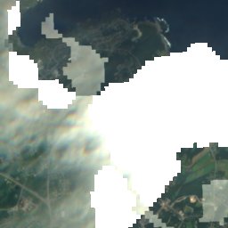
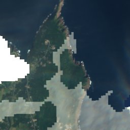
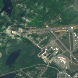
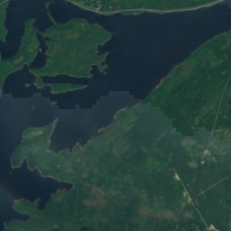
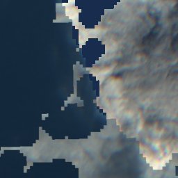
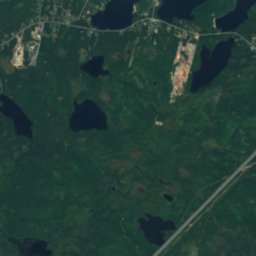
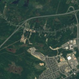
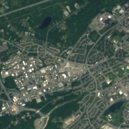
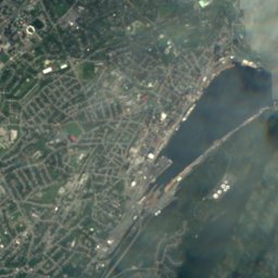
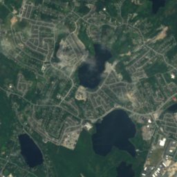
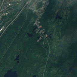
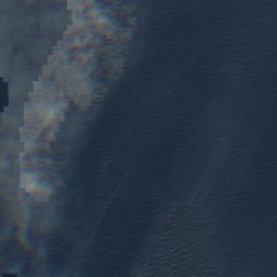
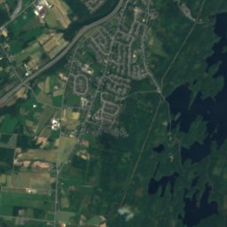
Ruby Rock from above
Nature nearbyAll of Canada
Satellite: Sentinel-2 cloudless 2016 by EOX IT Services GmbH · CC BY 4.0 · Contains modified Copernicus Sentinel data 2016
Satellite: Sentinel-2 cloudless 2016 by EOX IT Services GmbH · CC BY 4.0 · Contains modified Copernicus Sentinel data 2016
Satellite: Sentinel-2 cloudless 2016 by EOX IT Services GmbH · CC BY 4.0 · Contains modified Copernicus Sentinel data 2016
Satellite: Sentinel-2 cloudless 2016 by EOX IT Services GmbH · CC BY 4.0 · Contains modified Copernicus Sentinel data 2016
Satellite: Sentinel-2 cloudless 2016 by EOX IT Services GmbH · CC BY 4.0 · Contains modified Copernicus Sentinel data 2016
Satellite: Sentinel-2 cloudless 2016 by EOX IT Services GmbH · CC BY 4.0 · Contains modified Copernicus Sentinel data 2016
Summits nearbyMountains of Canada
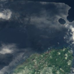
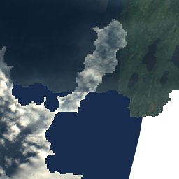
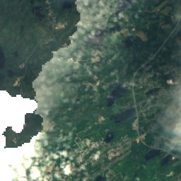
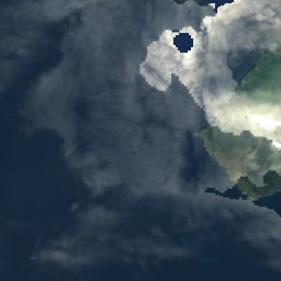
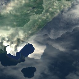
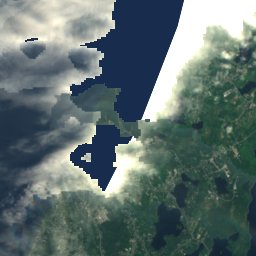
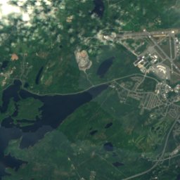

Satellite: Sentinel-2 cloudless 2016 by EOX IT Services GmbH · CC BY 4.0 · Contains modified Copernicus Sentinel data 2016
Stay nearby
Towns close by


Logy Bay–Middle Cove–Outer Cove
Newfoundland and Labrador · 7.4 km N
10°Oct high
13wet days
22score

Around here
St. John's and around
Nature
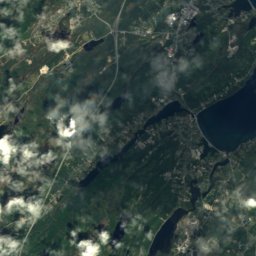
Satellite: Sentinel-2 cloudless 2016 by EOX IT Services GmbH · CC BY 4.0 · Contains modified Copernicus Sentinel data 2016
Quidi Vidi Lake, Newfoundland and Labrador
Lake · 17 m
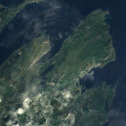
Satellite: Sentinel-2 cloudless 2016 by EOX IT Services GmbH · CC BY 4.0 · Contains modified Copernicus Sentinel data 2016
Virginia Lake, Newfoundland and Labrador
Lake
Satellite: Sentinel-2 cloudless 2016 by EOX IT Services GmbH · CC BY 4.0 · Contains modified Copernicus Sentinel data 2016
Sheep Pen Gully
Lake
Mountains
Satellite: Sentinel-2 cloudless 2016 by EOX IT Services GmbH · CC BY 4.0 · Contains modified Copernicus Sentinel data 2016
Mother Allans Rock
170 m
Heritage

Photo: Paul from Hacketts Cove, Canada · CC BY-SA 4.0 · Wikimedia CommonsReport this photo · linked, not stored
Basilica of St. John the Baptist
national historic site of Canada · 1850

Bank of British North America Building
national historic site of Canada · 1835


