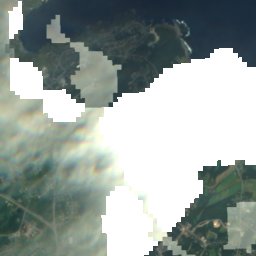
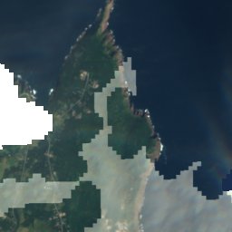
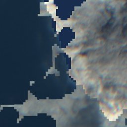
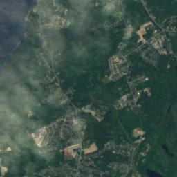
Satellite : Sentinel-2 cloudless 2016 par EOX IT Services GmbH · CC BY 4.0 · Contient des données Copernicus Sentinel modifiées (2016)
ÎleSt. John's, Newfoundland and Labrador
Ruby Rock
ÎleIdéal : juil.–sept.
Altitude–au-dessus de la mer
Superficie–surface totale
Localité la plus procheSt. John's2,1 km
47,57° N, 52,68° OUTC−2:30 · heure d’été de Terre-Neuve
Quand partirSt. John's · indice météo
Meilleure périodejuil.–sept.
octobre : max. / min.11° / 7°
Île
Ruby Rock en bref
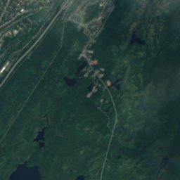
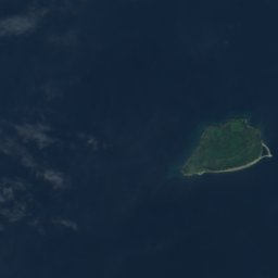
Ruby Rock est une île située au Canada (Newfoundland and Labrador), près de St. John's.
La localité la plus proche est St. John's, à 2,1 km à l'ouest ; c'est en juillet, août et septembre que le temps y est le plus agréable.
Météo à proximité
Prévisions pour St. John's4°
Partiellement nuageux en ce moment
Aujourd'hui
24 oct.
5°
4°
4 mm
dim.
25 oct.
9°
2°
lun.
26 oct.
13°
7°
mar.
27 oct.
8°
3°
2 mm
mer.
28 oct.
3°
1°
1 mm
Run du modèle 12:00 UTCMises à jour plusieurs fois par jour
Carte
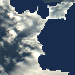
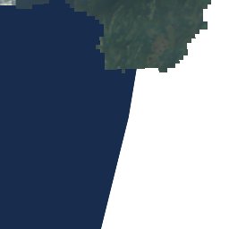
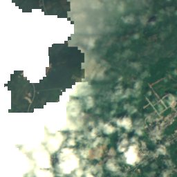
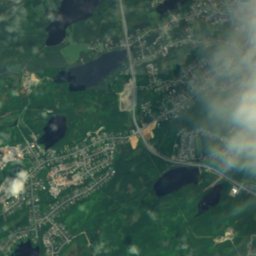
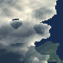
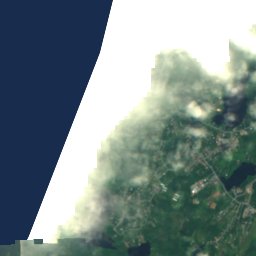
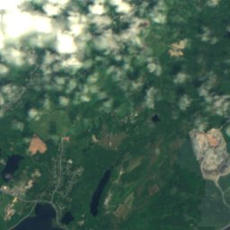
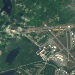
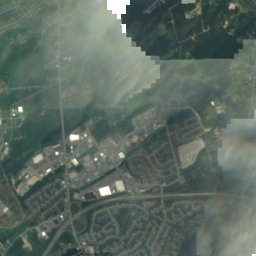
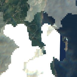
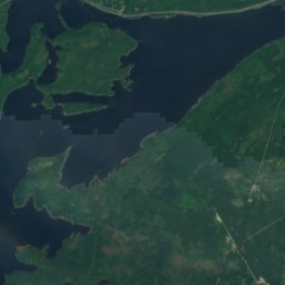
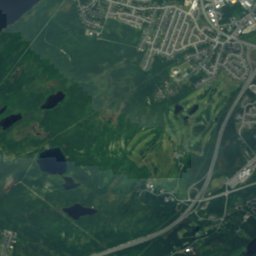
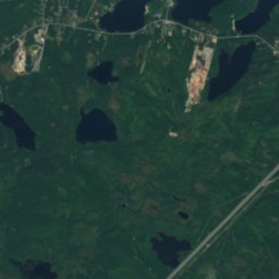
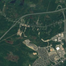
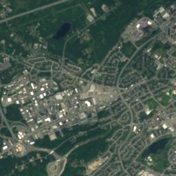
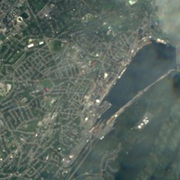
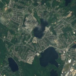
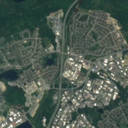
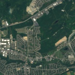
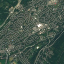
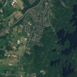
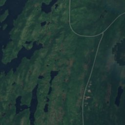
Ruby Rock vu du ciel
Nature à proximitéTout le pays
Satellite : Sentinel-2 cloudless 2016 par EOX IT Services GmbH · CC BY 4.0 · Contient des données Copernicus Sentinel modifiées (2016)
Satellite : Sentinel-2 cloudless 2016 par EOX IT Services GmbH · CC BY 4.0 · Contient des données Copernicus Sentinel modifiées (2016)
Satellite : Sentinel-2 cloudless 2016 par EOX IT Services GmbH · CC BY 4.0 · Contient des données Copernicus Sentinel modifiées (2016)
Satellite : Sentinel-2 cloudless 2016 par EOX IT Services GmbH · CC BY 4.0 · Contient des données Copernicus Sentinel modifiées (2016)
Satellite : Sentinel-2 cloudless 2016 par EOX IT Services GmbH · CC BY 4.0 · Contient des données Copernicus Sentinel modifiées (2016)
Satellite : Sentinel-2 cloudless 2016 par EOX IT Services GmbH · CC BY 4.0 · Contient des données Copernicus Sentinel modifiées (2016)
Sommets à proximitéMontagnes du Canada
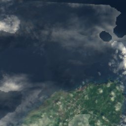
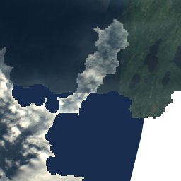
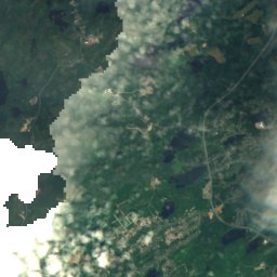
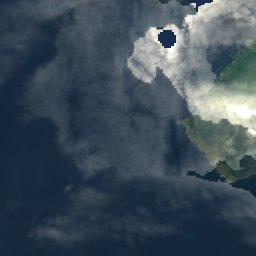
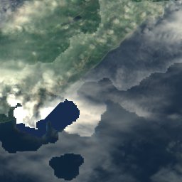
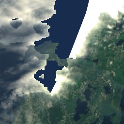
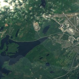

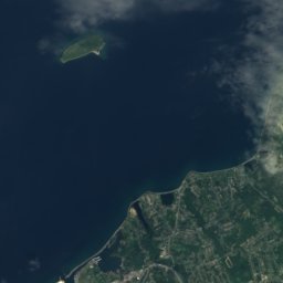
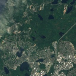
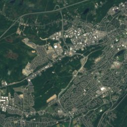
Satellite : Sentinel-2 cloudless 2016 par EOX IT Services GmbH · CC BY 4.0 · Contient des données Copernicus Sentinel modifiées (2016)
Où dormir
Localités toutes proches

Photo : Quintin Soloviev · CC BY 4.0 · Wikimedia CommonsSignaler cette photo · affichée par lien, non copiée
St. John's
Newfoundland and Labrador · 2,1 km O
11°max. en oct.
13jours de pluie
23note

Photo : Skeezix1000 · CC BY-SA 3.0 · Wikimedia CommonsSignaler cette photo · affichée par lien, non copiée
Fort Townshend
Newfoundland and Labrador · 3,1 km O
11°max. en oct.
13jours de pluie
23note

Photo : Claxton Ray · Public domain · Wikimedia CommonsSignaler cette photo · affichée par lien, non copiée
Logy Bay–Middle Cove–Outer Cove
Newfoundland and Labrador · 7,4 km N
10°max. en oct.
13jours de pluie
22note

Photo : Quintin Soloviev · CC BY 4.0 · Wikimedia CommonsSignaler cette photo · affichée par lien, non copiée
Mount Pearl
Newfoundland and Labrador · 9,3 km SO
11°max. en oct.
13jours de pluie
22note
Aux alentours
St. John's et ses environs
Photo : Quintin Soloviev · CC BY 4.0 · Wikimedia CommonsSignaler cette photo · affichée par lien, non copiée
St. John's
Newfoundland and Labrador · Canada
juil.–sept.meilleurs mois
18°max. en juillet
35 maltitude
Nature
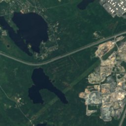
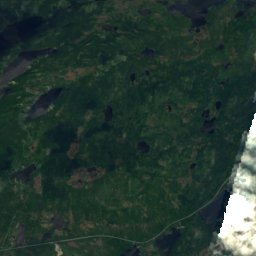
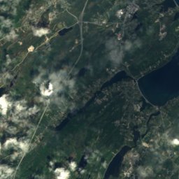
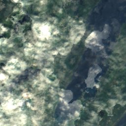
Satellite : Sentinel-2 cloudless 2016 par EOX IT Services GmbH · CC BY 4.0 · Contient des données Copernicus Sentinel modifiées (2016)
Lac Quidi Vidi
Lac · 17 m
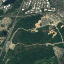
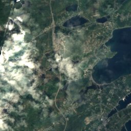
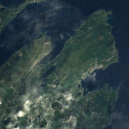
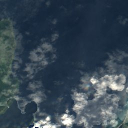
Satellite : Sentinel-2 cloudless 2016 par EOX IT Services GmbH · CC BY 4.0 · Contient des données Copernicus Sentinel modifiées (2016)
Virginia Lake, Newfoundland and Labrador
Lac
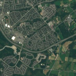
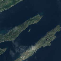
Satellite : Sentinel-2 cloudless 2016 par EOX IT Services GmbH · CC BY 4.0 · Contient des données Copernicus Sentinel modifiées (2016)
Sheep Pen Gully
Lac
Montagnes
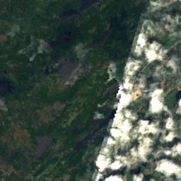
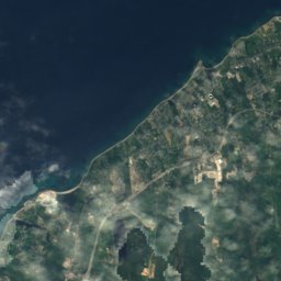
Satellite : Sentinel-2 cloudless 2016 par EOX IT Services GmbH · CC BY 4.0 · Contient des données Copernicus Sentinel modifiées (2016)
Mother Allans Rock
170 m


Patrimoine

Photo : Paul from Hacketts Cove, Canada · CC BY-SA 4.0 · Wikimedia CommonsSignaler cette photo · affichée par lien, non copiée

Basilique Saint-Jean-Baptiste de Saint-Jean
Lieu historique national du Canada · 1850

Photo : Skeezix1000 · CC BY-SA 3.0 · Wikimedia CommonsSignaler cette photo · affichée par lien, non copiée

Édifice de la Bank of British North America
Lieu historique national du Canada · 1835

Photo : SingleIntegral · CC BY-SA 3.0 · Wikimedia CommonsSignaler cette photo · affichée par lien, non copiée

Fort Amherst
Lieu historique national du Canada · 1813
Musées

Photo : David P Janes · CC BY-SA 3.0 · Wikimedia CommonsSignaler cette photo · affichée par lien, non copiée

The Rooms
Musée d'art · 2005

Photo : HJKeats · Public domain · Wikimedia CommonsSignaler cette photo · affichée par lien, non copiée

Johnson Geo Centre
2002