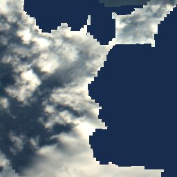
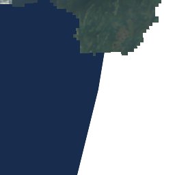
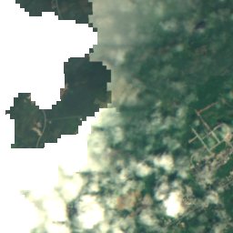
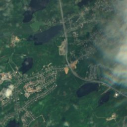
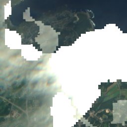
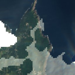
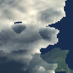
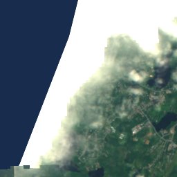
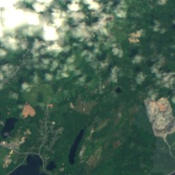
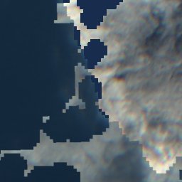
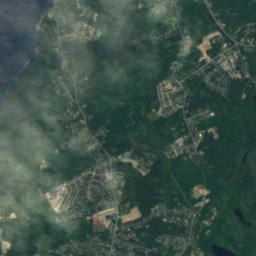
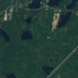
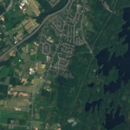
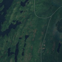
ดาวเทียม: Sentinel-2 cloudless 2016 โดย EOX IT Services GmbH · CC BY 4.0 · มีข้อมูล Copernicus Sentinel (2016) ที่ดัดแปลงแล้ว
เกาะSt. John's, Newfoundland and Labrador
Ruby Rock
เกาะดีที่สุด ก.ค.–ก.ย.
ความสูง–จากระดับน้ำทะเล
พื้นที่–พื้นที่ทั้งหมด
จุดที่ใกล้ที่สุดSt. John's2.1 km
47.57° เหนือ 52.68° ตะวันตกUTC−2:30 · เวลาออมแสงนิวฟันด์แลนด์
ช่วงที่ควรไปSt. John's · คะแนนอากาศ
ช่วงที่ดีที่สุดก.ค.–ก.ย.
ตุลาคม: สูงสุด / ต่ำสุด11° / 7°
เกาะ
Ruby Rock โดยย่อ
Ruby Rock เป็นเกาะในแคนาดา (Newfoundland and Labrador)
จุดที่ใกล้ที่สุดคือ St. John's ซึ่งอยู่ห่างออกไป 2.1 km ไปทางตะวันตก สภาพอากาศที่นั่นน่าสบายที่สุดในเดือนกรกฎาคม สิงหาคม และกันยายน
สภาพอากาศใกล้เคียงขณะนี้
พยากรณ์อากาศSt. John's10°
ตอนนี้: ฝน
วันนี้
31 ต.ค.
11°
4°
16 mm
อาทิตย์
1 พ.ย.
3°
1°
1 mm
จันทร์
2 พ.ย.
8°
1°
อังคาร
3 พ.ย.
4°
0°
พุธ
4 พ.ย.
3°
-1°
รอบการคำนวณของแบบจำลอง 12:00 UTCอัปเดตหลายครั้งต่อวัน
แผนที่
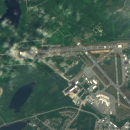
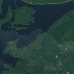
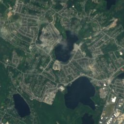
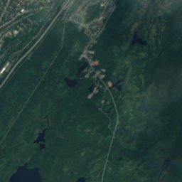
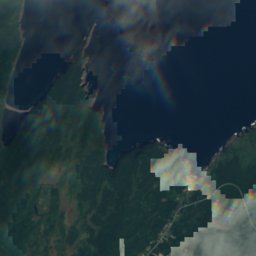
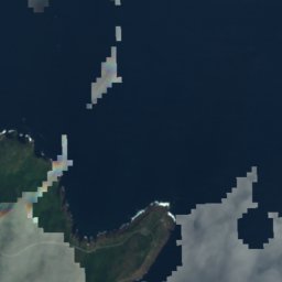
Ruby Rock จากมุมสูง
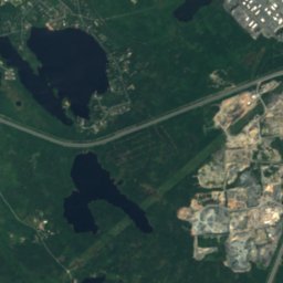
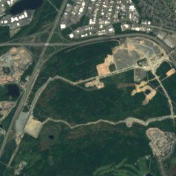
ธรรมชาติใกล้เคียงทั่วประเทศ
ดาวเทียม: Sentinel-2 cloudless 2016 โดย EOX IT Services GmbH · CC BY 4.0 · มีข้อมูล Copernicus Sentinel (2016) ที่ดัดแปลงแล้ว
ดาวเทียม: Sentinel-2 cloudless 2016 โดย EOX IT Services GmbH · CC BY 4.0 · มีข้อมูล Copernicus Sentinel (2016) ที่ดัดแปลงแล้ว
ดาวเทียม: Sentinel-2 cloudless 2016 โดย EOX IT Services GmbH · CC BY 4.0 · มีข้อมูล Copernicus Sentinel (2016) ที่ดัดแปลงแล้ว
ดาวเทียม: Sentinel-2 cloudless 2016 โดย EOX IT Services GmbH · CC BY 4.0 · มีข้อมูล Copernicus Sentinel (2016) ที่ดัดแปลงแล้ว
ดาวเทียม: Sentinel-2 cloudless 2016 โดย EOX IT Services GmbH · CC BY 4.0 · มีข้อมูล Copernicus Sentinel (2016) ที่ดัดแปลงแล้ว
ดาวเทียม: Sentinel-2 cloudless 2016 โดย EOX IT Services GmbH · CC BY 4.0 · มีข้อมูล Copernicus Sentinel (2016) ที่ดัดแปลงแล้ว
ยอดเขาใกล้เคียงภูเขาในแคนาดา
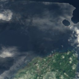
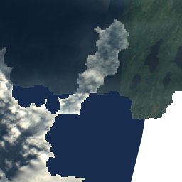
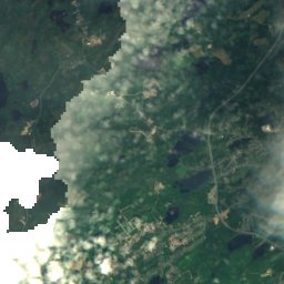
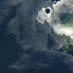
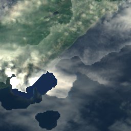
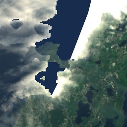
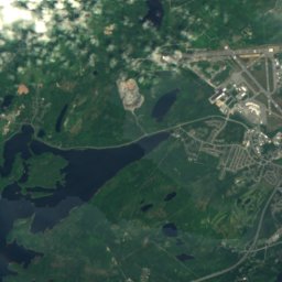

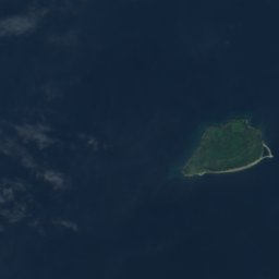
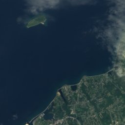
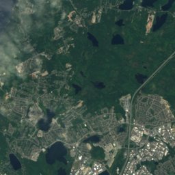
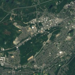
ดาวเทียม: Sentinel-2 cloudless 2016 โดย EOX IT Services GmbH · CC BY 4.0 · มีข้อมูล Copernicus Sentinel (2016) ที่ดัดแปลงแล้ว
ที่พักใกล้เคียง
จุดใกล้เคียง

ภาพ: Quintin Soloviev · CC BY 4.0 · Wikimedia Commonsแจ้งเกี่ยวกับภาพนี้ · ลิงก์ไปยังต้นทาง ไม่จัดเก็บ
St. John's
Newfoundland and Labrador · 2.1 km ตะวันตก
11°สูงสุด ต.ค.
13วันที่ฝนตก
23คะแนน

ภาพ: Skeezix1000 · CC BY-SA 3.0 · Wikimedia Commonsแจ้งเกี่ยวกับภาพนี้ · ลิงก์ไปยังต้นทาง ไม่จัดเก็บ
Fort Townshend
Newfoundland and Labrador · 3.1 km ตะวันตก
11°สูงสุด ต.ค.
13วันที่ฝนตก
23คะแนน

ภาพ: Claxton Ray · Public domain · Wikimedia Commonsแจ้งเกี่ยวกับภาพนี้ · ลิงก์ไปยังต้นทาง ไม่จัดเก็บ
Logy Bay–Middle Cove–Outer Cove
Newfoundland and Labrador · 7.4 km เหนือ
10°สูงสุด ต.ค.
13วันที่ฝนตก
22คะแนน

ภาพ: Quintin Soloviev · CC BY 4.0 · Wikimedia Commonsแจ้งเกี่ยวกับภาพนี้ · ลิงก์ไปยังต้นทาง ไม่จัดเก็บ
Mount Pearl
Newfoundland and Labrador · 9.3 km ตะวันตกเฉียงใต้
11°สูงสุด ต.ค.
13วันที่ฝนตก
22คะแนน
บริเวณใกล้เคียง
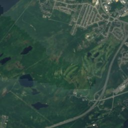
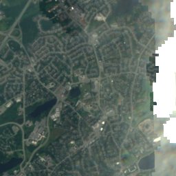
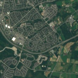
St. John'sและบริเวณโดยรอบ
ภาพ: Quintin Soloviev · CC BY 4.0 · Wikimedia Commonsแจ้งเกี่ยวกับภาพนี้ · ลิงก์ไปยังต้นทาง ไม่จัดเก็บ
St. John's
Newfoundland and Labrador · แคนาดา
ก.ค.–ก.ย.เดือนที่ดีที่สุด
18°อุณหภูมิสูงสุดเดือนกรกฎาคม
35 mระดับความสูง
ธรรมชาติ
ดาวเทียม: Sentinel-2 cloudless 2016 โดย EOX IT Services GmbH · CC BY 4.0 · มีข้อมูล Copernicus Sentinel (2016) ที่ดัดแปลงแล้ว
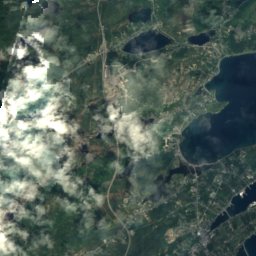
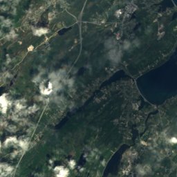
Quidi Vidi Lake, Newfoundland and Labrador
ทะเลสาบ · 17 m
ดาวเทียม: Sentinel-2 cloudless 2016 โดย EOX IT Services GmbH · CC BY 4.0 · มีข้อมูล Copernicus Sentinel (2016) ที่ดัดแปลงแล้ว
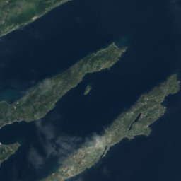
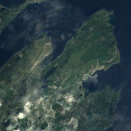
Virginia Lake, Newfoundland and Labrador
ทะเลสาบ
ดาวเทียม: Sentinel-2 cloudless 2016 โดย EOX IT Services GmbH · CC BY 4.0 · มีข้อมูล Copernicus Sentinel (2016) ที่ดัดแปลงแล้ว
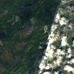
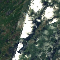
Sheep Pen Gully
ทะเลสาบ
ภูเขา
ดาวเทียม: Sentinel-2 cloudless 2016 โดย EOX IT Services GmbH · CC BY 4.0 · มีข้อมูล Copernicus Sentinel (2016) ที่ดัดแปลงแล้ว
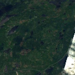
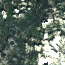
Mother Allans Rock
170 m
มรดก

ภาพ: Paul from Hacketts Cove, Canada · CC BY-SA 4.0 · Wikimedia Commonsแจ้งเกี่ยวกับภาพนี้ · ลิงก์ไปยังต้นทาง ไม่จัดเก็บ
Basilica of St. John the Baptist
1850

ภาพ: Skeezix1000 · CC BY-SA 3.0 · Wikimedia Commonsแจ้งเกี่ยวกับภาพนี้ · ลิงก์ไปยังต้นทาง ไม่จัดเก็บ
Bank of British North America Building
1835

ภาพ: SingleIntegral · CC BY-SA 3.0 · Wikimedia Commonsแจ้งเกี่ยวกับภาพนี้ · ลิงก์ไปยังต้นทาง ไม่จัดเก็บ
Fort Amherst
1813
พิพิธภัณฑ์

ภาพ: David P Janes · CC BY-SA 3.0 · Wikimedia Commonsแจ้งเกี่ยวกับภาพนี้ · ลิงก์ไปยังต้นทาง ไม่จัดเก็บ
The Rooms
พิพิธภัณฑ์ศิลปะ · 2005


