本文へスキップ
旅先
天気と気候
自然
アウトドア
文化
イベント
空とライブ
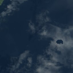
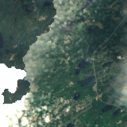
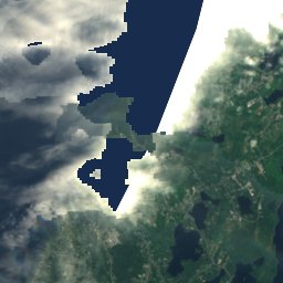
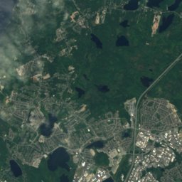
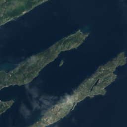
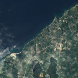
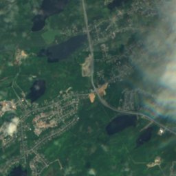
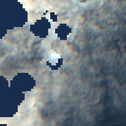
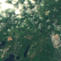
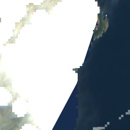
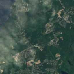
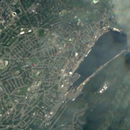
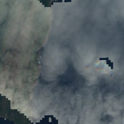
衛星: Sentinel-2 cloudless 2016(EOX IT Services GmbH) · CC BY 4.0 · 改変したCopernicus Sentinelデータ(2016年)を含みます
島St. John's, Newfoundland and Labrador

Ruby Rock

島ベスト 7月–9月
標高–海抜
面積–総面積
最寄りの地点St. John's2.1 km
北緯47.57°、西経52.68°UTC−2:30 · ニューファンドランド夏時間
旅行時期St. John's · 天気スコア
1月2月3月4月5月6月7月8月9月10月11月12月2310月
ベストシーズン7月–9月
10月:最高 / 最低11° / 7°
島

Ruby Rock 概要

Ruby Rockはカナダ(Newfoundland and Labrador)にある島です。

最も近い地点は、西に2.1 km離れたSt. John'sです。そこで天気が最も快適なのは7月、8月、9月です。

St. John's:天気と気候ガイド

周辺の現在の天気

St. John'sの天気予報
4°
現在の天気:雨
風43 km/h
湿度80%
雲量100%
今日
10月23日
5°
4°
10 mm
土
10月24日
5°
4°
10 mm
日
10月25日
8°
2°
月
10月26日
13°
6°
火
10月27日
8°
3°
2 mm

モデル計算時刻 12:00 UTC1 日に数回更新

いつ行くか

Ruby Rock:ベストシーズン

St. John'sの気候

St. John'sの月別評価

快適さ、雨の降らない日数、日照 · 100 点満点
地図

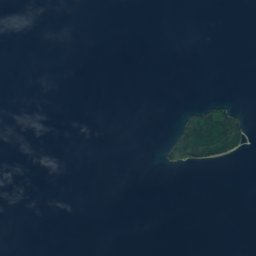
Ruby Rock 上空から

周辺の自然全国
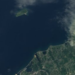
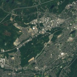
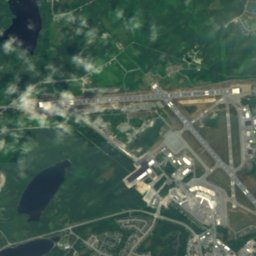
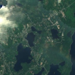
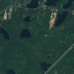
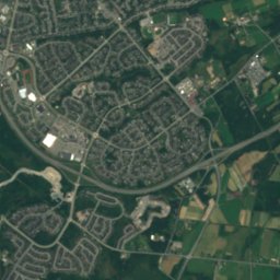
衛星: Sentinel-2 cloudless 2016(EOX IT Services GmbH) · CC BY 4.0 · 改変したCopernicus Sentinelデータ(2016年)を含みます
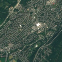
Ellinor Rock, Newfoundland and Labrador島100 m未満北Ellinor Rock, Newfoundland and Labrador
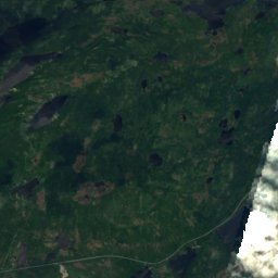
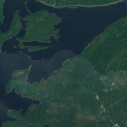
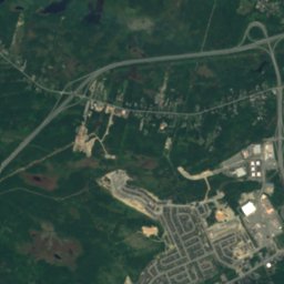
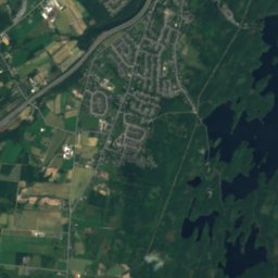
衛星: Sentinel-2 cloudless 2016(EOX IT Services GmbH) · CC BY 4.0 · 改変したCopernicus Sentinelデータ(2016年)を含みます
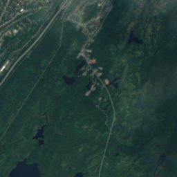
Vestal Rock島100 m未満北Vestal Rock
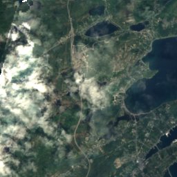
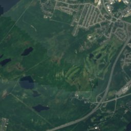
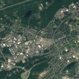
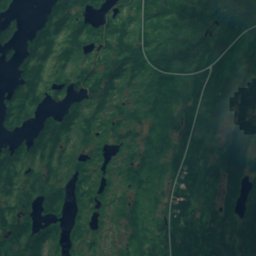
衛星: Sentinel-2 cloudless 2016(EOX IT Services GmbH) · CC BY 4.0 · 改変したCopernicus Sentinelデータ(2016年)を含みます
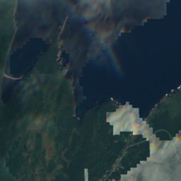
Pancake Shoal, Newfoundland and Labrador島100 m未満北Pancake Shoal, Newfoundland and Labrador
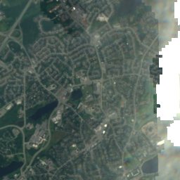
衛星: Sentinel-2 cloudless 2016(EOX IT Services GmbH) · CC BY 4.0 · 改変したCopernicus Sentinelデータ(2016年)を含みます
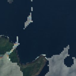
Chain Rock島100 m未満北Chain Rock
衛星: Sentinel-2 cloudless 2016(EOX IT Services GmbH) · CC BY 4.0 · 改変したCopernicus Sentinelデータ(2016年)を含みます
Merlin Rock, Newfoundland and Labrador島100 m未満北Merlin Rock, Newfoundland and Labrador
衛星: Sentinel-2 cloudless 2016(EOX IT Services GmbH) · CC BY 4.0 · 改変したCopernicus Sentinelデータ(2016年)を含みます
Little Pancake島100 m未満北Little Pancake
周辺の山頂カナダの山
衛星: Sentinel-2 cloudless 2016(EOX IT Services GmbH) · CC BY 4.0 · 改変したCopernicus Sentinelデータ(2016年)を含みます
Mother Allans Rock17 km 西170 m7月 17°Mother Allans Rock
近くに泊まる

すぐ近くの地点

St. John's
写真: Quintin Soloviev · CC BY 4.0 · Wikimedia Commonsこの写真を報告 · リンクのみ、保存なし

St. John's

Newfoundland and Labrador · 2.1 km 西
11°10月の最高
13雨の日
23スコア
St. John's
Fort Townshend
写真: Skeezix1000 · CC BY-SA 3.0 · Wikimedia Commonsこの写真を報告 · リンクのみ、保存なし

Fort Townshend

Newfoundland and Labrador · 3.1 km 西
11°10月の最高
13雨の日
23スコア
Fort Townshend
Logy Bay–Middle Cove–Outer Cove
写真: Claxton Ray · Public domain · Wikimedia Commonsこの写真を報告 · リンクのみ、保存なし

Logy Bay–Middle Cove–Outer Cove

Newfoundland and Labrador · 7.4 km 北
10°10月の最高
13雨の日
22スコア
Logy Bay–Middle Cove–Outer Cove
Mount Pearl
写真: Quintin Soloviev · CC BY 4.0 · Wikimedia Commonsこの写真を報告 · リンクのみ、保存なし

Mount Pearl

Newfoundland and Labrador · 9.3 km 南西
11°10月の最高
13雨の日
22スコア
Mount Pearl
周辺

St. John'sとその周辺

St. John's
写真: Quintin Soloviev · CC BY 4.0 · Wikimedia Commonsこの写真を報告 · リンクのみ、保存なし

St. John's

Newfoundland and Labrador · カナダ
7月–9月ベストシーズン
18°7月の最高気温
35 m標高
St. John's

自然

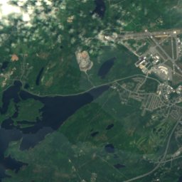
衛星: Sentinel-2 cloudless 2016(EOX IT Services GmbH) · CC BY 4.0 · 改変したCopernicus Sentinelデータ(2016年)を含みます
2.3 km 北東

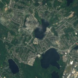
Quidi Vidi Lake, Newfoundland and Labrador

湖 · 17 m
Quidi Vidi Lake, Newfoundland and Labrador
衛星: Sentinel-2 cloudless 2016(EOX IT Services GmbH) · CC BY 4.0 · 改変したCopernicus Sentinelデータ(2016年)を含みます
4.8 km 北

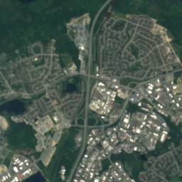
Virginia Lake, Newfoundland and Labrador

湖
Virginia Lake, Newfoundland and Labrador
衛星: Sentinel-2 cloudless 2016(EOX IT Services GmbH) · CC BY 4.0 · 改変したCopernicus Sentinelデータ(2016年)を含みます
5.7 km 西

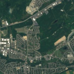
Sheep Pen Gully

湖
Sheep Pen Gully

山

衛星: Sentinel-2 cloudless 2016(EOX IT Services GmbH) · CC BY 4.0 · 改変したCopernicus Sentinelデータ(2016年)を含みます
15 km 西

Mother Allans Rock

170 m
Mother Allans Rock
衛星: Sentinel-2 cloudless 2016(EOX IT Services GmbH) · CC BY 4.0 · 改変したCopernicus Sentinelデータ(2016年)を含みます
37 km 西

Twin Peak

65 m
Twin Peak

遺産

Basilica of St. John the Baptist
写真: Paul from Hacketts Cove, Canada · CC BY-SA 4.0 · Wikimedia Commonsこの写真を報告 · リンクのみ、保存なし
0.3 km 北

Basilica of St. John the Baptist

1850
Basilica of St. John the Baptist
Bank of British North America Building
写真: Skeezix1000 · CC BY-SA 3.0 · Wikimedia Commonsこの写真を報告 · リンクのみ、保存なし
0.2 km 北東

Bank of British North America Building

1835
Bank of British North America Building
Fort Amherst
写真: SingleIntegral · CC BY-SA 3.0 · Wikimedia Commonsこの写真を報告 · リンクのみ、保存なし
2.2 km 東

Fort Amherst

1813
Fort Amherst

博物館・美術館

The Rooms
写真: David P Janes · CC BY-SA 3.0 · Wikimedia Commonsこの写真を報告 · リンクのみ、保存なし
0.2 km 北西

The Rooms

美術館 · 2005
The Rooms
Johnson Geo Centre
写真: HJKeats · Public domain · Wikimedia Commonsこの写真を報告 · リンクのみ、保存なし
1.7 km 北東

Johnson Geo Centre

2002
Johnson Geo Centre