본문으로 건너뛰기
여행지
날씨와 기후
자연
야외 활동
문화
행사
하늘과 실시간
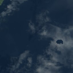
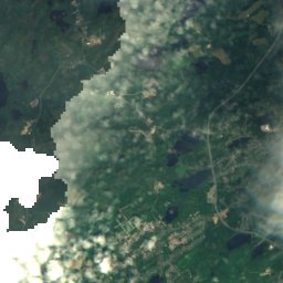
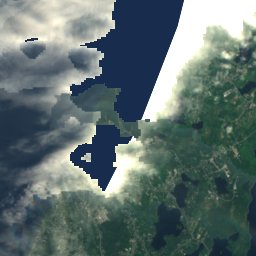
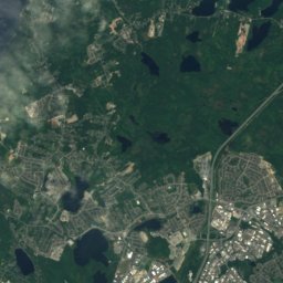
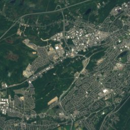
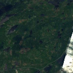
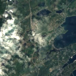
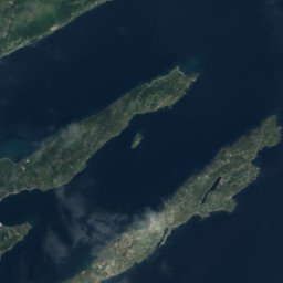
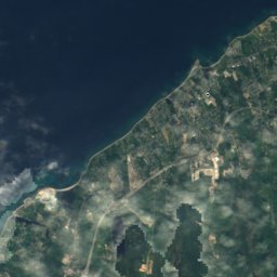
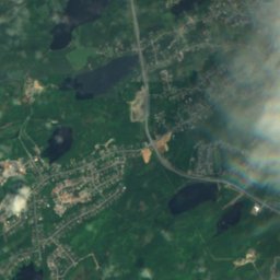
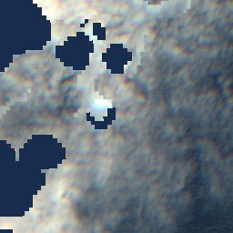
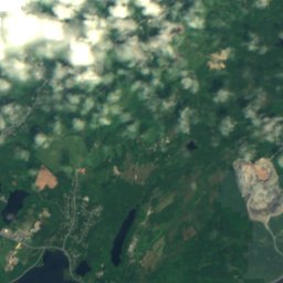
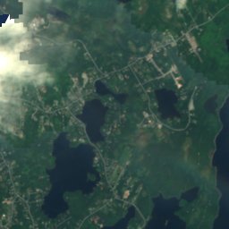
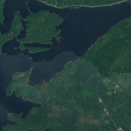
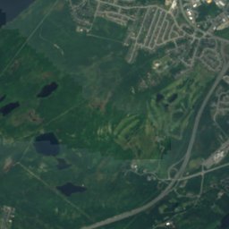
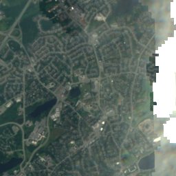
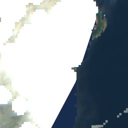
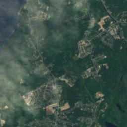
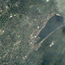
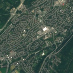
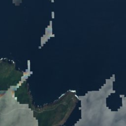
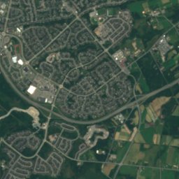
위성: Sentinel-2 cloudless 2016(EOX IT Services GmbH) · CC BY 4.0 · 수정된 Copernicus Sentinel 데이터(2016) 포함
섬St. John's, Newfoundland and Labrador

Ruby Rock

섬최적 7월–9월
고도–해발
면적–총면적
가장 가까운 지점St. John's2.1 km
북위 47.57°, 서경 52.68°UTC−2:30 · 뉴펀들랜드 하계 표준시
여행 시기St. John's · 날씨 점수
1월2월3월4월5월6월7월8월9월10월11월12월2310월
최적 시기7월–9월
10월: 최고 / 최저11° / 7°
섬

Ruby Rock 개요

Ruby Rock는 캐나다(Newfoundland and Labrador)에 있는 섬입니다.

가장 가까운 지점은 서쪽으로 2.1 km 떨어진 St. John's입니다. 그곳의 날씨가 가장 쾌적한 달은 7월, 8월, 9월입니다.

St. John's: 날씨와 기후 가이드

주변의 현재 날씨

St. John's의 일기 예보
4°
현재 날씨: 비
바람35 km/h
습도85%
구름양100%
오늘
10월 24일
5°
4°
10 mm
일
10월 25일
8°
2°
월
10월 26일
13°
6°
화
10월 27일
8°
3°
2 mm
수
10월 28일
3°
1°

모델 계산 시각 12:00 UTC하루 여러 번 갱신

언제 갈까

Ruby Rock: 여행하기 좋은 시기

St. John's의 기후

St. John's의 월별 평가

쾌적도, 비 없는 날, 일조 · 100점 만점
지도

Ruby Rock 하늘에서

주변 자연전국
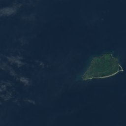
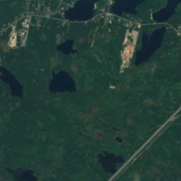
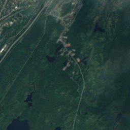
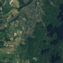
위성: Sentinel-2 cloudless 2016(EOX IT Services GmbH) · CC BY 4.0 · 수정된 Copernicus Sentinel 데이터(2016) 포함
Ellinor Rock, Newfoundland and Labrador섬100m 미만북Ellinor Rock, Newfoundland and Labrador
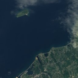
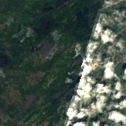
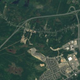
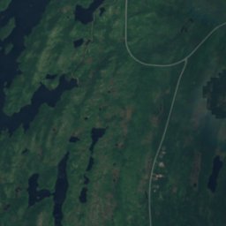
위성: Sentinel-2 cloudless 2016(EOX IT Services GmbH) · CC BY 4.0 · 수정된 Copernicus Sentinel 데이터(2016) 포함
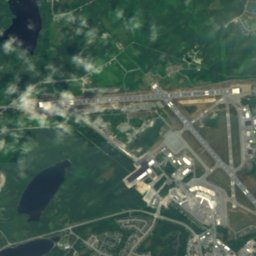
Vestal Rock섬100m 미만북Vestal Rock
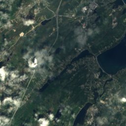
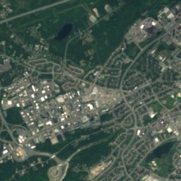
위성: Sentinel-2 cloudless 2016(EOX IT Services GmbH) · CC BY 4.0 · 수정된 Copernicus Sentinel 데이터(2016) 포함
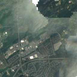
Pancake Shoal, Newfoundland and Labrador섬100m 미만북Pancake Shoal, Newfoundland and Labrador
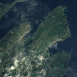
위성: Sentinel-2 cloudless 2016(EOX IT Services GmbH) · CC BY 4.0 · 수정된 Copernicus Sentinel 데이터(2016) 포함
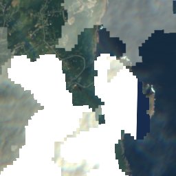
Chain Rock섬100m 미만북Chain Rock
위성: Sentinel-2 cloudless 2016(EOX IT Services GmbH) · CC BY 4.0 · 수정된 Copernicus Sentinel 데이터(2016) 포함
Merlin Rock, Newfoundland and Labrador섬100m 미만북Merlin Rock, Newfoundland and Labrador
위성: Sentinel-2 cloudless 2016(EOX IT Services GmbH) · CC BY 4.0 · 수정된 Copernicus Sentinel 데이터(2016) 포함
Little Pancake섬100m 미만북Little Pancake
주변 정상캐나다의 산
위성: Sentinel-2 cloudless 2016(EOX IT Services GmbH) · CC BY 4.0 · 수정된 Copernicus Sentinel 데이터(2016) 포함
Mother Allans Rock17 km 서170 m7월 17°Mother Allans Rock
근처 숙소

바로 근처의 지점

St. John's
사진: Quintin Soloviev · CC BY 4.0 · Wikimedia Commons이 사진 신고 · 링크만, 저장 없음

St. John's

Newfoundland and Labrador · 2.1 km 서
11°10월 최고
13비 오는 날
23점수
St. John's
Fort Townshend
사진: Skeezix1000 · CC BY-SA 3.0 · Wikimedia Commons이 사진 신고 · 링크만, 저장 없음

Fort Townshend

Newfoundland and Labrador · 3.1 km 서
11°10월 최고
13비 오는 날
23점수
Fort Townshend
Logy Bay–Middle Cove–Outer Cove
사진: Claxton Ray · Public domain · Wikimedia Commons이 사진 신고 · 링크만, 저장 없음

Logy Bay–Middle Cove–Outer Cove

Newfoundland and Labrador · 7.4 km 북
10°10월 최고
13비 오는 날
22점수
Logy Bay–Middle Cove–Outer Cove
Mount Pearl
사진: Quintin Soloviev · CC BY 4.0 · Wikimedia Commons이 사진 신고 · 링크만, 저장 없음

Mount Pearl

Newfoundland and Labrador · 9.3 km 남서
11°10월 최고
13비 오는 날
22점수
Mount Pearl
주변

St. John's 일대

St. John's
사진: Quintin Soloviev · CC BY 4.0 · Wikimedia Commons이 사진 신고 · 링크만, 저장 없음

St. John's

Newfoundland and Labrador · 캐나다
7월–9월여행 적기
18°7월 최고 기온
35 m고도
St. John's

자연

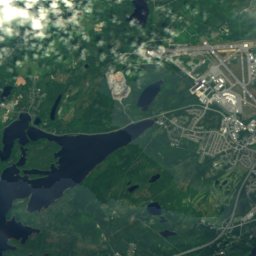
위성: Sentinel-2 cloudless 2016(EOX IT Services GmbH) · CC BY 4.0 · 수정된 Copernicus Sentinel 데이터(2016) 포함
2.3 km 북동

Quidi Vidi Lake, Newfoundland and Labrador

호수 · 17 m
Quidi Vidi Lake, Newfoundland and Labrador
위성: Sentinel-2 cloudless 2016(EOX IT Services GmbH) · CC BY 4.0 · 수정된 Copernicus Sentinel 데이터(2016) 포함
4.8 km 북

Virginia Lake, Newfoundland and Labrador

호수
Virginia Lake, Newfoundland and Labrador
위성: Sentinel-2 cloudless 2016(EOX IT Services GmbH) · CC BY 4.0 · 수정된 Copernicus Sentinel 데이터(2016) 포함
5.7 km 서

Sheep Pen Gully

호수
Sheep Pen Gully

산

위성: Sentinel-2 cloudless 2016(EOX IT Services GmbH) · CC BY 4.0 · 수정된 Copernicus Sentinel 데이터(2016) 포함
15 km 서

Mother Allans Rock

170 m
Mother Allans Rock
위성: Sentinel-2 cloudless 2016(EOX IT Services GmbH) · CC BY 4.0 · 수정된 Copernicus Sentinel 데이터(2016) 포함
37 km 서

Twin Peak

65 m
Twin Peak

유산

Basilica of St. John the Baptist
사진: Paul from Hacketts Cove, Canada · CC BY-SA 4.0 · Wikimedia Commons이 사진 신고 · 링크만, 저장 없음
0.3 km 북

Basilica of St. John the Baptist

캐나다 국립역사유적지 · 1850
Basilica of St. John the Baptist
Bank of British North America Building
사진: Skeezix1000 · CC BY-SA 3.0 · Wikimedia Commons이 사진 신고 · 링크만, 저장 없음
0.2 km 북동

Bank of British North America Building

캐나다 국립역사유적지 · 1835
Bank of British North America Building
Fort Amherst
사진: SingleIntegral · CC BY-SA 3.0 · Wikimedia Commons이 사진 신고 · 링크만, 저장 없음
2.2 km 동

Fort Amherst

캐나다 국립역사유적지 · 1813
Fort Amherst

박물관·미술관

The Rooms
사진: David P Janes · CC BY-SA 3.0 · Wikimedia Commons이 사진 신고 · 링크만, 저장 없음
0.2 km 북서

The Rooms

미술관 · 2005
The Rooms
Johnson Geo Centre
사진: HJKeats · Public domain · Wikimedia Commons이 사진 신고 · 링크만, 저장 없음
1.7 km 북동

Johnson Geo Centre

2002
Johnson Geo Centre