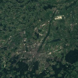
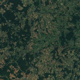
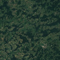
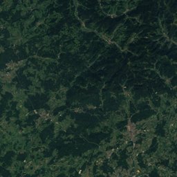
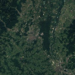
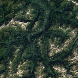
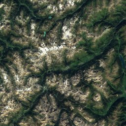
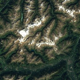
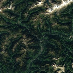
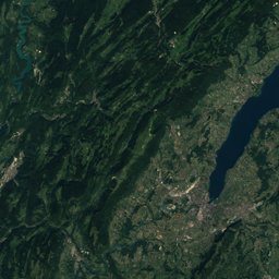
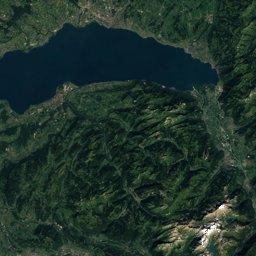
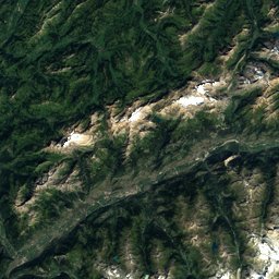
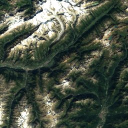
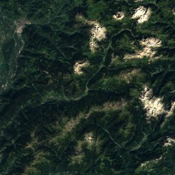
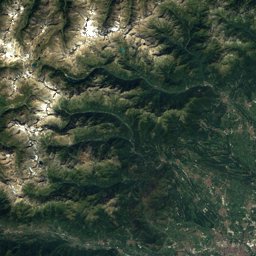
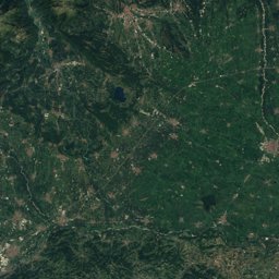
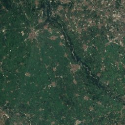
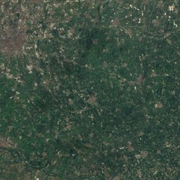
Via Sbrinz


Via Sbrinz in brief
Via Sbrinz is a 99.8 km long-distance trail (T2), Switzerland.
It climbs 5,236 m and descends 3,572 m, topping out at 2,501 m; it starts at 434 m and ends at 2,097 m.
Walked end to end it takes about 37 hours (DIN 33466, without breaks), spread over 5 stages.
On the SAC hiking scale it is graded T2 (mountain hiking).
51% of the way is on natural paths, 14% on gravel and 34% on tarmac; 28% of it runs through forest.
The best months are June–July, judged by temperature and rain at the highest point.
At the high point the warmest month, July, averages 13° by day.
A bus stop or station lies within 800 m of the start or the finish. There is a car park near the start.
Facts
- Distance
- 99.8 km
- Ascent / descent
- 5,236 m / 3,572 m
- Highest / lowest point
- 2,501 m / 434 m
- Walking time
- 37 h
- Grade
- T2 · mountain hiking
- Effort
- multi-day
- Steepest kilometre
- 27 %
- In forest
- 28 %
- Best months
- Jun–Jul
- Start
- Stansstad
- Network
- Regional route · 40
- Stages
- 5
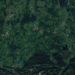
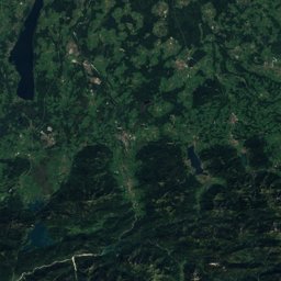
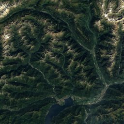
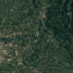
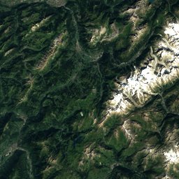
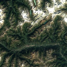
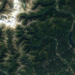
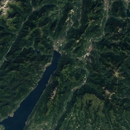
The line on the ground
Elevation profile
Height every 20 m · dashed lines: stage endsThe year month by month
- Janunsuitable
- Febunsuitable
- Marunsuitable
- Aprunsuitable
- Mayunsuitable
- Jungood
- Julgood
- Auggood, wetter
- Sepgood, wetter
- Octpossible
- Novunsuitable
- Decunsuitable
Climate at the high point (2,501 m)
Averages 1981–2010 adjusted to the height with 6.5 °C per km; daylight at the start| Month | Jan | Feb | Mar | Apr | May | Jun | Jul | Aug | Sep | Oct | Nov | Dec |
|---|---|---|---|---|---|---|---|---|---|---|---|---|
| Average high | -2° | -3° | -1° | 1° | 5° | 10° | 13° | 13° | 9° | 6° | 1° | -1° |
| Average low | -10° | -8° | -6° | -3° | 1° | 4° | 6° | 7° | 4° | 1° | -4° | -13° |
| Precipitation | 162 mm | 143 mm | 184 mm | 246 mm | 293 mm | 226 mm | 209 mm | 227 mm | 269 mm | 258 mm | 237 mm | 174 mm |
| Daylight | 8 h 55 min | 10 h 18 min | 11 h 51 min | 13 h 35 min | 15 h 03 min | 15 h 52 min | 15 h 32 min | 14 h 15 min | 12 h 36 min | 10 h 57 min | 9 h 24 min | 8 h 33 min |
This week on the route
Loading the latest forecast…
Loading the latest forecast…
Loading the latest forecast…
Kilometre by kilometre
| km | What | Name | Elevation |
|---|---|---|---|
| 0.0 | Sight | Schnitz Tower | – |
| 0.0 | Town or village | Hergiswil · 2.1 km off the route | 452 m |
| 0.6 | Town or village | Stansstad | 435 m |
| 3.0 | Town or village | Ennetmoos · 0.6 km off the route | 530 m |
| 4.5 | Sight | Salt Depot | – |
| 4.8 | Town or village | Stans | 453 m |
| 4.8 | Sight | St. Peter and Paul | – |
| 4.8 | Sight | Winkelrieddenkmal | – |
| 5.3 | Sight | House of Winkelried | – |
| 5.9 | Town or village | Oberdorf NW · 0.9 km off the route | 458 m |
| 9.9 | Town or village | Dallenwil · 0.6 km off the route | 565 m |
| 13.0 | Town or village | Wolfenschiessen | 517 m |
| 24.8 | Lake | Eugenisee | 990 m |
| 25.3 | Town or village | Engelberg · 0.7 km off the route | 1,015 m |
| 30.9 | Lake | Trüebsee | 1,763 m |
| 36.1 | Lake | Engstlensee | 1,851 m |
| 50.7 | Sight | Reformed Helferei Church | – |
| 51.1 | Town or village | Innertkirchen | 627 m |
| 59.9 | Town or village | Guttannen | 1,060 m |
| 65.6 | Lake | Gelmersee · 1.9 km off the route | 1,849 m |
| 70.5 | Lake | Räterichsbodensee | 1,767 m |
| 75.8 | Lake | Totensee | 2,160 m |
| 84.0 | Town or village | Obergesteln | 1,360 m |
| 85.3 | Town or village | Ulrichen · 0.6 km off the route | 1,346 m |
Surface, shade and gradients
5 stages from start to finish
| # | Stage | Distance | Ascent | Descent | Highest point | Walking time | Grade |
|---|---|---|---|---|---|---|---|
| 1 | Stansstad – Engelberg | 26.1 km | 700 m | 140 m | 1,005 m | 7 h | T2 |
| 2 | Engelberg – Engstlenalp | 13.0 km | 1,300 m | 440 m | 2,210 m | 5 h 10 min | T2 |
| 3 | Engstlenalp – Guttannen | 22.8 km | 680 m | 1,450 m | 1,835 m | 6 h 40 min | T2 |
| 4 | Guttannen – Obergesteln | 24.4 km | 1,450 m | 1,200 m | 2,208 m | 8 h | T2 |
| 5 | Obergesteln – Ponte (I) | 26.9 km | 1,400 m | 1,450 m | 2,501 m | 9 h | T2 |
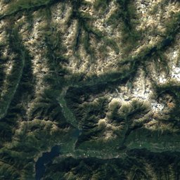
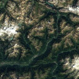
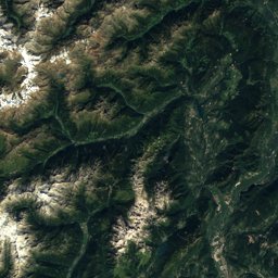
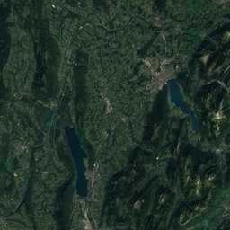
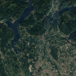
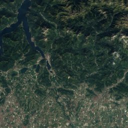
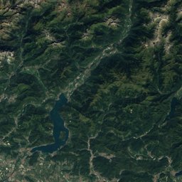
Seen along the route


Start, stops and airports
- Start
- 46.98068° N, 8.33609° E · 434 m
- Finish
- 46.44101° N, 8.37481° E · 2,097 m
- Car park at the start
- yes · 21 m
- Stop at the start
- Stansstad Schule · Bus stop · 95 m
- Stop at the finish
- none within 800 m
- Nearest airport
- Zürich Airport (ZRH) · 55.5 km
- Nearest airport
- Bern Airport (BRN) · 64.0 km
More routes near Stansstad
Conditions change: check the official sources, the signposts and the weather before you set off. Walking times follow DIN 33466 and do not include breaks. Route data as of 2026-10-16. Report an error