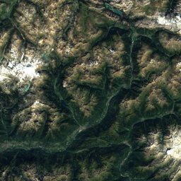
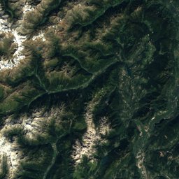
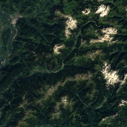
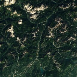
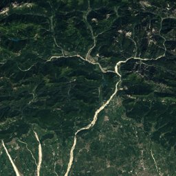
Via Albula Bernina


Via Albula Bernina in brief
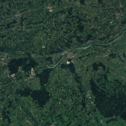
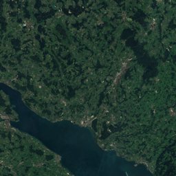
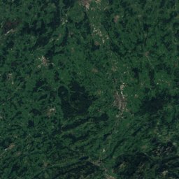
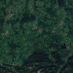
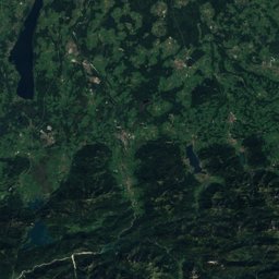
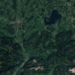
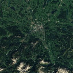
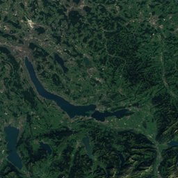
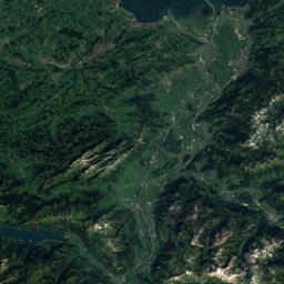
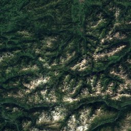
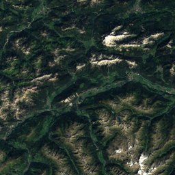
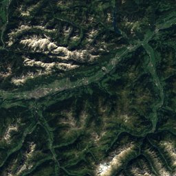
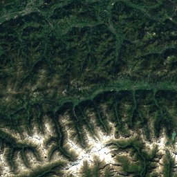
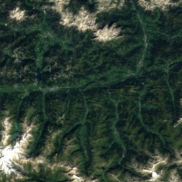
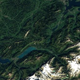
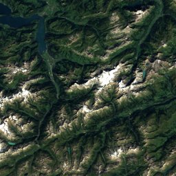
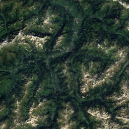
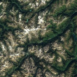
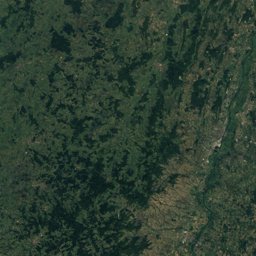
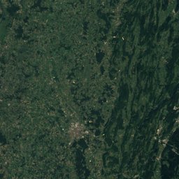
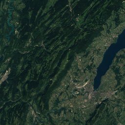
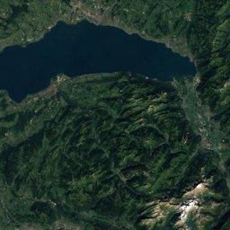
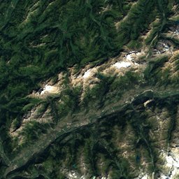
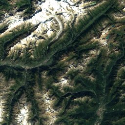
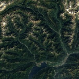
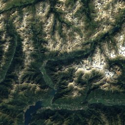
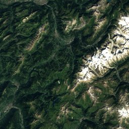
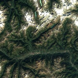
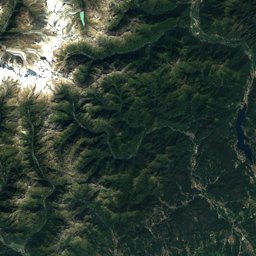
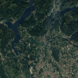
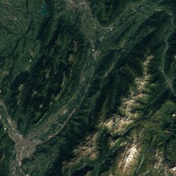
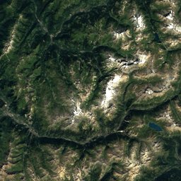
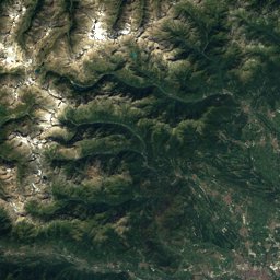
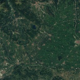
Via Albula Bernina is a 130 km long-distance trail (T2) from Thusis to Tirano, Switzerland.
It climbs 4,980 m and descends 5,190 m, topping out at 2,469 m; it starts at 704 m and ends at 517 m.
The official walking times of its 10 stages add up to about 39 hours.
On the SAC hiking scale it is graded T2 (mountain hiking).
35% of the way is on natural paths, 40% on gravel and 24% on tarmac; 46% of it runs through forest.
The best months are June–September, judged by temperature and rain at the highest point.
At the high point the warmest month, July, averages 13° by day.
A bus stop or station lies within 800 m of the start or the finish. There is a car park near the start.
Facts
The line on the ground
Elevation profile
Height every 20 m · dashed lines: stage endsThe year month by month
- Janunsuitable
- Febunsuitable
- Marunsuitable
- Aprunsuitable
- Mayunsuitable
- Jungood, wetter
- Julgood, wetter
- Auggood, wetter
- Sepgood, wetter
- Octpossible
- Novunsuitable
- Decunsuitable
Climate at the high point (2,469 m)
Averages 1981–2010 adjusted to the height with 6.5 °C per km; daylight at the start| Month | Jan | Feb | Mar | Apr | May | Jun | Jul | Aug | Sep | Oct | Nov | Dec |
|---|---|---|---|---|---|---|---|---|---|---|---|---|
| Average high | -3° | -4° | -2° | 1° | 5° | 10° | 13° | 13° | 9° | 6° | 1° | -2° |
| Average low | -16° | -12° | -7° | -4° | 1° | 4° | 6° | 7° | 3° | 1° | -8° | -15° |
| Precipitation | 75 mm | 59 mm | 79 mm | 94 mm | 145 mm | 159 mm | 172 mm | 172 mm | 143 mm | 121 mm | 123 mm | 86 mm |
| Daylight | 8 h 57 min | 10 h 19 min | 11 h 51 min | 13 h 34 min | 15 h 01 min | 15 h 50 min | 15 h 30 min | 14 h 14 min | 12 h 36 min | 10 h 57 min | 9 h 25 min | 8 h 35 min |
This week on the route
Loading the latest forecast…
Loading the latest forecast…
Loading the latest forecast…
Kilometre by kilometre
| km | What | Name | Elevation |
|---|---|---|---|
| 0.0 | Town or village | Masein · 1.2 km off the route | 871 m |
| 0.0 | Town or village | Flerden · 2.5 km off the route | 1,233 m |
| 0.0 | Town or village | Tartar · 2.7 km off the route | 991 m |
| 0.0 | Town or village | Portein · 2.9 km off the route | 1,125 m |
| 0.1 | Town or village | Thusis | 700 m |
| 2.0 | Sight | Ehrenfels Castle | – |
| 2.4 | Town or village | Sils im Domleschg | 684 m |
| 4.0 | Town or village | Scharans · 1.2 km off the route | 765 m |
| 4.1 | Sight | Baldenstein Castle | – |
| 13.0 | Town or village | Vaz/Obervaz · 1.0 km off the route | 1,355 m |
| 13.2 | Sight | Burg Nivagl | – |
| 15.6 | Town or village | Alvaschein | 1,000 m |
| 15.8 | Lake | Stausee Solis | 824 m |
| 16.0 | Town or village | Stierva · 1.3 km off the route | 1,354 m |
| 16.7 | Town or village | Lantsch/Lenz · 1.2 km off the route | 1,324 m |
| 19.3 | Sight | Tiefencastel railway station | – |
| 19.9 | Town or village | Tiefencastel | 891 m |
| 23.1 | Town or village | Surava | 906 m |
| 27.1 | Town or village | Alvaneu · 0.9 km off the route | 1,193 m |
| 29.1 | Sight | Schmittentobel Viaduct | – |
| 29.1 | Town or village | Schmitten · 0.8 km off the route | 1,281 m |
| 31.8 | Town or village | Filisur | 1,026 m |
| 47.8 | Town or village | Preda | 1,787 m |
| 49.5 | Lake | Lai da Palpuogna | 1,918 m |
| 63.3 | Town or village | Bever | 1,721 m |
| 66.3 | Town or village | Samedan | 1,716 m |
| 69.3 | Town or village | Celerina/Schlarigna | 1,727 m |
| 71.3 | Town or village | St. Moritz | 1,845 m |
| 73.0 | Lake | Lake St. Moritz | 1,768 m |
| 74.7 | Lake | Lej da Staz | 1,809 m |
| 79.7 | Town or village | Pontresina | 1,822 m |
| 93.4 | Lake | Lej Pitschen | 2,217 m |
| 94.0 | Lake | Lej Nair | 2,223 m |
| 96.1 | Sight | Rhaetian Railway in the Albula / Bernina Landscapes | – |
| 96.1 | Sight | Bernina railway line | – |
| 96.1 | Sight | Albula Railway | – |
| 96.6 | Lake | Lago Bianco | 2,234 m |
| 103.3 | Lake | Palü Lake | 1,923 m |
| 108.9 | Town or village | San Carlo · 1.4 km off the route | 1,841 m |
| 111.7 | Sight | Saint Victor | – |
| 112.1 | Town or village | Poschiavo | 1,010 m |
| 112.7 | Town or village | Cologna · 0.7 km off the route | 1,111 m |
| 112.7 | Sight | St Maria, Poschiavo | – |
| 113.9 | Town or village | Li Curt | 985 m |
| 118.8 | Lake | Lago di Poschiavo | 962 m |
| 123.4 | Town or village | Brusio | 776 m |
| 123.7 | Sight | San Carlo Borromeo | – |
| 124.4 | Sight | Brusio spiral viaduct | – |
| 128.1 | Town or village | Campocologno | 548 m |
| 129.7 | Town or village | Tirano · 1.2 km off the route | 441 m |
| 129.7 | Town or village | Villa di Tirano · 2.4 km off the route | 405 m |
Surface, shade and gradients
10 stages from start to finish
| # | Stage | Distance | Ascent | Descent | Highest point | Walking time | Grade |
|---|---|---|---|---|---|---|---|
| 1 | Thusis – Tiefencastel | 19.7 km | 950 m | 740 m | 1,206 m | 6 h | T2 |
| 2 | Tiefencastel – Filisur | 11.8 km | 420 m | 220 m | 1,077 m | 3 h 15 min | T2 |
| 3 | Filisur – Bergün | 9.7 km | 600 m | 300 m | 1,499 m | 3 h 10 min | T2 |
| 4 | Bergün – Preda | 7.0 km | 520 m | 110 m | 1,783 m | 2 h 20 min | T2 |
| 5 | Preda – Spinas | 12.0 km | 820 m | 780 m | 2,469 m | 4 h 20 min | T2 |
| 6 | Spinas – St. Moritz | 12.7 km | 240 m | 280 m | 1,853 m | 3 h 15 min | T2 |
| 7 | St. Moritz – Ospizio Bernina | 23.9 km | 840 m | 360 m | 2,265 m | 6 h 30 min | T2 |
| 8 | Ospizio Bernina – Cavaglia | 9.4 km | 240 m | 800 m | 2,356 m | 2 h 50 min | T2 |
| 9 | Cavaglia – Le Prese | 11.8 km | 50 m | 780 m | 1,705 m | 3 h | T2 |
| 10 | Le Prese – Tirano (I) | 14.7 km | 300 m | 820 m | 1,096 m | 3 h 50 min | T2 |
Seen along the route


Start, stops and airports
- Start
- 46.69812° N, 9.44037° E · 704 m
- Finish
- 46.22187° N, 10.15066° E · 517 m
- Car park at the start
- yes · 15 m
- Stop at the start
- Thusis · Railway station · 17 m
- Stop at the finish
- none within 800 m
- Nearest airport
- Lugano Airport (LUG) · 87.1 km
- Nearest airport
- Sankt Gallen Altenrhein Airport (ACH) · 88.0 km
More routes near Thusis
Conditions change: check the official sources, the signposts and the weather before you set off. Walking times follow DIN 33466 and do not include breaks. Route data as of 2026-10-16. Report an error