Hiking
Hiking in Germany
3 routes with a page of their own, from short walks to long-distance trails. Each has a map, an elevation profile from 30 m terrain data, the walking time and the months that suit it.
Routes3with a page
Short ones3under 15 km
Longest6.8 kmone route
Highest point390 mon any route
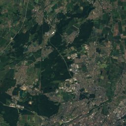
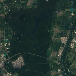
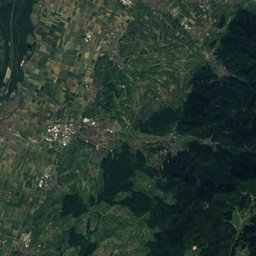
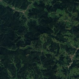
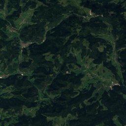
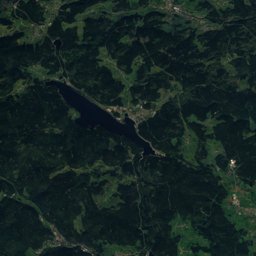
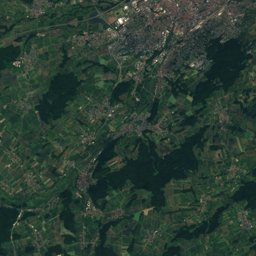
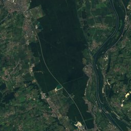
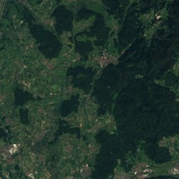
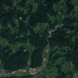
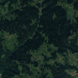
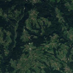
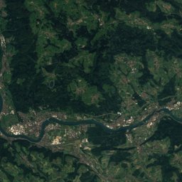
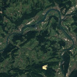
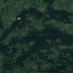
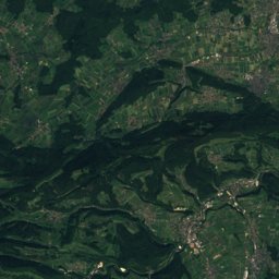
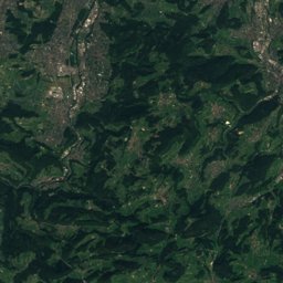
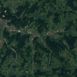
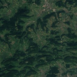
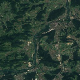
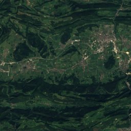
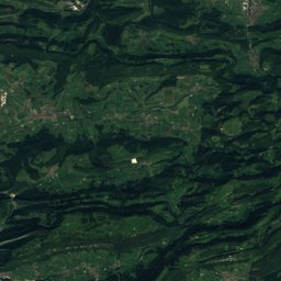
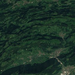
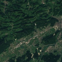
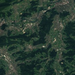
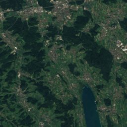
Satellite: Sentinel-2 cloudless 2016 by EOX IT Services GmbH · CC BY 4.0 · Contains modified Copernicus Sentinel data 2016
| # | Outline | Route | Region | Distance | Ascent | Walking time | Grade | Best months |
|---|---|---|---|---|---|---|---|---|
| 1 | Rheinfelden - Bachtele | Baden-Wurttemberg | 6.8 km | 160 m | 2 h 5 min | T1 | Mar–Apr · Sep · Nov | |
| 2 | Etzgen Postauto - Rheinsulz | Baden-Wurttemberg | 5.2 km | 122 m | 1 h 35 min | T1 | Mar–Apr · Aug–Sep | |
| 3 | Rappertshüseren - Stelli | Baden-Wurttemberg | 3.4 km | 62 m | 1 h | T1 | Mar–Apr · Aug–Sep · Nov |