Nature
Waters, ice and wild places of Zambia
Lakes, waterfalls, glaciers, national parks and mountain huts, each with its location, its size and the weather of the towns around it.
Lakes2with a page
Waterfalls5with a page
National parks1with a page
Islands40with a page

Lakes
Lakes of Zambia

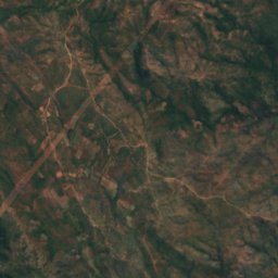
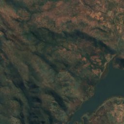
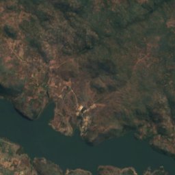
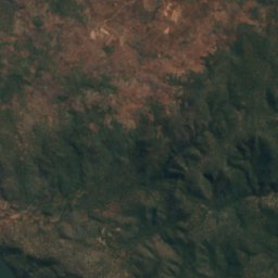
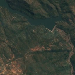
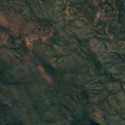
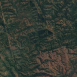
Satellite: Sentinel-2 cloudless 2016 by EOX IT Services GmbH · CC BY 4.0 · Contains modified Copernicus Sentinel data 2016
Kafue Gorge
Kafue, Lusaka Province
975 m
Waterfalls
Waterfalls of Zambia


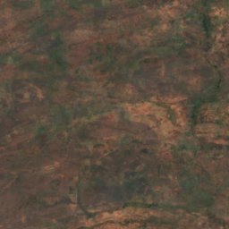
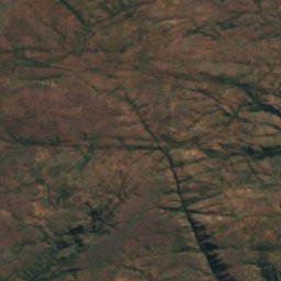
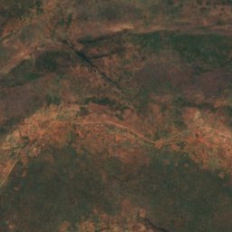
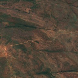
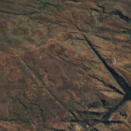
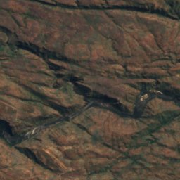
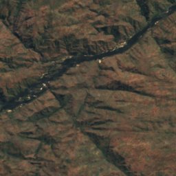
Satellite: Sentinel-2 cloudless 2016 by EOX IT Services GmbH · CC BY 4.0 · Contains modified Copernicus Sentinel data 2016
Ichidi Falls
Livingstone, Southern Province
789 m
Satellite: Sentinel-2 cloudless 2016 by EOX IT Services GmbH · CC BY 4.0 · Contains modified Copernicus Sentinel data 2016
Lombelombe Falls
Livingstone, Southern Province
682 m
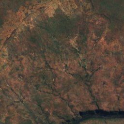
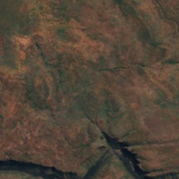
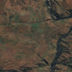
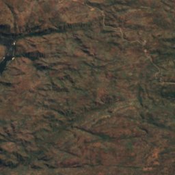
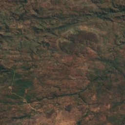
Satellite: Sentinel-2 cloudless 2016 by EOX IT Services GmbH · CC BY 4.0 · Contains modified Copernicus Sentinel data 2016
Moemba Falls
Livingstone, Southern Province
694 m
National parks
National parks of Zambia
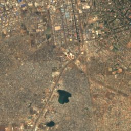
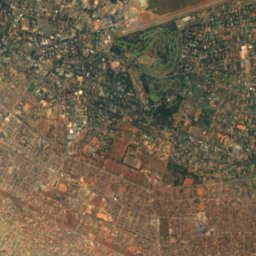
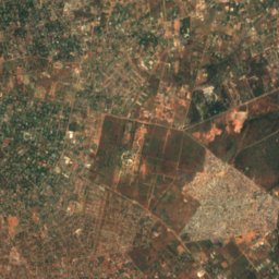
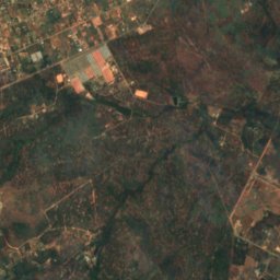
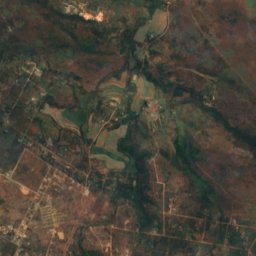
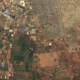
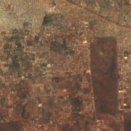
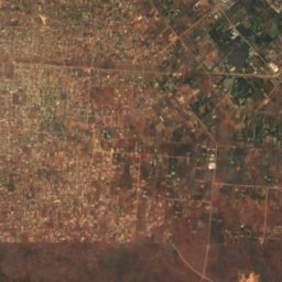
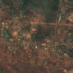
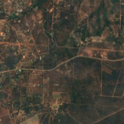
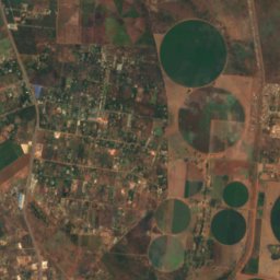
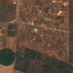
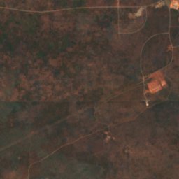
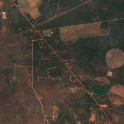
Satellite: Sentinel-2 cloudless 2016 by EOX IT Services GmbH · CC BY 4.0 · Contains modified Copernicus Sentinel data 2016
Lusaka National Park
Lusaka, Lusaka Province
Islands
Islands of Zambia
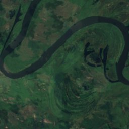
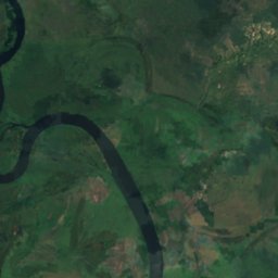
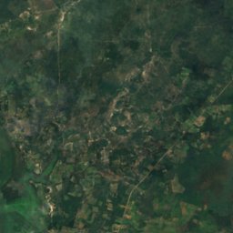
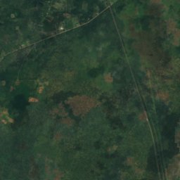
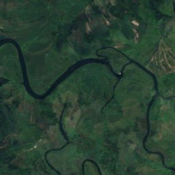
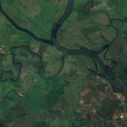
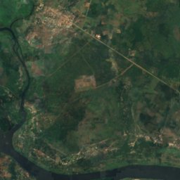
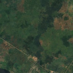
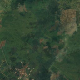
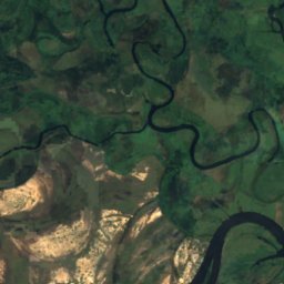
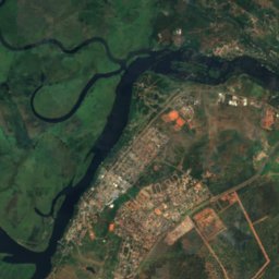
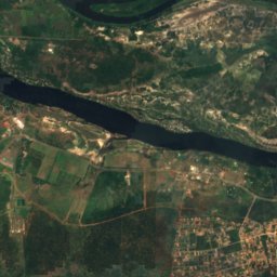
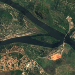
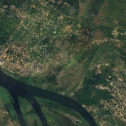
Satellite: Sentinel-2 cloudless 2016 by EOX IT Services GmbH · CC BY 4.0 · Contains modified Copernicus Sentinel data 2016
Impalila
Kazungula, Southern Province
932 m


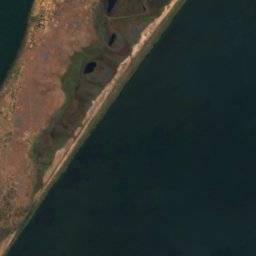


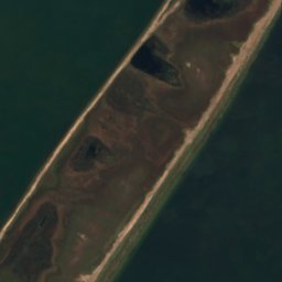



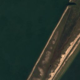

Satellite: Sentinel-2 cloudless 2016 by EOX IT Services GmbH · CC BY 4.0 · Contains modified Copernicus Sentinel data 2016
Mbabala Island, Luapula Province
Samfya, Luapula Province
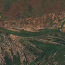
Satellite: Sentinel-2 cloudless 2016 by EOX IT Services GmbH · CC BY 4.0 · Contains modified Copernicus Sentinel data 2016
Kakumba Island
Kazungula, Southern Province
923 m
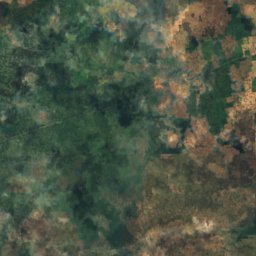
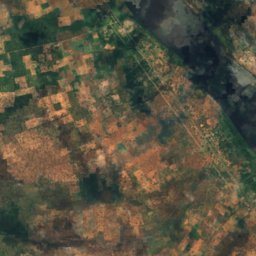
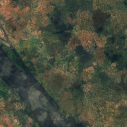
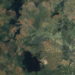
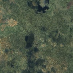
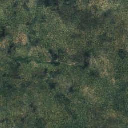
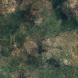
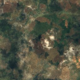
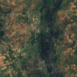
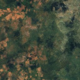
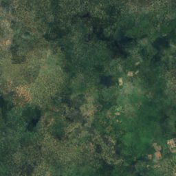
Satellite: Sentinel-2 cloudless 2016 by EOX IT Services GmbH · CC BY 4.0 · Contains modified Copernicus Sentinel data 2016
Makusi Island
Sesheke, Western Province
952 m
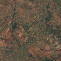
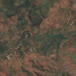
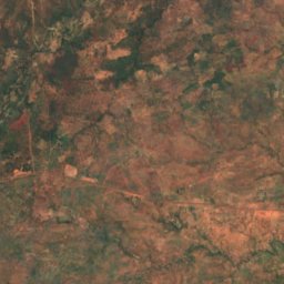
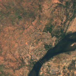
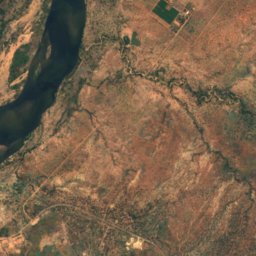
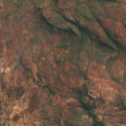
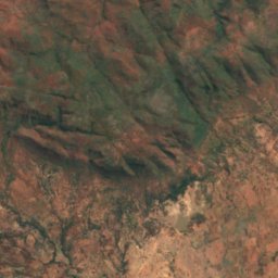
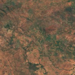
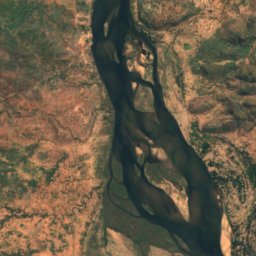
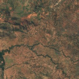
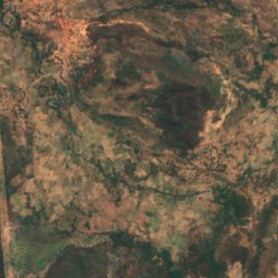
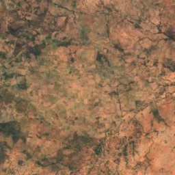
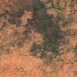
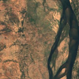
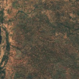
Satellite: Sentinel-2 cloudless 2016 by EOX IT Services GmbH · CC BY 4.0 · Contains modified Copernicus Sentinel data 2016
Bwarambwa Island
Chirundu, Southern Province
372 m
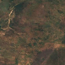
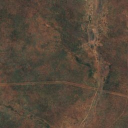
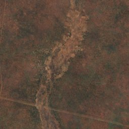
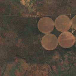
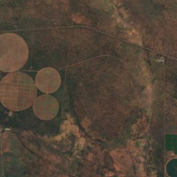
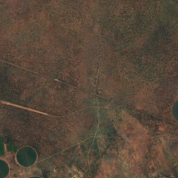
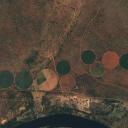
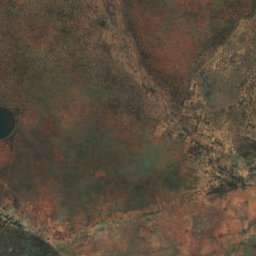
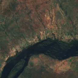
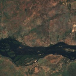
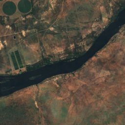
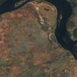
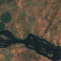
Satellite: Sentinel-2 cloudless 2016 by EOX IT Services GmbH · CC BY 4.0 · Contains modified Copernicus Sentinel data 2016
Chundu Island
Livingstone, Southern Province
926 m
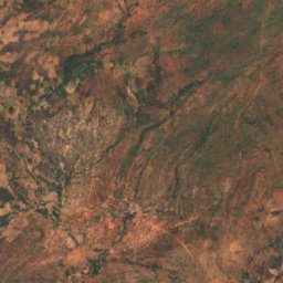
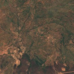
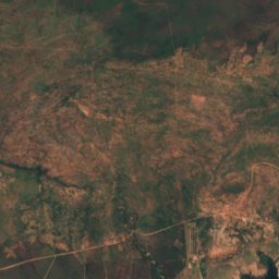
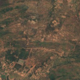
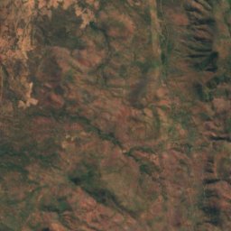
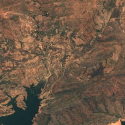
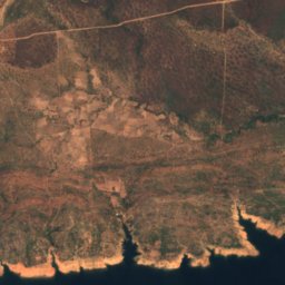
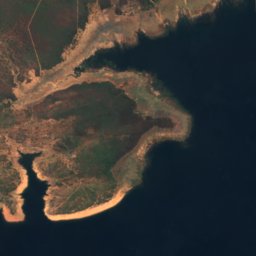
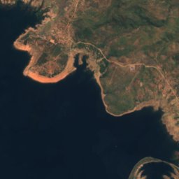
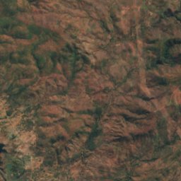
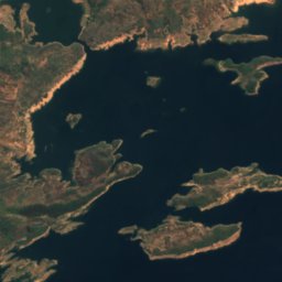
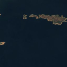

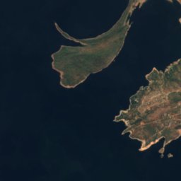
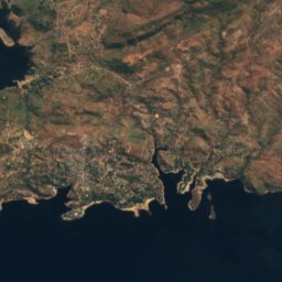
Satellite: Sentinel-2 cloudless 2016 by EOX IT Services GmbH · CC BY 4.0 · Contains modified Copernicus Sentinel data 2016
Gulila
Siavonga, Southern Province
490 m
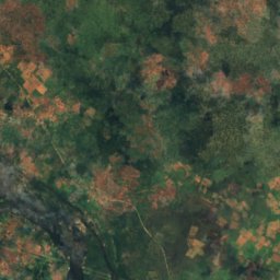
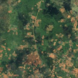
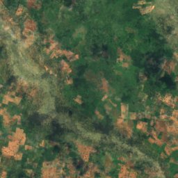
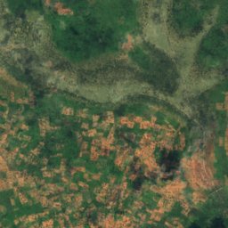
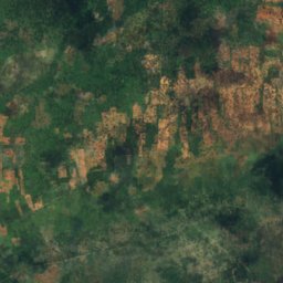
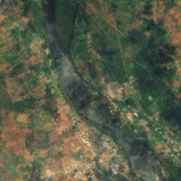
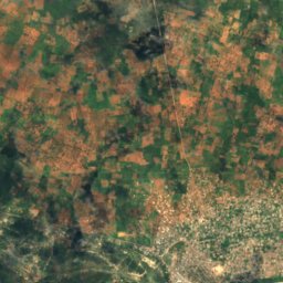
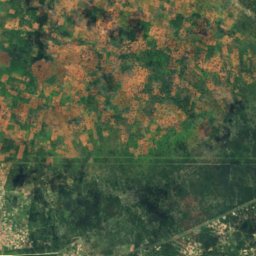
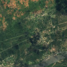
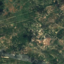
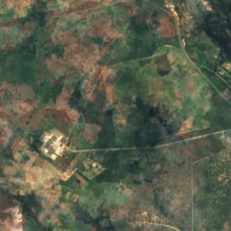
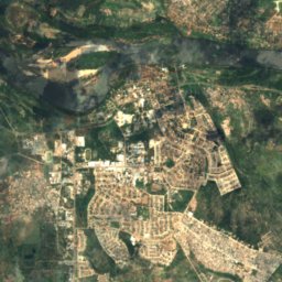
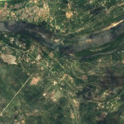
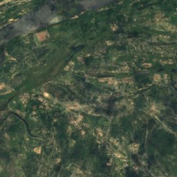
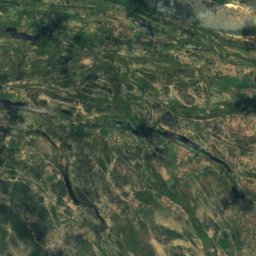
Satellite: Sentinel-2 cloudless 2016 by EOX IT Services GmbH · CC BY 4.0 · Contains modified Copernicus Sentinel data 2016
Hippo Island
Sesheke, Western Province
945 m
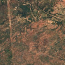
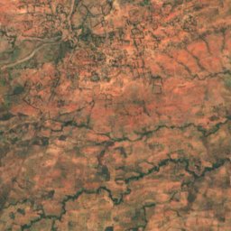
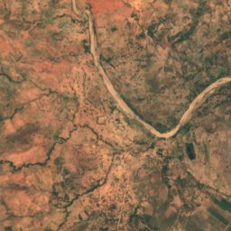
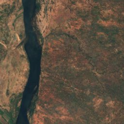
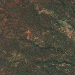
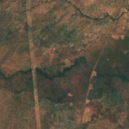
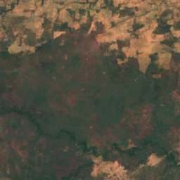
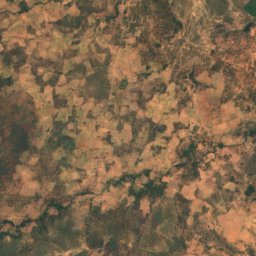
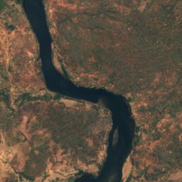
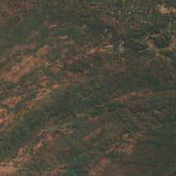
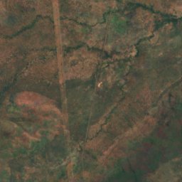
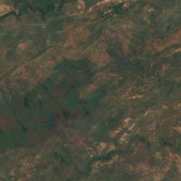
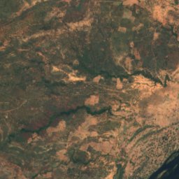
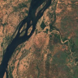
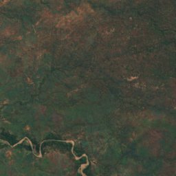
Satellite: Sentinel-2 cloudless 2016 by EOX IT Services GmbH · CC BY 4.0 · Contains modified Copernicus Sentinel data 2016
Indafamnene
Chirundu, Southern Province
402 m
All 40 islands
- Bwarambwa Island
- Chundu Island
- Gulila
- Hippo Island
- Impalila
- Indafamnene
- Isolionke
- Kachikabwe
- Kakumba Island
- Kandahar Island
- Karawe Island
- Kumbula Island
- Little Nakatembwi
- Luanza
- Lukama
- Lusibi
- Lwaando Island
- Makeni
- Makusi Island
- Mangundu
- Manyekanga
- Maoma
- Mbabala Island, Luapula Province
- Mbabala Island, Luapula Province
- Mbalangwe
- Musungura Island
- Mutondwe Island
- Nantanga
- Palatema Island
- Palm Island
- Pombwe Island
- Sakasiba
- Samahongo
- Samingaula
- Sampakaruma Island
- Sekute Island
- Selenge Island
- Sizila
- Sowe Island
- Tembwichisibi Island
Rivers
Rivers of Zambia
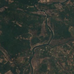
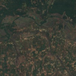
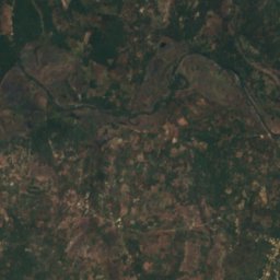
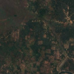
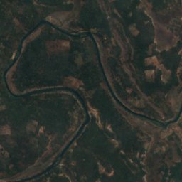
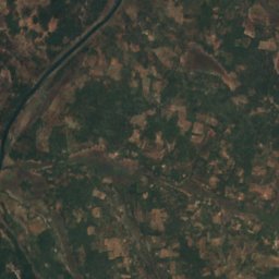
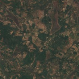
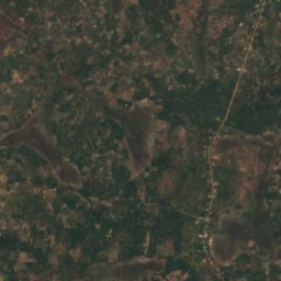


Satellite: Sentinel-2 cloudless 2016 by EOX IT Services GmbH · CC BY 4.0 · Contains modified Copernicus Sentinel data 2016
Kafubu River
Mpongwe, Copperbelt