Przyroda
Woda, lód i dzika przyroda Zambii
Jeziora, wodospady, lodowce, parki narodowe i schroniska górskie – każde z położeniem, wielkością i pogodą w pobliskich miejscowościach.
Jeziora2z własną stroną
Wodospady5z własną stroną
Parki narodowe1z własną stroną
Wyspy40z własną stroną

Zdjęcie: Sybryn · CC BY-SA 4.0 · Wikimedia CommonsZgłoś to zdjęcie · wyświetlane przez odnośnik, nie kopiowane
Jeziora
Jeziora Zambii

Zdjęcie: Sybryn · CC BY-SA 4.0 · Wikimedia CommonsZgłoś to zdjęcie · wyświetlane przez odnośnik, nie kopiowane
Lake Kashiba
Mpongwe, Copperbelt
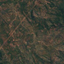
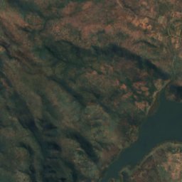
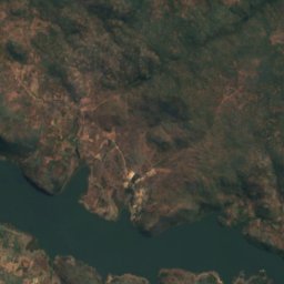
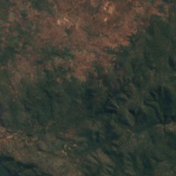
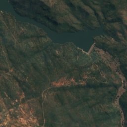
Satelita: Sentinel-2 cloudless 2016 – EOX IT Services GmbH · CC BY 4.0 · Zawiera zmodyfikowane dane Copernicus Sentinel (2016)
Kafue Gorge
Kafue, Lusaka Province
975 m
Wodospady
Wodospady Zambii

Zdjęcie: Diego Delso · CC BY-SA 4.0 · Wikimedia CommonsZgłoś to zdjęcie · wyświetlane przez odnośnik, nie kopiowane
Wodospady Wiktorii
Livingstone, Southern Province
wysokość 108 m

Zdjęcie: Flacourtophile · CC BY-SA 4.0 · Wikimedia CommonsZgłoś to zdjęcie · wyświetlane przez odnośnik, nie kopiowane
Ntumbachushi Falls
Kawambwa, Luapula Province
1221 m
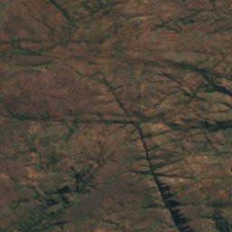
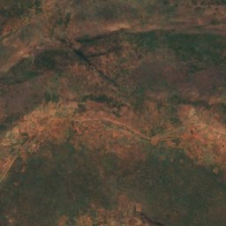
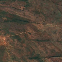
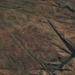
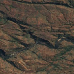
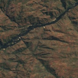
Satelita: Sentinel-2 cloudless 2016 – EOX IT Services GmbH · CC BY 4.0 · Zawiera zmodyfikowane dane Copernicus Sentinel (2016)
Ichidi Falls
Livingstone, Southern Province
789 m
Satelita: Sentinel-2 cloudless 2016 – EOX IT Services GmbH · CC BY 4.0 · Zawiera zmodyfikowane dane Copernicus Sentinel (2016)
Lombelombe Falls
Livingstone, Southern Province
682 m
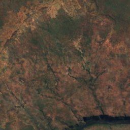
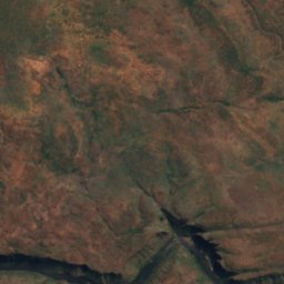
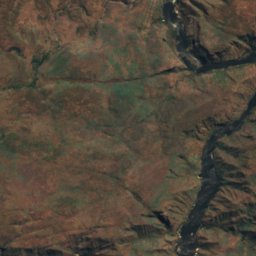
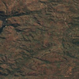
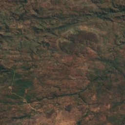
Satelita: Sentinel-2 cloudless 2016 – EOX IT Services GmbH · CC BY 4.0 · Zawiera zmodyfikowane dane Copernicus Sentinel (2016)
Moemba Falls
Livingstone, Southern Province
694 m
Parki narodowe
Parki narodowe Zambii
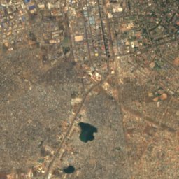
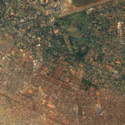
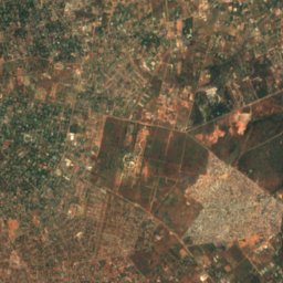
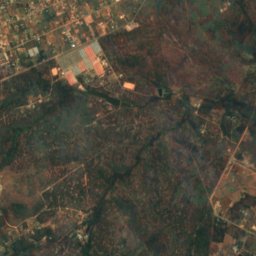
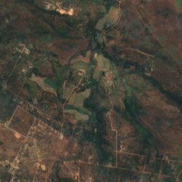
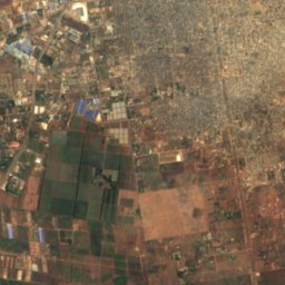
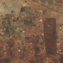
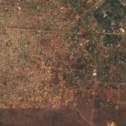
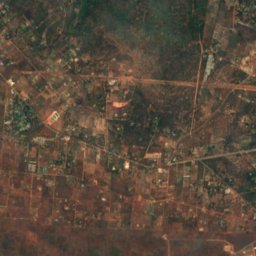
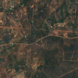
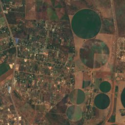
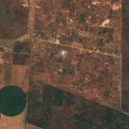
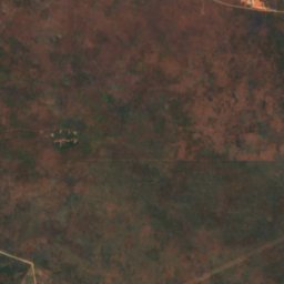
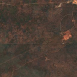
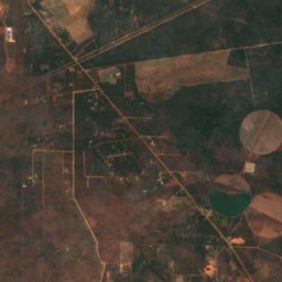
Satelita: Sentinel-2 cloudless 2016 – EOX IT Services GmbH · CC BY 4.0 · Zawiera zmodyfikowane dane Copernicus Sentinel (2016)
Lusaka National Park
Lusaka, Lusaka Province
Wyspy
Wyspy Zambii
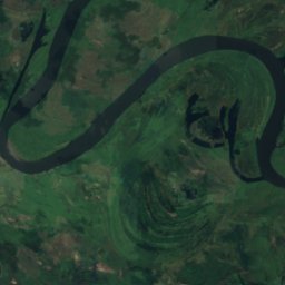
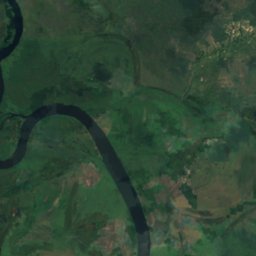
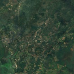
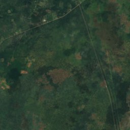
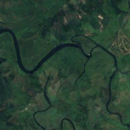
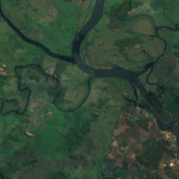
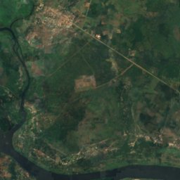
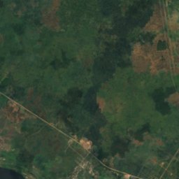
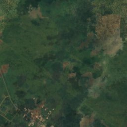
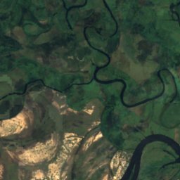
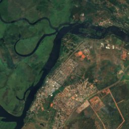
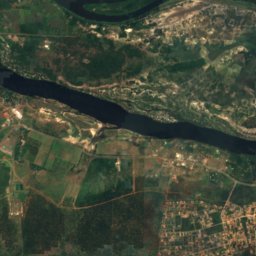
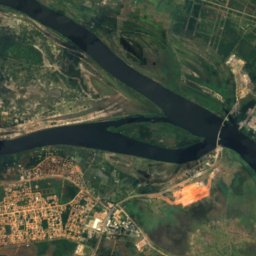
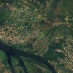
Satelita: Sentinel-2 cloudless 2016 – EOX IT Services GmbH · CC BY 4.0 · Zawiera zmodyfikowane dane Copernicus Sentinel (2016)
Impalila
Kazungula, Southern Province
932 m


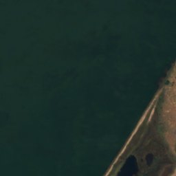
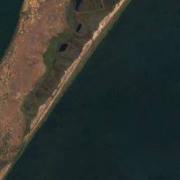


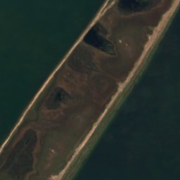



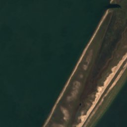

Satelita: Sentinel-2 cloudless 2016 – EOX IT Services GmbH · CC BY 4.0 · Zawiera zmodyfikowane dane Copernicus Sentinel (2016)
Mbabala Island, Luapula Province
Samfya, Luapula Province
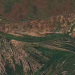
Satelita: Sentinel-2 cloudless 2016 – EOX IT Services GmbH · CC BY 4.0 · Zawiera zmodyfikowane dane Copernicus Sentinel (2016)
Kakumba Island
Kazungula, Southern Province
923 m
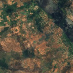
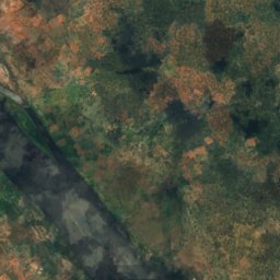
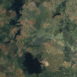
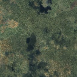
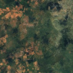
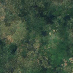
Satelita: Sentinel-2 cloudless 2016 – EOX IT Services GmbH · CC BY 4.0 · Zawiera zmodyfikowane dane Copernicus Sentinel (2016)
Makusi Island
Sesheke, Western Province
952 m
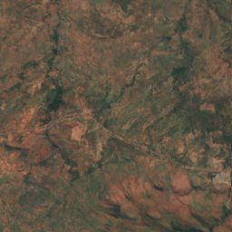
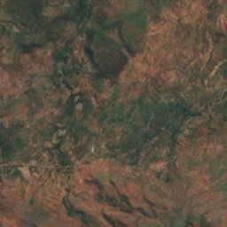
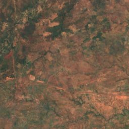
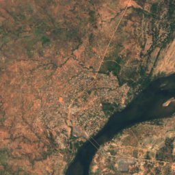
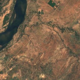
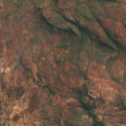
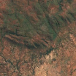
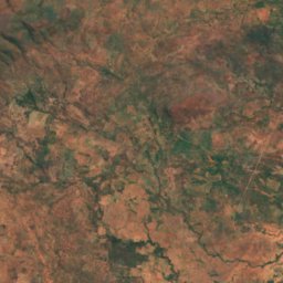
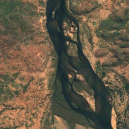
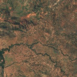
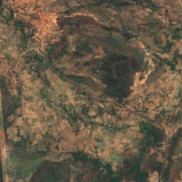
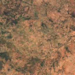
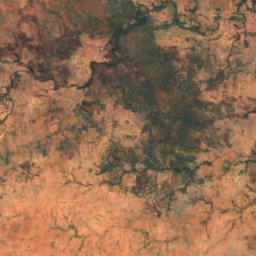
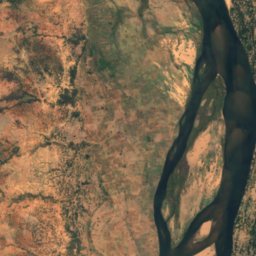
Satelita: Sentinel-2 cloudless 2016 – EOX IT Services GmbH · CC BY 4.0 · Zawiera zmodyfikowane dane Copernicus Sentinel (2016)
Bwarambwa Island
Chirundu, Southern Province
372 m
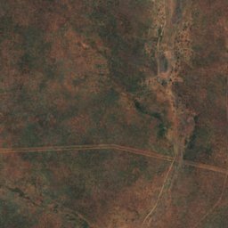
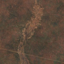
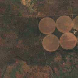
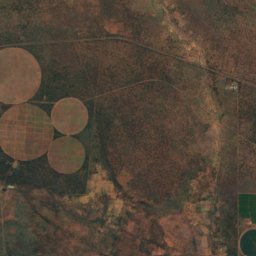
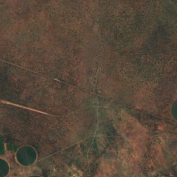
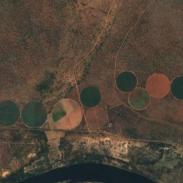
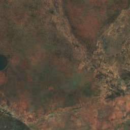
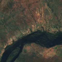
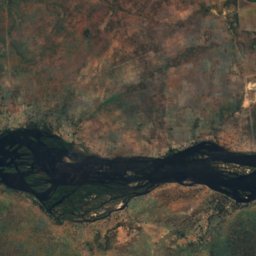
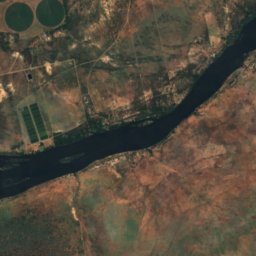
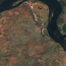
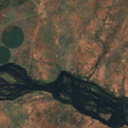
Satelita: Sentinel-2 cloudless 2016 – EOX IT Services GmbH · CC BY 4.0 · Zawiera zmodyfikowane dane Copernicus Sentinel (2016)
Chundu Island
Livingstone, Southern Province
926 m
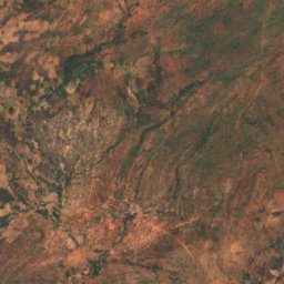
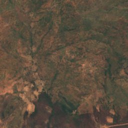
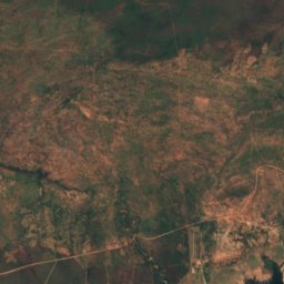
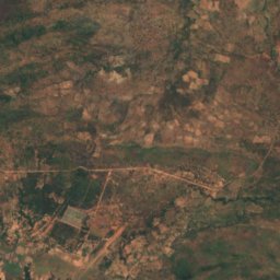
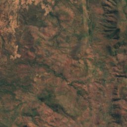
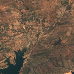
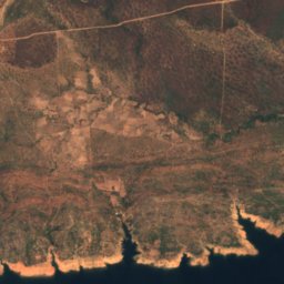
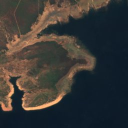
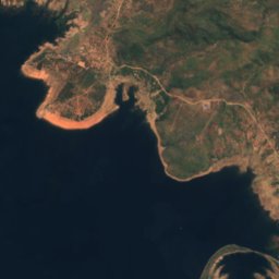
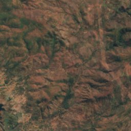
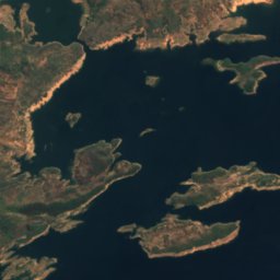
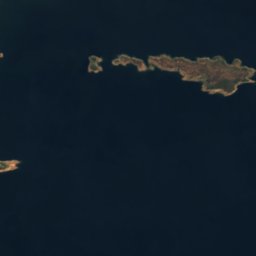

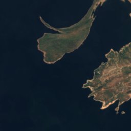
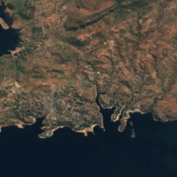
Satelita: Sentinel-2 cloudless 2016 – EOX IT Services GmbH · CC BY 4.0 · Zawiera zmodyfikowane dane Copernicus Sentinel (2016)
Gulila
Siavonga, Southern Province
490 m
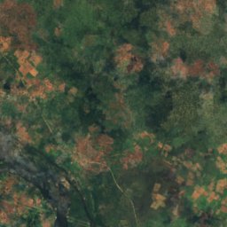
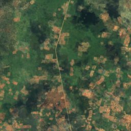
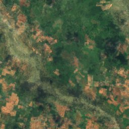
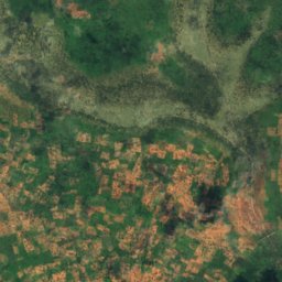
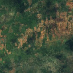
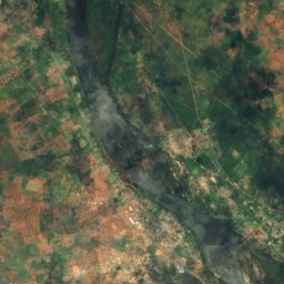
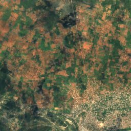
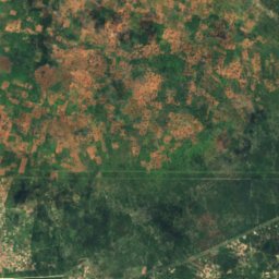
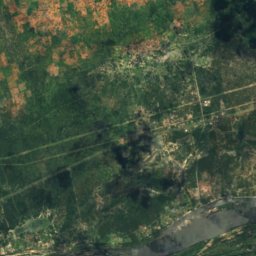
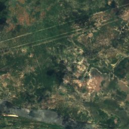
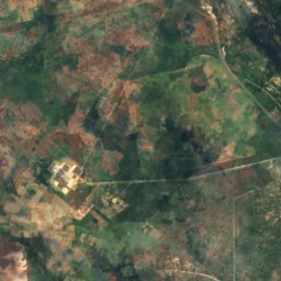
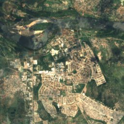
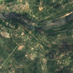
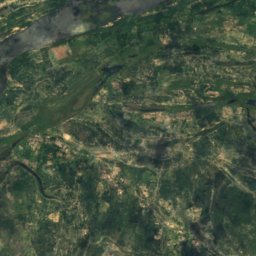
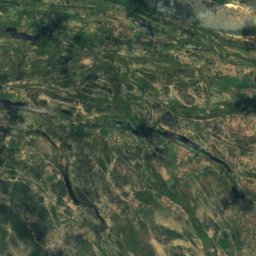
Satelita: Sentinel-2 cloudless 2016 – EOX IT Services GmbH · CC BY 4.0 · Zawiera zmodyfikowane dane Copernicus Sentinel (2016)
Hippo Island
Sesheke, Western Province
945 m
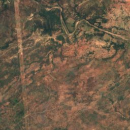
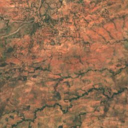
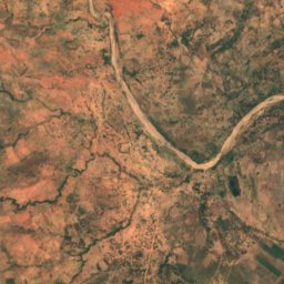
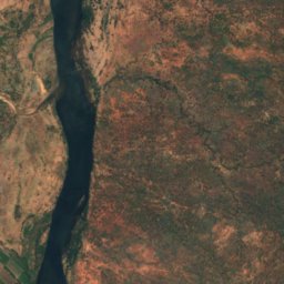
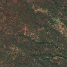
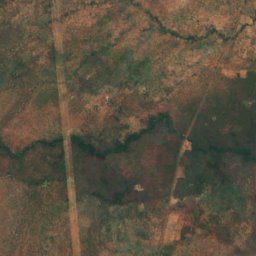
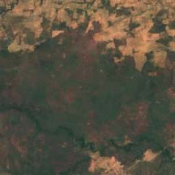
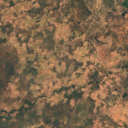
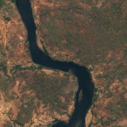
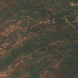
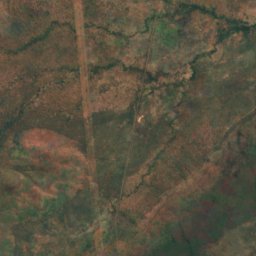
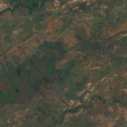
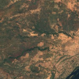
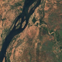
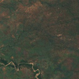
Satelita: Sentinel-2 cloudless 2016 – EOX IT Services GmbH · CC BY 4.0 · Zawiera zmodyfikowane dane Copernicus Sentinel (2016)
Indafamnene
Chirundu, Southern Province
402 m
Pełna lista (40): wyspy
- Bwarambwa Island
- Chundu Island
- Gulila
- Hippo Island
- Impalila
- Indafamnene
- Isolionke
- Kachikabwe
- Kakumba Island
- Kandahar Island
- Karawe Island
- Kumbula Island
- Little Nakatembwi
- Luanza
- Lukama
- Lusibi
- Lwaando Island
- Makeni
- Makusi Island
- Mangundu
- Manyekanga
- Maoma
- Mbabala Island, Luapula Province
- Mbabala Island, Luapula Province
- Mbalangwe
- Musungura Island
- Mutondwe Island
- Nantanga
- Palatema Island
- Palm Island
- Pombwe Island
- Sakasiba
- Samahongo
- Samingaula
- Sampakaruma Island
- Sekute Island
- Selenge Island
- Sizila
- Sowe Island
- Tembwichisibi Island
Rzeki
Rzeki Zambii
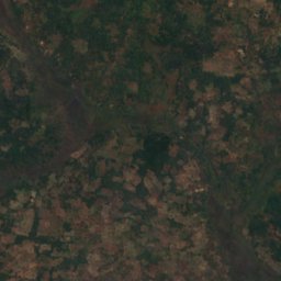
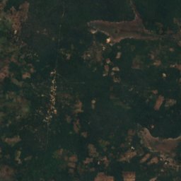
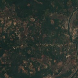
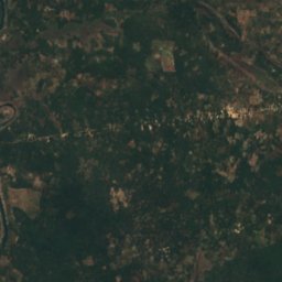
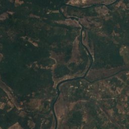
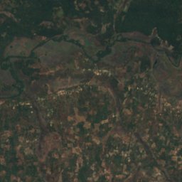
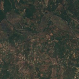
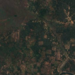
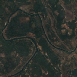
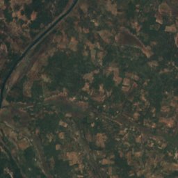
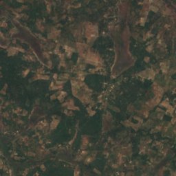
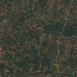


Satelita: Sentinel-2 cloudless 2016 – EOX IT Services GmbH · CC BY 4.0 · Zawiera zmodyfikowane dane Copernicus Sentinel (2016)
Kafubu River
Mpongwe, Copperbelt