Natura
Acque, ghiacci e spazi selvaggi dello Zambia
Laghi, cascate, ghiacciai, parchi nazionali e rifugi di montagna, ognuno con la sua posizione, le sue dimensioni e il meteo delle località vicine.
Laghi2con una pagina propria
Cascate5con una pagina propria
Parchi nazionali1con una pagina propria
Isole40con una pagina propria

Laghi
Laghi dello Zambia

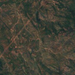
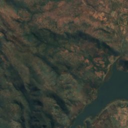
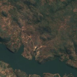
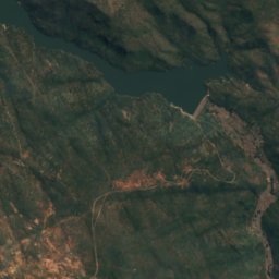
Satellite: Sentinel-2 cloudless 2016 di EOX IT Services GmbH · CC BY 4.0 · Contiene dati Copernicus Sentinel modificati (2016)
Kafue Gorge
Kafue, Lusaka Province
975 m
Cascate
Cascate dello Zambia


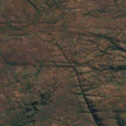
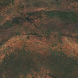
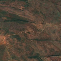
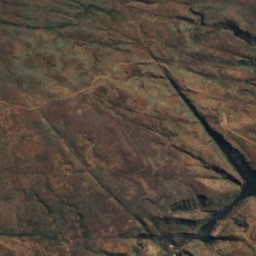
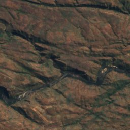
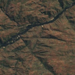
Satellite: Sentinel-2 cloudless 2016 di EOX IT Services GmbH · CC BY 4.0 · Contiene dati Copernicus Sentinel modificati (2016)
Ichidi Falls
Livingstone, Southern Province
789 m
Satellite: Sentinel-2 cloudless 2016 di EOX IT Services GmbH · CC BY 4.0 · Contiene dati Copernicus Sentinel modificati (2016)
Lombelombe Falls
Livingstone, Southern Province
682 m
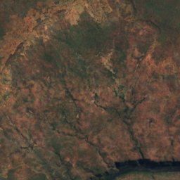
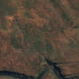
Satellite: Sentinel-2 cloudless 2016 di EOX IT Services GmbH · CC BY 4.0 · Contiene dati Copernicus Sentinel modificati (2016)
Moemba Falls
Livingstone, Southern Province
694 m
Parchi nazionali
Parchi nazionali dello Zambia
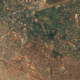
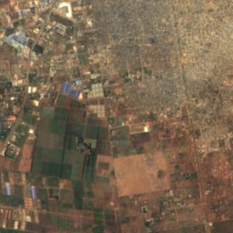
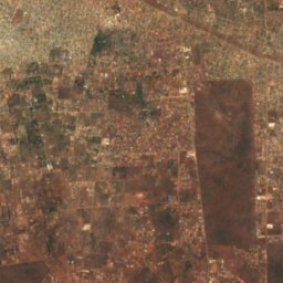
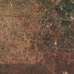
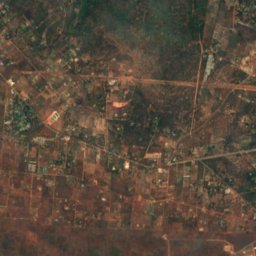
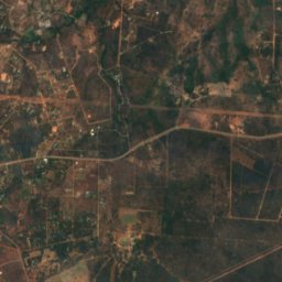
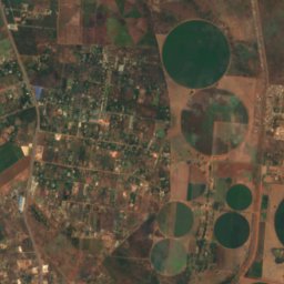
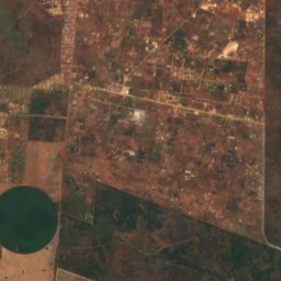
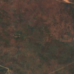
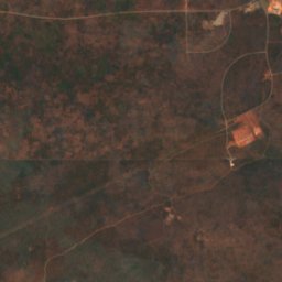
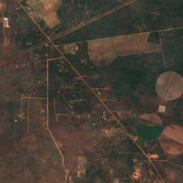
Satellite: Sentinel-2 cloudless 2016 di EOX IT Services GmbH · CC BY 4.0 · Contiene dati Copernicus Sentinel modificati (2016)
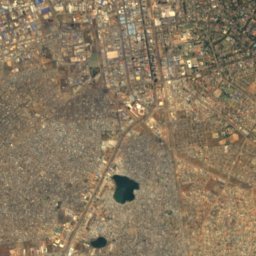
Lusaka National Park
Lusaka, Lusaka Province
Isole
Isole dello Zambia
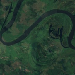
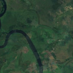
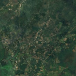
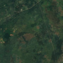
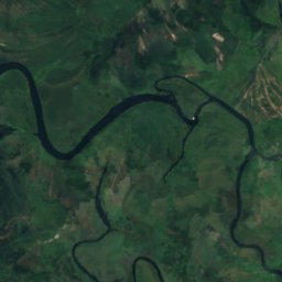
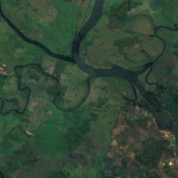
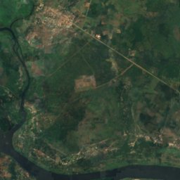
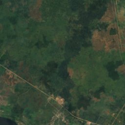
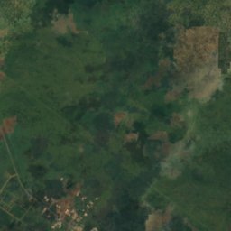
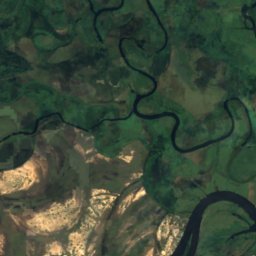
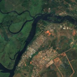
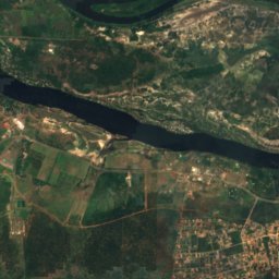
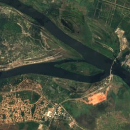
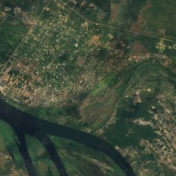
Satellite: Sentinel-2 cloudless 2016 di EOX IT Services GmbH · CC BY 4.0 · Contiene dati Copernicus Sentinel modificati (2016)
Impalila
Kazungula, Southern Province
932 m


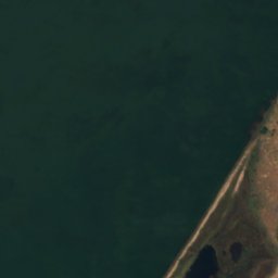
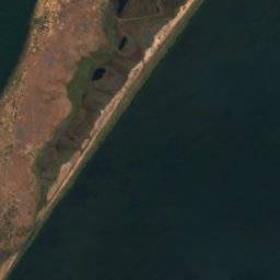


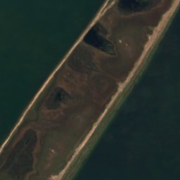



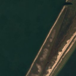

Satellite: Sentinel-2 cloudless 2016 di EOX IT Services GmbH · CC BY 4.0 · Contiene dati Copernicus Sentinel modificati (2016)
Mbabala Island, Luapula Province
Samfya, Luapula Province
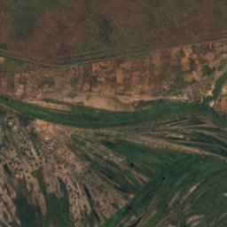
Satellite: Sentinel-2 cloudless 2016 di EOX IT Services GmbH · CC BY 4.0 · Contiene dati Copernicus Sentinel modificati (2016)
Kakumba Island
Kazungula, Southern Province
923 m
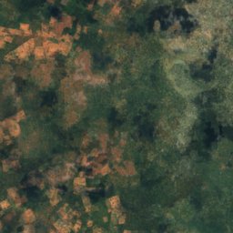
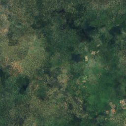
Satellite: Sentinel-2 cloudless 2016 di EOX IT Services GmbH · CC BY 4.0 · Contiene dati Copernicus Sentinel modificati (2016)
Makusi Island
Sesheke, Western Province
952 m
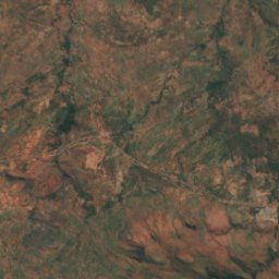
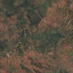
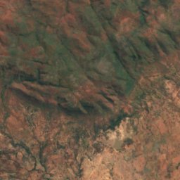
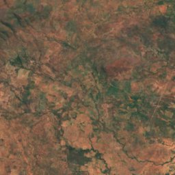
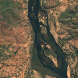
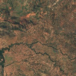
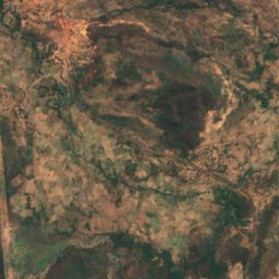
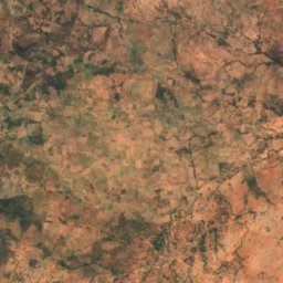
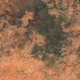
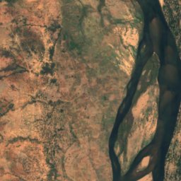
Satellite: Sentinel-2 cloudless 2016 di EOX IT Services GmbH · CC BY 4.0 · Contiene dati Copernicus Sentinel modificati (2016)
Bwarambwa Island
Chirundu, Southern Province
372 m
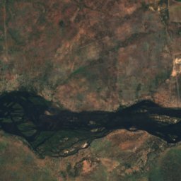
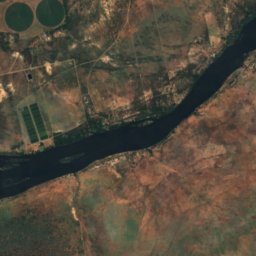
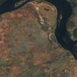
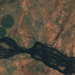
Satellite: Sentinel-2 cloudless 2016 di EOX IT Services GmbH · CC BY 4.0 · Contiene dati Copernicus Sentinel modificati (2016)
Chundu Island
Livingstone, Southern Province
926 m
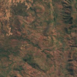
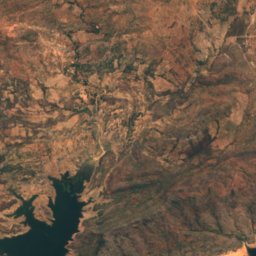
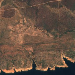
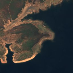
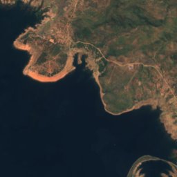
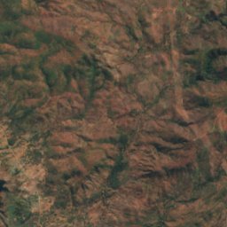
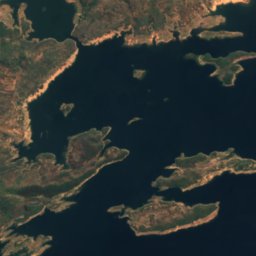
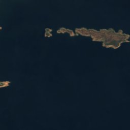

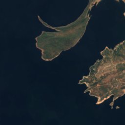
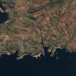
Satellite: Sentinel-2 cloudless 2016 di EOX IT Services GmbH · CC BY 4.0 · Contiene dati Copernicus Sentinel modificati (2016)
Gulila
Siavonga, Southern Province
490 m
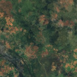
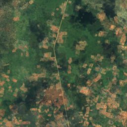
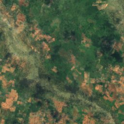
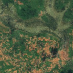
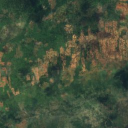
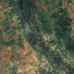
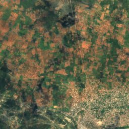
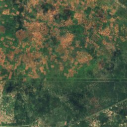
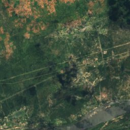
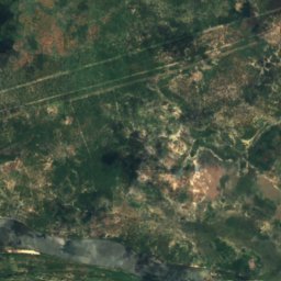
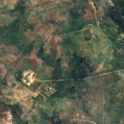
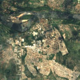
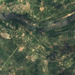
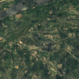
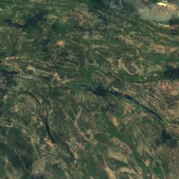
Satellite: Sentinel-2 cloudless 2016 di EOX IT Services GmbH · CC BY 4.0 · Contiene dati Copernicus Sentinel modificati (2016)
Hippo Island
Sesheke, Western Province
945 m
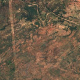
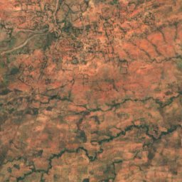
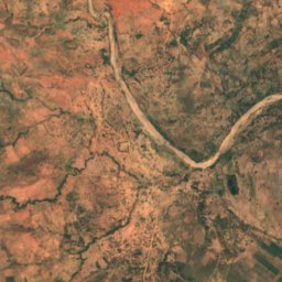
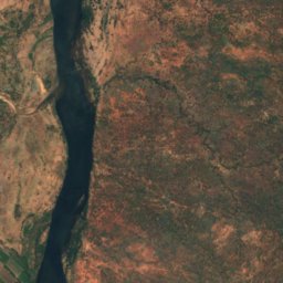
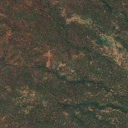
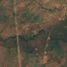
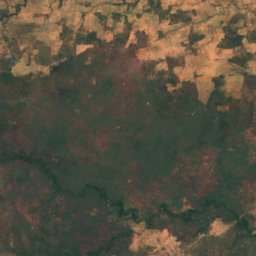
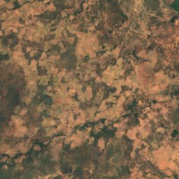
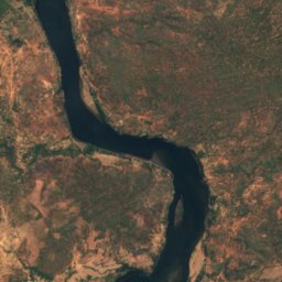
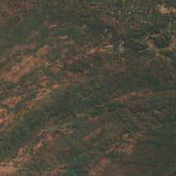
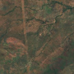
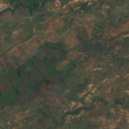
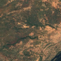
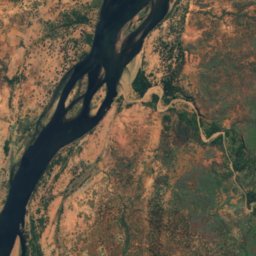
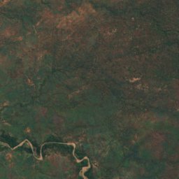
Satellite: Sentinel-2 cloudless 2016 di EOX IT Services GmbH · CC BY 4.0 · Contiene dati Copernicus Sentinel modificati (2016)
Indafamnene
Chirundu, Southern Province
402 m
Elenco completo: 40 isole
- Bwarambwa Island
- Chundu Island
- Gulila
- Hippo Island
- Impalila
- Indafamnene
- Isolionke
- Kachikabwe
- Kakumba Island
- Kandahar Island
- Karawe Island
- Kumbula Island
- Little Nakatembwi
- Luanza
- Lukama
- Lusibi
- Lwaando Island
- Makeni
- Makusi Island
- Mangundu
- Manyekanga
- Maoma
- Mbabala Island, Luapula Province
- Mbabala Island, Luapula Province
- Mbalangwe
- Musungura Island
- Mutondwe Island
- Nantanga
- Palatema Island
- Palm Island
- Pombwe Island
- Sakasiba
- Samahongo
- Samingaula
- Sampakaruma Island
- Sekute Island
- Selenge Island
- Sizila
- Sowe Island
- Tembwichisibi Island
Fiumi
Fiumi dello Zambia
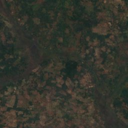
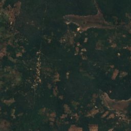
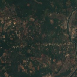
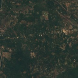
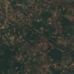
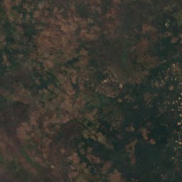
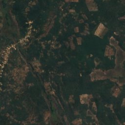
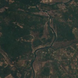
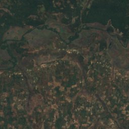
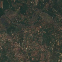
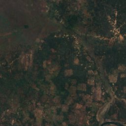
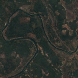
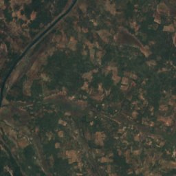
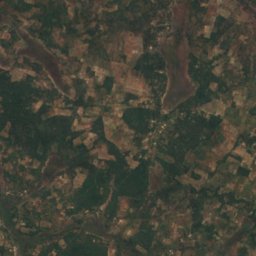
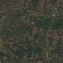


Satellite: Sentinel-2 cloudless 2016 di EOX IT Services GmbH · CC BY 4.0 · Contiene dati Copernicus Sentinel modificati (2016)
Kafubu River
Mpongwe, Copperbelt