自然
ザンビアの水辺、氷河、原野
湖、滝、氷河、国立公園、山小屋。それぞれの場所、規模、周辺の天気を掲載。
湖2か所(個別ページあり)
滝5か所(個別ページあり)
国立公園1か所(個別ページあり)
島40か所(個別ページあり)

湖
ザンビアの湖

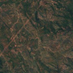
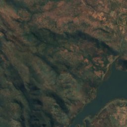
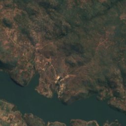
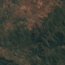
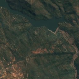
衛星: Sentinel-2 cloudless 2016(EOX IT Services GmbH) · CC BY 4.0 · 改変したCopernicus Sentinelデータ(2016年)を含みます
Kafue Gorge
Kafue, Lusaka Province
975 m
滝
ザンビアの滝


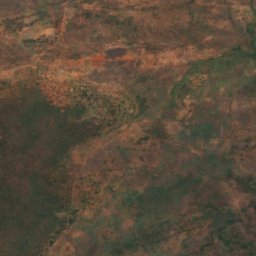
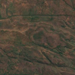
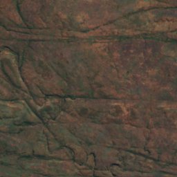
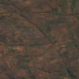
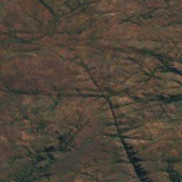
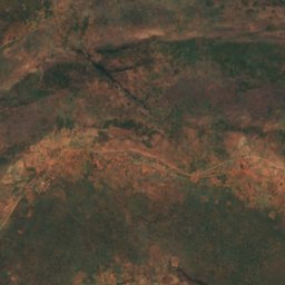
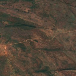
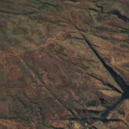
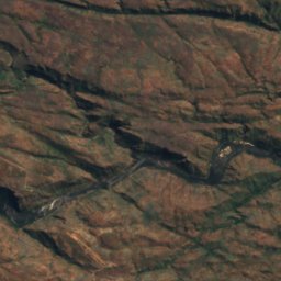
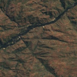
衛星: Sentinel-2 cloudless 2016(EOX IT Services GmbH) · CC BY 4.0 · 改変したCopernicus Sentinelデータ(2016年)を含みます
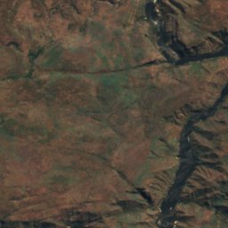
Ichidi Falls
Livingstone, Southern Province
789 m
衛星: Sentinel-2 cloudless 2016(EOX IT Services GmbH) · CC BY 4.0 · 改変したCopernicus Sentinelデータ(2016年)を含みます
Lombelombe Falls
Livingstone, Southern Province
682 m
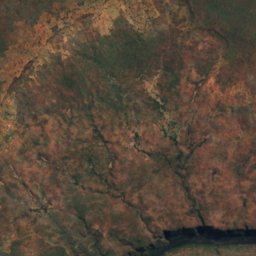
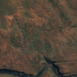
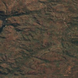
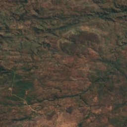
衛星: Sentinel-2 cloudless 2016(EOX IT Services GmbH) · CC BY 4.0 · 改変したCopernicus Sentinelデータ(2016年)を含みます
Moemba Falls
Livingstone, Southern Province
694 m
国立公園
ザンビアの国立公園
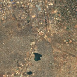
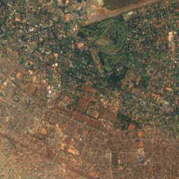
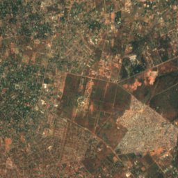
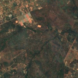
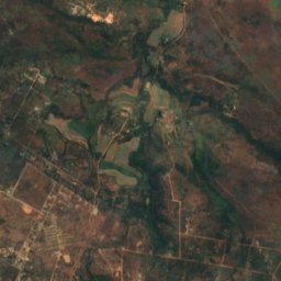
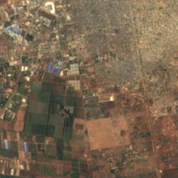
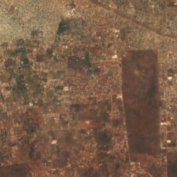
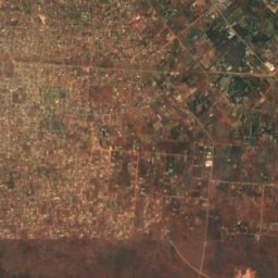
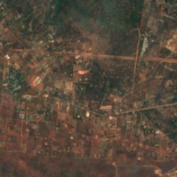
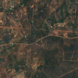
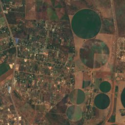
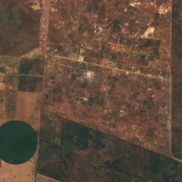
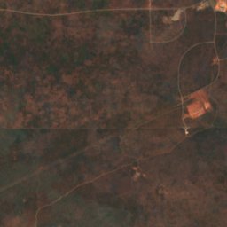
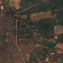
衛星: Sentinel-2 cloudless 2016(EOX IT Services GmbH) · CC BY 4.0 · 改変したCopernicus Sentinelデータ(2016年)を含みます
Lusaka National Park
Lusaka, Lusaka Province
島
ザンビアの島
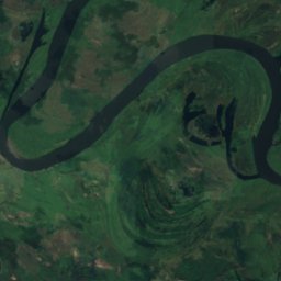
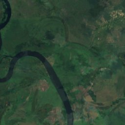
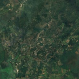
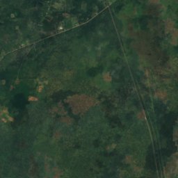
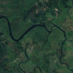
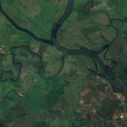
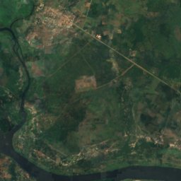
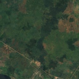
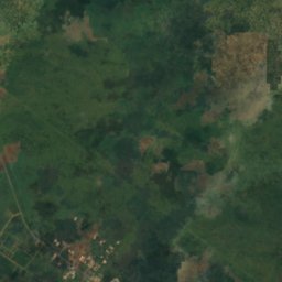
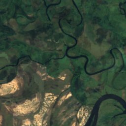
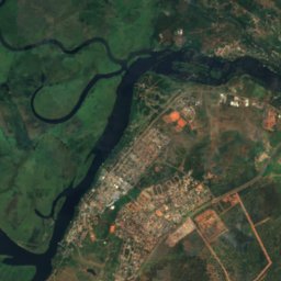
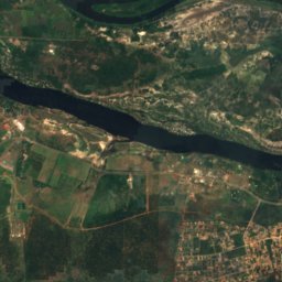
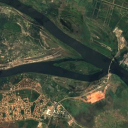
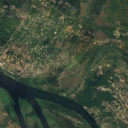
衛星: Sentinel-2 cloudless 2016(EOX IT Services GmbH) · CC BY 4.0 · 改変したCopernicus Sentinelデータ(2016年)を含みます
Impalila
Kazungula, Southern Province
932 m


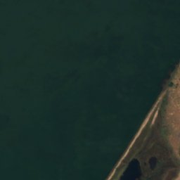
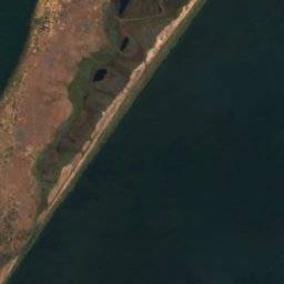


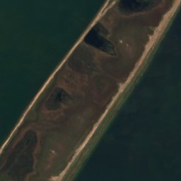



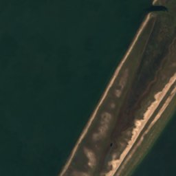

衛星: Sentinel-2 cloudless 2016(EOX IT Services GmbH) · CC BY 4.0 · 改変したCopernicus Sentinelデータ(2016年)を含みます
Mbabala Island, Luapula Province
Samfya, Luapula Province
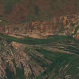
衛星: Sentinel-2 cloudless 2016(EOX IT Services GmbH) · CC BY 4.0 · 改変したCopernicus Sentinelデータ(2016年)を含みます
Kakumba Island
Kazungula, Southern Province
923 m
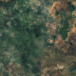
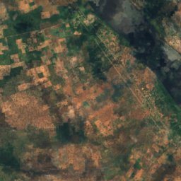
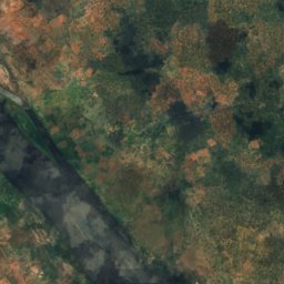
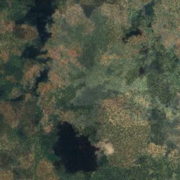
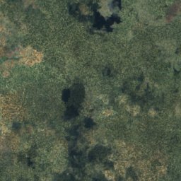
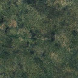
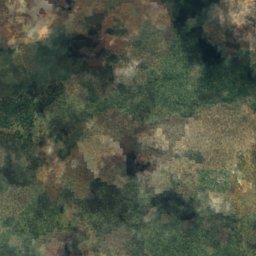
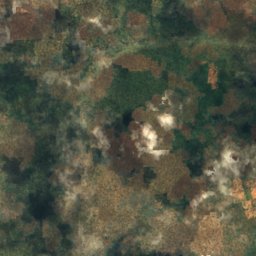
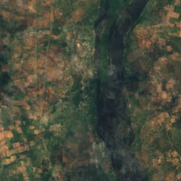
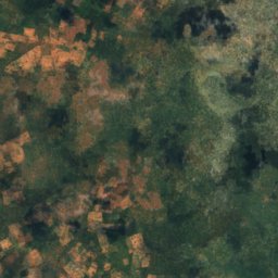
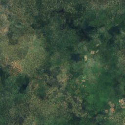
衛星: Sentinel-2 cloudless 2016(EOX IT Services GmbH) · CC BY 4.0 · 改変したCopernicus Sentinelデータ(2016年)を含みます
Makusi Island
Sesheke, Western Province
952 m
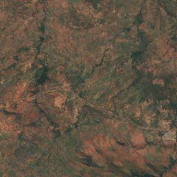
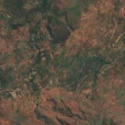
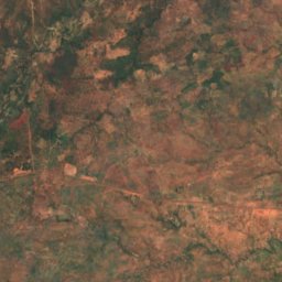
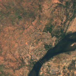
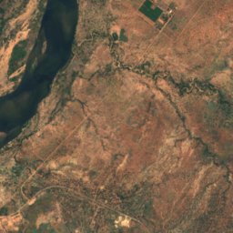
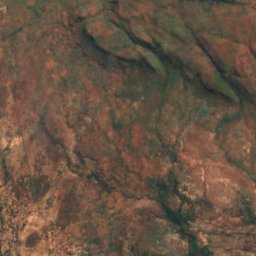
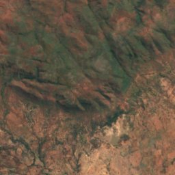
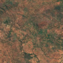
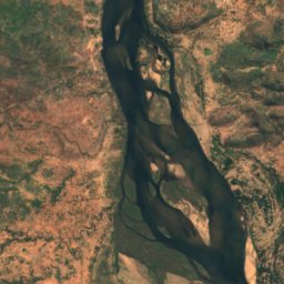
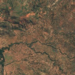
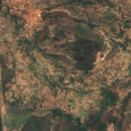
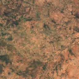
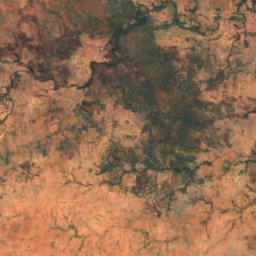
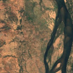
衛星: Sentinel-2 cloudless 2016(EOX IT Services GmbH) · CC BY 4.0 · 改変したCopernicus Sentinelデータ(2016年)を含みます
Bwarambwa Island
Chirundu, Southern Province
372 m
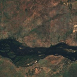
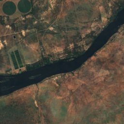
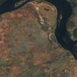
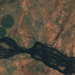
衛星: Sentinel-2 cloudless 2016(EOX IT Services GmbH) · CC BY 4.0 · 改変したCopernicus Sentinelデータ(2016年)を含みます
Chundu Island
Livingstone, Southern Province
926 m
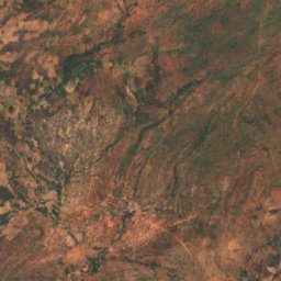
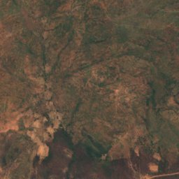
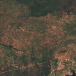
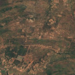
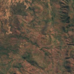
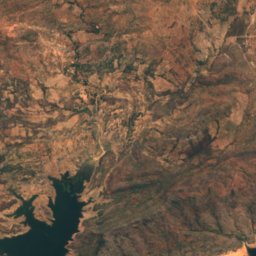
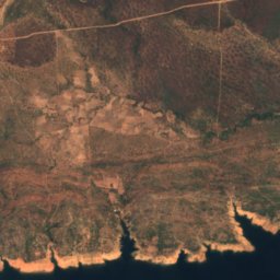
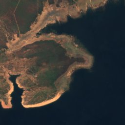
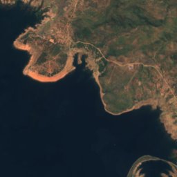
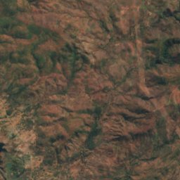
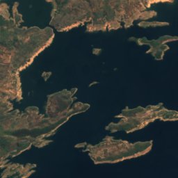
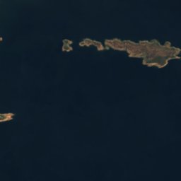

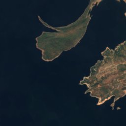
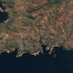
衛星: Sentinel-2 cloudless 2016(EOX IT Services GmbH) · CC BY 4.0 · 改変したCopernicus Sentinelデータ(2016年)を含みます
Gulila
Siavonga, Southern Province
490 m
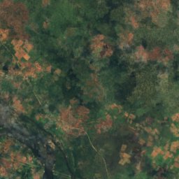
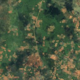
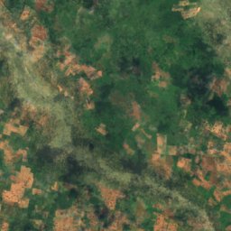
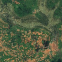
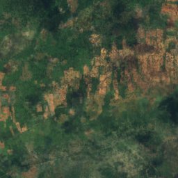
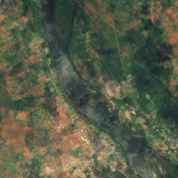
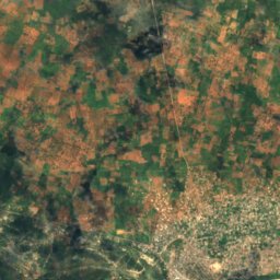
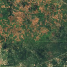
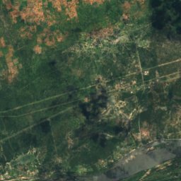
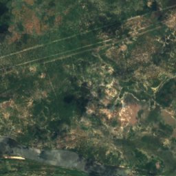
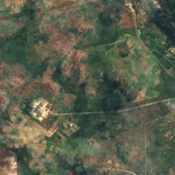
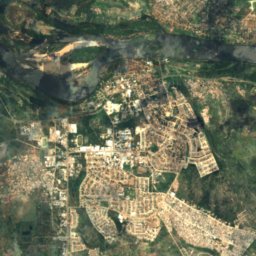
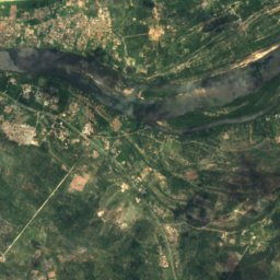
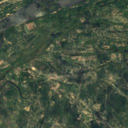
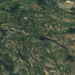
衛星: Sentinel-2 cloudless 2016(EOX IT Services GmbH) · CC BY 4.0 · 改変したCopernicus Sentinelデータ(2016年)を含みます
Hippo Island
Sesheke, Western Province
945 m
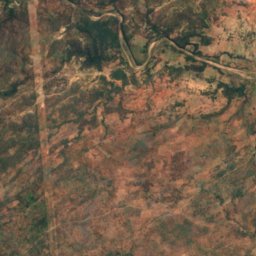
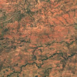
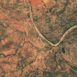
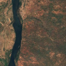
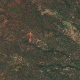
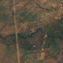
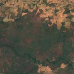
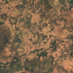
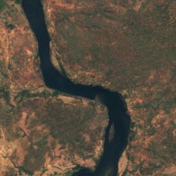
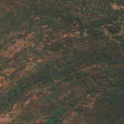
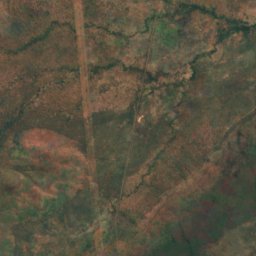
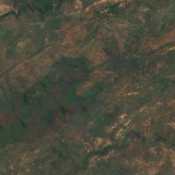
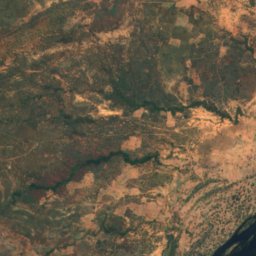
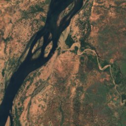
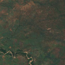
衛星: Sentinel-2 cloudless 2016(EOX IT Services GmbH) · CC BY 4.0 · 改変したCopernicus Sentinelデータ(2016年)を含みます
Indafamnene
Chirundu, Southern Province
402 m
全リスト:島40か所
- Bwarambwa Island
- Chundu Island
- Gulila
- Hippo Island
- Impalila
- Indafamnene
- Isolionke
- Kachikabwe
- Kakumba Island
- Kandahar Island
- Karawe Island
- Kumbula Island
- Little Nakatembwi
- Luanza
- Lukama
- Lusibi
- Lwaando Island
- Makeni
- Makusi Island
- Mangundu
- Manyekanga
- Maoma
- Mbabala Island, Luapula Province
- Mbabala Island, Luapula Province
- Mbalangwe
- Musungura Island
- Mutondwe Island
- Nantanga
- Palatema Island
- Palm Island
- Pombwe Island
- Sakasiba
- Samahongo
- Samingaula
- Sampakaruma Island
- Sekute Island
- Selenge Island
- Sizila
- Sowe Island
- Tembwichisibi Island
川
ザンビアの川
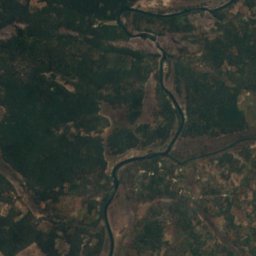
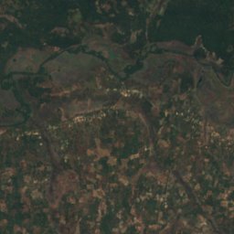
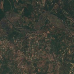
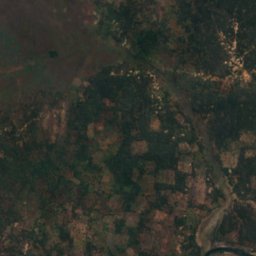
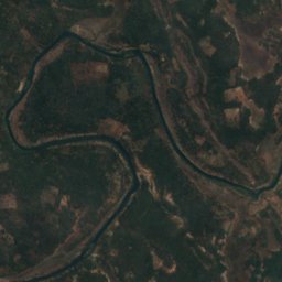
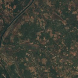
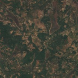
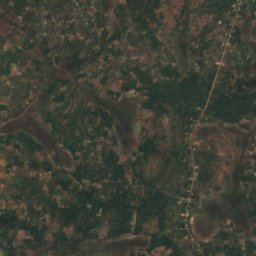


衛星: Sentinel-2 cloudless 2016(EOX IT Services GmbH) · CC BY 4.0 · 改変したCopernicus Sentinelデータ(2016年)を含みます
Kafubu River
Mpongwe, Copperbelt