Nature
Waters, ice and wild places of Sierra Leone
Lakes, waterfalls, glaciers, national parks and mountain huts, each with its location, its size and the weather of the towns around it.
Lakes6with a page
Waterfalls1with a page
Islands26with a page
Rivers4with a page

Lakes
Lakes of Sierra Leone
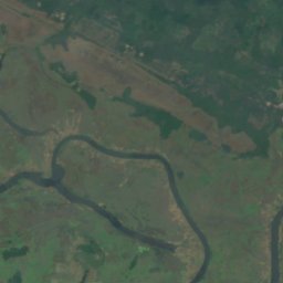
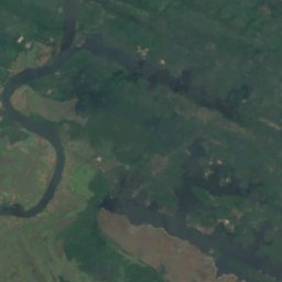
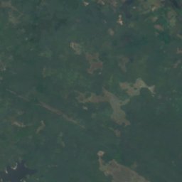
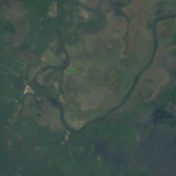
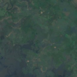
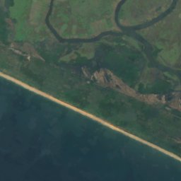
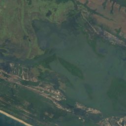
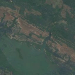
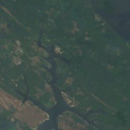
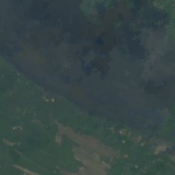

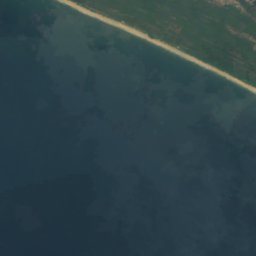
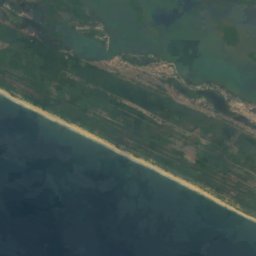
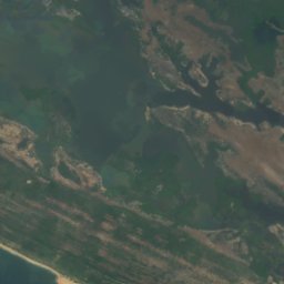
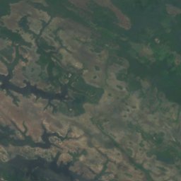
Satellite: Sentinel-2 cloudless 2016 by EOX IT Services GmbH · CC BY 4.0 · Contains modified Copernicus Sentinel data 2016
Lake Mape
Pujehun, Southern Province
20 m
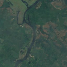
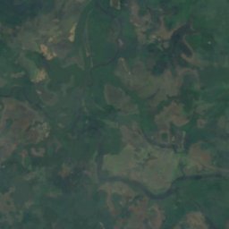
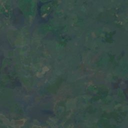
Satellite: Sentinel-2 cloudless 2016 by EOX IT Services GmbH · CC BY 4.0 · Contains modified Copernicus Sentinel data 2016
Lake Mabesi
Pujehun, Southern Province
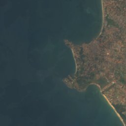
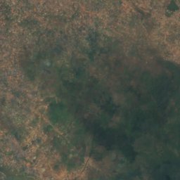
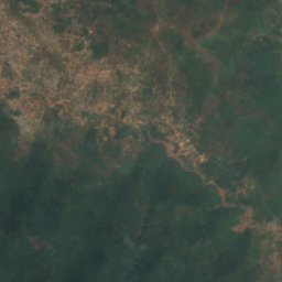
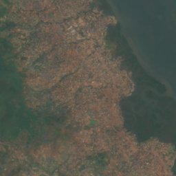
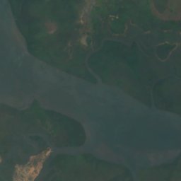
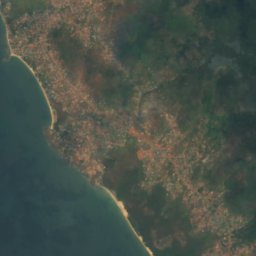
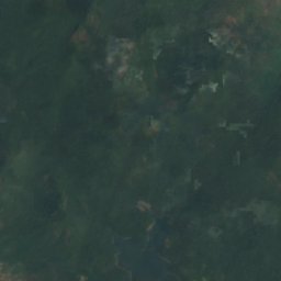
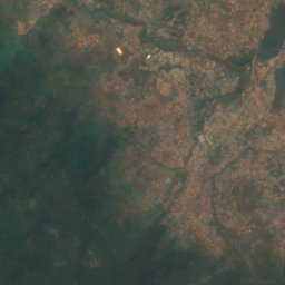
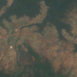

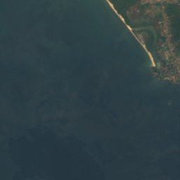
Satellite: Sentinel-2 cloudless 2016 by EOX IT Services GmbH · CC BY 4.0 · Contains modified Copernicus Sentinel data 2016
Guma Reservoir
Hastings, Western Area
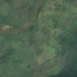
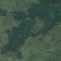
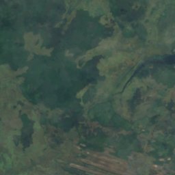
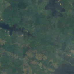
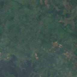
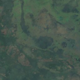
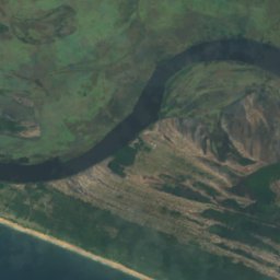
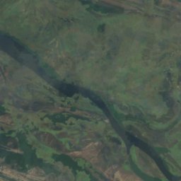
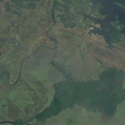
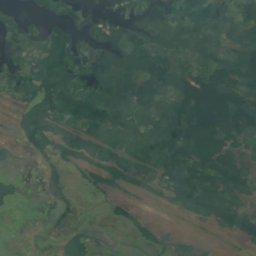
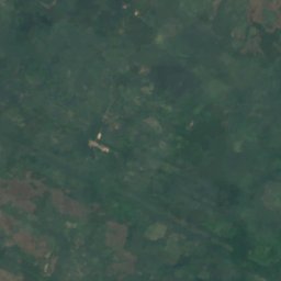
Satellite: Sentinel-2 cloudless 2016 by EOX IT Services GmbH · CC BY 4.0 · Contains modified Copernicus Sentinel data 2016
Lake Baiama
Pujehun, Southern Province
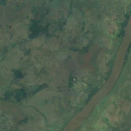
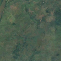
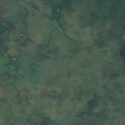
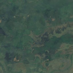
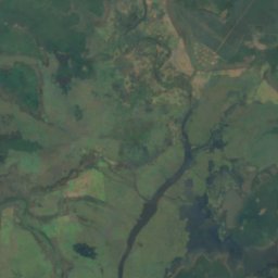
Satellite: Sentinel-2 cloudless 2016 by EOX IT Services GmbH · CC BY 4.0 · Contains modified Copernicus Sentinel data 2016
Lake Kamason
Pujehun, Southern Province
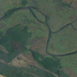
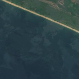
Satellite: Sentinel-2 cloudless 2016 by EOX IT Services GmbH · CC BY 4.0 · Contains modified Copernicus Sentinel data 2016
Lake Masatoi
Pujehun, Southern Province
Waterfalls
Waterfalls of Sierra Leone
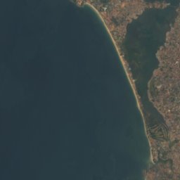
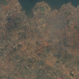
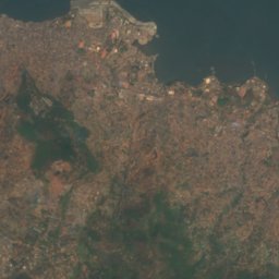
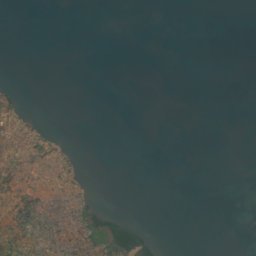
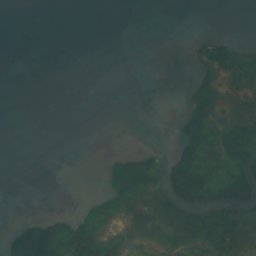
Satellite: Sentinel-2 cloudless 2016 by EOX IT Services GmbH · CC BY 4.0 · Contains modified Copernicus Sentinel data 2016
Bathurst Falls
Freetown, Western Area
391 m
Islands
Islands of Sierra Leone

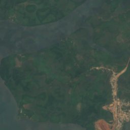
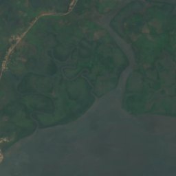
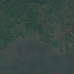
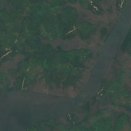
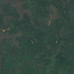
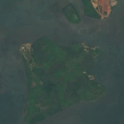
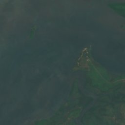
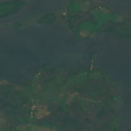
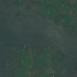
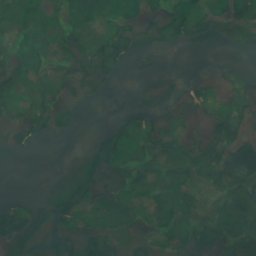
Satellite: Sentinel-2 cloudless 2016 by EOX IT Services GmbH · CC BY 4.0 · Contains modified Copernicus Sentinel data 2016
Kagbeli Island
Cotton Tree, Northern Province
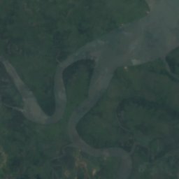
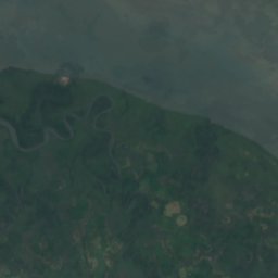
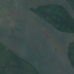
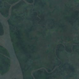
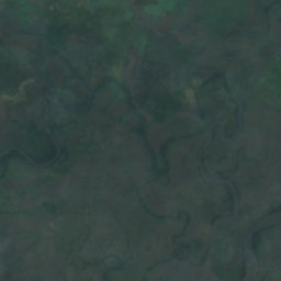
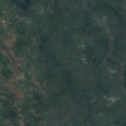
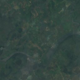
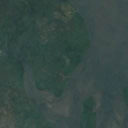
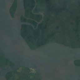
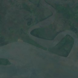
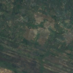
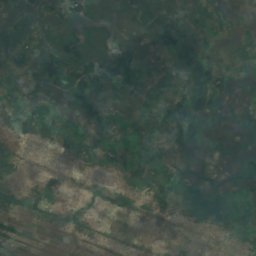
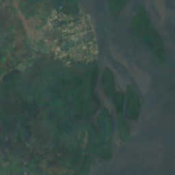
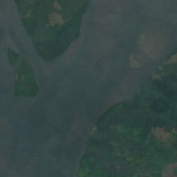
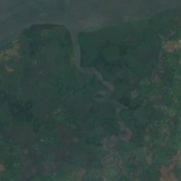
Satellite: Sentinel-2 cloudless 2016 by EOX IT Services GmbH · CC BY 4.0 · Contains modified Copernicus Sentinel data 2016
York Island
Bonthe, Southern Province




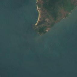


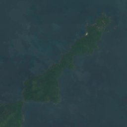




Satellite: Sentinel-2 cloudless 2016 by EOX IT Services GmbH · CC BY 4.0 · Contains modified Copernicus Sentinel data 2016
Dublin, Banana Islands
Waterloo, Western Area
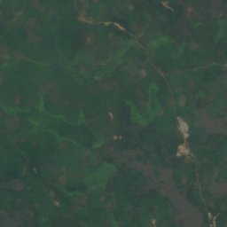
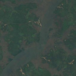
Satellite: Sentinel-2 cloudless 2016 by EOX IT Services GmbH · CC BY 4.0 · Contains modified Copernicus Sentinel data 2016
Timbo Island
Cotton Tree, Northern Province
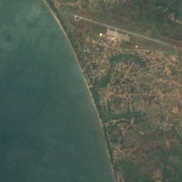
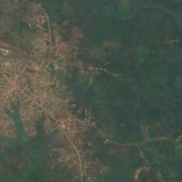
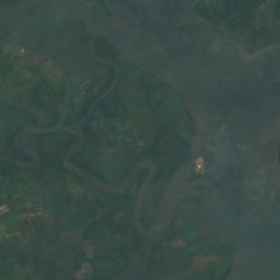
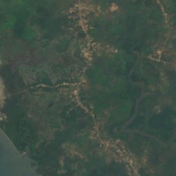
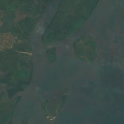

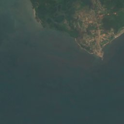
Satellite: Sentinel-2 cloudless 2016 by EOX IT Services GmbH · CC BY 4.0 · Contains modified Copernicus Sentinel data 2016
Tasso Island
Cotton Tree, Northern Province
Satellite: Sentinel-2 cloudless 2016 by EOX IT Services GmbH · CC BY 4.0 · Contains modified Copernicus Sentinel data 2016
Allridge Island
Bonthe, Southern Province
6 m
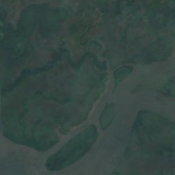
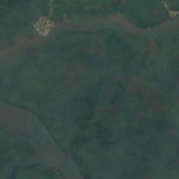
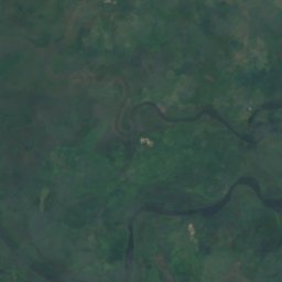
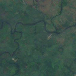
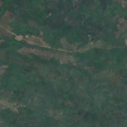
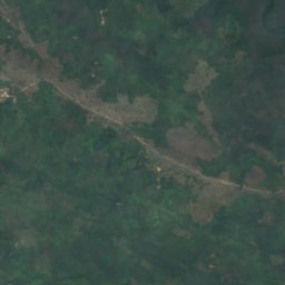
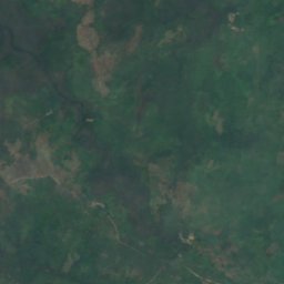
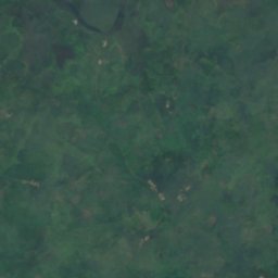
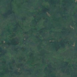
Satellite: Sentinel-2 cloudless 2016 by EOX IT Services GmbH · CC BY 4.0 · Contains modified Copernicus Sentinel data 2016
Bainde Island
Bonthe, Southern Province
4 m
All 26 islands
- Allridge Island
- Bainde Island
- Bankapia Island
- Barrettes Island
- Batibi Island
- Bendu Flat
- Birds Island
- Bobs Island
- Bom Island
- Bunce Island
- Dublin, Banana Islands
- Kagbeli Island
- Mayagba Island
- Sherbro Island
- Tasso Island
- Timbo Island
- Wointi Island
- Yamama Island
- Yelbi Island
- Yelibana Island
- Yeligank Island
- Yelimakant Island
- Yeliwor Island
- Yelkabulo Island
- Yema Island
- York Island
Rivers
Rivers of Sierra Leone



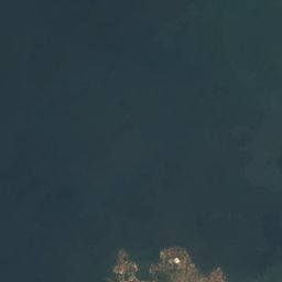
Satellite: Sentinel-2 cloudless 2016 by EOX IT Services GmbH · CC BY 4.0 · Contains modified Copernicus Sentinel data 2016
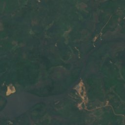
Sierra Leone River
Cotton Tree, Northern Province
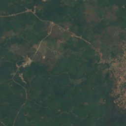
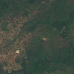
Satellite: Sentinel-2 cloudless 2016 by EOX IT Services GmbH · CC BY 4.0 · Contains modified Copernicus Sentinel data 2016
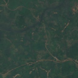
Bankasoka River
Port Loko, North West
6 m


Satellite: Sentinel-2 cloudless 2016 by EOX IT Services GmbH · CC BY 4.0 · Contains modified Copernicus Sentinel data 2016
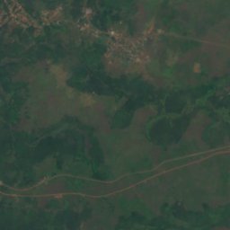
Jong River
Bonthe, Southern Province