자연
시에라리온의 물가, 빙하, 야생
호수, 폭포, 빙하, 국립공원, 산장. 각각의 위치, 규모, 주변 날씨를 소개합니다.
호수6곳(개별 페이지 있음)
폭포1곳(개별 페이지 있음)
섬26곳(개별 페이지 있음)
강4곳(개별 페이지 있음)

호수
시에라리온의 호수
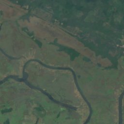
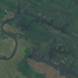
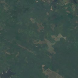
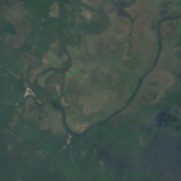
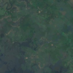
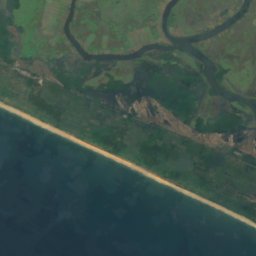
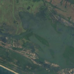
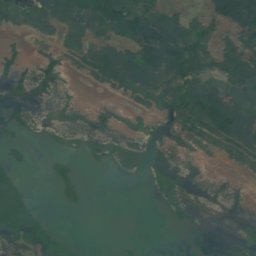
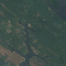
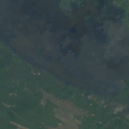

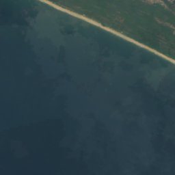
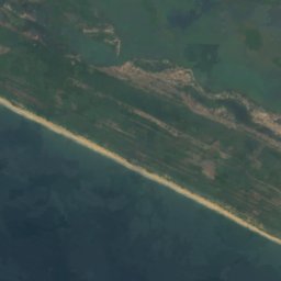
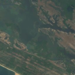
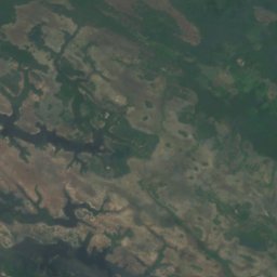
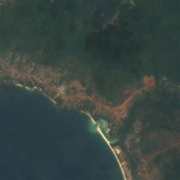
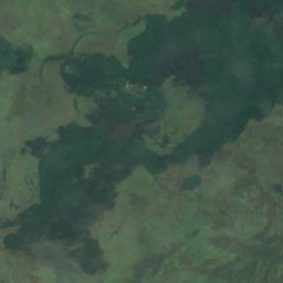
위성: Sentinel-2 cloudless 2016(EOX IT Services GmbH) · CC BY 4.0 · 수정된 Copernicus Sentinel 데이터(2016) 포함
Lake Mape
Pujehun, Southern Province
20 m
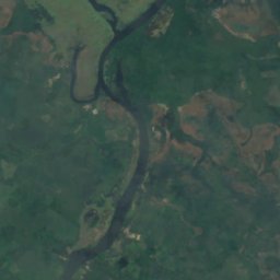
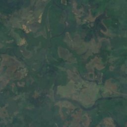
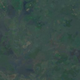
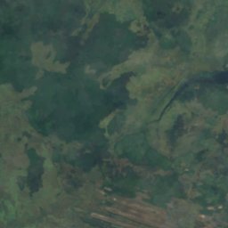
위성: Sentinel-2 cloudless 2016(EOX IT Services GmbH) · CC BY 4.0 · 수정된 Copernicus Sentinel 데이터(2016) 포함
Lake Mabesi
Pujehun, Southern Province
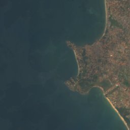
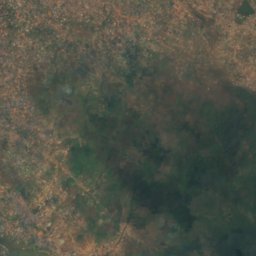
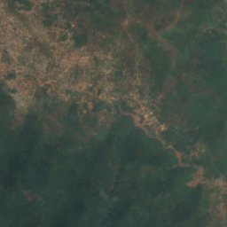
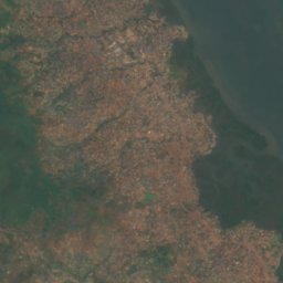
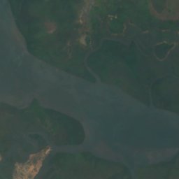
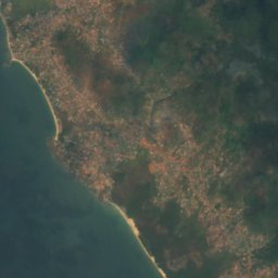
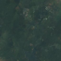
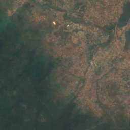
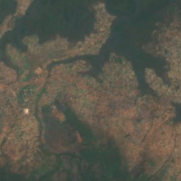

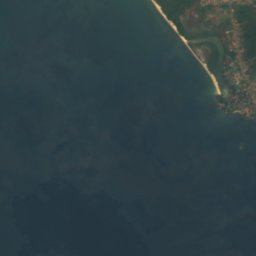
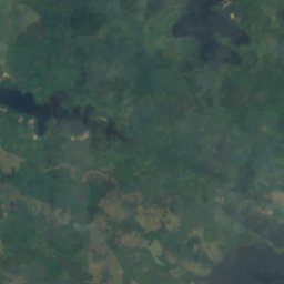
위성: Sentinel-2 cloudless 2016(EOX IT Services GmbH) · CC BY 4.0 · 수정된 Copernicus Sentinel 데이터(2016) 포함
Guma Reservoir
Hastings, Western Area
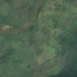
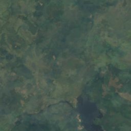
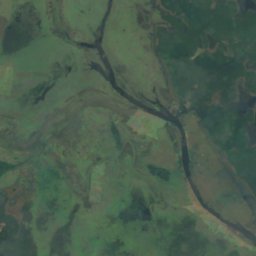
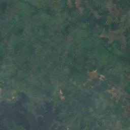
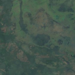
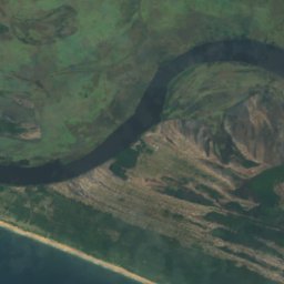
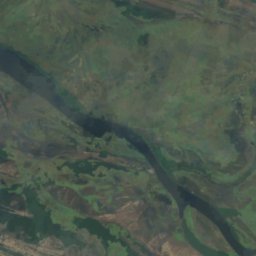
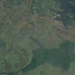
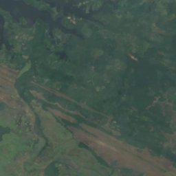
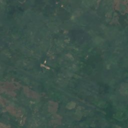
위성: Sentinel-2 cloudless 2016(EOX IT Services GmbH) · CC BY 4.0 · 수정된 Copernicus Sentinel 데이터(2016) 포함
Lake Baiama
Pujehun, Southern Province
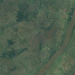
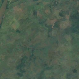
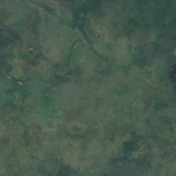
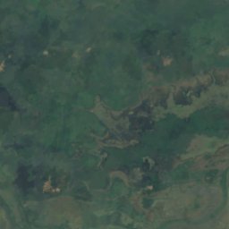
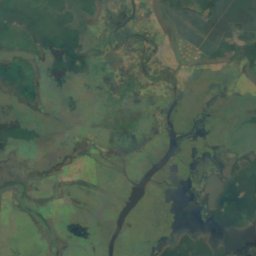
위성: Sentinel-2 cloudless 2016(EOX IT Services GmbH) · CC BY 4.0 · 수정된 Copernicus Sentinel 데이터(2016) 포함
Lake Kamason
Pujehun, Southern Province
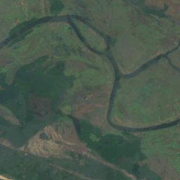
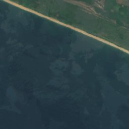
위성: Sentinel-2 cloudless 2016(EOX IT Services GmbH) · CC BY 4.0 · 수정된 Copernicus Sentinel 데이터(2016) 포함
Lake Masatoi
Pujehun, Southern Province
폭포
시에라리온의 폭포
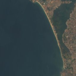
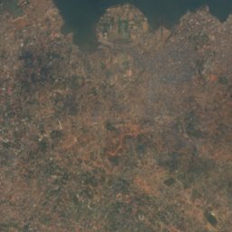
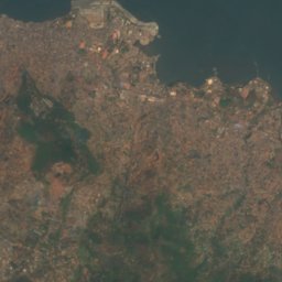
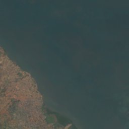
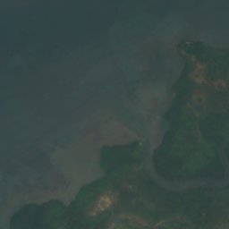
위성: Sentinel-2 cloudless 2016(EOX IT Services GmbH) · CC BY 4.0 · 수정된 Copernicus Sentinel 데이터(2016) 포함
Bathurst Falls
Freetown, Western Area
391 m
섬
시에라리온의 섬

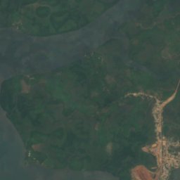
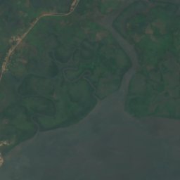
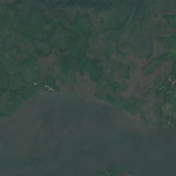
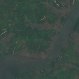
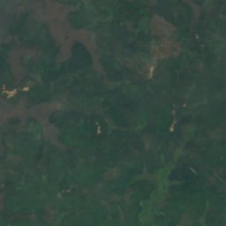
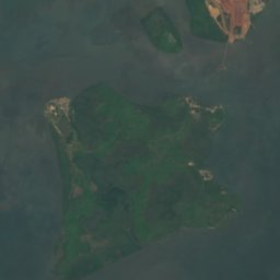
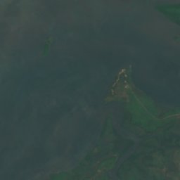
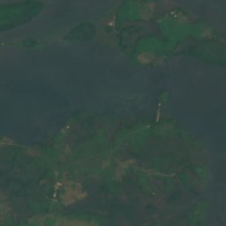
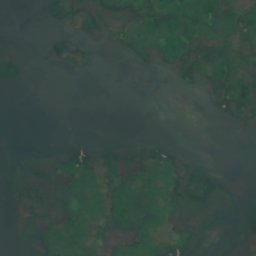
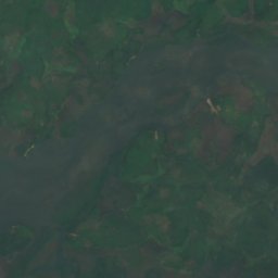
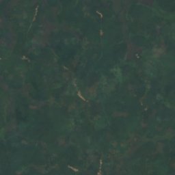
위성: Sentinel-2 cloudless 2016(EOX IT Services GmbH) · CC BY 4.0 · 수정된 Copernicus Sentinel 데이터(2016) 포함
Kagbeli Island
Cotton Tree, Northern Province
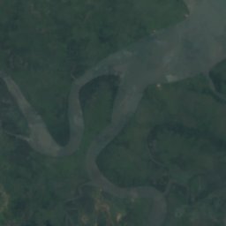
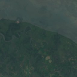
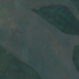
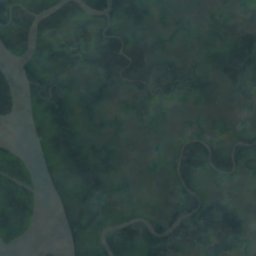
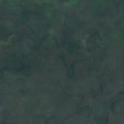
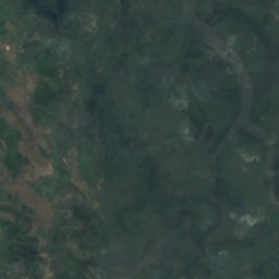
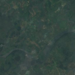
위성: Sentinel-2 cloudless 2016(EOX IT Services GmbH) · CC BY 4.0 · 수정된 Copernicus Sentinel 데이터(2016) 포함
York Island
Bonthe, Southern Province




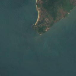


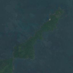




위성: Sentinel-2 cloudless 2016(EOX IT Services GmbH) · CC BY 4.0 · 수정된 Copernicus Sentinel 데이터(2016) 포함
Dublin, Banana Islands
Waterloo, Western Area
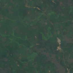
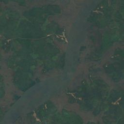
위성: Sentinel-2 cloudless 2016(EOX IT Services GmbH) · CC BY 4.0 · 수정된 Copernicus Sentinel 데이터(2016) 포함
Timbo Island
Cotton Tree, Northern Province
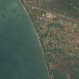
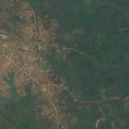
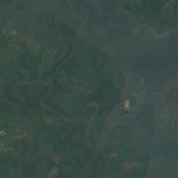
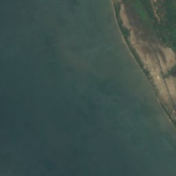
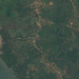
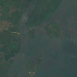

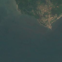
위성: Sentinel-2 cloudless 2016(EOX IT Services GmbH) · CC BY 4.0 · 수정된 Copernicus Sentinel 데이터(2016) 포함
Tasso Island
Cotton Tree, Northern Province
위성: Sentinel-2 cloudless 2016(EOX IT Services GmbH) · CC BY 4.0 · 수정된 Copernicus Sentinel 데이터(2016) 포함
Allridge Island
Bonthe, Southern Province
6 m
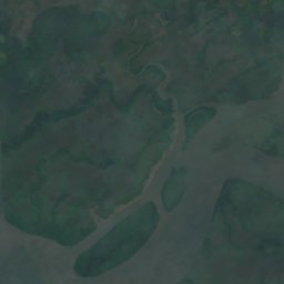
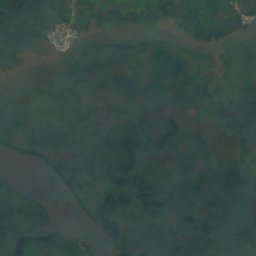
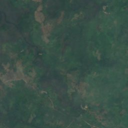
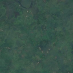
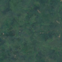
위성: Sentinel-2 cloudless 2016(EOX IT Services GmbH) · CC BY 4.0 · 수정된 Copernicus Sentinel 데이터(2016) 포함
Bainde Island
Bonthe, Southern Province
4 m
전체 목록: 섬 26곳
- Allridge Island
- Bainde Island
- Bankapia Island
- Barrettes Island
- Batibi Island
- Bendu Flat
- Birds Island
- Bobs Island
- Bom Island
- Bunce Island
- Dublin, Banana Islands
- Kagbeli Island
- Mayagba Island
- Sherbro Island
- Tasso Island
- Timbo Island
- Wointi Island
- Yamama Island
- Yelbi Island
- Yelibana Island
- Yeligank Island
- Yelimakant Island
- Yeliwor Island
- Yelkabulo Island
- Yema Island
- York Island
강
시에라리온의 강



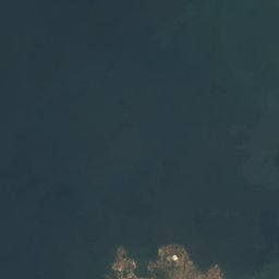
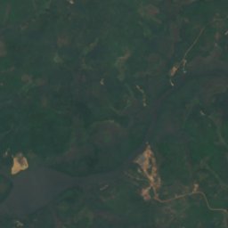
위성: Sentinel-2 cloudless 2016(EOX IT Services GmbH) · CC BY 4.0 · 수정된 Copernicus Sentinel 데이터(2016) 포함
Sierra Leone River
Cotton Tree, Northern Province
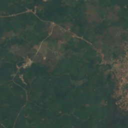
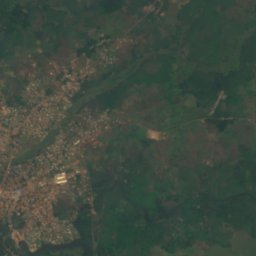
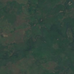
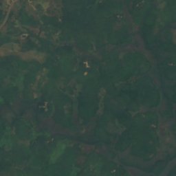
위성: Sentinel-2 cloudless 2016(EOX IT Services GmbH) · CC BY 4.0 · 수정된 Copernicus Sentinel 데이터(2016) 포함
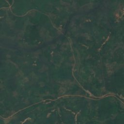
Bankasoka River
Port Loko, North West
6 m


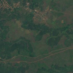
위성: Sentinel-2 cloudless 2016(EOX IT Services GmbH) · CC BY 4.0 · 수정된 Copernicus Sentinel 데이터(2016) 포함
Jong River
Bonthe, Southern Province