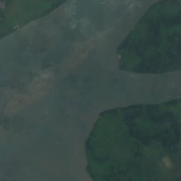
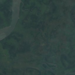
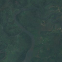
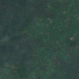
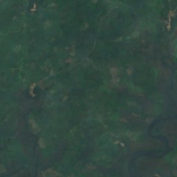
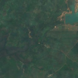
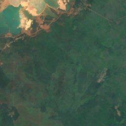
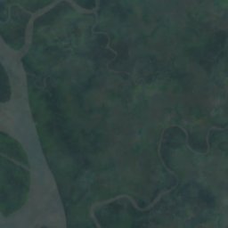
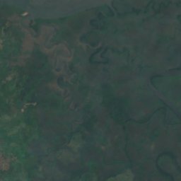
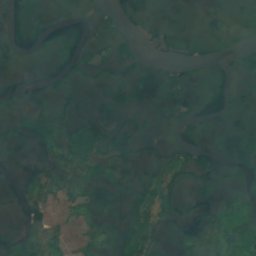
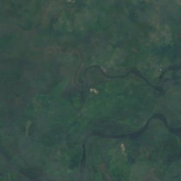
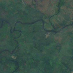
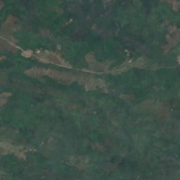
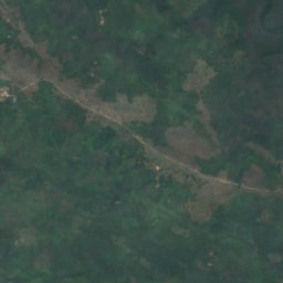
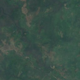
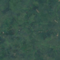
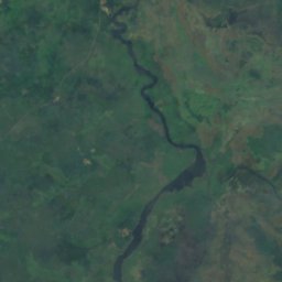
Satellite: Sentinel-2 cloudless 2016 by EOX IT Services GmbH · CC BY 4.0 · Contains modified Copernicus Sentinel data 2016
RiverBonthe, Southern Province
Jong River
RiverBest Jan–Feb · Dec
Elevation–above sea level
Length249 kmsource to mouth
Nearest townBonthe16 km
7.55° N, 12.36° WUTC+0 · Greenwich Mean Time
When to goBonthe · weather score
Best timeJan–Feb · Dec
October: high / low28° / 24°
River
Jong River in brief
Jong River is a river in Bonthe, Southern Province, Sierra Leone.
The nearest town in the atlas is Bonthe, 16 km to the W, where the weather is best in January, February and December.
Jong River is 249 km long.
Weather nearby now
Forecast for Bonthe28°
Cloudy now
Today
22 Oct
30°
24°
4 mm
Fri
23 Oct
31°
24°
7 mm
Sat
24 Oct
30°
24°
5 mm
Sun
25 Oct
31°
25°
4 mm
Mon
26 Oct
30°
25°
3 mm
Model run 00:00 UTCRefreshed several times a day
The course of the river
As mapped in OpenStreetMap, with the towns of the atlas along its banks.sourcemouth (or where the mapped line leaves the country)
Map
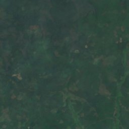
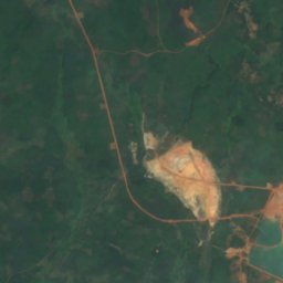
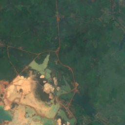
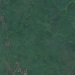
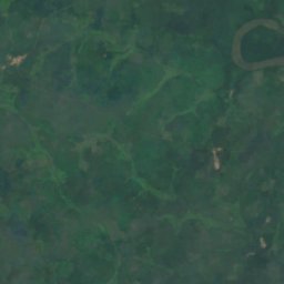
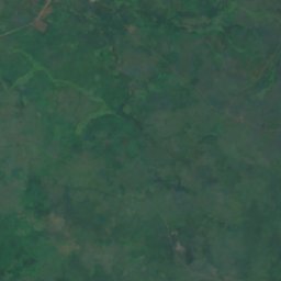
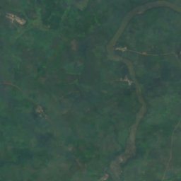
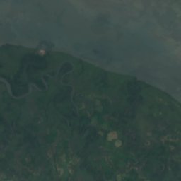
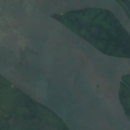
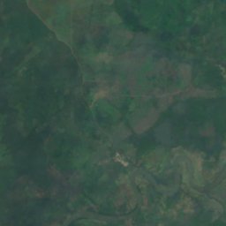
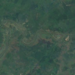
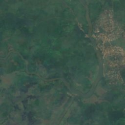
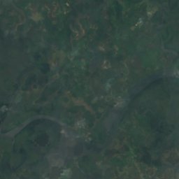
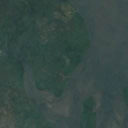
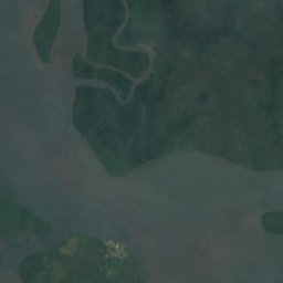
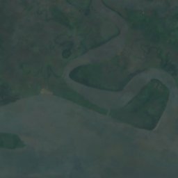
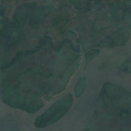
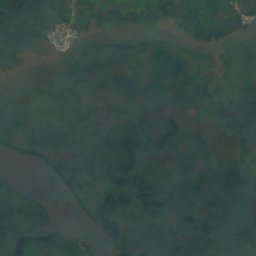
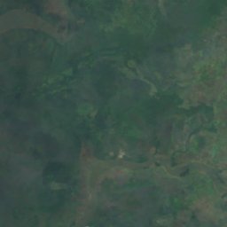
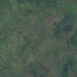
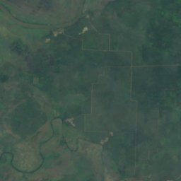
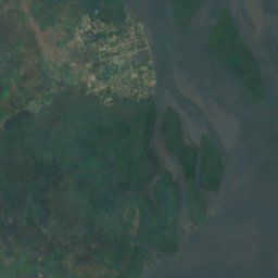
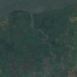
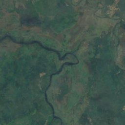
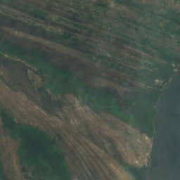
Jong River from above
Nature nearbyAll of Sierra Leone
Satellite: Sentinel-2 cloudless 2016 by EOX IT Services GmbH · CC BY 4.0 · Contains modified Copernicus Sentinel data 2016
Satellite: Sentinel-2 cloudless 2016 by EOX IT Services GmbH · CC BY 4.0 · Contains modified Copernicus Sentinel data 2016
Satellite: Sentinel-2 cloudless 2016 by EOX IT Services GmbH · CC BY 4.0 · Contains modified Copernicus Sentinel data 2016
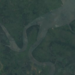
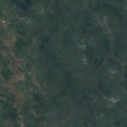
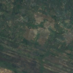
Satellite: Sentinel-2 cloudless 2016 by EOX IT Services GmbH · CC BY 4.0 · Contains modified Copernicus Sentinel data 2016
Satellite: Sentinel-2 cloudless 2016 by EOX IT Services GmbH · CC BY 4.0 · Contains modified Copernicus Sentinel data 2016
Satellite: Sentinel-2 cloudless 2016 by EOX IT Services GmbH · CC BY 4.0 · Contains modified Copernicus Sentinel data 2016
Around here
Bonthe and around


Nature
Satellite: Sentinel-2 cloudless 2016 by EOX IT Services GmbH · CC BY 4.0 · Contains modified Copernicus Sentinel data 2016
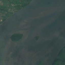
York Island
Island
Satellite: Sentinel-2 cloudless 2016 by EOX IT Services GmbH · CC BY 4.0 · Contains modified Copernicus Sentinel data 2016
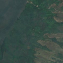
Allridge Island
Island · 6 m
Satellite: Sentinel-2 cloudless 2016 by EOX IT Services GmbH · CC BY 4.0 · Contains modified Copernicus Sentinel data 2016
Barrettes Island
Island · 5 m