ธรรมชาติ
แหล่งน้ำ ธารน้ำแข็ง และธรรมชาติอันกว้างใหญ่ของเซียร์ราลีโอน
ทะเลสาบ น้ำตก ธารน้ำแข็ง อุทยานแห่งชาติ และที่พักบนภูเขา แต่ละแห่งพร้อมที่ตั้ง ขนาด และสภาพอากาศโดยรอบ
ทะเลสาบ6แต่ละแห่งมีหน้าของตัวเอง
น้ำตก1แต่ละแห่งมีหน้าของตัวเอง
เกาะ26แต่ละแห่งมีหน้าของตัวเอง
แม่น้ำ4แต่ละแห่งมีหน้าของตัวเอง

ทะเลสาบ
ทะเลสาบในเซียร์ราลีโอน
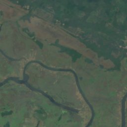
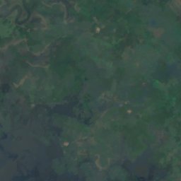
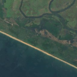
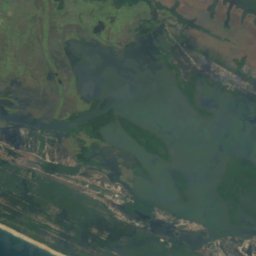
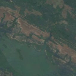
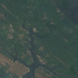
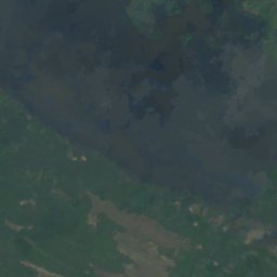

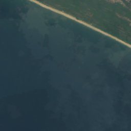
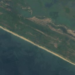
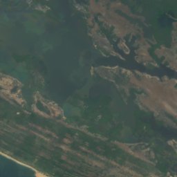
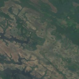
ดาวเทียม: Sentinel-2 cloudless 2016 โดย EOX IT Services GmbH · CC BY 4.0 · มีข้อมูล Copernicus Sentinel (2016) ที่ดัดแปลงแล้ว
Lake Mape
Pujehun, Southern Province
20 m
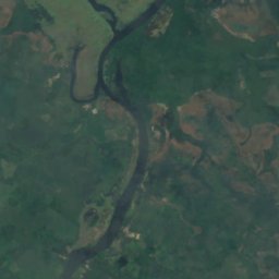
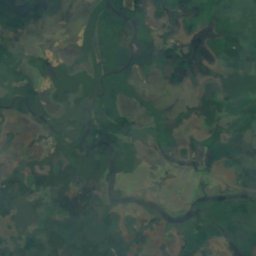
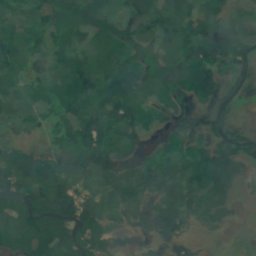
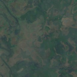
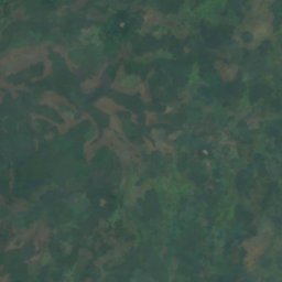
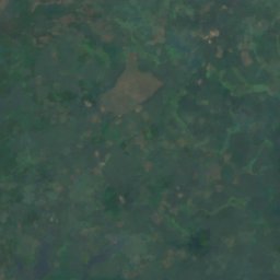
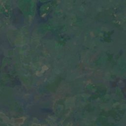
ดาวเทียม: Sentinel-2 cloudless 2016 โดย EOX IT Services GmbH · CC BY 4.0 · มีข้อมูล Copernicus Sentinel (2016) ที่ดัดแปลงแล้ว
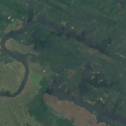
Lake Mabesi
Pujehun, Southern Province
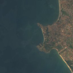
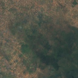
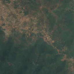
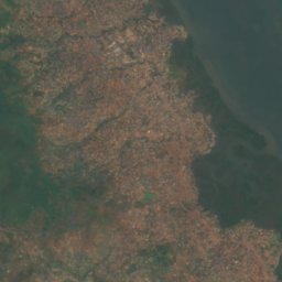
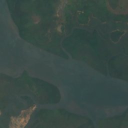
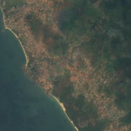

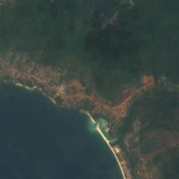
ดาวเทียม: Sentinel-2 cloudless 2016 โดย EOX IT Services GmbH · CC BY 4.0 · มีข้อมูล Copernicus Sentinel (2016) ที่ดัดแปลงแล้ว
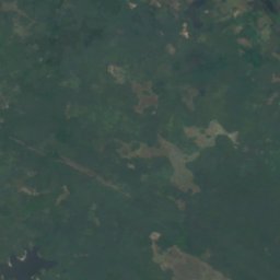
Guma Reservoir
Hastings, Western Area
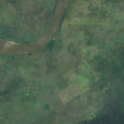
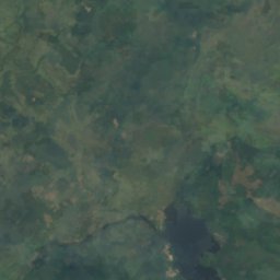
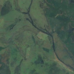
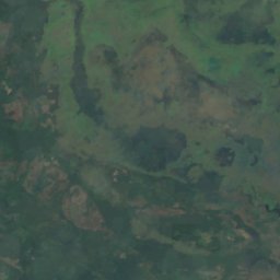
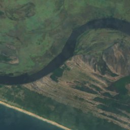
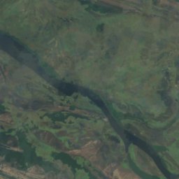
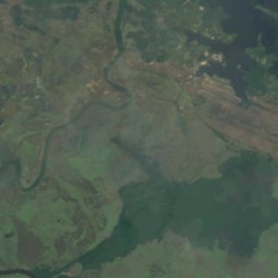
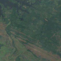
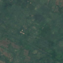
ดาวเทียม: Sentinel-2 cloudless 2016 โดย EOX IT Services GmbH · CC BY 4.0 · มีข้อมูล Copernicus Sentinel (2016) ที่ดัดแปลงแล้ว
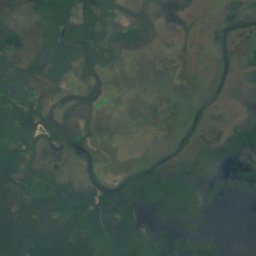
Lake Baiama
Pujehun, Southern Province
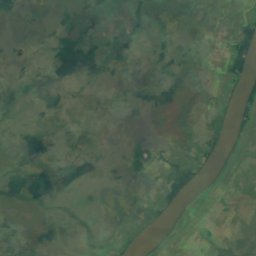
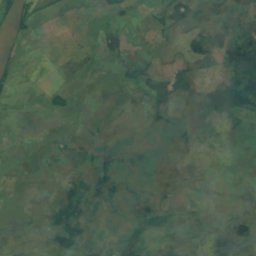
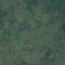
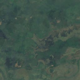
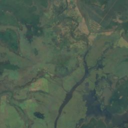
ดาวเทียม: Sentinel-2 cloudless 2016 โดย EOX IT Services GmbH · CC BY 4.0 · มีข้อมูล Copernicus Sentinel (2016) ที่ดัดแปลงแล้ว
Lake Kamason
Pujehun, Southern Province
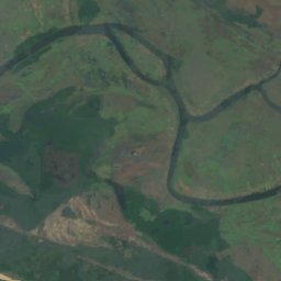
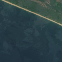
ดาวเทียม: Sentinel-2 cloudless 2016 โดย EOX IT Services GmbH · CC BY 4.0 · มีข้อมูล Copernicus Sentinel (2016) ที่ดัดแปลงแล้ว
Lake Masatoi
Pujehun, Southern Province
น้ำตก
น้ำตกในเซียร์ราลีโอน
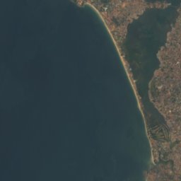
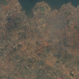
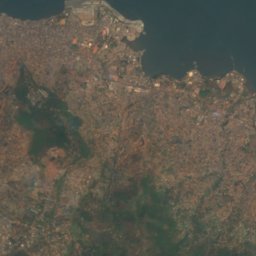
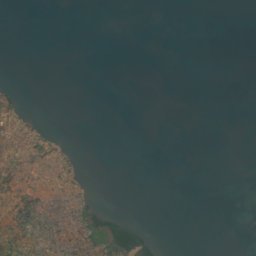
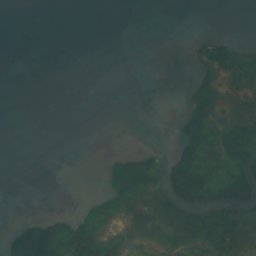
ดาวเทียม: Sentinel-2 cloudless 2016 โดย EOX IT Services GmbH · CC BY 4.0 · มีข้อมูล Copernicus Sentinel (2016) ที่ดัดแปลงแล้ว
Bathurst Falls
Freetown, Western Area
391 m
เกาะ
เกาะในเซียร์ราลีโอน

ภาพ: Joseph Corry · Public domain · Wikimedia Commonsแจ้งเกี่ยวกับภาพนี้ · ลิงก์ไปยังต้นทาง ไม่จัดเก็บ
Bunce Island
Cotton Tree, Northern Province
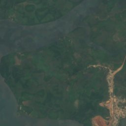
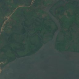
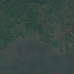
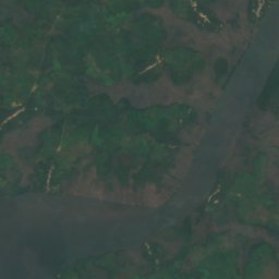
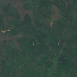
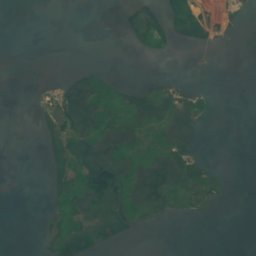
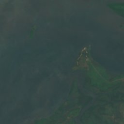
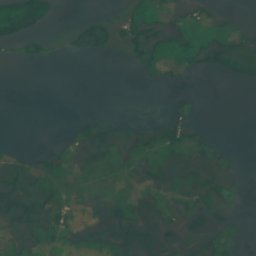
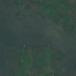
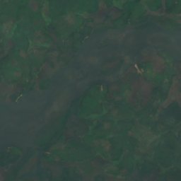
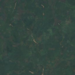
ดาวเทียม: Sentinel-2 cloudless 2016 โดย EOX IT Services GmbH · CC BY 4.0 · มีข้อมูล Copernicus Sentinel (2016) ที่ดัดแปลงแล้ว
Kagbeli Island
Cotton Tree, Northern Province
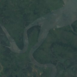
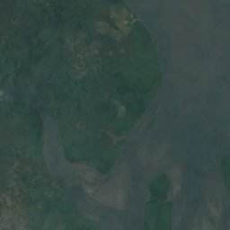
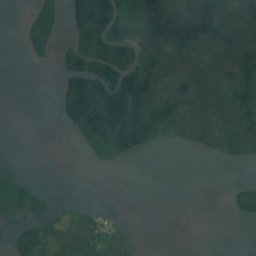
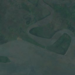
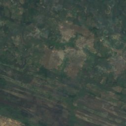
ดาวเทียม: Sentinel-2 cloudless 2016 โดย EOX IT Services GmbH · CC BY 4.0 · มีข้อมูล Copernicus Sentinel (2016) ที่ดัดแปลงแล้ว
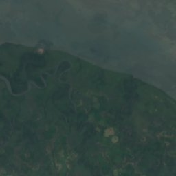
York Island
Bonthe, Southern Province




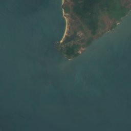


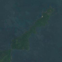




ดาวเทียม: Sentinel-2 cloudless 2016 โดย EOX IT Services GmbH · CC BY 4.0 · มีข้อมูล Copernicus Sentinel (2016) ที่ดัดแปลงแล้ว
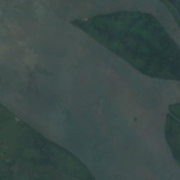
Dublin, Banana Islands
Waterloo, Western Area
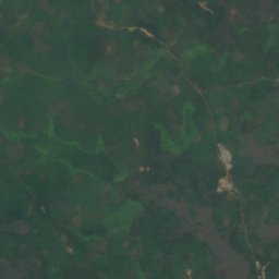
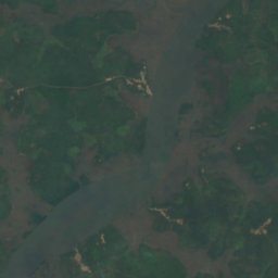
ดาวเทียม: Sentinel-2 cloudless 2016 โดย EOX IT Services GmbH · CC BY 4.0 · มีข้อมูล Copernicus Sentinel (2016) ที่ดัดแปลงแล้ว
Timbo Island
Cotton Tree, Northern Province
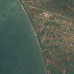
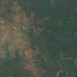
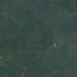
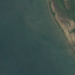
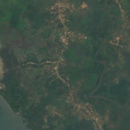
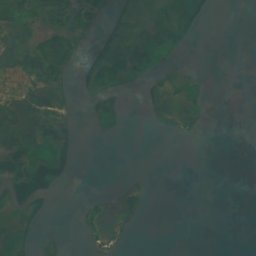

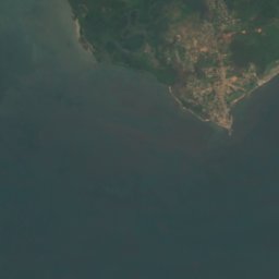
ดาวเทียม: Sentinel-2 cloudless 2016 โดย EOX IT Services GmbH · CC BY 4.0 · มีข้อมูล Copernicus Sentinel (2016) ที่ดัดแปลงแล้ว
Tasso Island
Cotton Tree, Northern Province
ดาวเทียม: Sentinel-2 cloudless 2016 โดย EOX IT Services GmbH · CC BY 4.0 · มีข้อมูล Copernicus Sentinel (2016) ที่ดัดแปลงแล้ว
Allridge Island
Bonthe, Southern Province
6 m
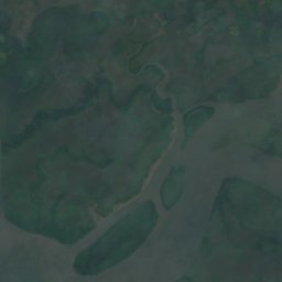
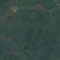
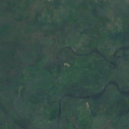
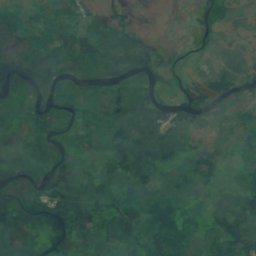
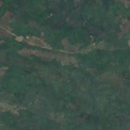
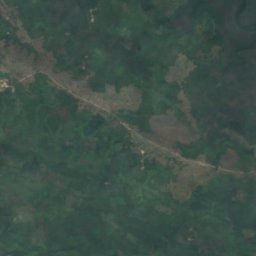
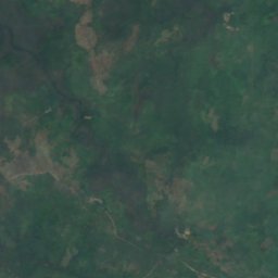
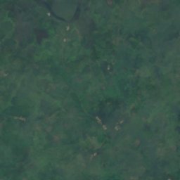
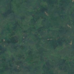
ดาวเทียม: Sentinel-2 cloudless 2016 โดย EOX IT Services GmbH · CC BY 4.0 · มีข้อมูล Copernicus Sentinel (2016) ที่ดัดแปลงแล้ว
Bainde Island
Bonthe, Southern Province
4 m
รายการทั้งหมด: เกาะ 26 แห่ง
- Allridge Island
- Bainde Island
- Bankapia Island
- Barrettes Island
- Batibi Island
- Bendu Flat
- Birds Island
- Bobs Island
- Bom Island
- Bunce Island
- Dublin, Banana Islands
- Kagbeli Island
- Mayagba Island
- Sherbro Island
- Tasso Island
- Timbo Island
- Wointi Island
- Yamama Island
- Yelbi Island
- Yelibana Island
- Yeligank Island
- Yelimakant Island
- Yeliwor Island
- Yelkabulo Island
- Yema Island
- York Island
แม่น้ำ
แม่น้ำในเซียร์ราลีโอน



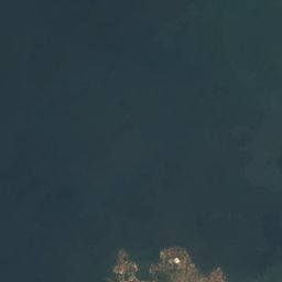
ดาวเทียม: Sentinel-2 cloudless 2016 โดย EOX IT Services GmbH · CC BY 4.0 · มีข้อมูล Copernicus Sentinel (2016) ที่ดัดแปลงแล้ว
Sierra Leone River
Cotton Tree, Northern Province
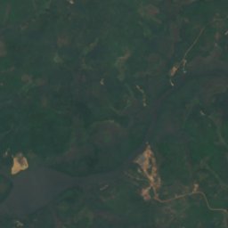
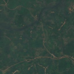
ดาวเทียม: Sentinel-2 cloudless 2016 โดย EOX IT Services GmbH · CC BY 4.0 · มีข้อมูล Copernicus Sentinel (2016) ที่ดัดแปลงแล้ว
Bankasoka River
Port Loko, North West
6 m


ดาวเทียม: Sentinel-2 cloudless 2016 โดย EOX IT Services GmbH · CC BY 4.0 · มีข้อมูล Copernicus Sentinel (2016) ที่ดัดแปลงแล้ว
Jong River
Bonthe, Southern Province