Nature
Waters, ice and wild places of Paraguay
Lakes, waterfalls, glaciers, national parks and mountain huts, each with its location, its size and the weather of the towns around it.
Lakes7with a page
Waterfalls1with a page
National parks6with a page
Beaches3with a page

Lakes
Lakes of Paraguay



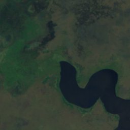
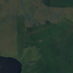
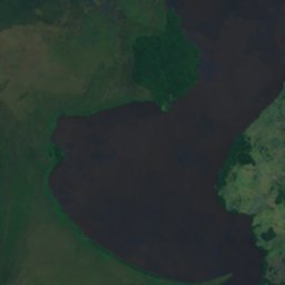
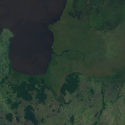
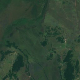
Satellite: Sentinel-2 cloudless 2016 by EOX IT Services GmbH · CC BY 4.0 · Contains modified Copernicus Sentinel data 2016
Lago Ypoa
Quiíndy, Paraguarí
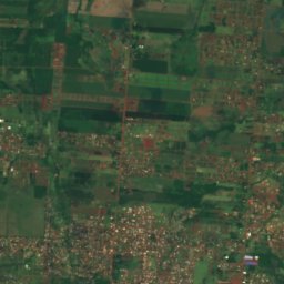
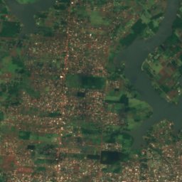
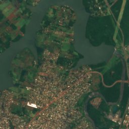
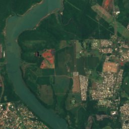
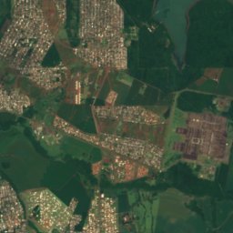
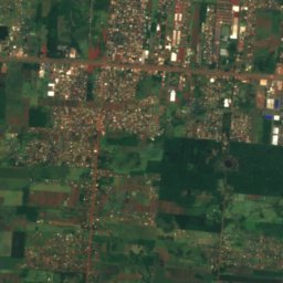
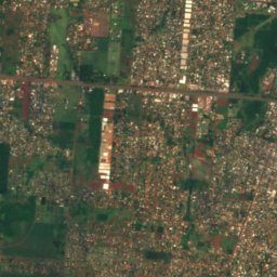
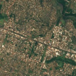
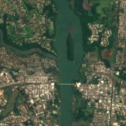
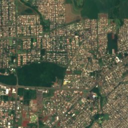
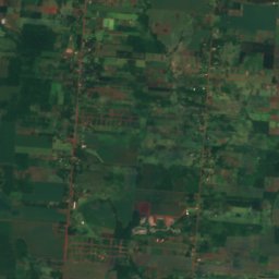
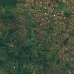
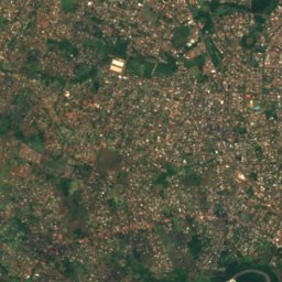
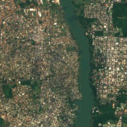
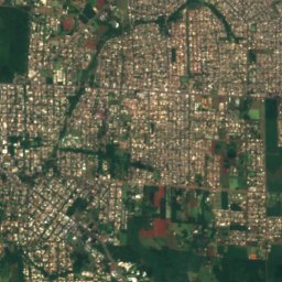
Satellite: Sentinel-2 cloudless 2016 by EOX IT Services GmbH · CC BY 4.0 · Contains modified Copernicus Sentinel data 2016
Lago de la República
Ciudad del Este, Alto Paraná Department
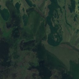
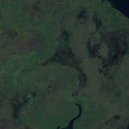
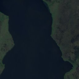
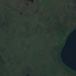
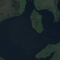
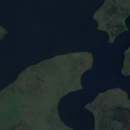

Satellite: Sentinel-2 cloudless 2016 by EOX IT Services GmbH · CC BY 4.0 · Contains modified Copernicus Sentinel data 2016
Laguna Verá
Quiíndy, Paraguarí
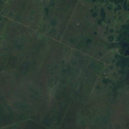
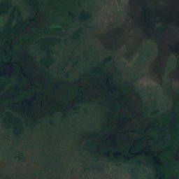
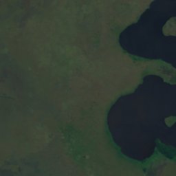
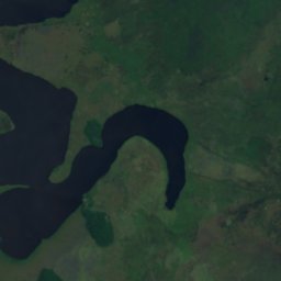
Satellite: Sentinel-2 cloudless 2016 by EOX IT Services GmbH · CC BY 4.0 · Contains modified Copernicus Sentinel data 2016
Laguna Cabral
Quiíndy, Paraguarí
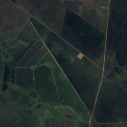
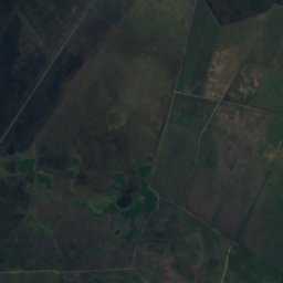
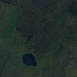
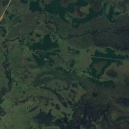
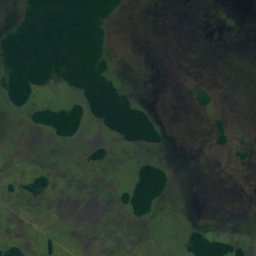
Satellite: Sentinel-2 cloudless 2016 by EOX IT Services GmbH · CC BY 4.0 · Contains modified Copernicus Sentinel data 2016
Laguna Guazú
Ayolas, Misiones Department
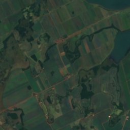
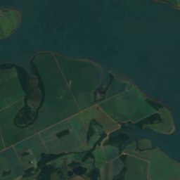
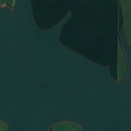
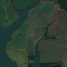
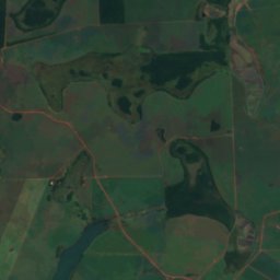
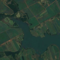
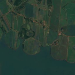
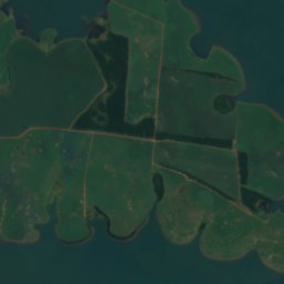
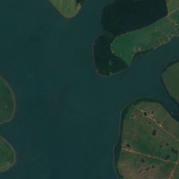
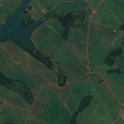
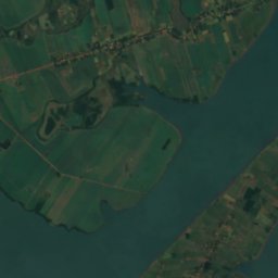
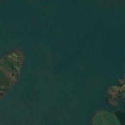
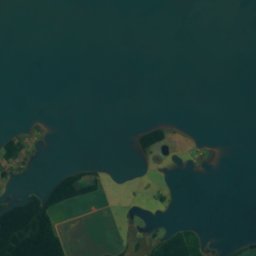
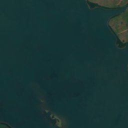
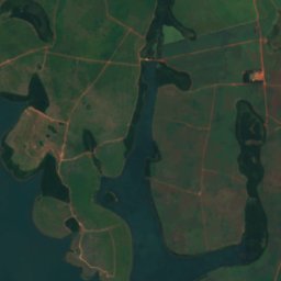
Satellite: Sentinel-2 cloudless 2016 by EOX IT Services GmbH · CC BY 4.0 · Contains modified Copernicus Sentinel data 2016
Yguazú Lake
Doctor Juan León Mallorquín, Alto Paraná Department
Waterfalls
Waterfalls of Paraguay

National parks
National parks of Paraguay
Satellite: Sentinel-2 cloudless 2016 by EOX IT Services GmbH · CC BY 4.0 · Contains modified Copernicus Sentinel data 2016
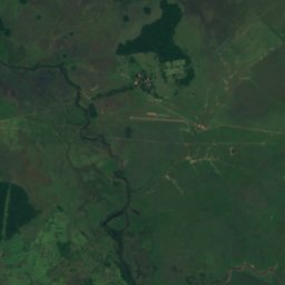
Ypoá National Park
Quiíndy, Paraguarí
1,000 km²
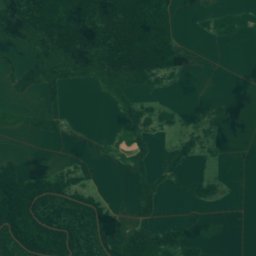
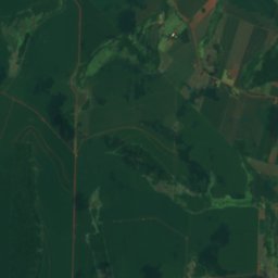
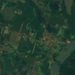
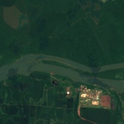
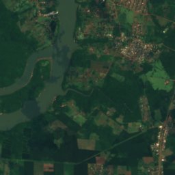
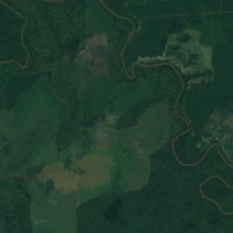
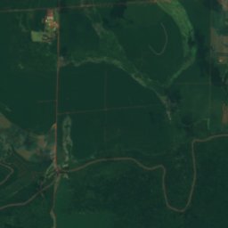
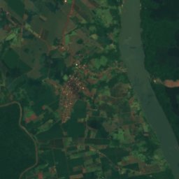
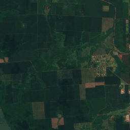
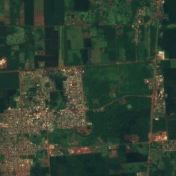
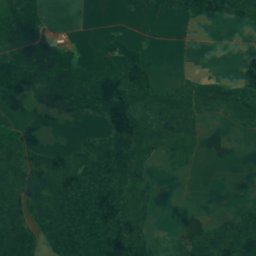
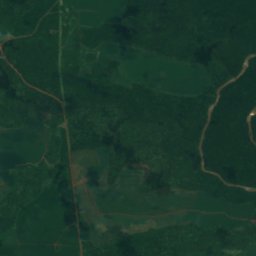
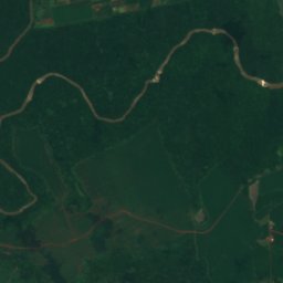
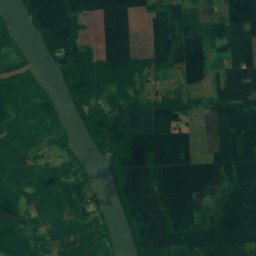
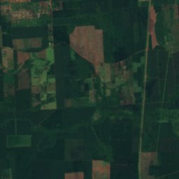
Satellite: Sentinel-2 cloudless 2016 by EOX IT Services GmbH · CC BY 4.0 · Contains modified Copernicus Sentinel data 2016
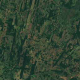
Nacunday National Park
Ñacunday, Alto Paraná Department
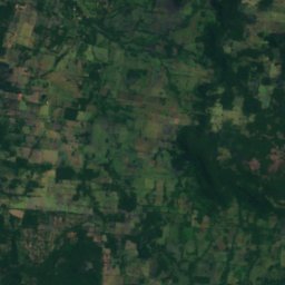
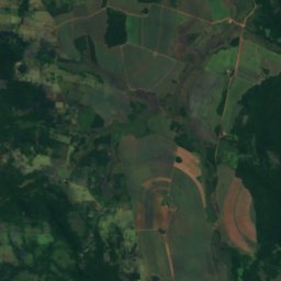
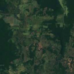
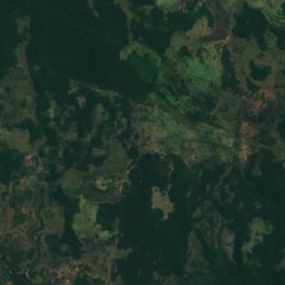
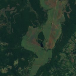
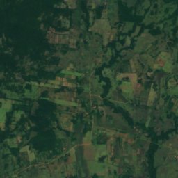
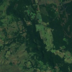
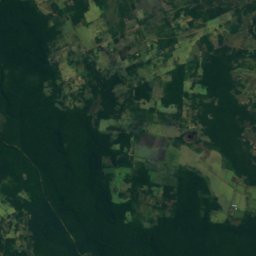
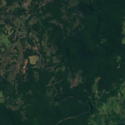
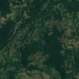
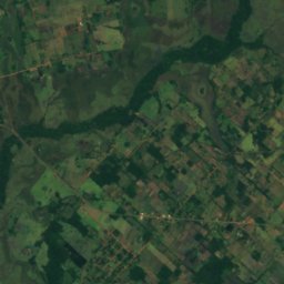
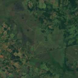
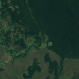
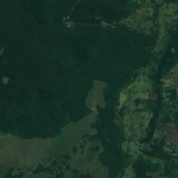
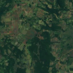
Satellite: Sentinel-2 cloudless 2016 by EOX IT Services GmbH · CC BY 4.0 · Contains modified Copernicus Sentinel data 2016
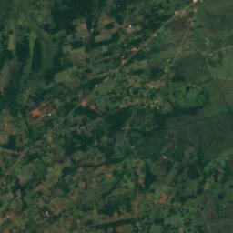
Ybycuí National Park
Mbuyapey, Paraguarí
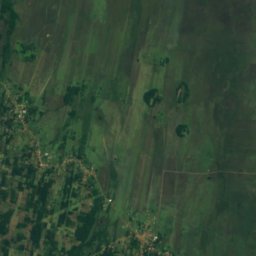
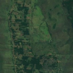
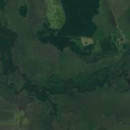
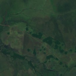
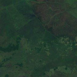
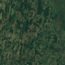
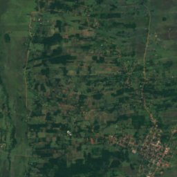
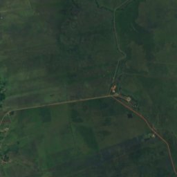
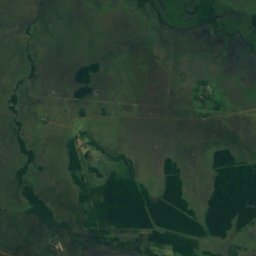
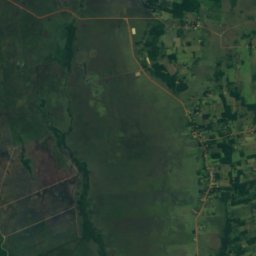
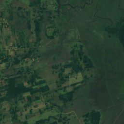
Satellite: Sentinel-2 cloudless 2016 by EOX IT Services GmbH · CC BY 4.0 · Contains modified Copernicus Sentinel data 2016
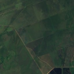
Vapor Cué National Park
Caraguatay, Cordillera Department
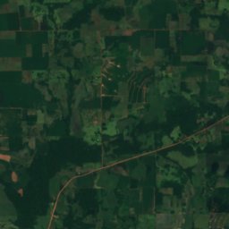
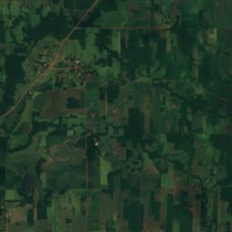
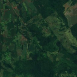
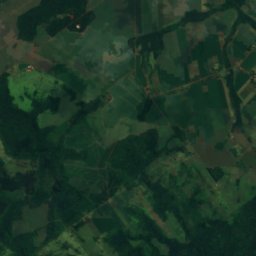
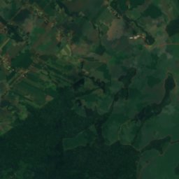
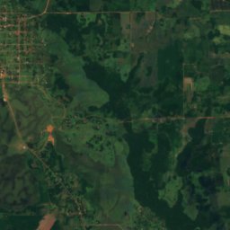
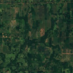
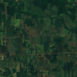
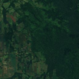
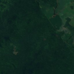
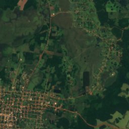
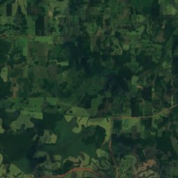
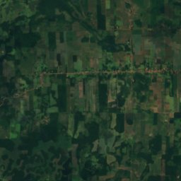
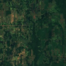
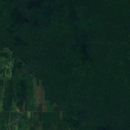
Satellite: Sentinel-2 cloudless 2016 by EOX IT Services GmbH · CC BY 4.0 · Contains modified Copernicus Sentinel data 2016
Caazapá National Park
General Higinio Morínigo, Caazapá
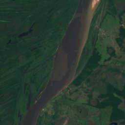
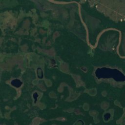
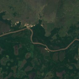
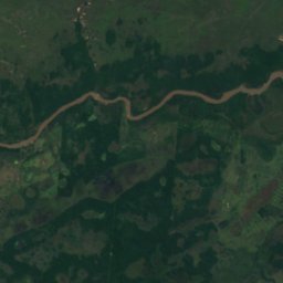
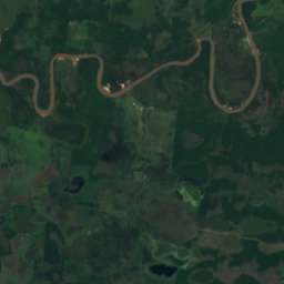
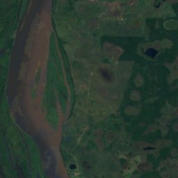
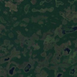
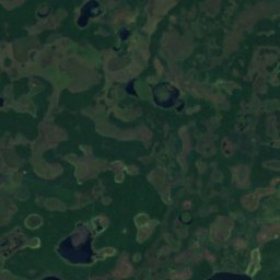
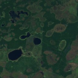
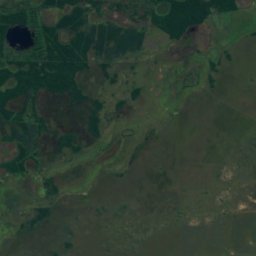
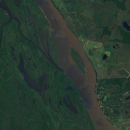
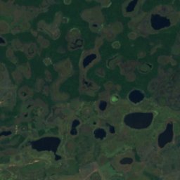
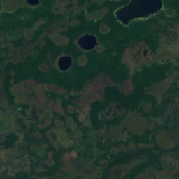
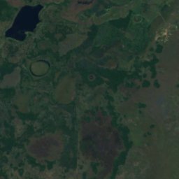
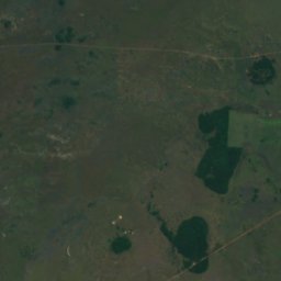
Satellite: Sentinel-2 cloudless 2016 by EOX IT Services GmbH · CC BY 4.0 · Contains modified Copernicus Sentinel data 2016
Estero Milagro National Park
Concepción, Concepción
0 km²
Beaches
Beaches of Paraguay


Islands
Islands of Paraguay

Photo: User Pertile in es.wikipedia · CC BY 3.0 · Wikimedia CommonsReport this photo · linked, not stored
Isla del Cerrito
Paso de Patria, Ñeembucú Department
52 m

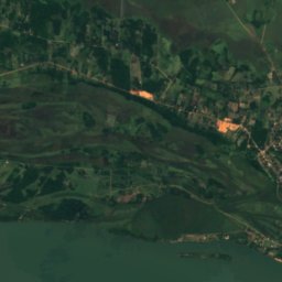
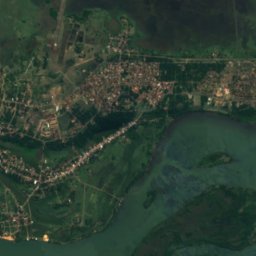
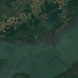
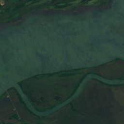
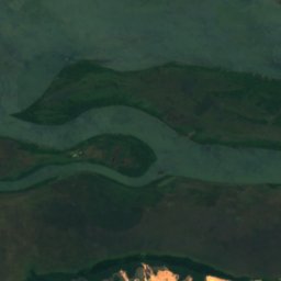
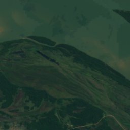
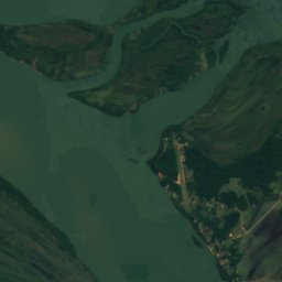
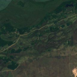
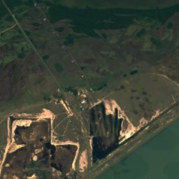
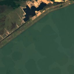
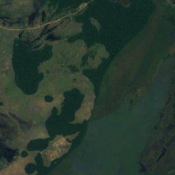
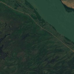
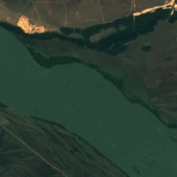
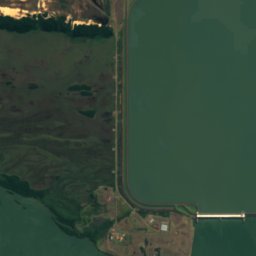
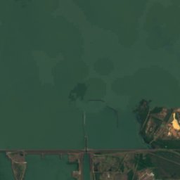
Satellite: Sentinel-2 cloudless 2016 by EOX IT Services GmbH · CC BY 4.0 · Contains modified Copernicus Sentinel data 2016
Yacyretá Island
Ayolas, Misiones Department
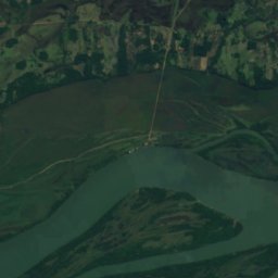
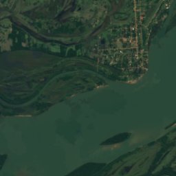
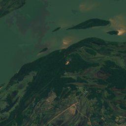
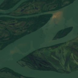
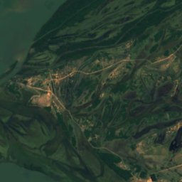
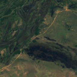
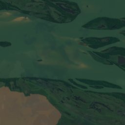
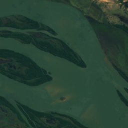
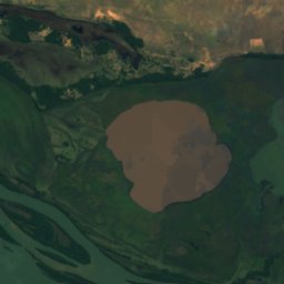
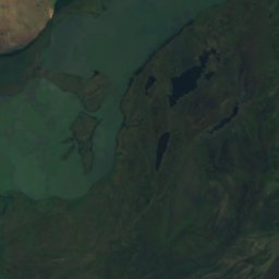
Satellite: Sentinel-2 cloudless 2016 by EOX IT Services GmbH · CC BY 4.0 · Contains modified Copernicus Sentinel data 2016
Isla Apipé
Ayolas, Misiones Department
63 m
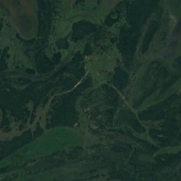
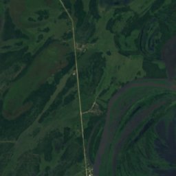
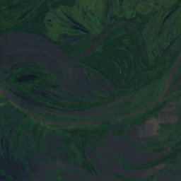
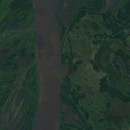
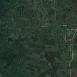
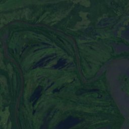
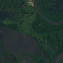
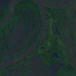
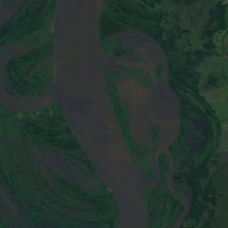
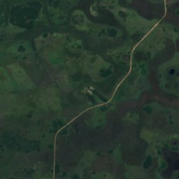
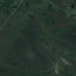
Satellite: Sentinel-2 cloudless 2016 by EOX IT Services GmbH · CC BY 4.0 · Contains modified Copernicus Sentinel data 2016
Isla Payaguá
Pilar, Ñeembucú Department
56 m
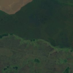
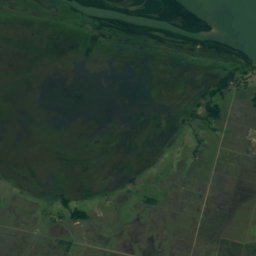
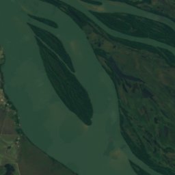
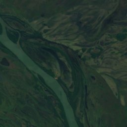
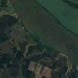
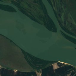
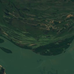
Satellite: Sentinel-2 cloudless 2016 by EOX IT Services GmbH · CC BY 4.0 · Contains modified Copernicus Sentinel data 2016
Isla Los Patos
Ayolas, Misiones Department
59 m
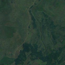
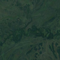
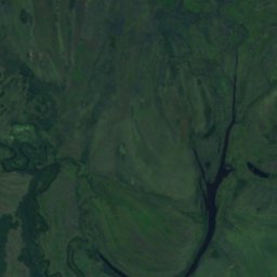
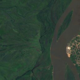
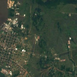
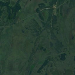
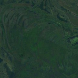
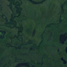
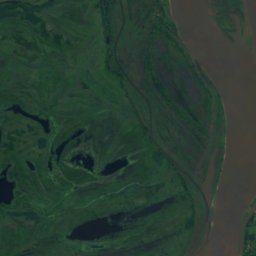
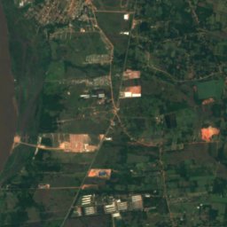
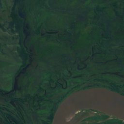
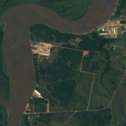
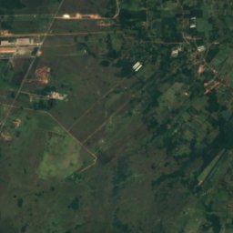
Satellite: Sentinel-2 cloudless 2016 by EOX IT Services GmbH · CC BY 4.0 · Contains modified Copernicus Sentinel data 2016
Isla Itá-Pirú
Nueva Italia, Central Department
58 m
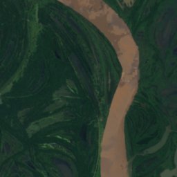
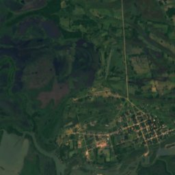
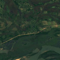
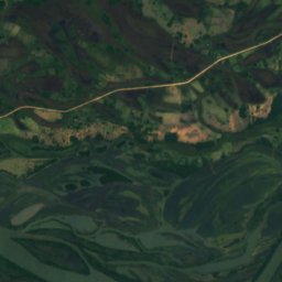
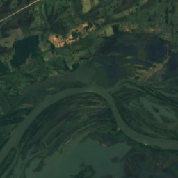
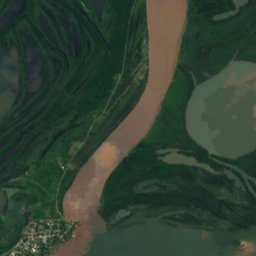
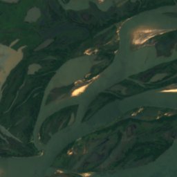
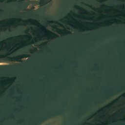
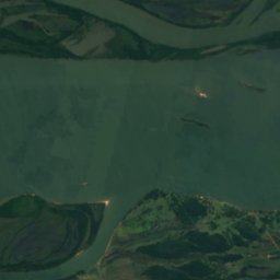
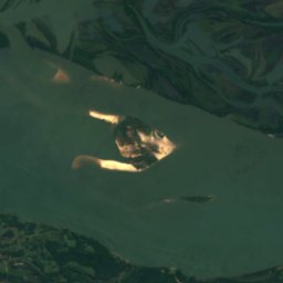
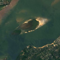
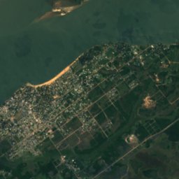
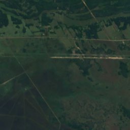
Satellite: Sentinel-2 cloudless 2016 by EOX IT Services GmbH · CC BY 4.0 · Contains modified Copernicus Sentinel data 2016
Isla Toledo
Paso de Patria, Ñeembucú Department
53 m
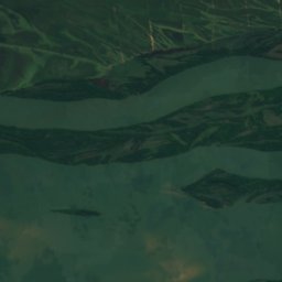
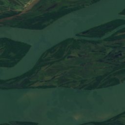
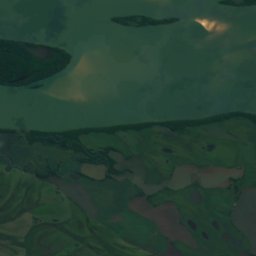
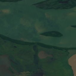
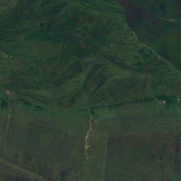
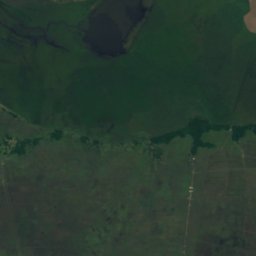
Satellite: Sentinel-2 cloudless 2016 by EOX IT Services GmbH · CC BY 4.0 · Contains modified Copernicus Sentinel data 2016
Isla Sirena
Ayolas, Misiones Department
61 m
Rivers
Rivers of Paraguay


Photo: Jarbas yurasseck, jr · CC BY-SA 3.0 · Wikimedia CommonsReport this photo · linked, not stored
Piquiri River
Salto del Guairá, Canindeyú
222 m


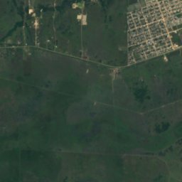
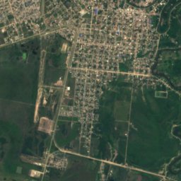
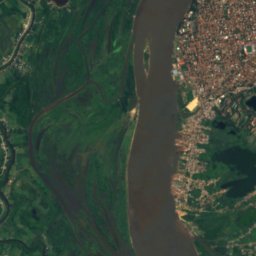
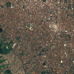
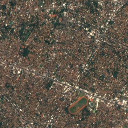
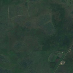
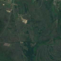
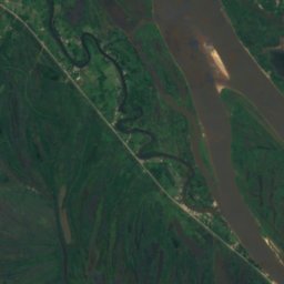
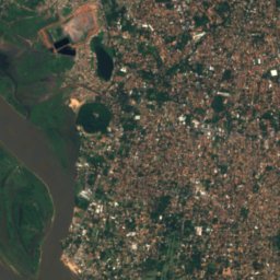
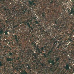
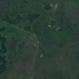
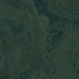
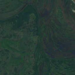
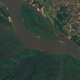
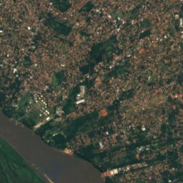
Satellite: Sentinel-2 cloudless 2016 by EOX IT Services GmbH · CC BY 4.0 · Contains modified Copernicus Sentinel data 2016
Pilcomayo River
Lambaré, Central Department
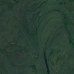
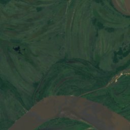
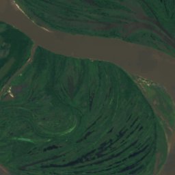
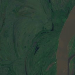
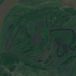
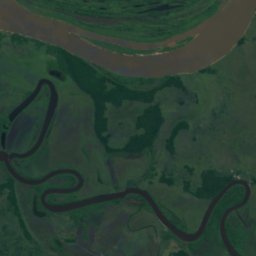
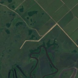
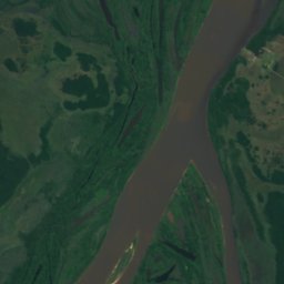
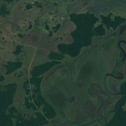
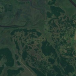
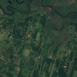
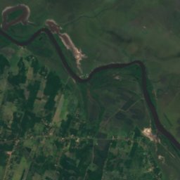
Satellite: Sentinel-2 cloudless 2016 by EOX IT Services GmbH · CC BY 4.0 · Contains modified Copernicus Sentinel data 2016
Manduvirá River
Emboscada, Cordillera Department
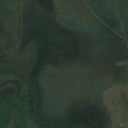
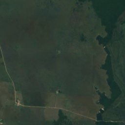
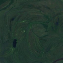
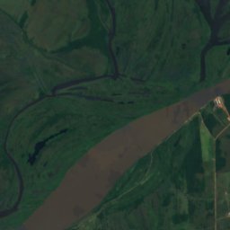
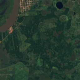
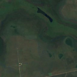
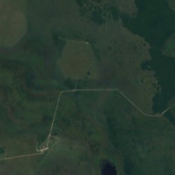
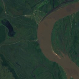
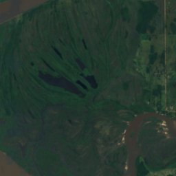
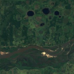
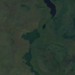
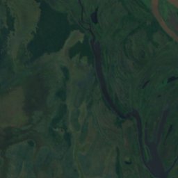
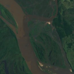
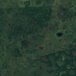
Satellite: Sentinel-2 cloudless 2016 by EOX IT Services GmbH · CC BY 4.0 · Contains modified Copernicus Sentinel data 2016
Jejuí Guazú River
San Pedro de Ycuamandiyú, San Pedro Department
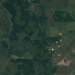
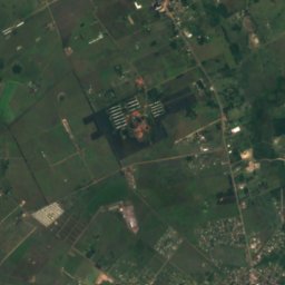
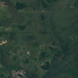
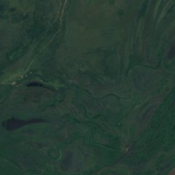
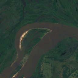
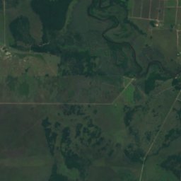
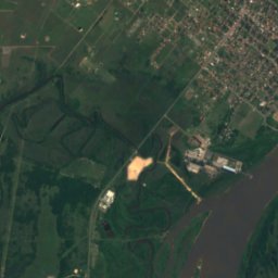
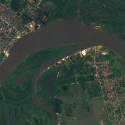
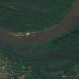
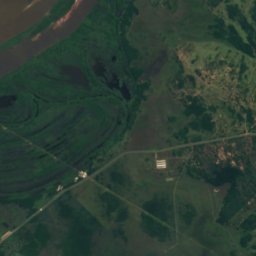
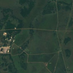
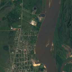
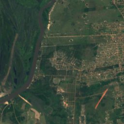
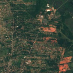
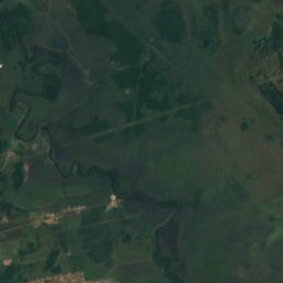


Satellite: Sentinel-2 cloudless 2016 by EOX IT Services GmbH · CC BY 4.0 · Contains modified Copernicus Sentinel data 2016
Salado River
Emboscada, Cordillera Department