Przyroda
Woda, lód i dzika przyroda Paragwaju
Jeziora, wodospady, lodowce, parki narodowe i schroniska górskie – każde z położeniem, wielkością i pogodą w pobliskich miejscowościach.
Jeziora7z własną stroną
Wodospady1z własną stroną
Parki narodowe6z własną stroną
Plaże3z własną stroną

Zdjęcie: Level4 · CC BY-SA 3.0 · Wikimedia CommonsZgłoś to zdjęcie · wyświetlane przez odnośnik, nie kopiowane
Jeziora
Jeziora Paragwaju

Zdjęcie: Level4 · CC BY-SA 3.0 · Wikimedia CommonsZgłoś to zdjęcie · wyświetlane przez odnośnik, nie kopiowane
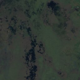
Lago Ypacaraí
Areguá, Departament Centralny
56 km²
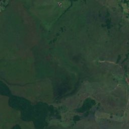
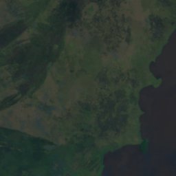
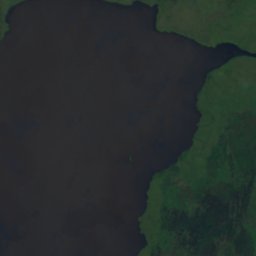
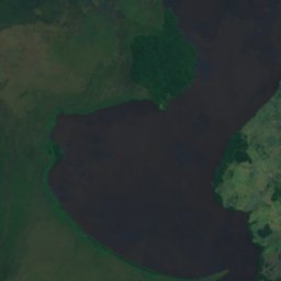
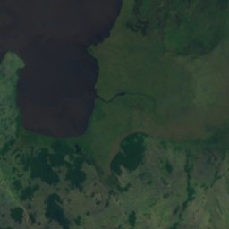
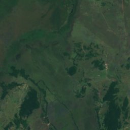
Satelita: Sentinel-2 cloudless 2016 – EOX IT Services GmbH · CC BY 4.0 · Zawiera zmodyfikowane dane Copernicus Sentinel (2016)
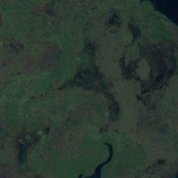
Ypoá
Quiíndy, Departament Paraguarí
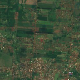
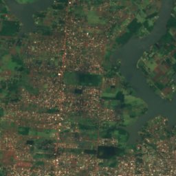
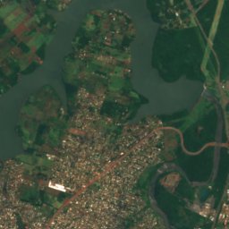
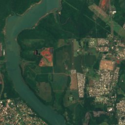
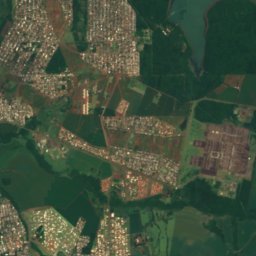
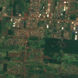
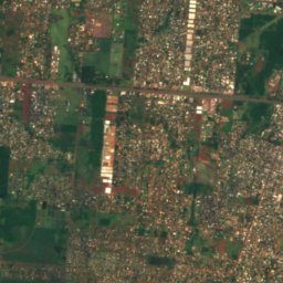
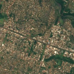
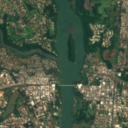
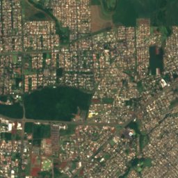
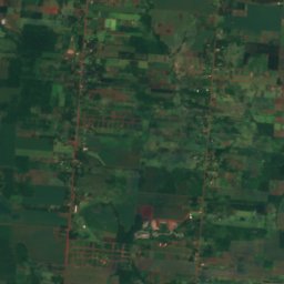
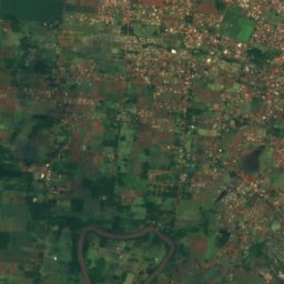
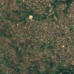
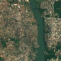
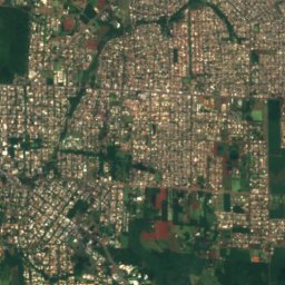
Satelita: Sentinel-2 cloudless 2016 – EOX IT Services GmbH · CC BY 4.0 · Zawiera zmodyfikowane dane Copernicus Sentinel (2016)
Lago de la República
Ciudad del Este, Górna Parana
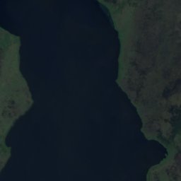
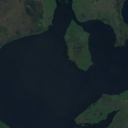
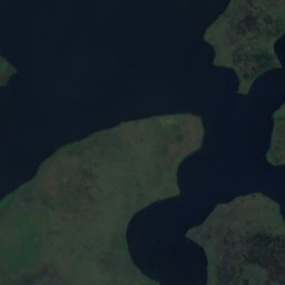
Satelita: Sentinel-2 cloudless 2016 – EOX IT Services GmbH · CC BY 4.0 · Zawiera zmodyfikowane dane Copernicus Sentinel (2016)
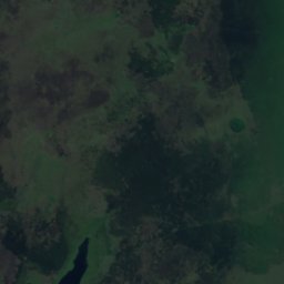
Lago Verá
Quiíndy, Departament Paraguarí
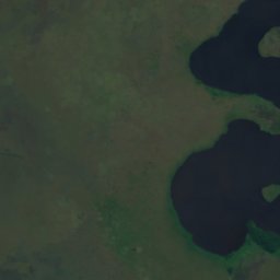
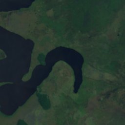
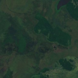
Satelita: Sentinel-2 cloudless 2016 – EOX IT Services GmbH · CC BY 4.0 · Zawiera zmodyfikowane dane Copernicus Sentinel (2016)
Laguna Cabral
Quiíndy, Departament Paraguarí
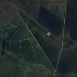
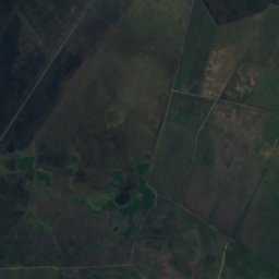
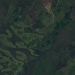
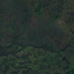
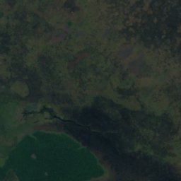
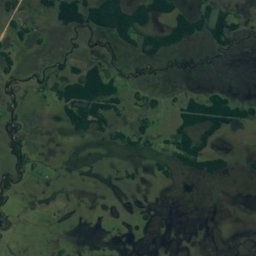
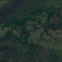
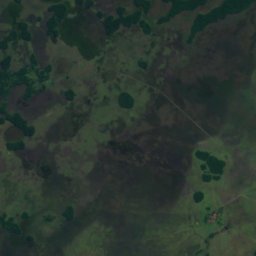
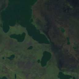
Satelita: Sentinel-2 cloudless 2016 – EOX IT Services GmbH · CC BY 4.0 · Zawiera zmodyfikowane dane Copernicus Sentinel (2016)
Laguna Guazú
Ayolas, Misiones
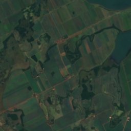
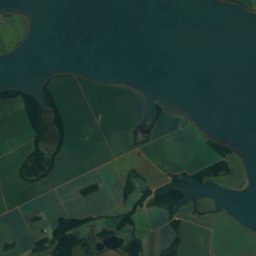
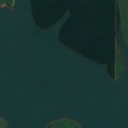
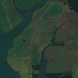
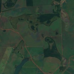
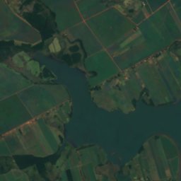
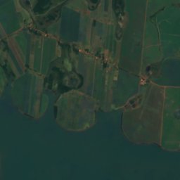
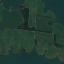
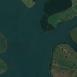
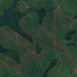
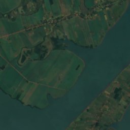
Satelita: Sentinel-2 cloudless 2016 – EOX IT Services GmbH · CC BY 4.0 · Zawiera zmodyfikowane dane Copernicus Sentinel (2016)
Lago del Rio Yguazú
Doctor Juan León Mallorquín, Górna Parana
Wodospady
Wodospady Paragwaju

Zdjęcie: FF MM · CC BY-SA 3.0 · Wikimedia CommonsZgłoś to zdjęcie · wyświetlane przez odnośnik, nie kopiowane
Cataratas del Monday
Presidente Franco, Górna Parana
Parki narodowe
Parki narodowe Paragwaju
Satelita: Sentinel-2 cloudless 2016 – EOX IT Services GmbH · CC BY 4.0 · Zawiera zmodyfikowane dane Copernicus Sentinel (2016)
Park Narodowy Ypoá
Quiíndy, Departament Paraguarí
1000 km²
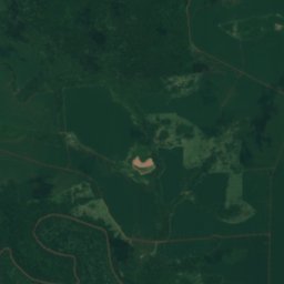
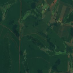
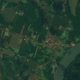
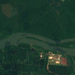
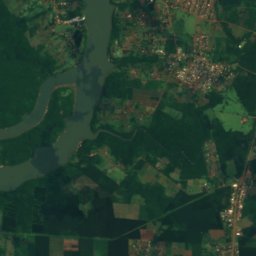
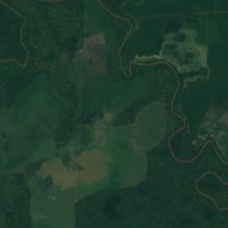
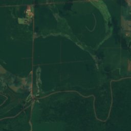
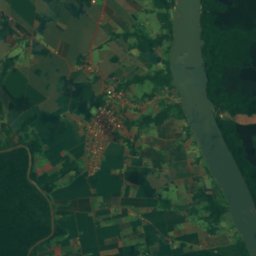
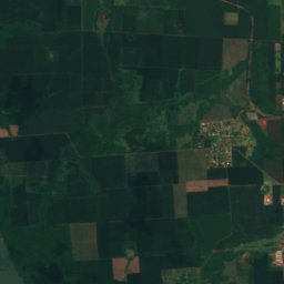
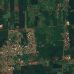
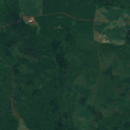
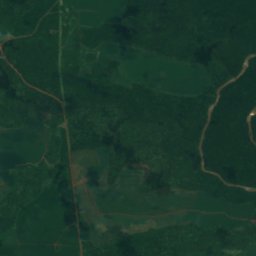
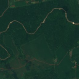
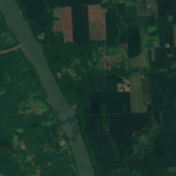
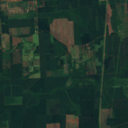
Satelita: Sentinel-2 cloudless 2016 – EOX IT Services GmbH · CC BY 4.0 · Zawiera zmodyfikowane dane Copernicus Sentinel (2016)
Parque nacional Ñacunday
Ñacunday, Górna Parana
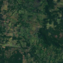
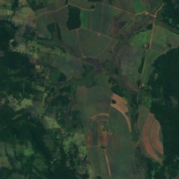
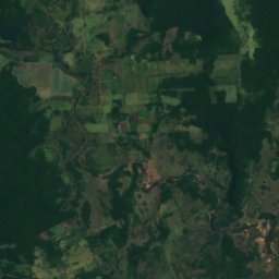
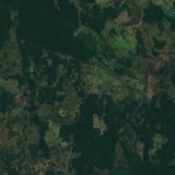
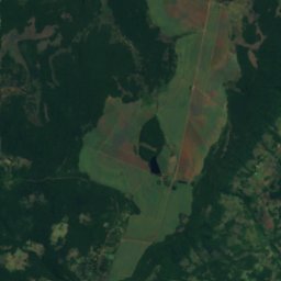
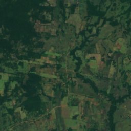
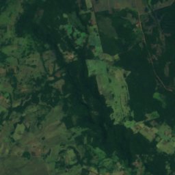
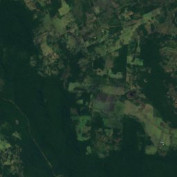
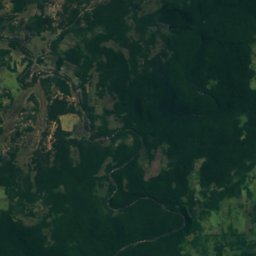
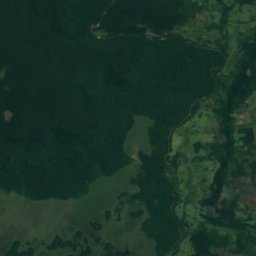
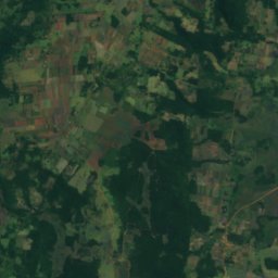
Satelita: Sentinel-2 cloudless 2016 – EOX IT Services GmbH · CC BY 4.0 · Zawiera zmodyfikowane dane Copernicus Sentinel (2016)
Parque nacional Ybycuí
Mbuyapey, Departament Paraguarí
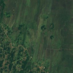
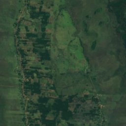
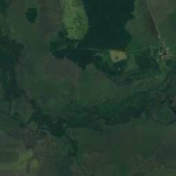
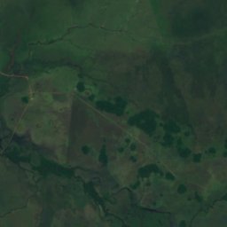
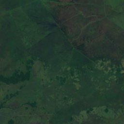
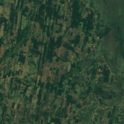
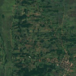
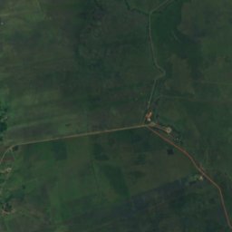
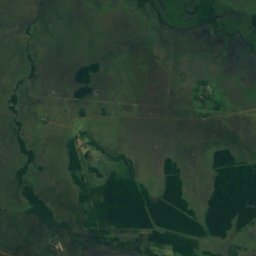
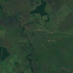
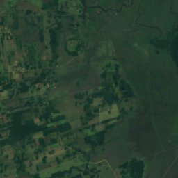
Satelita: Sentinel-2 cloudless 2016 – EOX IT Services GmbH · CC BY 4.0 · Zawiera zmodyfikowane dane Copernicus Sentinel (2016)
Parque nacional Vapor Cué
Caraguatay, Cordillera
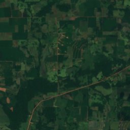
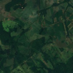
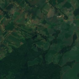
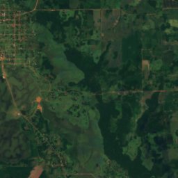
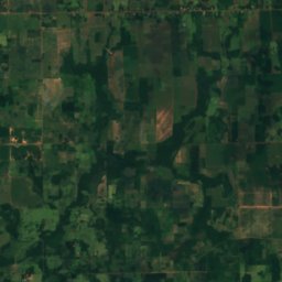
Satelita: Sentinel-2 cloudless 2016 – EOX IT Services GmbH · CC BY 4.0 · Zawiera zmodyfikowane dane Copernicus Sentinel (2016)
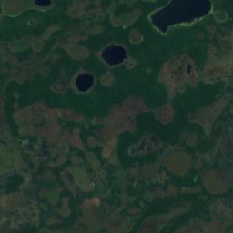
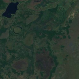
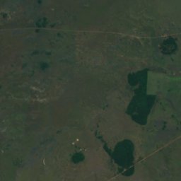
Parque nacional Caazapá
General Higinio Morínigo, Departament Caazapá
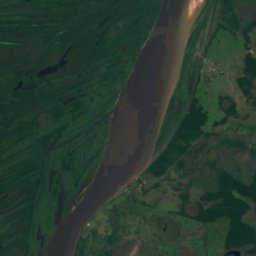
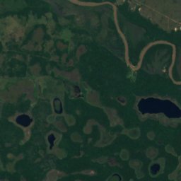
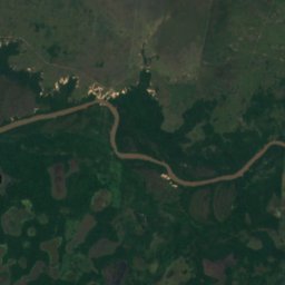
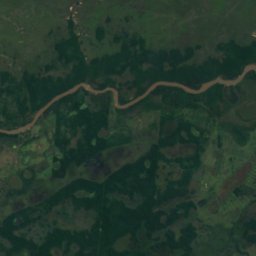
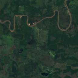
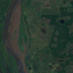
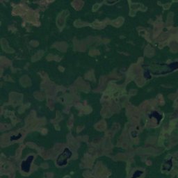
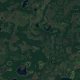
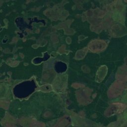
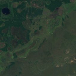
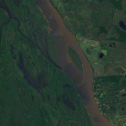
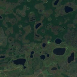
Satelita: Sentinel-2 cloudless 2016 – EOX IT Services GmbH · CC BY 4.0 · Zawiera zmodyfikowane dane Copernicus Sentinel (2016)
Parque nacional Estero Milagro
Concepción, Departament Concepción
0 km²
Plaże
Plaże Paragwaju

Zdjęcie: Cmasi · CC BY-SA 4.0 · Wikimedia CommonsZgłoś to zdjęcie · wyświetlane przez odnośnik, nie kopiowane
Playa Mbói Ka'é
Encarnación, Itapúa

Zdjęcie: Cmasi · CC BY-SA 4.0 · Wikimedia CommonsZgłoś to zdjęcie · wyświetlane przez odnośnik, nie kopiowane
Playa San Isidro
Encarnación, Itapúa

Zdjęcie: Cmasi · CC BY-SA 4.0 · Wikimedia CommonsZgłoś to zdjęcie · wyświetlane przez odnośnik, nie kopiowane
Playa San José
Encarnación, Itapúa
Wyspy
Wyspy Paragwaju

Zdjęcie: User Pertile in es.wikipedia · CC BY 3.0 · Wikimedia CommonsZgłoś to zdjęcie · wyświetlane przez odnośnik, nie kopiowane
Isla del Cerrito
Paso de Patria, Ñeembucú
52 m

Zdjęcie: Jcornelius · CC BY-SA 4.0 · Wikimedia CommonsZgłoś to zdjęcie · wyświetlane przez odnośnik, nie kopiowane
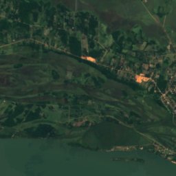
Isla Acaray
Ciudad del Este, Górna Parana
119 m
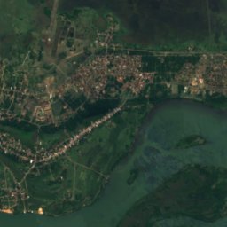
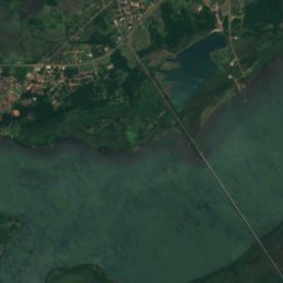
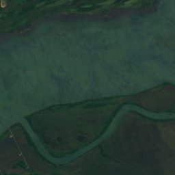
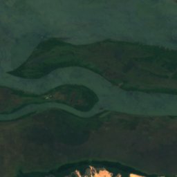
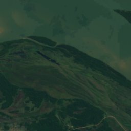
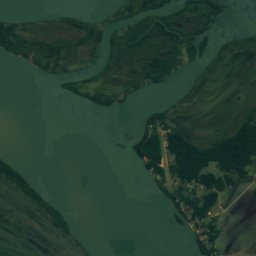
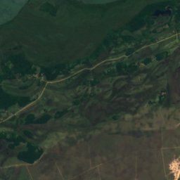
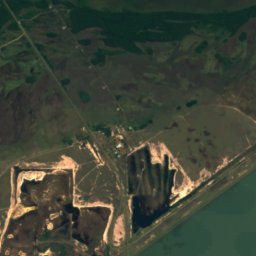
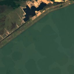
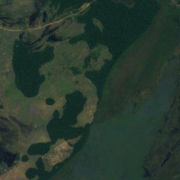
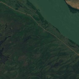
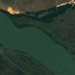
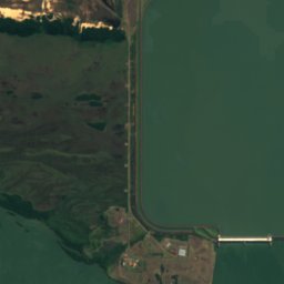
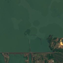
Satelita: Sentinel-2 cloudless 2016 – EOX IT Services GmbH · CC BY 4.0 · Zawiera zmodyfikowane dane Copernicus Sentinel (2016)
Isla Yacyretá
Ayolas, Misiones
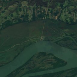
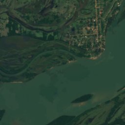
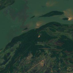
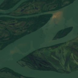
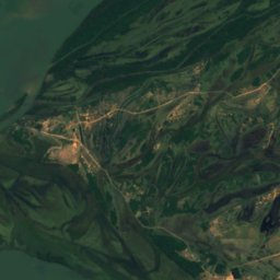
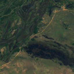
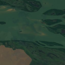
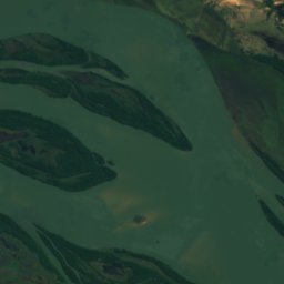
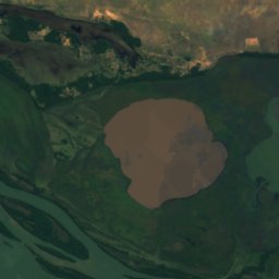
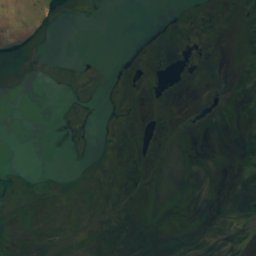
Satelita: Sentinel-2 cloudless 2016 – EOX IT Services GmbH · CC BY 4.0 · Zawiera zmodyfikowane dane Copernicus Sentinel (2016)
Apipé
Ayolas, Misiones
63 m
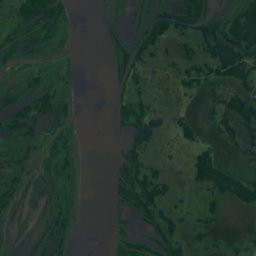
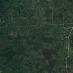
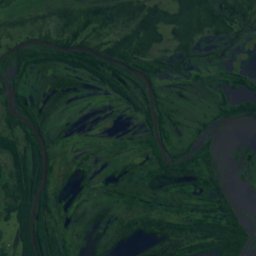
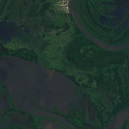
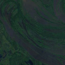
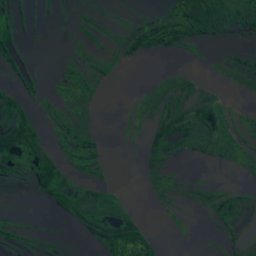
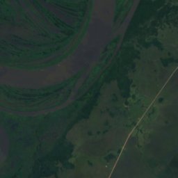
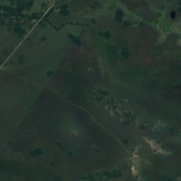
Satelita: Sentinel-2 cloudless 2016 – EOX IT Services GmbH · CC BY 4.0 · Zawiera zmodyfikowane dane Copernicus Sentinel (2016)
Isla Payaguá
Pilar, Ñeembucú
56 m
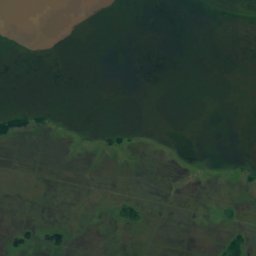
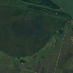
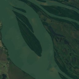
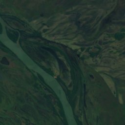
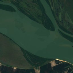
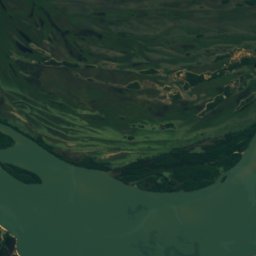
Satelita: Sentinel-2 cloudless 2016 – EOX IT Services GmbH · CC BY 4.0 · Zawiera zmodyfikowane dane Copernicus Sentinel (2016)
Isla Los Patos
Ayolas, Misiones
59 m
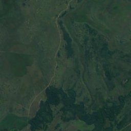
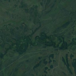
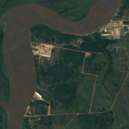
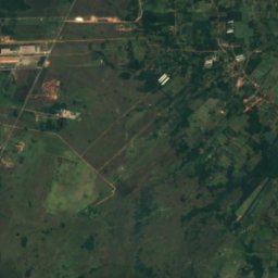
Satelita: Sentinel-2 cloudless 2016 – EOX IT Services GmbH · CC BY 4.0 · Zawiera zmodyfikowane dane Copernicus Sentinel (2016)
Isla Itá-Pirú
Nueva Italia, Departament Centralny
58 m
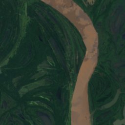
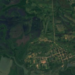
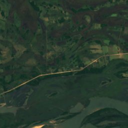
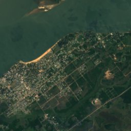
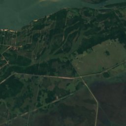
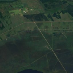
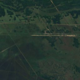
Satelita: Sentinel-2 cloudless 2016 – EOX IT Services GmbH · CC BY 4.0 · Zawiera zmodyfikowane dane Copernicus Sentinel (2016)
Isla Toledo
Paso de Patria, Ñeembucú
53 m
Satelita: Sentinel-2 cloudless 2016 – EOX IT Services GmbH · CC BY 4.0 · Zawiera zmodyfikowane dane Copernicus Sentinel (2016)
Isla Sirena
Ayolas, Misiones
61 m
Rzeki
Rzeki Paragwaju

Zdjęcie: Alceu Mauro Denes · CC BY 3.0 · Wikimedia CommonsZgłoś to zdjęcie · wyświetlane przez odnośnik, nie kopiowane
Apa
San Lázaro, Departament Concepción

Zdjęcie: Kripo8190 · Public domain · Wikimedia CommonsZgłoś to zdjęcie · wyświetlane przez odnośnik, nie kopiowane
Río Acaray
Ciudad del Este, Górna Parana

Zdjęcie: Jarbas yurasseck, jr · CC BY-SA 3.0 · Wikimedia CommonsZgłoś to zdjęcie · wyświetlane przez odnośnik, nie kopiowane
Río Piquirí
Salto del Guairá, Canindeyú
222 m

Zdjęcie: Rodney Damián · CC BY-SA 3.0 · Wikimedia CommonsZgłoś to zdjęcie · wyświetlane przez odnośnik, nie kopiowane
Río Confuso
Benjamín Aceval, Presidente Hayes

Zdjęcie: Edgar Funk · Public domain · Wikimedia CommonsZgłoś to zdjęcie · wyświetlane przez odnośnik, nie kopiowane
Río Ypané
Concepción, Departament Concepción
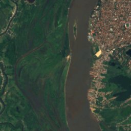
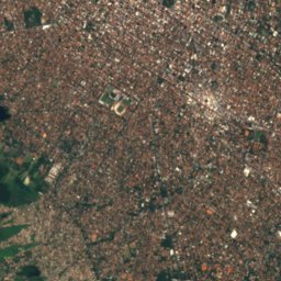
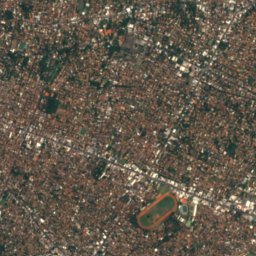
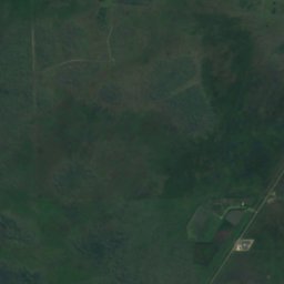
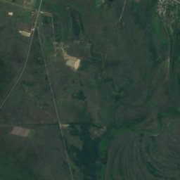
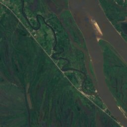
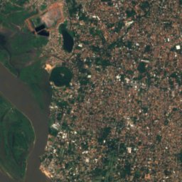
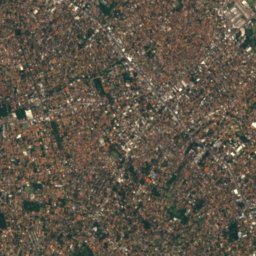
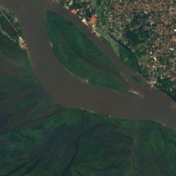
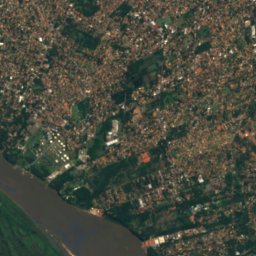
Satelita: Sentinel-2 cloudless 2016 – EOX IT Services GmbH · CC BY 4.0 · Zawiera zmodyfikowane dane Copernicus Sentinel (2016)
Pilcomayo
Lambaré, Departament Centralny
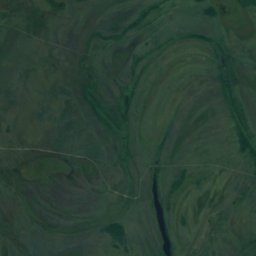
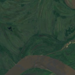
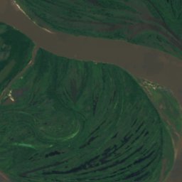
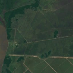
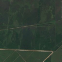
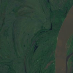
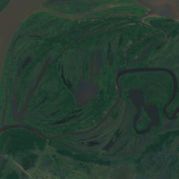
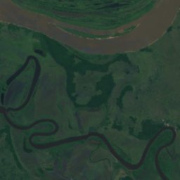
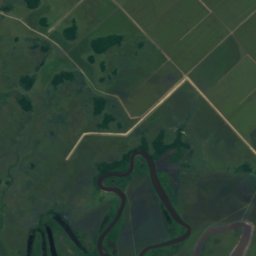
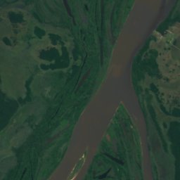
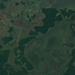
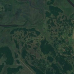
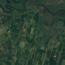
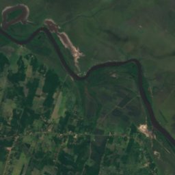
Satelita: Sentinel-2 cloudless 2016 – EOX IT Services GmbH · CC BY 4.0 · Zawiera zmodyfikowane dane Copernicus Sentinel (2016)
Río Manduvirá
Emboscada, Cordillera
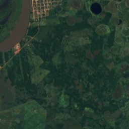
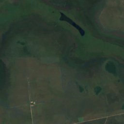
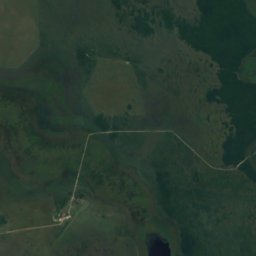
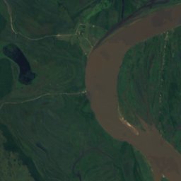
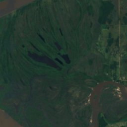
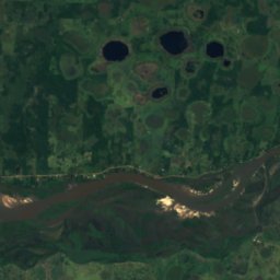
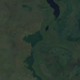
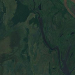
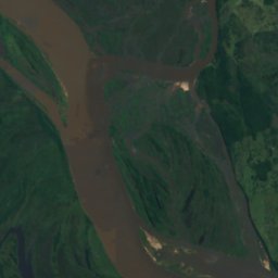
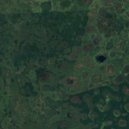
Satelita: Sentinel-2 cloudless 2016 – EOX IT Services GmbH · CC BY 4.0 · Zawiera zmodyfikowane dane Copernicus Sentinel (2016)
Río Jejuí Guazú
San Pedro del Ycuamandiyú, San Pedro
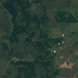
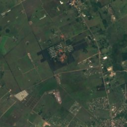
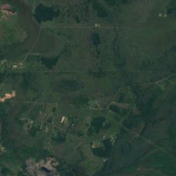
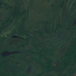
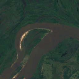
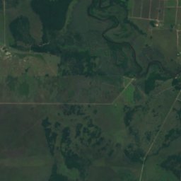
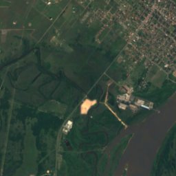
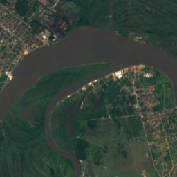
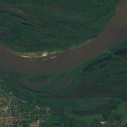
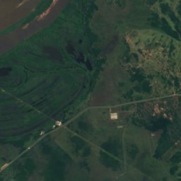
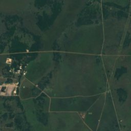
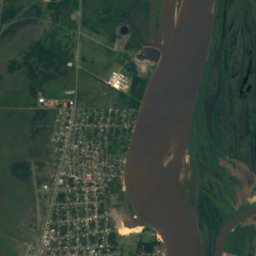
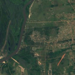
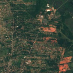
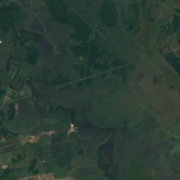


Satelita: Sentinel-2 cloudless 2016 – EOX IT Services GmbH · CC BY 4.0 · Zawiera zmodyfikowane dane Copernicus Sentinel (2016)
Río Salado
Emboscada, Cordillera