자연
파라과이의 물가, 빙하, 야생
호수, 폭포, 빙하, 국립공원, 산장. 각각의 위치, 규모, 주변 날씨를 소개합니다.
호수7곳(개별 페이지 있음)
폭포1곳(개별 페이지 있음)
국립공원6곳(개별 페이지 있음)
해변3곳(개별 페이지 있음)

호수
파라과이의 호수

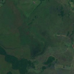
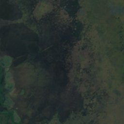

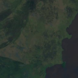
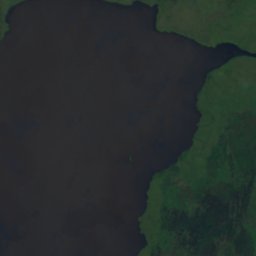
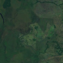
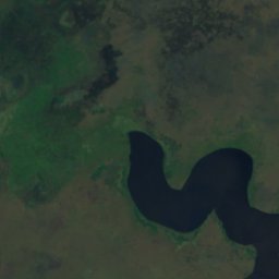
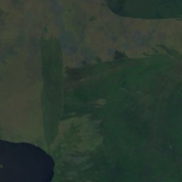
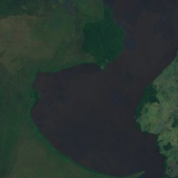
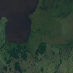
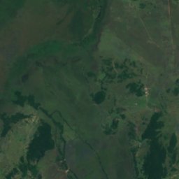
위성: Sentinel-2 cloudless 2016(EOX IT Services GmbH) · CC BY 4.0 · 수정된 Copernicus Sentinel 데이터(2016) 포함
Lago Ypoa
Quiíndy, Paraguarí
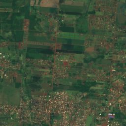
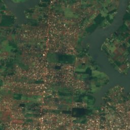
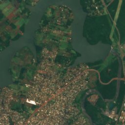
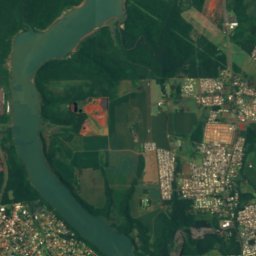
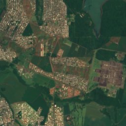
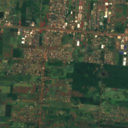
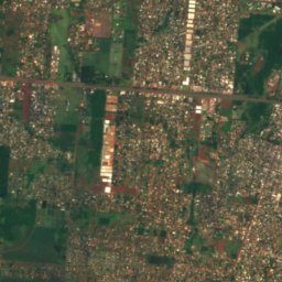
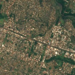
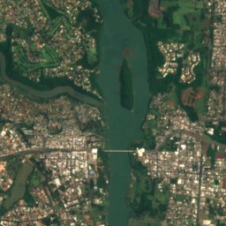
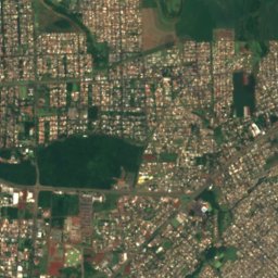
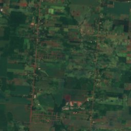
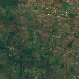
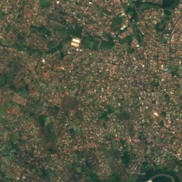
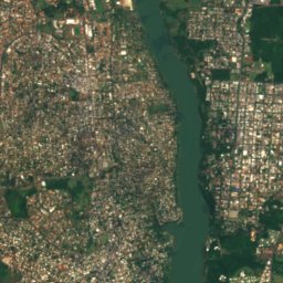
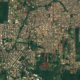
위성: Sentinel-2 cloudless 2016(EOX IT Services GmbH) · CC BY 4.0 · 수정된 Copernicus Sentinel 데이터(2016) 포함
Lago de la República
시우다드델에스테, Alto Paraná Department
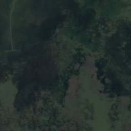
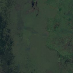
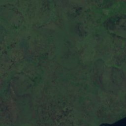
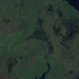
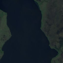
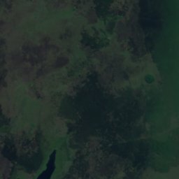
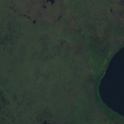
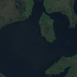
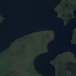
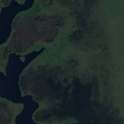
위성: Sentinel-2 cloudless 2016(EOX IT Services GmbH) · CC BY 4.0 · 수정된 Copernicus Sentinel 데이터(2016) 포함
Laguna Verá
Quiíndy, Paraguarí
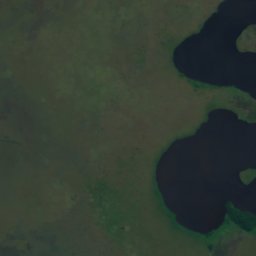
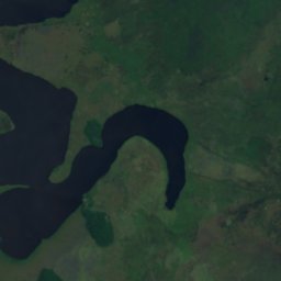
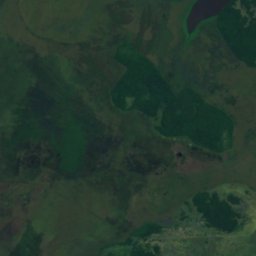
위성: Sentinel-2 cloudless 2016(EOX IT Services GmbH) · CC BY 4.0 · 수정된 Copernicus Sentinel 데이터(2016) 포함
Laguna Cabral
Quiíndy, Paraguarí
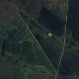
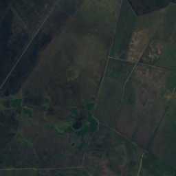
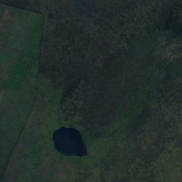
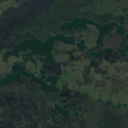
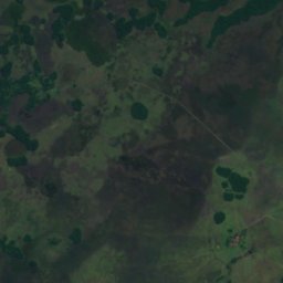
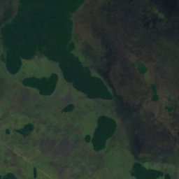
위성: Sentinel-2 cloudless 2016(EOX IT Services GmbH) · CC BY 4.0 · 수정된 Copernicus Sentinel 데이터(2016) 포함
Laguna Guazú
Ayolas, Misiones Department
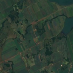
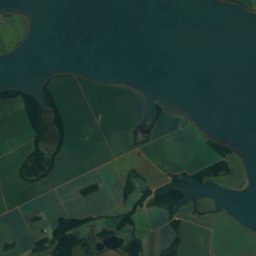
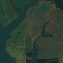
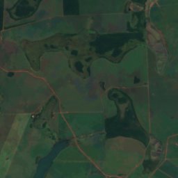
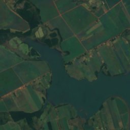
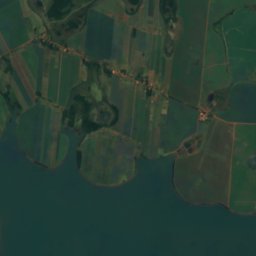
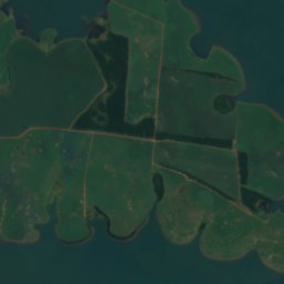
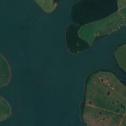
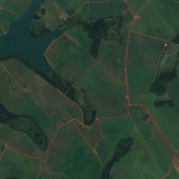
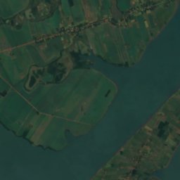
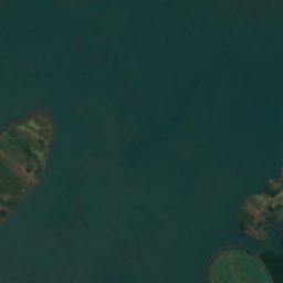
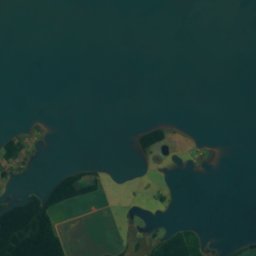
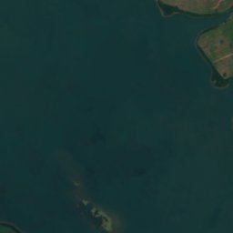
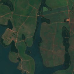
위성: Sentinel-2 cloudless 2016(EOX IT Services GmbH) · CC BY 4.0 · 수정된 Copernicus Sentinel 데이터(2016) 포함
Yguazú Lake
닥터 후안 레온 말로퀸, Alto Paraná Department
폭포
파라과이의 폭포

국립공원
파라과이의 국립공원
위성: Sentinel-2 cloudless 2016(EOX IT Services GmbH) · CC BY 4.0 · 수정된 Copernicus Sentinel 데이터(2016) 포함
Ypoá National Park
Quiíndy, Paraguarí
1,000 km²
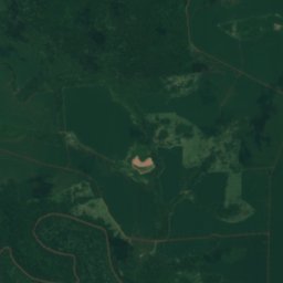
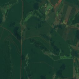
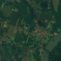
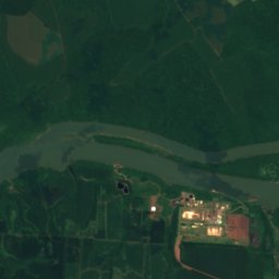
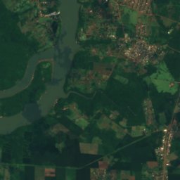
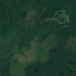
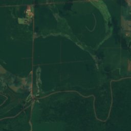
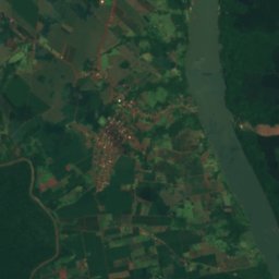
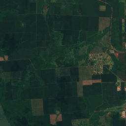
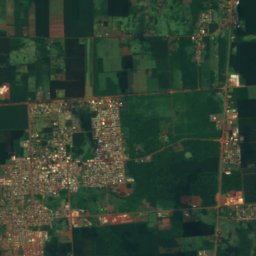
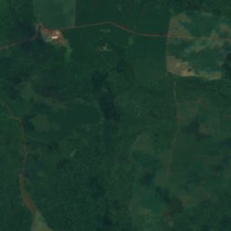
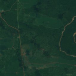
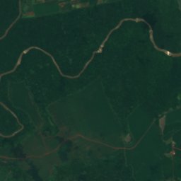
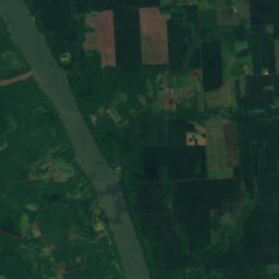
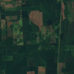
위성: Sentinel-2 cloudless 2016(EOX IT Services GmbH) · CC BY 4.0 · 수정된 Copernicus Sentinel 데이터(2016) 포함
Nacunday National Park
Ñacunday, Alto Paraná Department
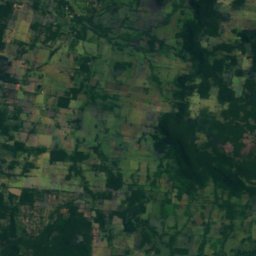
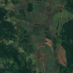
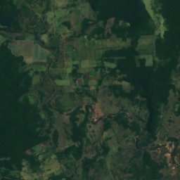
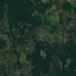
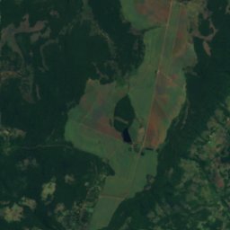
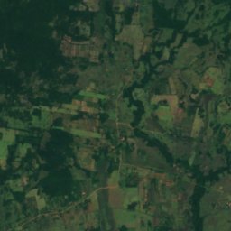
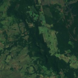
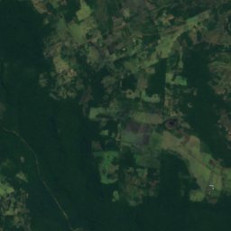
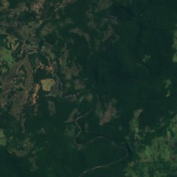
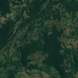
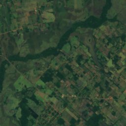
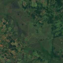
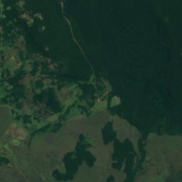
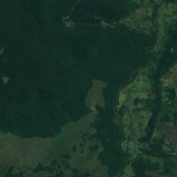
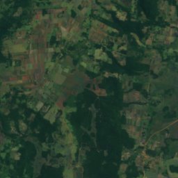
위성: Sentinel-2 cloudless 2016(EOX IT Services GmbH) · CC BY 4.0 · 수정된 Copernicus Sentinel 데이터(2016) 포함
Ybycuí National Park
Mbuyapey, Paraguarí
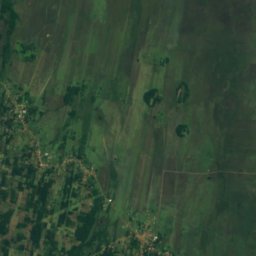
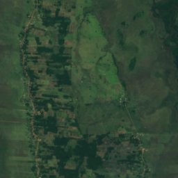
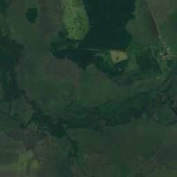
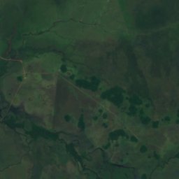
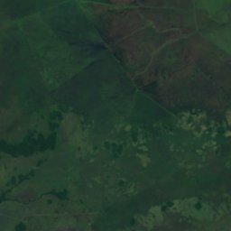
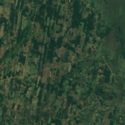
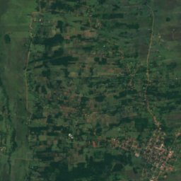
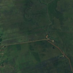
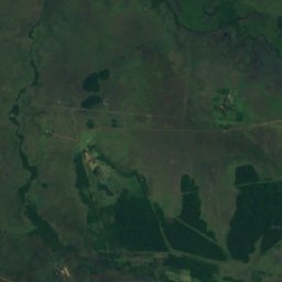
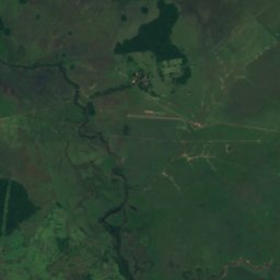
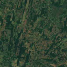
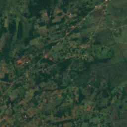
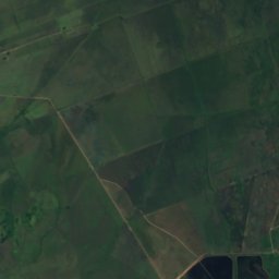
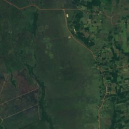
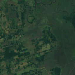
위성: Sentinel-2 cloudless 2016(EOX IT Services GmbH) · CC BY 4.0 · 수정된 Copernicus Sentinel 데이터(2016) 포함
Vapor Cué National Park
Caraguatay, Cordillera Department
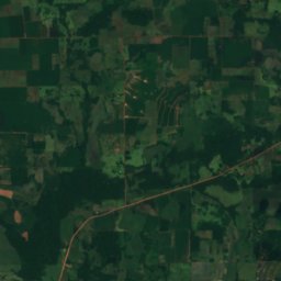
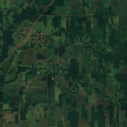
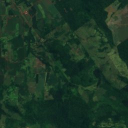
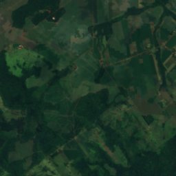
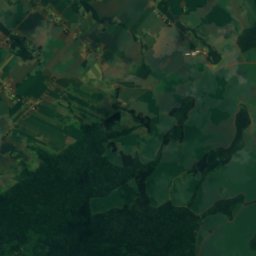
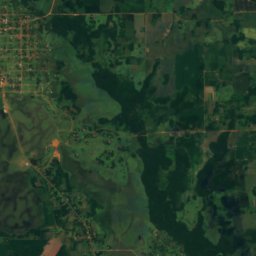
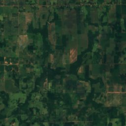
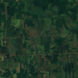
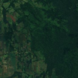
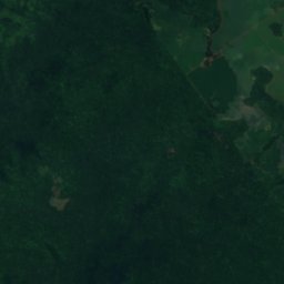
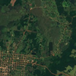
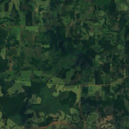
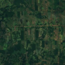
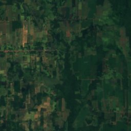
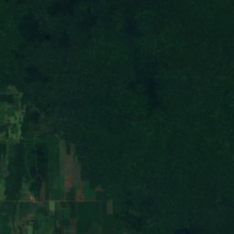
위성: Sentinel-2 cloudless 2016(EOX IT Services GmbH) · CC BY 4.0 · 수정된 Copernicus Sentinel 데이터(2016) 포함
Caazapá National Park
General Higinio Morínigo, Caazapá
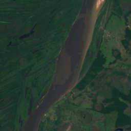
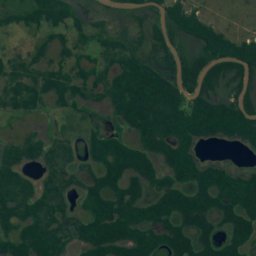
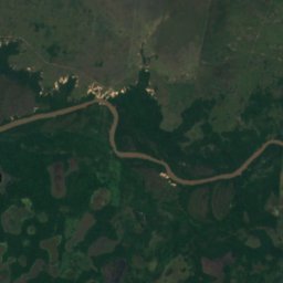
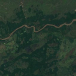
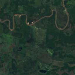
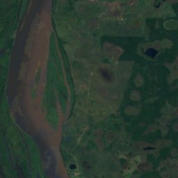
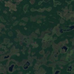
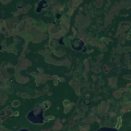
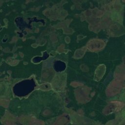
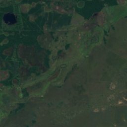
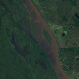
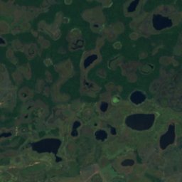
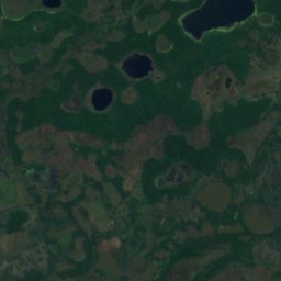
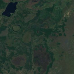
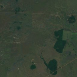
위성: Sentinel-2 cloudless 2016(EOX IT Services GmbH) · CC BY 4.0 · 수정된 Copernicus Sentinel 데이터(2016) 포함
Estero Milagro National Park
콘셉시온, Concepción
0 km²
해변
파라과이의 해변


섬
파라과이의 섬


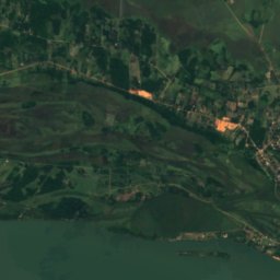
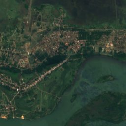
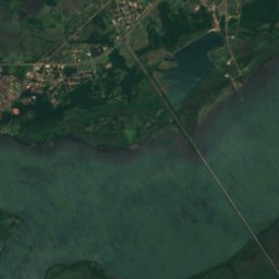
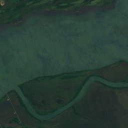
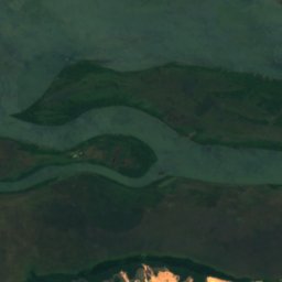
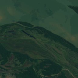
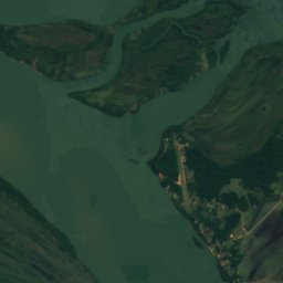
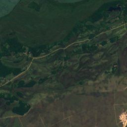
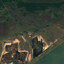
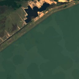
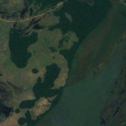
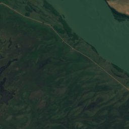
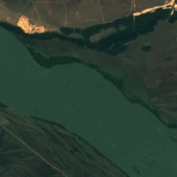
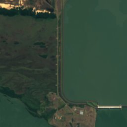
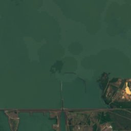
위성: Sentinel-2 cloudless 2016(EOX IT Services GmbH) · CC BY 4.0 · 수정된 Copernicus Sentinel 데이터(2016) 포함
Yacyretá Island
Ayolas, Misiones Department
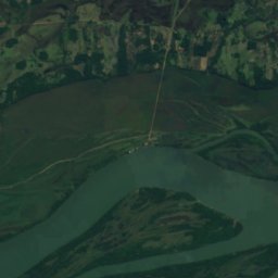
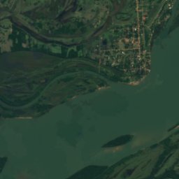
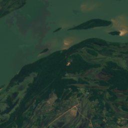
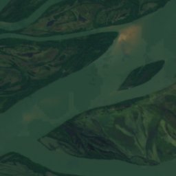
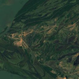
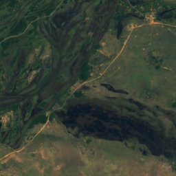
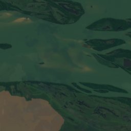
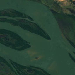
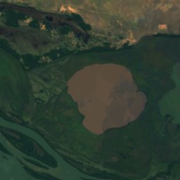
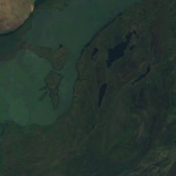
위성: Sentinel-2 cloudless 2016(EOX IT Services GmbH) · CC BY 4.0 · 수정된 Copernicus Sentinel 데이터(2016) 포함
Isla Apipé
Ayolas, Misiones Department
63 m
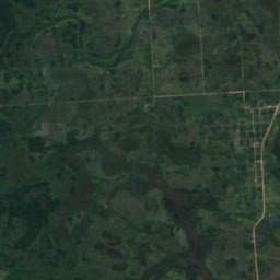
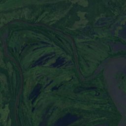
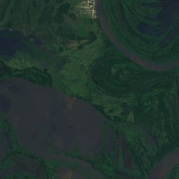
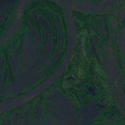
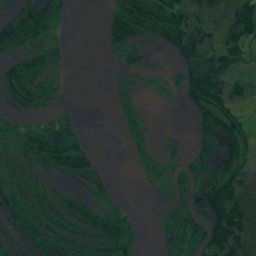
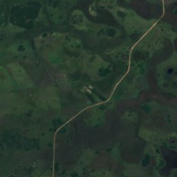
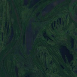
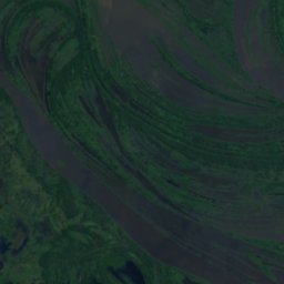
위성: Sentinel-2 cloudless 2016(EOX IT Services GmbH) · CC BY 4.0 · 수정된 Copernicus Sentinel 데이터(2016) 포함
Isla Payaguá
필라르, Ñeembucú Department
56 m
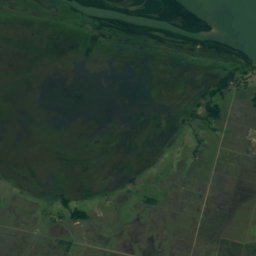
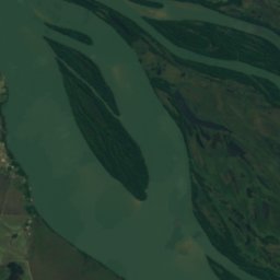
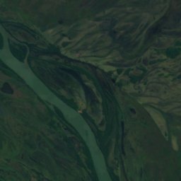
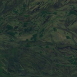
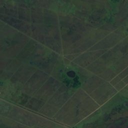
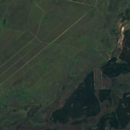
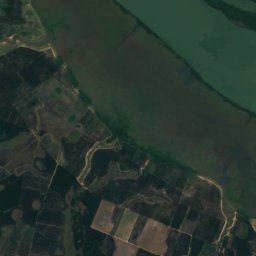
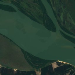
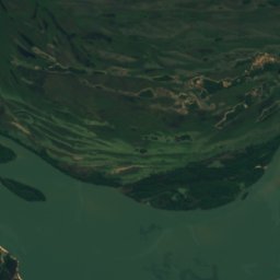
위성: Sentinel-2 cloudless 2016(EOX IT Services GmbH) · CC BY 4.0 · 수정된 Copernicus Sentinel 데이터(2016) 포함
Isla Los Patos
Ayolas, Misiones Department
59 m
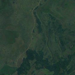
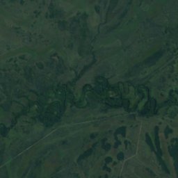
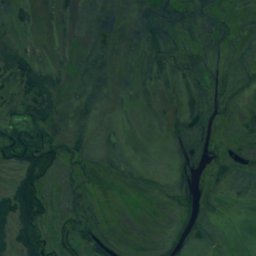
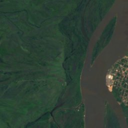
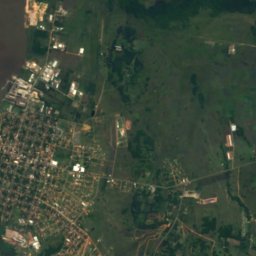
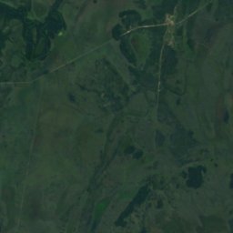
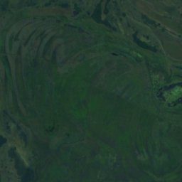
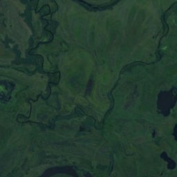
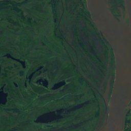
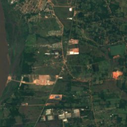
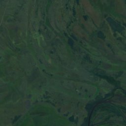
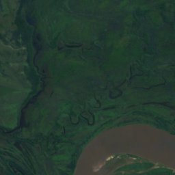
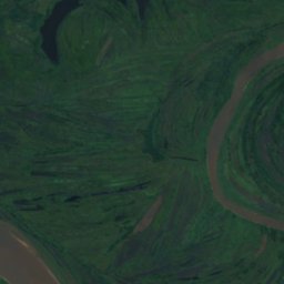
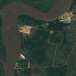
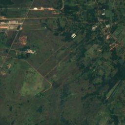
위성: Sentinel-2 cloudless 2016(EOX IT Services GmbH) · CC BY 4.0 · 수정된 Copernicus Sentinel 데이터(2016) 포함
Isla Itá-Pirú
누에바 이탈리아, Central Department
58 m
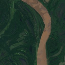
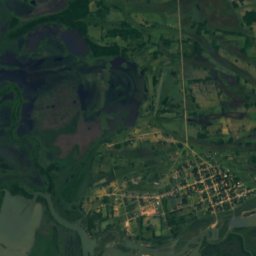
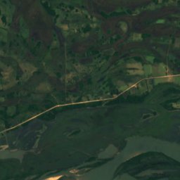
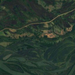
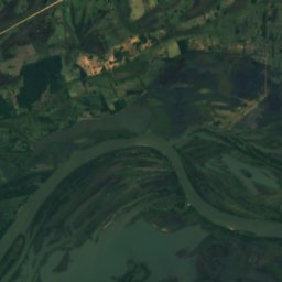
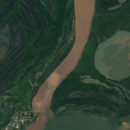
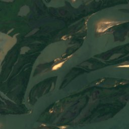
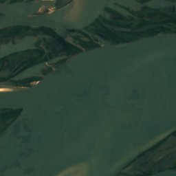
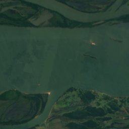
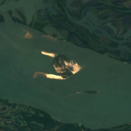
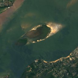
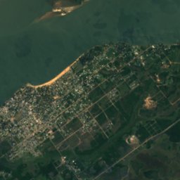
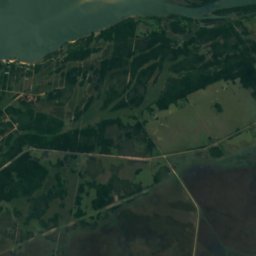
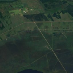
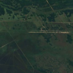
위성: Sentinel-2 cloudless 2016(EOX IT Services GmbH) · CC BY 4.0 · 수정된 Copernicus Sentinel 데이터(2016) 포함
Isla Toledo
Paso de Patria, Ñeembucú Department
53 m
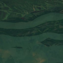
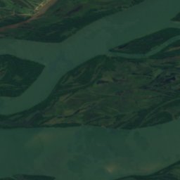
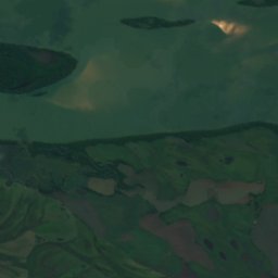
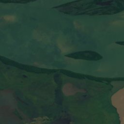
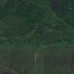
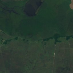
위성: Sentinel-2 cloudless 2016(EOX IT Services GmbH) · CC BY 4.0 · 수정된 Copernicus Sentinel 데이터(2016) 포함
Isla Sirena
Ayolas, Misiones Department
61 m
강
파라과이의 강


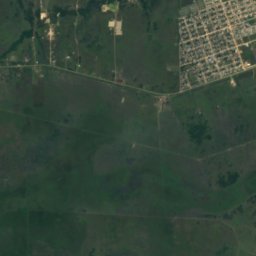
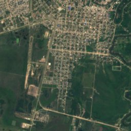
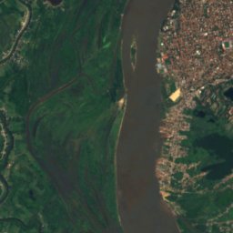
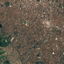
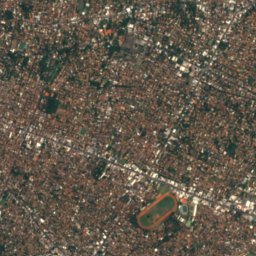
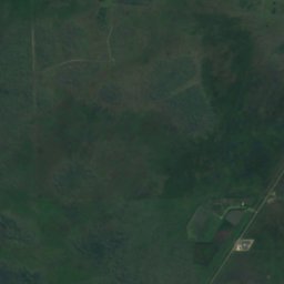
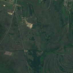
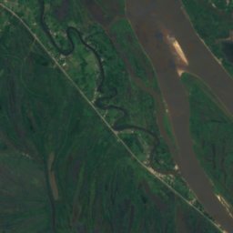
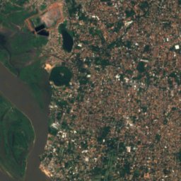
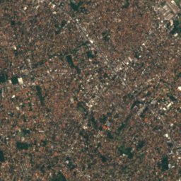
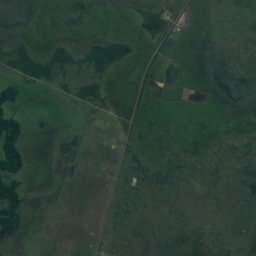
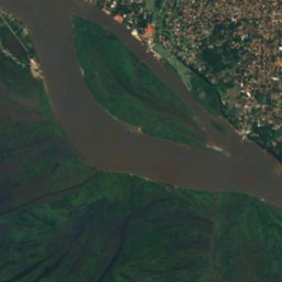
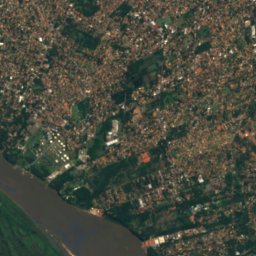
위성: Sentinel-2 cloudless 2016(EOX IT Services GmbH) · CC BY 4.0 · 수정된 Copernicus Sentinel 데이터(2016) 포함
필코마요강
람바레, Central Department
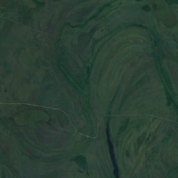
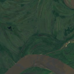
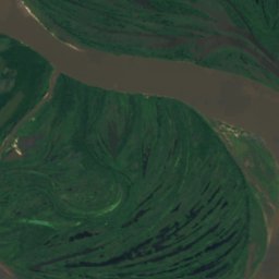
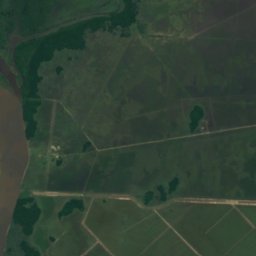
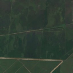
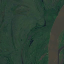
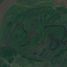
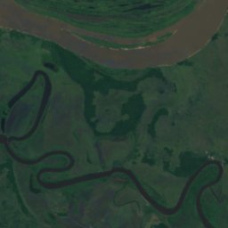
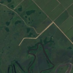
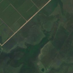
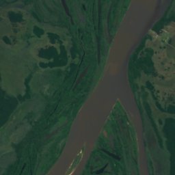
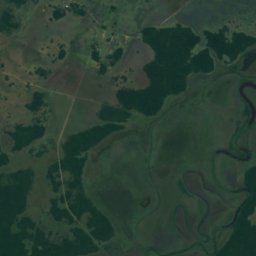
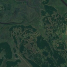
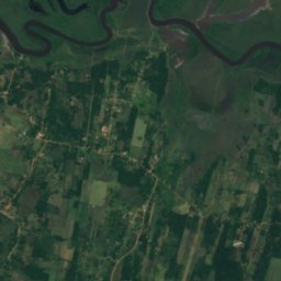
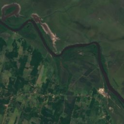
위성: Sentinel-2 cloudless 2016(EOX IT Services GmbH) · CC BY 4.0 · 수정된 Copernicus Sentinel 데이터(2016) 포함
Manduvirá River
Emboscada, Cordillera Department
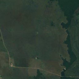
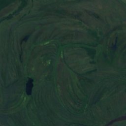
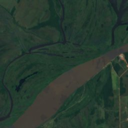
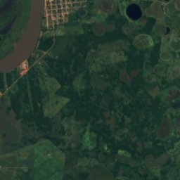
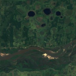
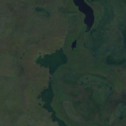
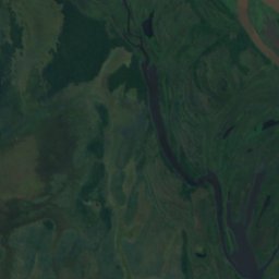
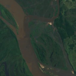
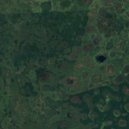
위성: Sentinel-2 cloudless 2016(EOX IT Services GmbH) · CC BY 4.0 · 수정된 Copernicus Sentinel 데이터(2016) 포함
Jejuí Guazú River
산페드로데이쿠아만디유, San Pedro Department
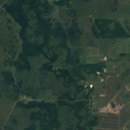
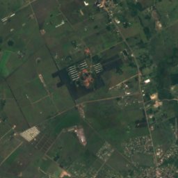
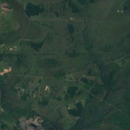
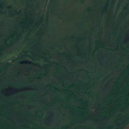
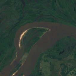
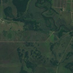
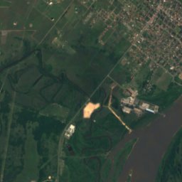
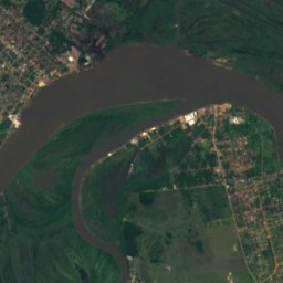
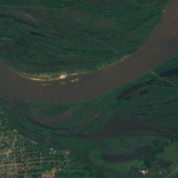
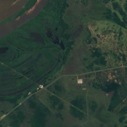
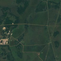
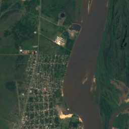
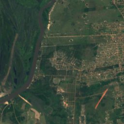
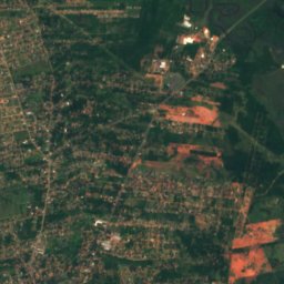
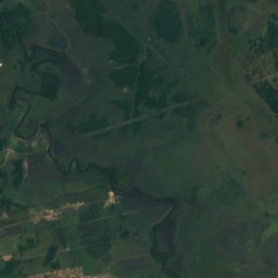


위성: Sentinel-2 cloudless 2016(EOX IT Services GmbH) · CC BY 4.0 · 수정된 Copernicus Sentinel 데이터(2016) 포함
Salado River
Emboscada, Cordillera Department