Natur
Wasser, Eis und Wildnis in Paraguay
Seen, Wasserfälle, Gletscher, Nationalparks und Berghütten – jeweils mit Lage, Größe und dem Wetter der Orte ringsum.
Seen7mit eigener Seite
Wasserfälle1mit eigener Seite
Nationalparks6mit eigener Seite
Strände3mit eigener Seite

Seen
Seen Paraguays

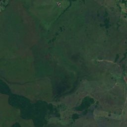
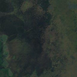

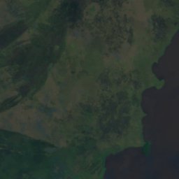
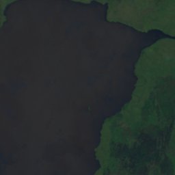
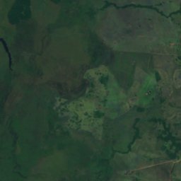
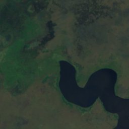
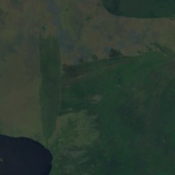
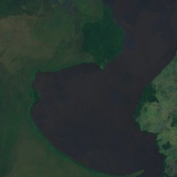
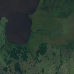
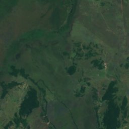
Satellit: Sentinel-2 cloudless 2016 by EOX IT Services GmbH · CC BY 4.0 · Contains modified Copernicus Sentinel data 2016
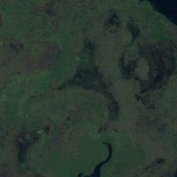
Lago Ypoá
Quiíndy, Departamento Paraguarí
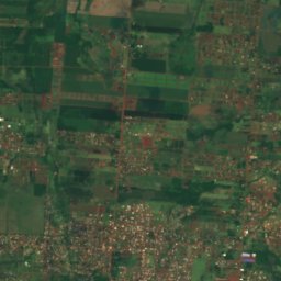
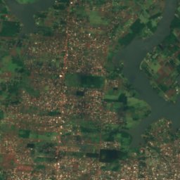
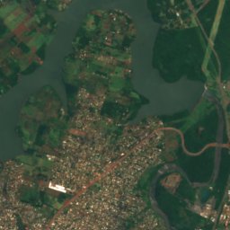
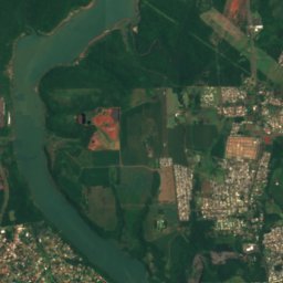
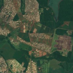
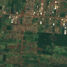
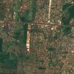
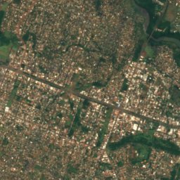
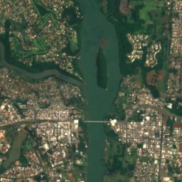
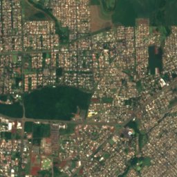
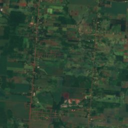
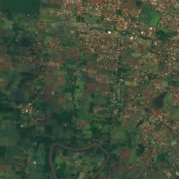
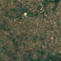
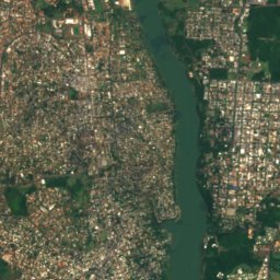
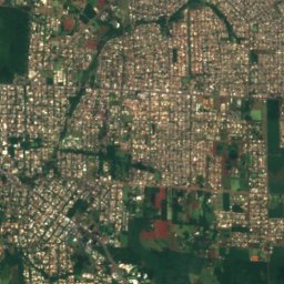
Satellit: Sentinel-2 cloudless 2016 by EOX IT Services GmbH · CC BY 4.0 · Contains modified Copernicus Sentinel data 2016
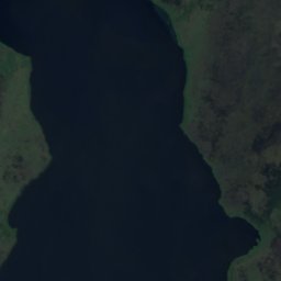
Lago de la República
Ciudad del Este, Departamento Alto Paraná
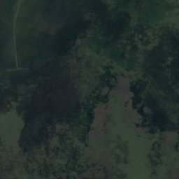
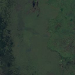
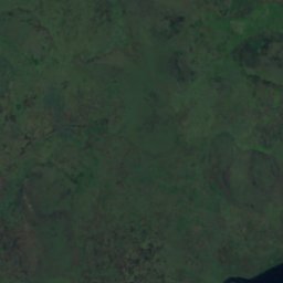
Satellit: Sentinel-2 cloudless 2016 by EOX IT Services GmbH · CC BY 4.0 · Contains modified Copernicus Sentinel data 2016
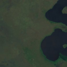
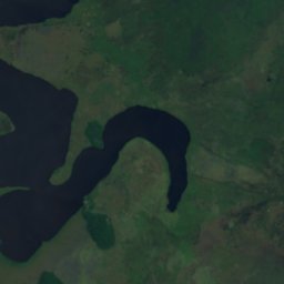
Der See Verá
Quiíndy, Departamento Paraguarí
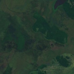
Satellit: Sentinel-2 cloudless 2016 by EOX IT Services GmbH · CC BY 4.0 · Contains modified Copernicus Sentinel data 2016
Laguna Cabral
Quiíndy, Departamento Paraguarí
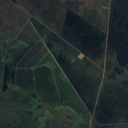
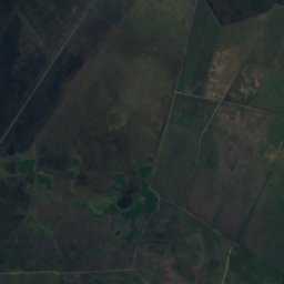
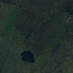
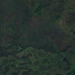
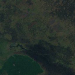
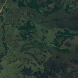
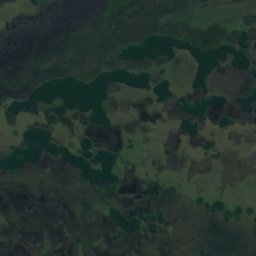
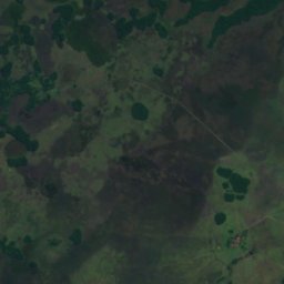
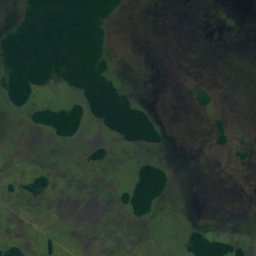
Satellit: Sentinel-2 cloudless 2016 by EOX IT Services GmbH · CC BY 4.0 · Contains modified Copernicus Sentinel data 2016
Laguna Guazú
Ayolas, Departamento Misiones
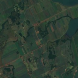
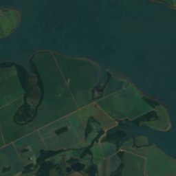
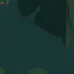
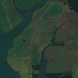
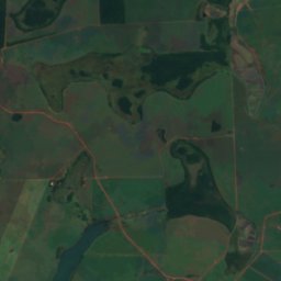
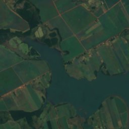
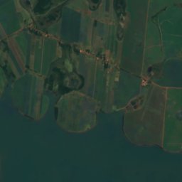
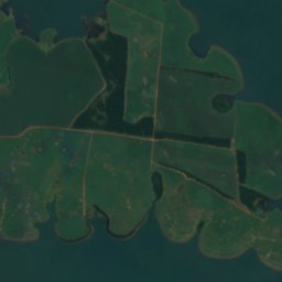
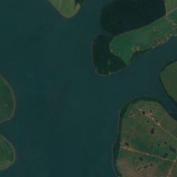
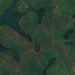
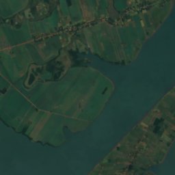
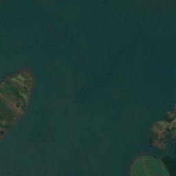
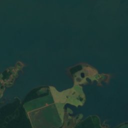
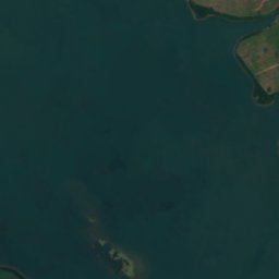
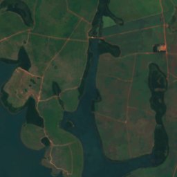
Satellit: Sentinel-2 cloudless 2016 by EOX IT Services GmbH · CC BY 4.0 · Contains modified Copernicus Sentinel data 2016
Lago del Rio Yguazú
Doctor Juan León Mallorquín, Departamento Alto Paraná
Wasserfälle
Wasserfälle Paraguays

Nationalparks
Nationalparks Paraguays
Satellit: Sentinel-2 cloudless 2016 by EOX IT Services GmbH · CC BY 4.0 · Contains modified Copernicus Sentinel data 2016
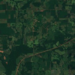
Parque nacional Ypoá
Quiíndy, Departamento Paraguarí
1.000 km²
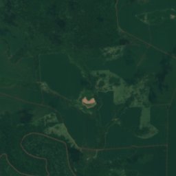
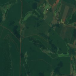
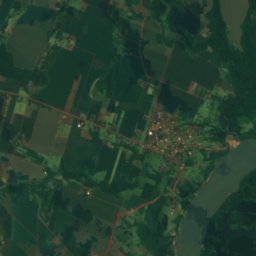
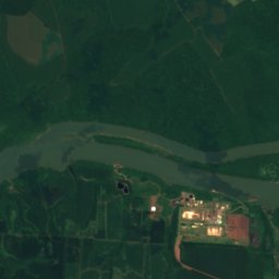
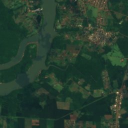
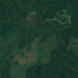
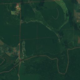
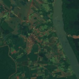
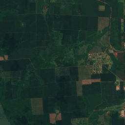
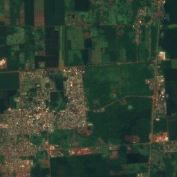
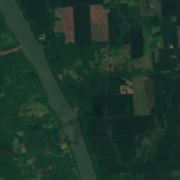
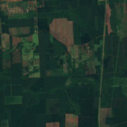
Satellit: Sentinel-2 cloudless 2016 by EOX IT Services GmbH · CC BY 4.0 · Contains modified Copernicus Sentinel data 2016
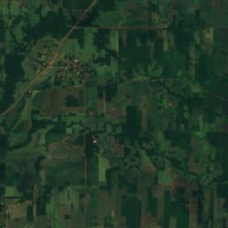
Nationalpark Ñacunday
Ñacunday, Departamento Alto Paraná
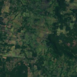
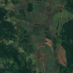
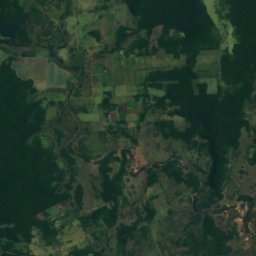
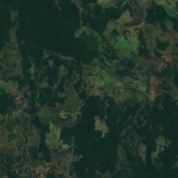
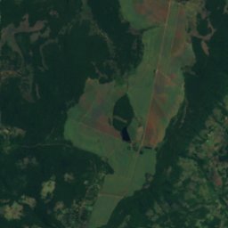
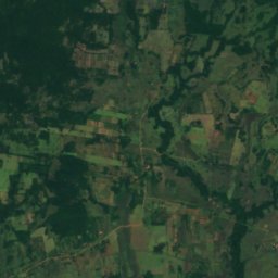
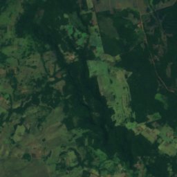
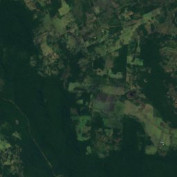
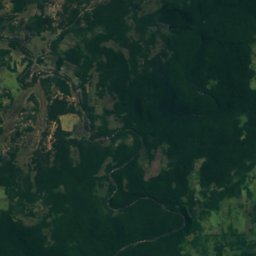
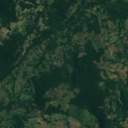
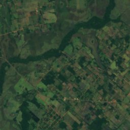
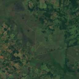
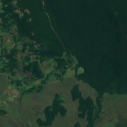
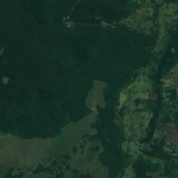
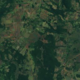
Satellit: Sentinel-2 cloudless 2016 by EOX IT Services GmbH · CC BY 4.0 · Contains modified Copernicus Sentinel data 2016
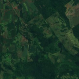
Nationalpark Ybycuí
Mbuyapey, Departamento Paraguarí
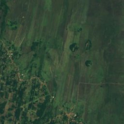
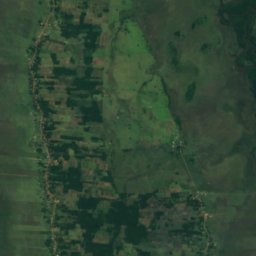
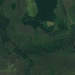
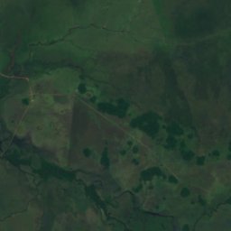
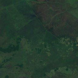
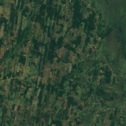
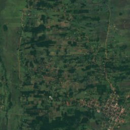
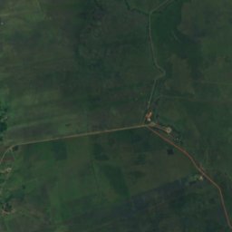
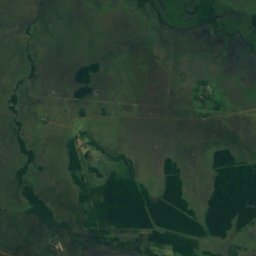
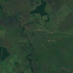
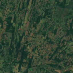
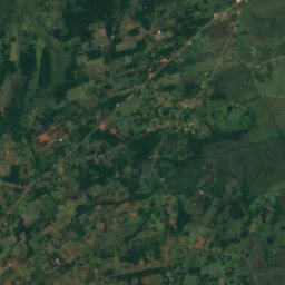
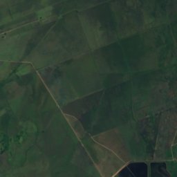
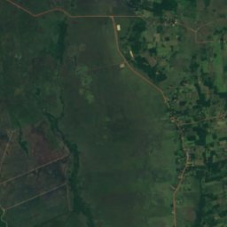
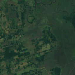
Satellit: Sentinel-2 cloudless 2016 by EOX IT Services GmbH · CC BY 4.0 · Contains modified Copernicus Sentinel data 2016
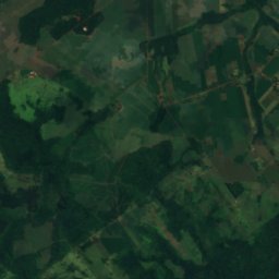
Parque nacional Vapor Cué
Caraguatay, Departamento Cordillera
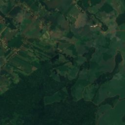
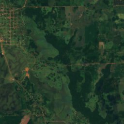
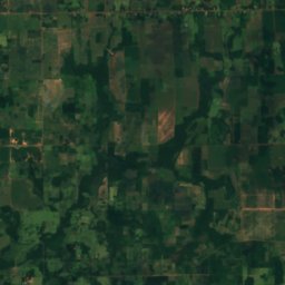
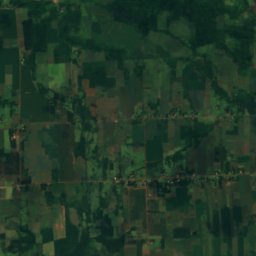
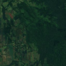
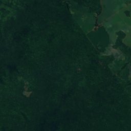
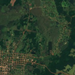
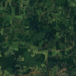
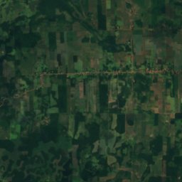
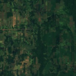
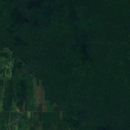
Satellit: Sentinel-2 cloudless 2016 by EOX IT Services GmbH · CC BY 4.0 · Contains modified Copernicus Sentinel data 2016
Nationalpark Caazapá
General Higinio Morínigo, Departamento Caazapá
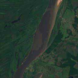
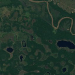
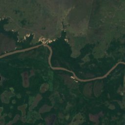
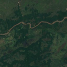
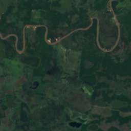
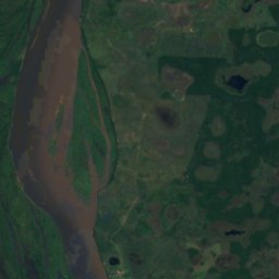
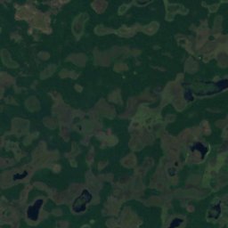
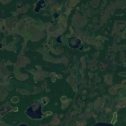
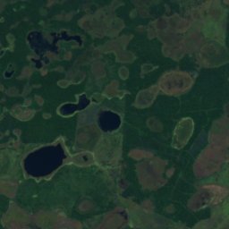
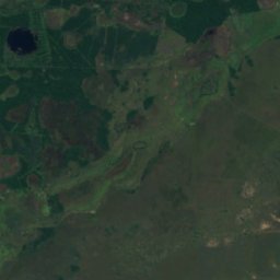
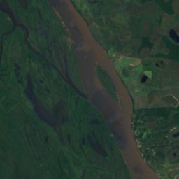
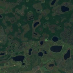
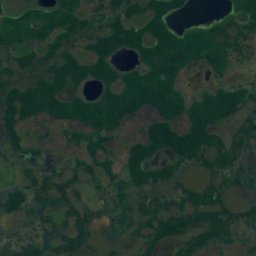
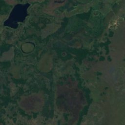
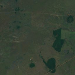
Satellit: Sentinel-2 cloudless 2016 by EOX IT Services GmbH · CC BY 4.0 · Contains modified Copernicus Sentinel data 2016
Parque nacional Estero Milagro
Concepción, Departamento Concepción
0 km²
Strände
Strände Paraguays


Inseln
Inseln Paraguays

Foto: User Pertile in es.wikipedia · CC BY 3.0 · Wikimedia CommonsFoto melden · verlinkt, nicht gespeichert
Isla del Cerrito
Paso de Patria, Departamento Ñeembucú
52 m

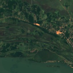
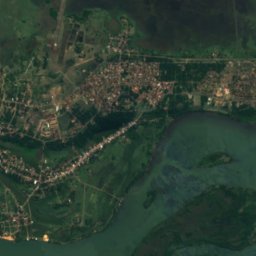
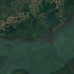
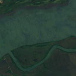
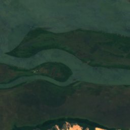
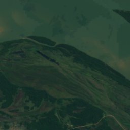
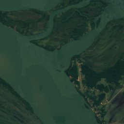
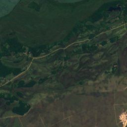
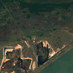
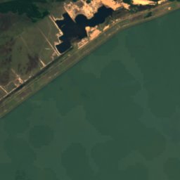
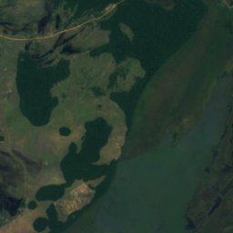
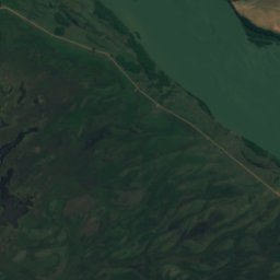
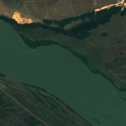
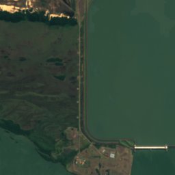
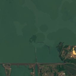
Satellit: Sentinel-2 cloudless 2016 by EOX IT Services GmbH · CC BY 4.0 · Contains modified Copernicus Sentinel data 2016
Isla Yacyretá
Ayolas, Departamento Misiones
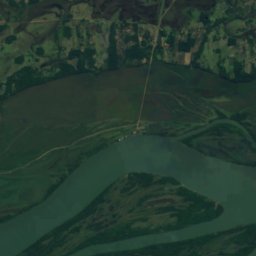
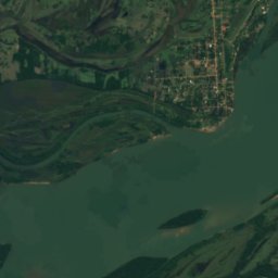
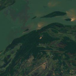
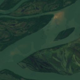
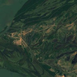
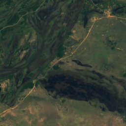
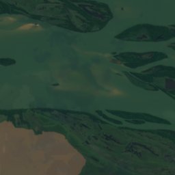
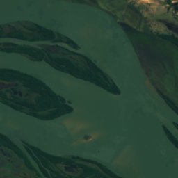
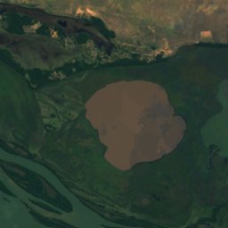
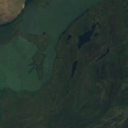
Satellit: Sentinel-2 cloudless 2016 by EOX IT Services GmbH · CC BY 4.0 · Contains modified Copernicus Sentinel data 2016
Islas Apipé
Ayolas, Departamento Misiones
63 m
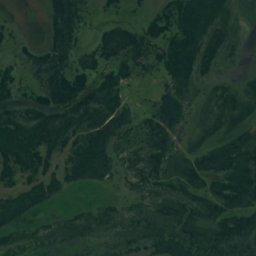
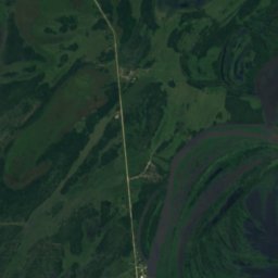
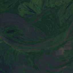
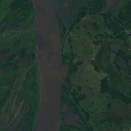
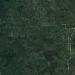
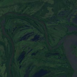
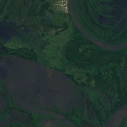
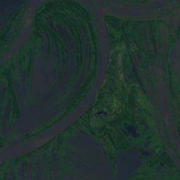
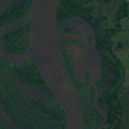
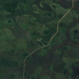
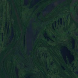
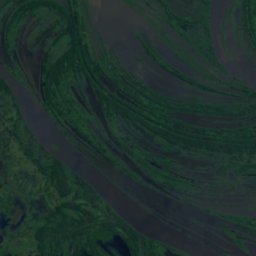
Satellit: Sentinel-2 cloudless 2016 by EOX IT Services GmbH · CC BY 4.0 · Contains modified Copernicus Sentinel data 2016
Isla Payaguá
Pilar, Departamento Ñeembucú
56 m
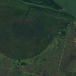
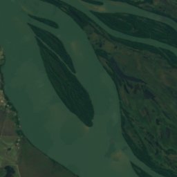
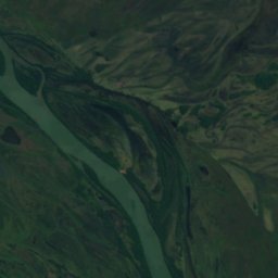
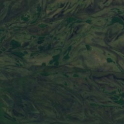
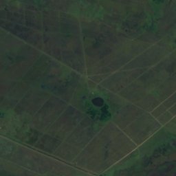
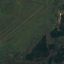
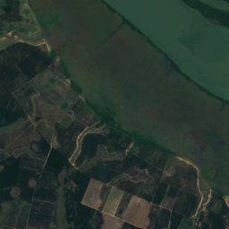
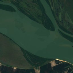
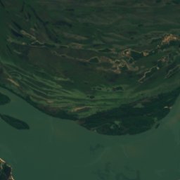
Satellit: Sentinel-2 cloudless 2016 by EOX IT Services GmbH · CC BY 4.0 · Contains modified Copernicus Sentinel data 2016
Isla Los Patos
Ayolas, Departamento Misiones
59 m
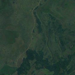
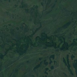
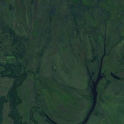
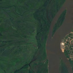
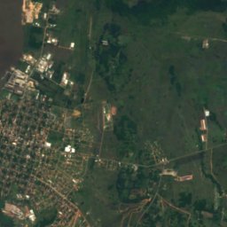
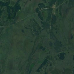
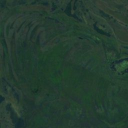
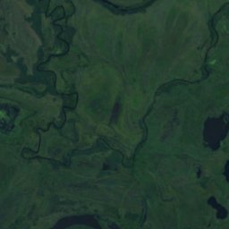
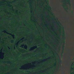
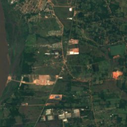
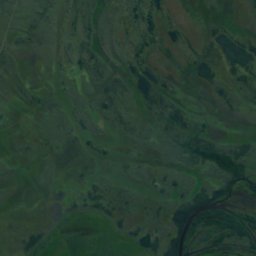
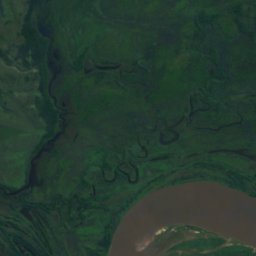
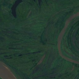
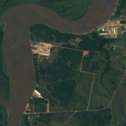
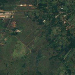
Satellit: Sentinel-2 cloudless 2016 by EOX IT Services GmbH · CC BY 4.0 · Contains modified Copernicus Sentinel data 2016
Isla Itá-Pirú
Nueva Italia, Departamento Central
58 m
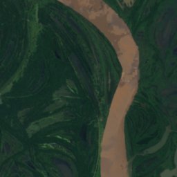
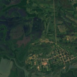
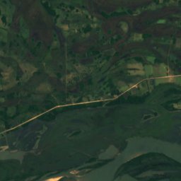
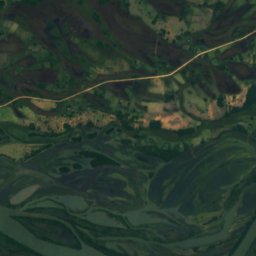
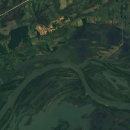
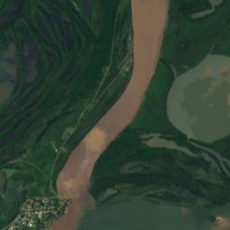
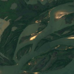
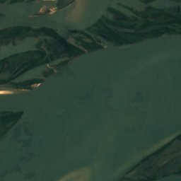
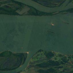
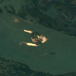
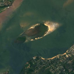
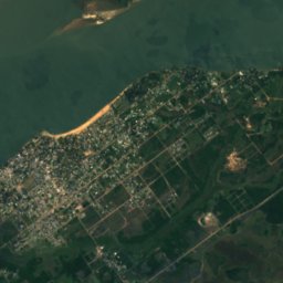
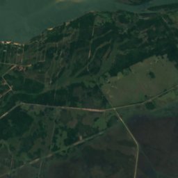
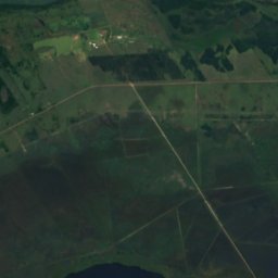
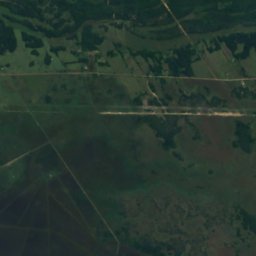
Satellit: Sentinel-2 cloudless 2016 by EOX IT Services GmbH · CC BY 4.0 · Contains modified Copernicus Sentinel data 2016
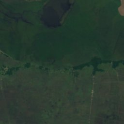
Isla Toledo
Paso de Patria, Departamento Ñeembucú
53 m
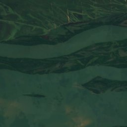
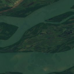
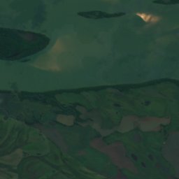
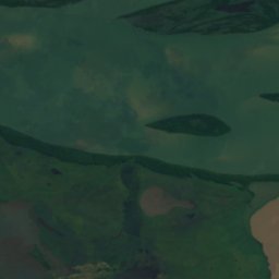
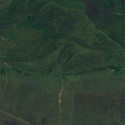
Satellit: Sentinel-2 cloudless 2016 by EOX IT Services GmbH · CC BY 4.0 · Contains modified Copernicus Sentinel data 2016
Isla Sirena
Ayolas, Departamento Misiones
61 m
Flüsse
Flüsse Paraguays


Foto: Jarbas yurasseck, jr · CC BY-SA 3.0 · Wikimedia CommonsFoto melden · verlinkt, nicht gespeichert
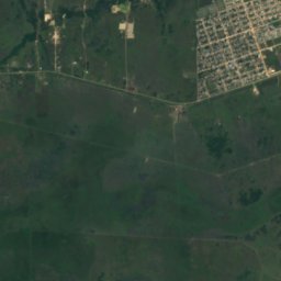
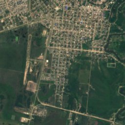
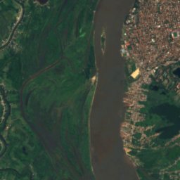
Rio Piquiri
Salto del Guairá, Departamento Canindeyú
222 m


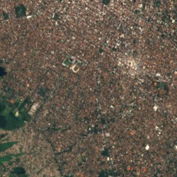
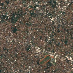
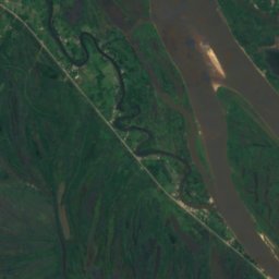
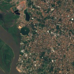
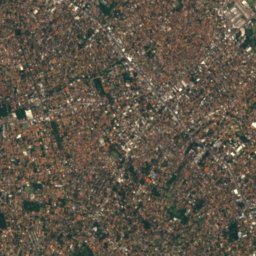
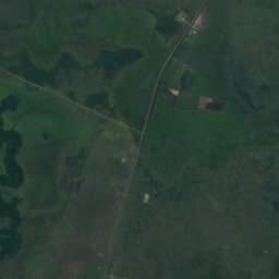
Satellit: Sentinel-2 cloudless 2016 by EOX IT Services GmbH · CC BY 4.0 · Contains modified Copernicus Sentinel data 2016
Río Pilcomayo
Lambaré, Departamento Central
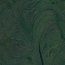
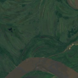
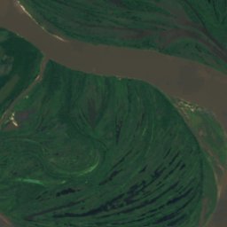
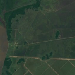
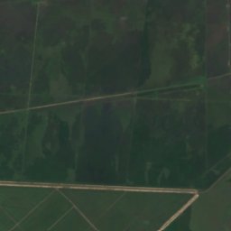
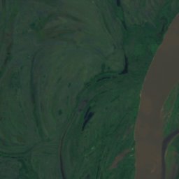
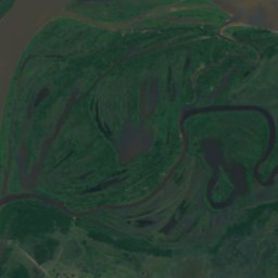
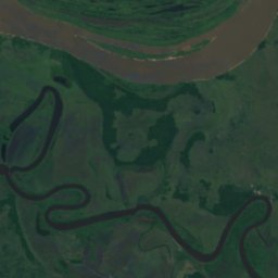
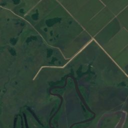
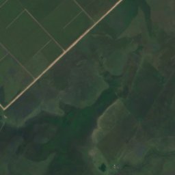
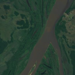
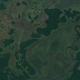
Satellit: Sentinel-2 cloudless 2016 by EOX IT Services GmbH · CC BY 4.0 · Contains modified Copernicus Sentinel data 2016
Río Manduvirá
Emboscada, Departamento Cordillera
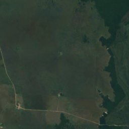
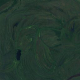
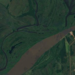
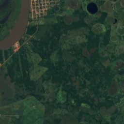
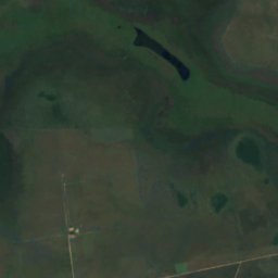
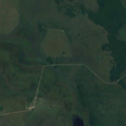
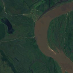
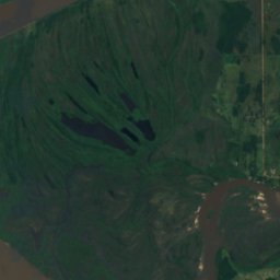
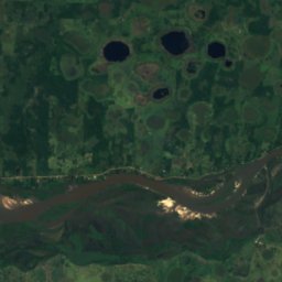
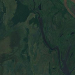
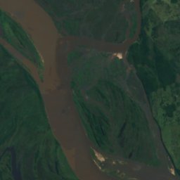
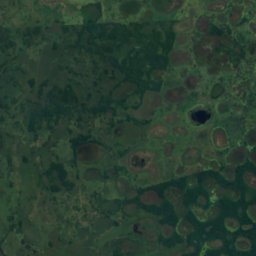
Satellit: Sentinel-2 cloudless 2016 by EOX IT Services GmbH · CC BY 4.0 · Contains modified Copernicus Sentinel data 2016
Jejuí Guazú
San Pedro de Ycuamandiyú, Departamento San Pedro
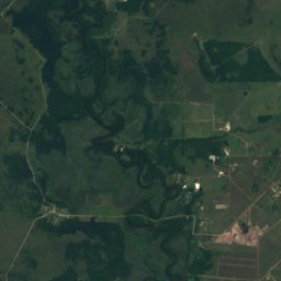
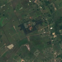
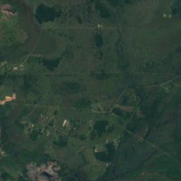
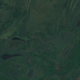
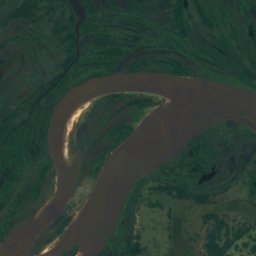
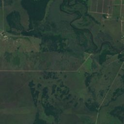
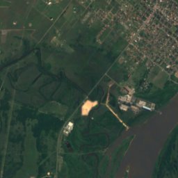
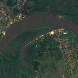
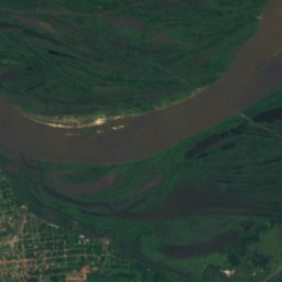
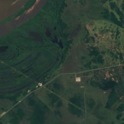
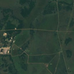
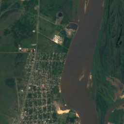
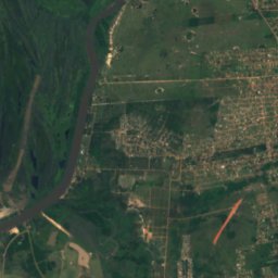
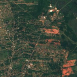
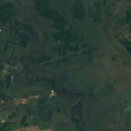


Satellit: Sentinel-2 cloudless 2016 by EOX IT Services GmbH · CC BY 4.0 · Contains modified Copernicus Sentinel data 2016
Río Salado
Emboscada, Departamento Cordillera