



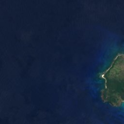
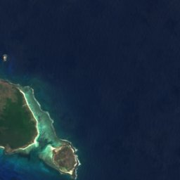













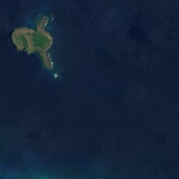






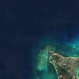
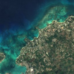
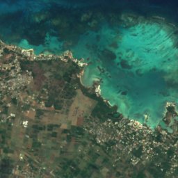
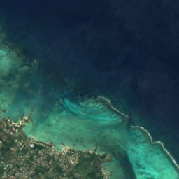



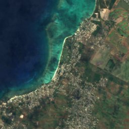
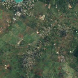
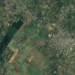
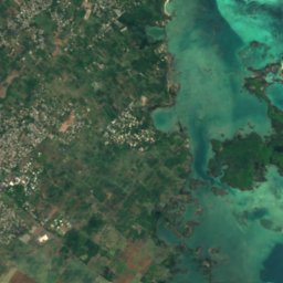
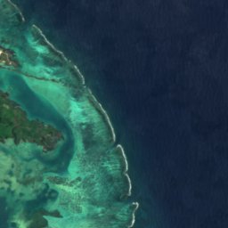



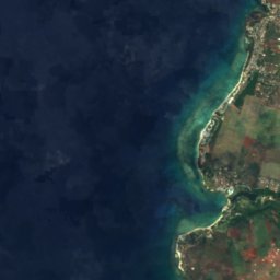
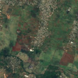
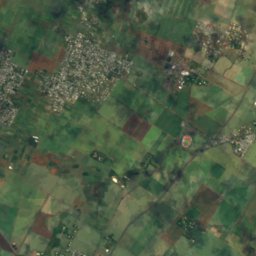
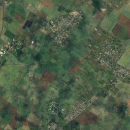
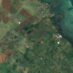
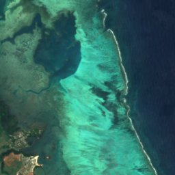


Satellit: Sentinel-2 cloudless 2016 by EOX IT Services GmbH · CC BY 4.0 · Contains modified Copernicus Sentinel data 2016

Foto: mwanasimba from La Réunion · CC BY-SA 2.0 · Wikimedia Commons
Île D’AmbreFoto melden · verlinkt, nicht gespeichert
Île D’AmbreÎle D’AmbreFoto melden · verlinkt, nicht gespeichert

Foto: ZoschH · CC BY-SA 4.0 · Wikimedia Commons
La Cuvette BeachFoto melden · verlinkt, nicht gespeichert
La Cuvette BeachLa Cuvette BeachFoto melden · verlinkt, nicht gespeichert
InselGrand Gaube, Rivière du Rempart
Mapu Patch
InselAm besten Juli · Sep.–Okt.
Höhe–über dem Meer
Fläche–Gesamtfläche
Nächster OrtGrand Gaube2,6 km
19,98° S, 57,67° OUTC+4 · Mauritius-Normalzeit
ReisezeitGrand Gaube · Wetterwertung
Beste ZeitJuli · Sep.–Okt.
Oktober: Max. / Min.24° / 22°
Insel
Mapu Patch in Kürze
Mapu Patch ist eine Insel in Grand Gaube, Rivière du Rempart, Mauritius.
Der nächste Ort ist Grand Gaube, 2,6 km südlich; dort ist das Wetter im Juli, September und Oktober am besten.
Wetter in der Nähe
Vorhersage für Grand Gaube24°
Teils bewölkt – jetzt
Heute
24. Okt.
25°
24°
So
25. Okt.
25°
23°
2 mm
Mo
26. Okt.
24°
24°
1 mm
Di
27. Okt.
24°
23°
2 mm
Mi
28. Okt.
25°
24°
1 mm
Modelllauf 12:00 UTCMehrmals täglich aktualisiert
Reisezeit
Klima in Grand GaubeDie besten Monate rund um Mapu Patch
Monats-Score in Grand Gaube
Komfort, trockene Tage und Sonne · von 10056
Jan.
58
Feb.
56
März
60
Apr.
75
Mai
80
Juni
88
Juli
88
Aug.
90
Sep.
92
Okt.
82
Nov.
67
Dez.
Karte
Mapu Patch von oben
Natur in der NäheAlles auf Mauritius
Satellit: Sentinel-2 cloudless 2016 by EOX IT Services GmbH · CC BY 4.0 · Contains modified Copernicus Sentinel data 2016
Satellit: Sentinel-2 cloudless 2016 by EOX IT Services GmbH · CC BY 4.0 · Contains modified Copernicus Sentinel data 2016
Satellit: Sentinel-2 cloudless 2016 by EOX IT Services GmbH · CC BY 4.0 · Contains modified Copernicus Sentinel data 2016

Foto: mwanasimba from La Réunion · CC BY-SA 2.0 · Wikimedia CommonsFoto melden · verlinkt, nicht gespeichert





Satellit: Sentinel-2 cloudless 2016 by EOX IT Services GmbH · CC BY 4.0 · Contains modified Copernicus Sentinel data 2016
Gipfel in der NäheBerge auf Mauritius


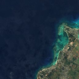
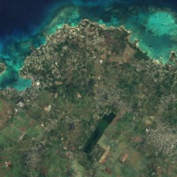
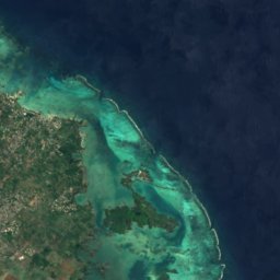


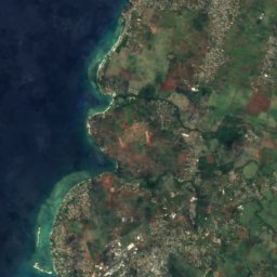
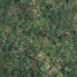
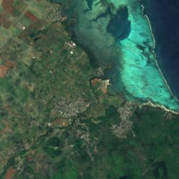
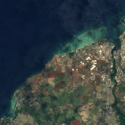
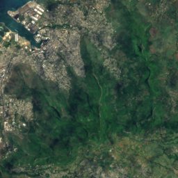
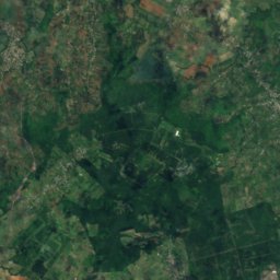
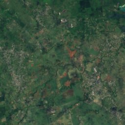
Satellit: Sentinel-2 cloudless 2016 by EOX IT Services GmbH · CC BY 4.0 · Contains modified Copernicus Sentinel data 2016
Satellit: Sentinel-2 cloudless 2016 by EOX IT Services GmbH · CC BY 4.0 · Contains modified Copernicus Sentinel data 2016
Übernachten
Orte ganz in der Nähe


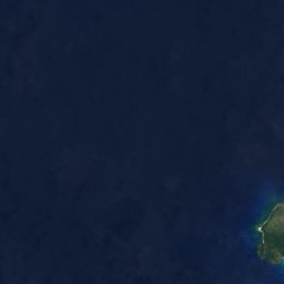
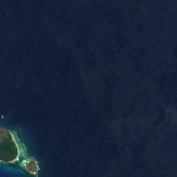
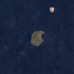


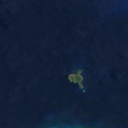



Satellit: Sentinel-2 cloudless 2016 by EOX IT Services GmbH · CC BY 4.0 · Contains modified Copernicus Sentinel data 2016
Grand Gaube
Rivière du Rempart · 2,6 km S
24°max. Okt.
3Regentage
92Score
Satellit: Sentinel-2 cloudless 2016 by EOX IT Services GmbH · CC BY 4.0 · Contains modified Copernicus Sentinel data 2016
Calodyne
Rivière du Rempart · 3,3 km SW
24°max. Okt.
3Regentage
92Score
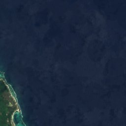
Satellit: Sentinel-2 cloudless 2016 by EOX IT Services GmbH · CC BY 4.0 · Contains modified Copernicus Sentinel data 2016
Roche Terre
Rivière du Rempart · 4,5 km SW
24°max. Okt.
3Regentage
92Score
Satellit: Sentinel-2 cloudless 2016 by EOX IT Services GmbH · CC BY 4.0 · Contains modified Copernicus Sentinel data 2016
Petit Raffray
Rivière du Rempart · 6,1 km SW
24°max. Okt.
3Regentage
92Score
In der Umgebung
Grand Gaube und Umgebung
Satellit: Sentinel-2 cloudless 2016 by EOX IT Services GmbH · CC BY 4.0 · Contains modified Copernicus Sentinel data 2016
Grand Gaube
Rivière du Rempart · Mauritius
Juli · Sep.–Okt.beste Monate
23°max. im Juli
10 mHöhe
Natur





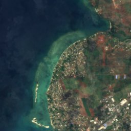
Satellit: Sentinel-2 cloudless 2016 by EOX IT Services GmbH · CC BY 4.0 · Contains modified Copernicus Sentinel data 2016
Rivière du Tombeau
Fluss
Foto: mwanasimba from La Réunion · CC BY-SA 2.0 · Wikimedia CommonsFoto melden · verlinkt, nicht gespeichert
Île D’Ambre
Insel
Berge
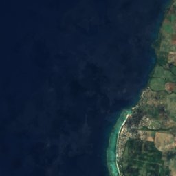
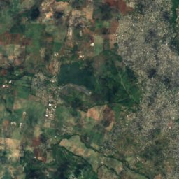
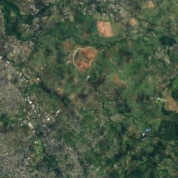
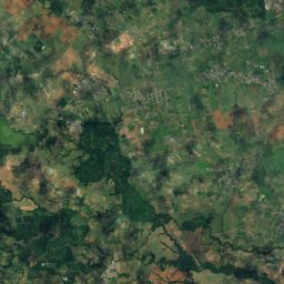
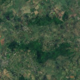
Satellit: Sentinel-2 cloudless 2016 by EOX IT Services GmbH · CC BY 4.0 · Contains modified Copernicus Sentinel data 2016
Pieter Both
820 m
Satellit: Sentinel-2 cloudless 2016 by EOX IT Services GmbH · CC BY 4.0 · Contains modified Copernicus Sentinel data 2016
Le Pouce
812 m



Satellit: Sentinel-2 cloudless 2016 by EOX IT Services GmbH · CC BY 4.0 · Contains modified Copernicus Sentinel data 2016
Corps de Garde
720 m
Museen


Satellit: Sentinel-2 cloudless 2016 by EOX IT Services GmbH · CC BY 4.0 · Contains modified Copernicus Sentinel data 2016