



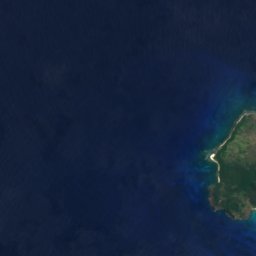
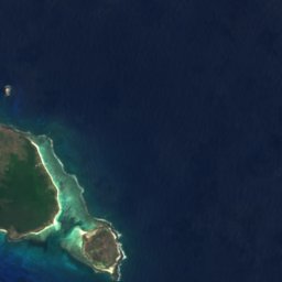
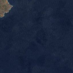









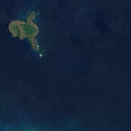






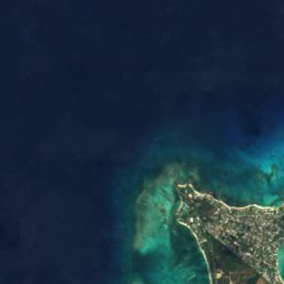
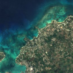
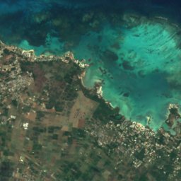
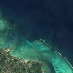


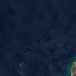
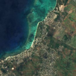
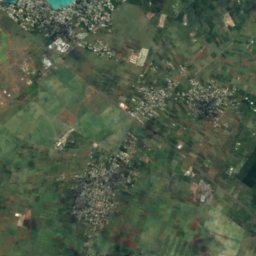
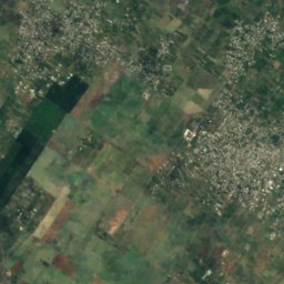
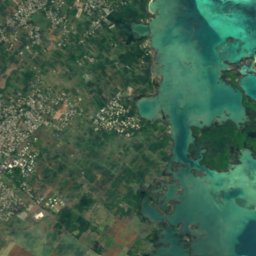
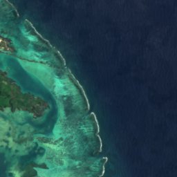



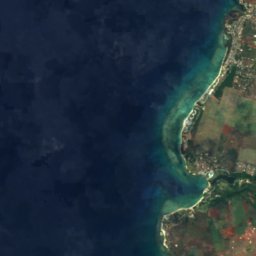
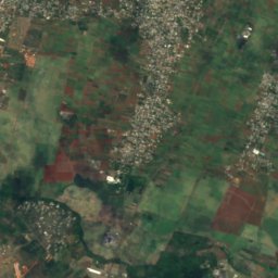
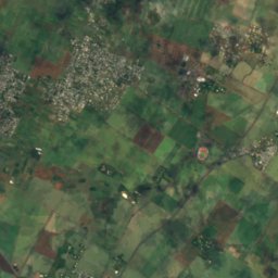
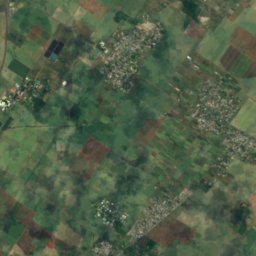
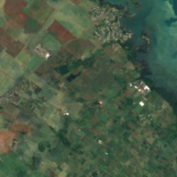
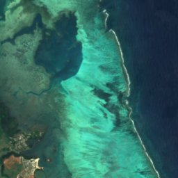


Satellite: Sentinel-2 cloudless 2016 di EOX IT Services GmbH · CC BY 4.0 · Contiene dati Copernicus Sentinel modificati (2016)

Foto: mwanasimba from La Réunion · CC BY-SA 2.0 · Wikimedia Commons
Île d'AmbreSegnala questa foto · collegata, non copiata
Île d'AmbreÎle d'AmbreSegnala questa foto · collegata, non copiata

Foto: ZoschH · CC BY-SA 4.0 · Wikimedia Commons
La Cuvette BeachSegnala questa foto · collegata, non copiata
La Cuvette BeachLa Cuvette BeachSegnala questa foto · collegata, non copiata
IsolaGrand Gaube, Rivière du Rempart
Mapu Patch
IsolaPeriodo migliore: lug · set–ott
Altitudine–sul livello del mare
Superficie–superficie totale
Località più vicinaGrand Gaube2,6 km
19,98° S, 57,67° EUTC+4 · Ora standard delle Mauritius
Quando andareGrand Gaube · punteggio meteo
Periodo migliorelug · set–ott
ottobre: max / min24° / 22°
Isola
Mapu Patch in sintesi
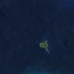
Mapu Patch è una isola situata a Mauritius (Rivière du Rempart), vicino a Grand Gaube.
La località più vicina è Grand Gaube, a 2,6 km a sud; lì il tempo è più piacevole nei mesi di luglio, settembre e ottobre.
Il meteo nei dintorni
Previsioni per Grand Gaube24°
Ora: parzialmente nuvoloso
Oggi
24 ott
25°
24°
dom
25 ott
25°
23°
1 mm
lun
26 ott
24°
24°
3 mm
mar
27 ott
24°
24°
2 mm
mer
28 ott
25°
23°
1 mm
Corsa del modello 00:00 UTCAggiornate più volte al giorno
Quando andare
Clima di Grand GaubeMapu Patch: i mesi migliori
Punteggio mensile a Grand Gaube
Comfort, giorni asciutti e sole · su 10056
gen
58
feb
56
mar
60
apr
75
mag
80
giu
88
lug
88
ago
90
set
92
ott
82
nov
67
dic
Mappa
Mapu Patch dall'alto
Natura nei dintorniTutto il paese
Satellite: Sentinel-2 cloudless 2016 di EOX IT Services GmbH · CC BY 4.0 · Contiene dati Copernicus Sentinel modificati (2016)
Satellite: Sentinel-2 cloudless 2016 di EOX IT Services GmbH · CC BY 4.0 · Contiene dati Copernicus Sentinel modificati (2016)
Satellite: Sentinel-2 cloudless 2016 di EOX IT Services GmbH · CC BY 4.0 · Contiene dati Copernicus Sentinel modificati (2016)

Foto: mwanasimba from La Réunion · CC BY-SA 2.0 · Wikimedia CommonsSegnala questa foto · collegata, non copiata


Satellite: Sentinel-2 cloudless 2016 di EOX IT Services GmbH · CC BY 4.0 · Contiene dati Copernicus Sentinel modificati (2016)
Vette nei dintorniMontagne di Mauritius


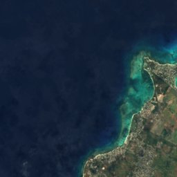
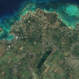
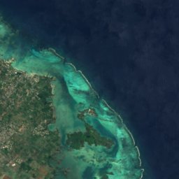


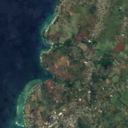
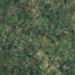
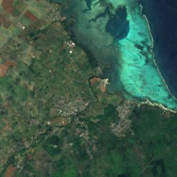
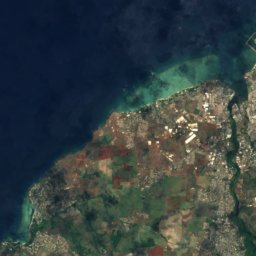
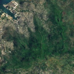
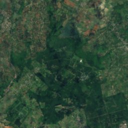
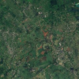
Satellite: Sentinel-2 cloudless 2016 di EOX IT Services GmbH · CC BY 4.0 · Contiene dati Copernicus Sentinel modificati (2016)
Satellite: Sentinel-2 cloudless 2016 di EOX IT Services GmbH · CC BY 4.0 · Contiene dati Copernicus Sentinel modificati (2016)
Dove dormire
Località a due passi


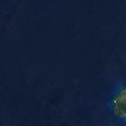



Satellite: Sentinel-2 cloudless 2016 di EOX IT Services GmbH · CC BY 4.0 · Contiene dati Copernicus Sentinel modificati (2016)
Grand Gaube
Rivière du Rempart · 2,6 km S
24°max. ott
3giorni di pioggia
92punteggio
Satellite: Sentinel-2 cloudless 2016 di EOX IT Services GmbH · CC BY 4.0 · Contiene dati Copernicus Sentinel modificati (2016)
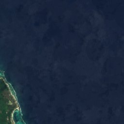
Calodyne
Rivière du Rempart · 3,3 km SO
24°max. ott
3giorni di pioggia
92punteggio
Satellite: Sentinel-2 cloudless 2016 di EOX IT Services GmbH · CC BY 4.0 · Contiene dati Copernicus Sentinel modificati (2016)
Roche Terre
Rivière du Rempart · 4,5 km SO
24°max. ott
3giorni di pioggia
92punteggio
Satellite: Sentinel-2 cloudless 2016 di EOX IT Services GmbH · CC BY 4.0 · Contiene dati Copernicus Sentinel modificati (2016)
Petit Raffray
Rivière du Rempart · 6,1 km SO
24°max. ott
3giorni di pioggia
92punteggio
Nei dintorni
Grand Gaube e dintorni
Satellite: Sentinel-2 cloudless 2016 di EOX IT Services GmbH · CC BY 4.0 · Contiene dati Copernicus Sentinel modificati (2016)
Grand Gaube
Rivière du Rempart · Mauritius
lug · set–ottmesi migliori
23°max. a luglio
10 mquota
Natura





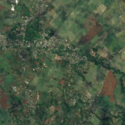
Satellite: Sentinel-2 cloudless 2016 di EOX IT Services GmbH · CC BY 4.0 · Contiene dati Copernicus Sentinel modificati (2016)
Rivière du Tombeau
Fiume
Foto: mwanasimba from La Réunion · CC BY-SA 2.0 · Wikimedia CommonsSegnala questa foto · collegata, non copiata
Île d'Ambre
Isola
Montagne
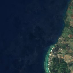
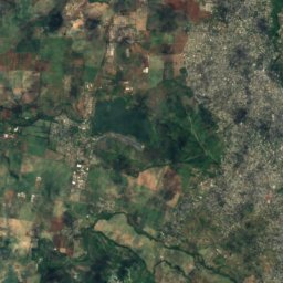
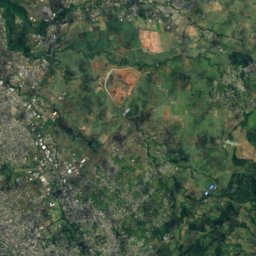
Satellite: Sentinel-2 cloudless 2016 di EOX IT Services GmbH · CC BY 4.0 · Contiene dati Copernicus Sentinel modificati (2016)
Pieter Both
820 m
Satellite: Sentinel-2 cloudless 2016 di EOX IT Services GmbH · CC BY 4.0 · Contiene dati Copernicus Sentinel modificati (2016)
Le Pouce
812 m



Satellite: Sentinel-2 cloudless 2016 di EOX IT Services GmbH · CC BY 4.0 · Contiene dati Copernicus Sentinel modificati (2016)
Corps de Garde
720 m
Musei


Satellite: Sentinel-2 cloudless 2016 di EOX IT Services GmbH · CC BY 4.0 · Contiene dati Copernicus Sentinel modificati (2016)