Nature
Waters, ice and wild places of Malawi
Lakes, waterfalls, glaciers, national parks and mountain huts, each with its location, its size and the weather of the towns around it.
Waterfalls3with a page
National parks3with a page
Islands17with a page
Rivers3with a page

Waterfalls
Waterfalls of Malawi

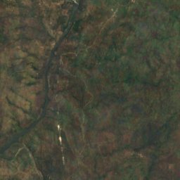
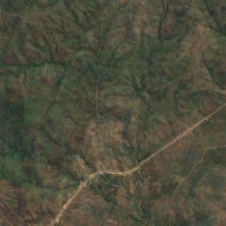
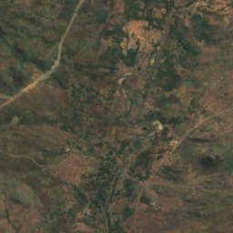
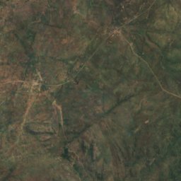
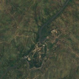
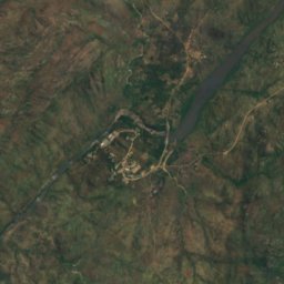
Satellite: Sentinel-2 cloudless 2016 by EOX IT Services GmbH · CC BY 4.0 · Contains modified Copernicus Sentinel data 2016
Nkula Falls
Neno, Southern Region
323 m
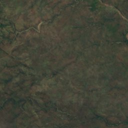
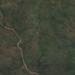
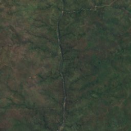
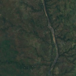
Satellite: Sentinel-2 cloudless 2016 by EOX IT Services GmbH · CC BY 4.0 · Contains modified Copernicus Sentinel data 2016
Hamilton Falls
Chikwawa, Southern Region
205 m
National parks
National parks of Malawi

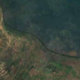
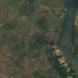
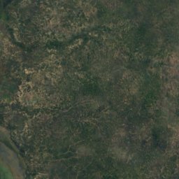
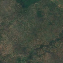
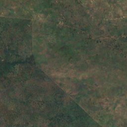
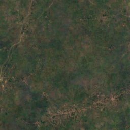
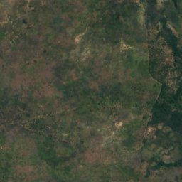
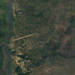
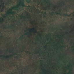
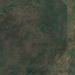
Satellite: Sentinel-2 cloudless 2016 by EOX IT Services GmbH · CC BY 4.0 · Contains modified Copernicus Sentinel data 2016
Liwonde National Park
Liwonde, Southern Region
548 km²
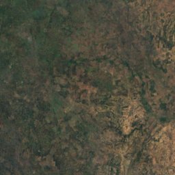
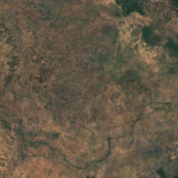
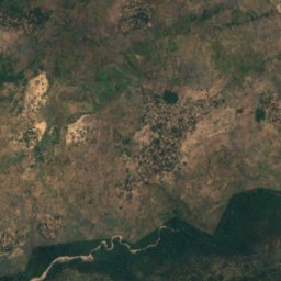
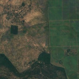
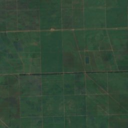
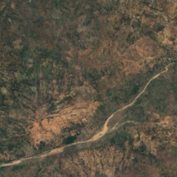
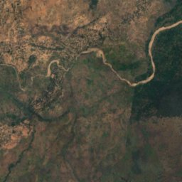
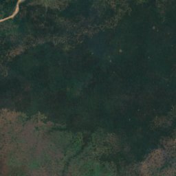
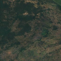
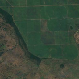
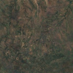
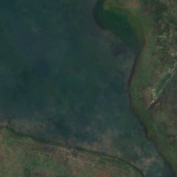
Satellite: Sentinel-2 cloudless 2016 by EOX IT Services GmbH · CC BY 4.0 · Contains modified Copernicus Sentinel data 2016
Lengwe National Park
Chikwawa, Southern Region
Islands
Islands of Malawi

Photo: Contains modified Copernicus Sentinel data 2023 · Attribution · Wikimedia CommonsReport this photo · linked, not stored
Likoma Island
Likoma, Northern Region
538 m








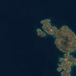




Satellite: Sentinel-2 cloudless 2016 by EOX IT Services GmbH · CC BY 4.0 · Contains modified Copernicus Sentinel data 2016
Chizumulu Island
Likoma, Northern Region
476 m
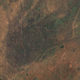
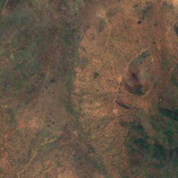
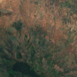
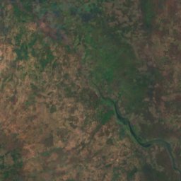
Satellite: Sentinel-2 cloudless 2016 by EOX IT Services GmbH · CC BY 4.0 · Contains modified Copernicus Sentinel data 2016
Baixa Golose
Phalombe, Southern Region














Satellite: Sentinel-2 cloudless 2016 by EOX IT Services GmbH · CC BY 4.0 · Contains modified Copernicus Sentinel data 2016
Chinyankwazi Island
Cape Maclear, Southern Region
476 m










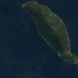

Satellite: Sentinel-2 cloudless 2016 by EOX IT Services GmbH · CC BY 4.0 · Contains modified Copernicus Sentinel data 2016
Domwe Island
Cape Maclear, Southern Region
843 m
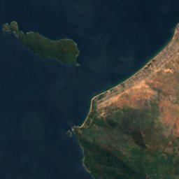
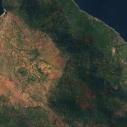
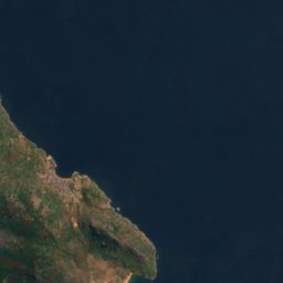


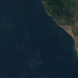
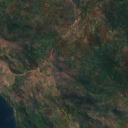
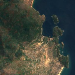


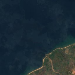
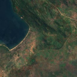
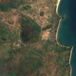


Satellite: Sentinel-2 cloudless 2016 by EOX IT Services GmbH · CC BY 4.0 · Contains modified Copernicus Sentinel data 2016
Kanchedza Island
Monkey Bay, Southern Region
476 m





Satellite: Sentinel-2 cloudless 2016 by EOX IT Services GmbH · CC BY 4.0 · Contains modified Copernicus Sentinel data 2016
Machili Island
Likoma, Northern Region



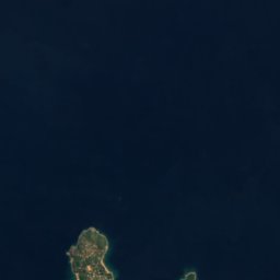


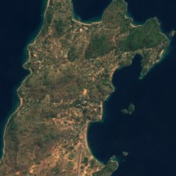

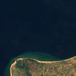
Satellite: Sentinel-2 cloudless 2016 by EOX IT Services GmbH · CC BY 4.0 · Contains modified Copernicus Sentinel data 2016
Maingano Island
Likoma, Northern Region
Rivers
Rivers of Malawi

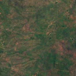
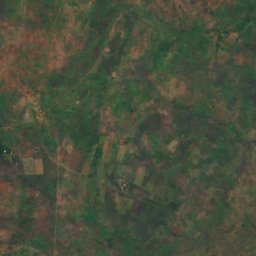
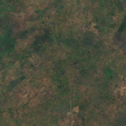
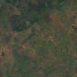
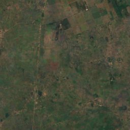
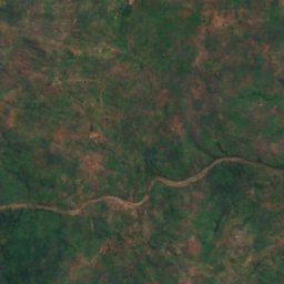
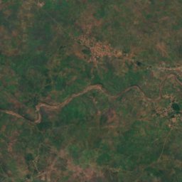
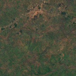
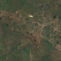
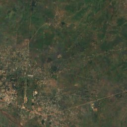
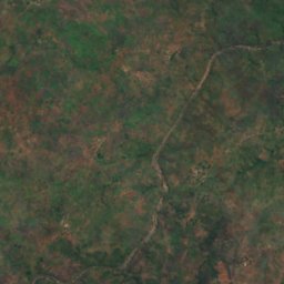
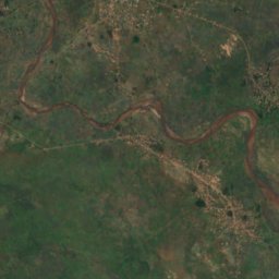
Satellite: Sentinel-2 cloudless 2016 by EOX IT Services GmbH · CC BY 4.0 · Contains modified Copernicus Sentinel data 2016
Lilongwe River
Salima, Central Region
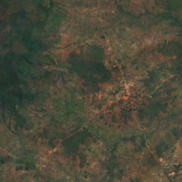
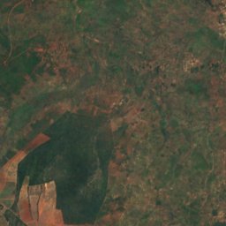
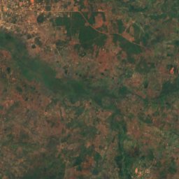
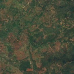
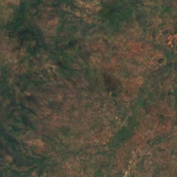
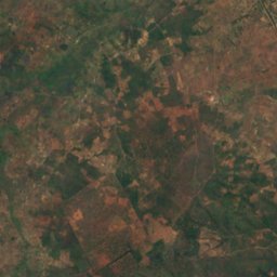
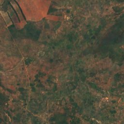
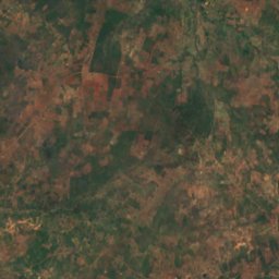
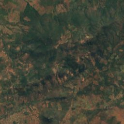
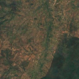
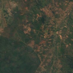
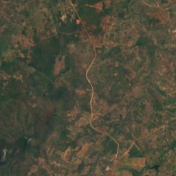
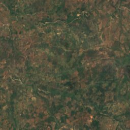
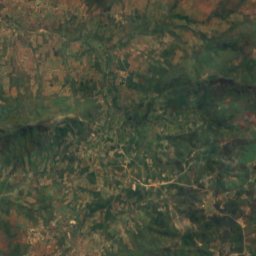


Satellite: Sentinel-2 cloudless 2016 by EOX IT Services GmbH · CC BY 4.0 · Contains modified Copernicus Sentinel data 2016
Chisangano
Mzuzu, Northern Region
1,122 m