자연
말라위의 물가, 빙하, 야생
호수, 폭포, 빙하, 국립공원, 산장. 각각의 위치, 규모, 주변 날씨를 소개합니다.
폭포3곳(개별 페이지 있음)
국립공원3곳(개별 페이지 있음)
섬17곳(개별 페이지 있음)
강3곳(개별 페이지 있음)

폭포
말라위의 폭포

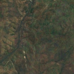
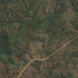
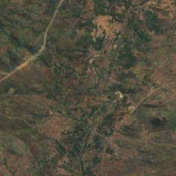
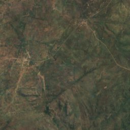
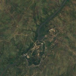
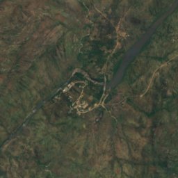
위성: Sentinel-2 cloudless 2016(EOX IT Services GmbH) · CC BY 4.0 · 수정된 Copernicus Sentinel 데이터(2016) 포함
Nkula Falls
Neno, Southern Region
323 m
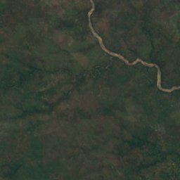
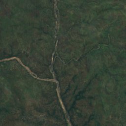
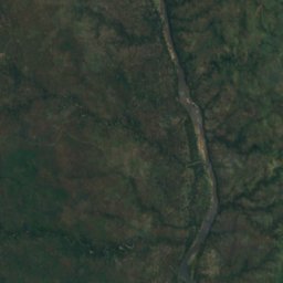
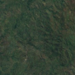
위성: Sentinel-2 cloudless 2016(EOX IT Services GmbH) · CC BY 4.0 · 수정된 Copernicus Sentinel 데이터(2016) 포함
Hamilton Falls
Chikwawa, Southern Region
205 m
국립공원
말라위의 국립공원

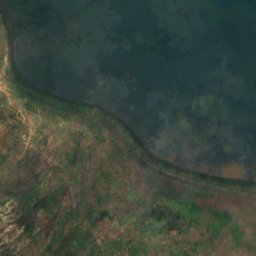
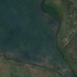
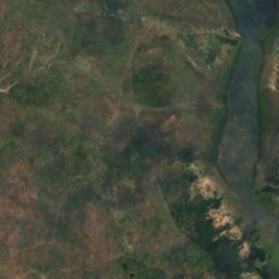
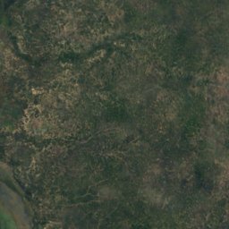
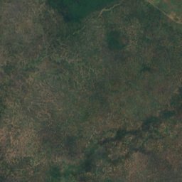
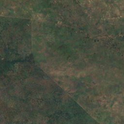
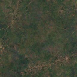
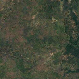
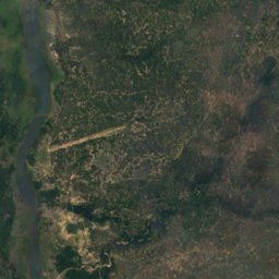
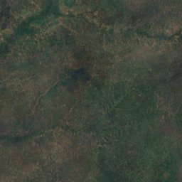
위성: Sentinel-2 cloudless 2016(EOX IT Services GmbH) · CC BY 4.0 · 수정된 Copernicus Sentinel 데이터(2016) 포함
Liwonde National Park
Liwonde, Southern Region
548 km²
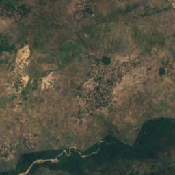
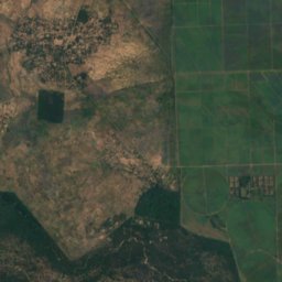
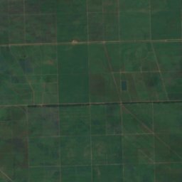
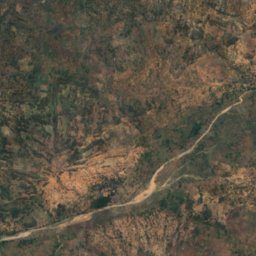
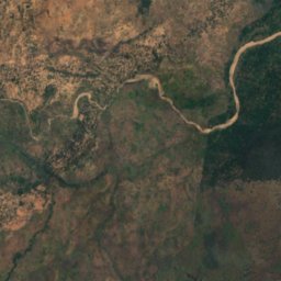
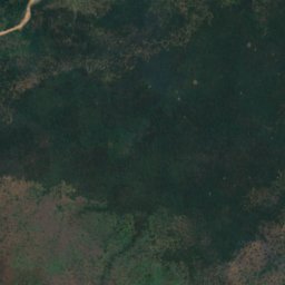
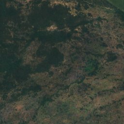
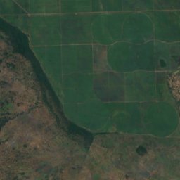
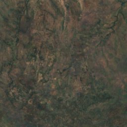
위성: Sentinel-2 cloudless 2016(EOX IT Services GmbH) · CC BY 4.0 · 수정된 Copernicus Sentinel 데이터(2016) 포함
Lengwe National Park
Chikwawa, Southern Region
섬
말라위의 섬

사진: Contains modified Copernicus Sentinel data 2023 · Attribution · Wikimedia Commons이 사진 신고 · 링크만, 저장 없음
리코마섬
Likoma, Northern Region
538 m








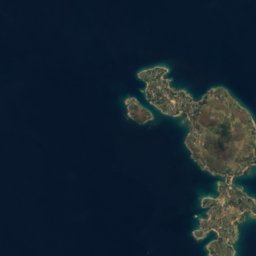




위성: Sentinel-2 cloudless 2016(EOX IT Services GmbH) · CC BY 4.0 · 수정된 Copernicus Sentinel 데이터(2016) 포함
치주물루섬
Likoma, Northern Region
476 m
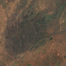
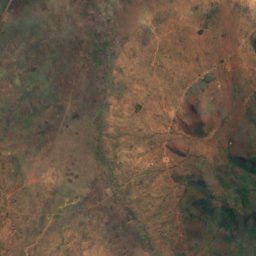
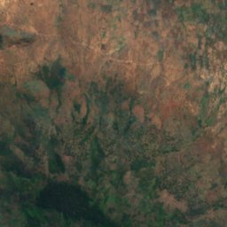
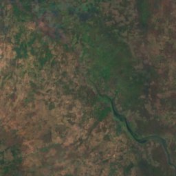
위성: Sentinel-2 cloudless 2016(EOX IT Services GmbH) · CC BY 4.0 · 수정된 Copernicus Sentinel 데이터(2016) 포함
Baixa Golose
Phalombe, Southern Region














위성: Sentinel-2 cloudless 2016(EOX IT Services GmbH) · CC BY 4.0 · 수정된 Copernicus Sentinel 데이터(2016) 포함
Chinyankwazi Island
Cape Maclear, Southern Region
476 m









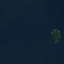

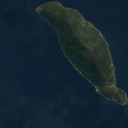
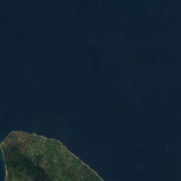

위성: Sentinel-2 cloudless 2016(EOX IT Services GmbH) · CC BY 4.0 · 수정된 Copernicus Sentinel 데이터(2016) 포함
Domwe Island
Cape Maclear, Southern Region
843 m
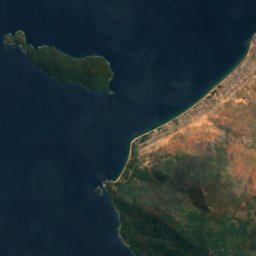
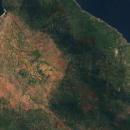
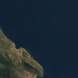


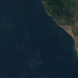
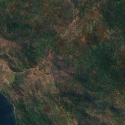
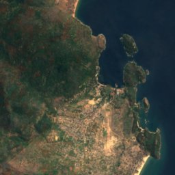


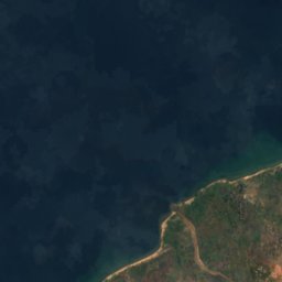
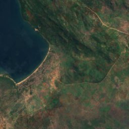
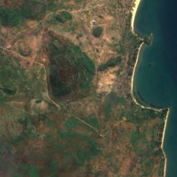


위성: Sentinel-2 cloudless 2016(EOX IT Services GmbH) · CC BY 4.0 · 수정된 Copernicus Sentinel 데이터(2016) 포함
Kanchedza Island
Monkey Bay, Southern Region
476 m





위성: Sentinel-2 cloudless 2016(EOX IT Services GmbH) · CC BY 4.0 · 수정된 Copernicus Sentinel 데이터(2016) 포함
Machili Island
Likoma, Northern Region



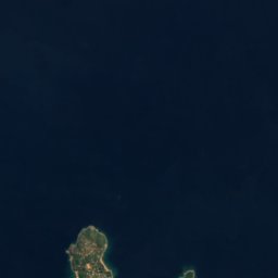


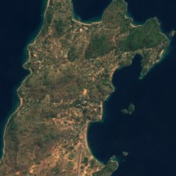

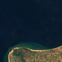
위성: Sentinel-2 cloudless 2016(EOX IT Services GmbH) · CC BY 4.0 · 수정된 Copernicus Sentinel 데이터(2016) 포함
Maingano Island
Likoma, Northern Region
강
말라위의 강

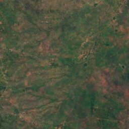
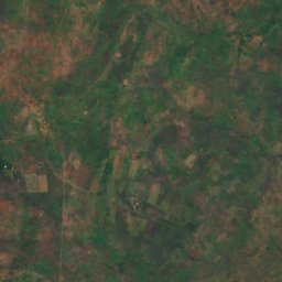
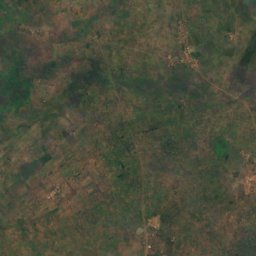
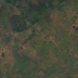
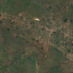
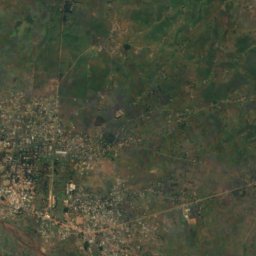
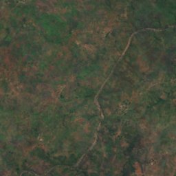
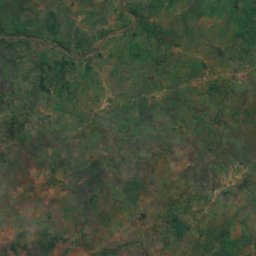
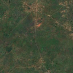
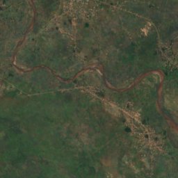
위성: Sentinel-2 cloudless 2016(EOX IT Services GmbH) · CC BY 4.0 · 수정된 Copernicus Sentinel 데이터(2016) 포함
릴롱궤강
Salima, Central Region
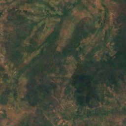
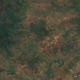
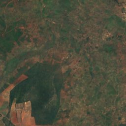
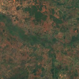
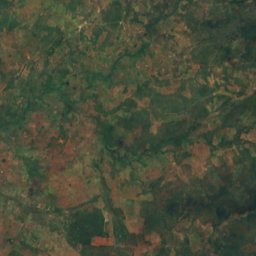
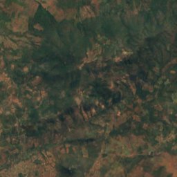
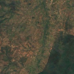
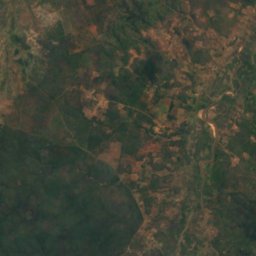
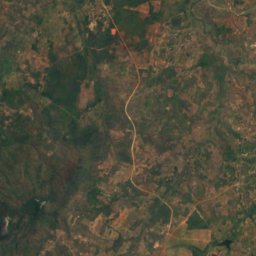


위성: Sentinel-2 cloudless 2016(EOX IT Services GmbH) · CC BY 4.0 · 수정된 Copernicus Sentinel 데이터(2016) 포함
Chisangano
Mzuzu, Northern Region
1,122 m