Przyroda
Woda, lód i dzika przyroda Malawi
Jeziora, wodospady, lodowce, parki narodowe i schroniska górskie – każde z położeniem, wielkością i pogodą w pobliskich miejscowościach.
Wodospady3z własną stroną
Parki narodowe3z własną stroną
Wyspy17z własną stroną
Rzeki3z własną stroną

Zdjęcie: Stonyyy · CC BY-SA 3.0 · Wikimedia CommonsZgłoś to zdjęcie · wyświetlane przez odnośnik, nie kopiowane
Wodospady
Wodospady Malawi

Zdjęcie: Stonyyy · CC BY-SA 3.0 · Wikimedia CommonsZgłoś to zdjęcie · wyświetlane przez odnośnik, nie kopiowane
Kapichira Falls
Chikwawa, Southern Region
100 m
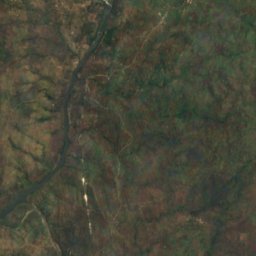
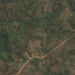
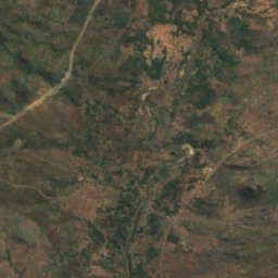
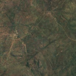
Satelita: Sentinel-2 cloudless 2016 – EOX IT Services GmbH · CC BY 4.0 · Zawiera zmodyfikowane dane Copernicus Sentinel (2016)
Nkula Falls
Neno, Southern Region
323 m
Satelita: Sentinel-2 cloudless 2016 – EOX IT Services GmbH · CC BY 4.0 · Zawiera zmodyfikowane dane Copernicus Sentinel (2016)
Hamilton Falls
Chikwawa, Southern Region
205 m
Parki narodowe
Parki narodowe Malawi

Zdjęcie: Joachim Huber · CC BY-SA 2.0 · Wikimedia CommonsZgłoś to zdjęcie · wyświetlane przez odnośnik, nie kopiowane
Lake Malawi National Park
Cape Maclear, Southern Region
94 km²
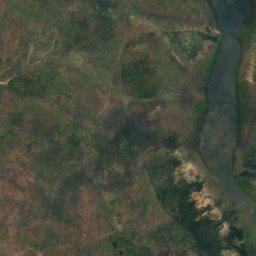
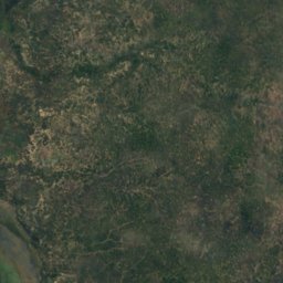
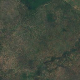
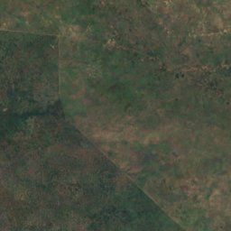
Satelita: Sentinel-2 cloudless 2016 – EOX IT Services GmbH · CC BY 4.0 · Zawiera zmodyfikowane dane Copernicus Sentinel (2016)
Liwonde National Park
Liwonde, Southern Region
548 km²
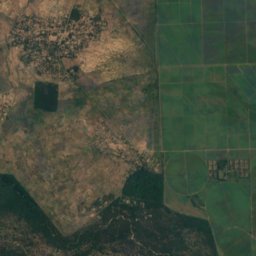
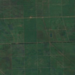
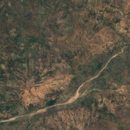
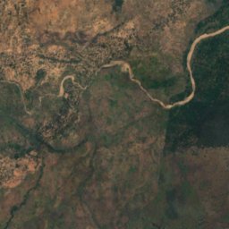
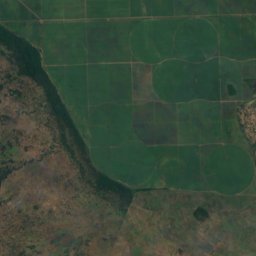
Satelita: Sentinel-2 cloudless 2016 – EOX IT Services GmbH · CC BY 4.0 · Zawiera zmodyfikowane dane Copernicus Sentinel (2016)
Park Narodowy Lengwe
Chikwawa, Southern Region
Wyspy
Wyspy Malawi

Zdjęcie: Contains modified Copernicus Sentinel data 2023 · Attribution · Wikimedia CommonsZgłoś to zdjęcie · wyświetlane przez odnośnik, nie kopiowane
Likoma Island
Likoma, Northern Region
538 m

Zdjęcie: Akerbeltz · CC BY-SA 4.0 · Wikimedia CommonsZgłoś to zdjęcie · wyświetlane przez odnośnik, nie kopiowane
Mumbo Island
Cape Maclear, Southern Region







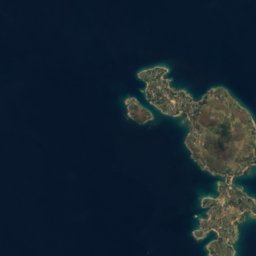




Satelita: Sentinel-2 cloudless 2016 – EOX IT Services GmbH · CC BY 4.0 · Zawiera zmodyfikowane dane Copernicus Sentinel (2016)
Chizumulu
Likoma, Northern Region
476 m
Satelita: Sentinel-2 cloudless 2016 – EOX IT Services GmbH · CC BY 4.0 · Zawiera zmodyfikowane dane Copernicus Sentinel (2016)
Baixa Golose
Phalombe, Southern Region














Satelita: Sentinel-2 cloudless 2016 – EOX IT Services GmbH · CC BY 4.0 · Zawiera zmodyfikowane dane Copernicus Sentinel (2016)
Chinyankwazi Island
Cape Maclear, Southern Region
476 m











Satelita: Sentinel-2 cloudless 2016 – EOX IT Services GmbH · CC BY 4.0 · Zawiera zmodyfikowane dane Copernicus Sentinel (2016)
Domwe Island
Cape Maclear, Southern Region
843 m
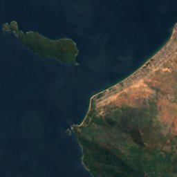
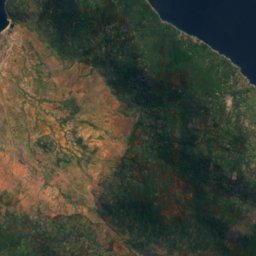
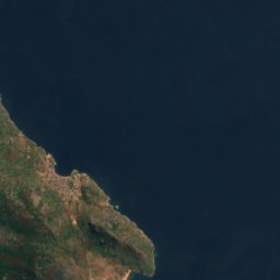


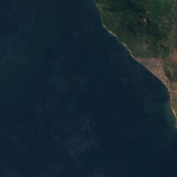
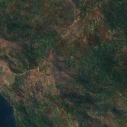
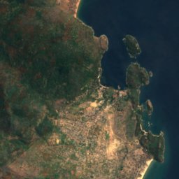


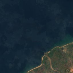
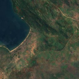
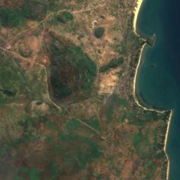


Satelita: Sentinel-2 cloudless 2016 – EOX IT Services GmbH · CC BY 4.0 · Zawiera zmodyfikowane dane Copernicus Sentinel (2016)
Kanchedza Island
Monkey Bay, Southern Region
476 m





Satelita: Sentinel-2 cloudless 2016 – EOX IT Services GmbH · CC BY 4.0 · Zawiera zmodyfikowane dane Copernicus Sentinel (2016)
Machili Island
Likoma, Northern Region



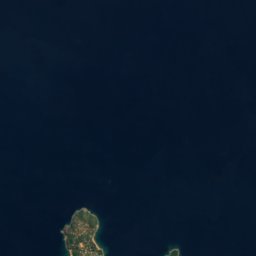


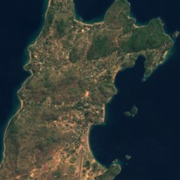

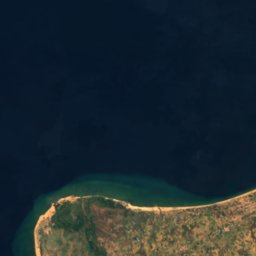
Satelita: Sentinel-2 cloudless 2016 – EOX IT Services GmbH · CC BY 4.0 · Zawiera zmodyfikowane dane Copernicus Sentinel (2016)
Maingano Island
Likoma, Northern Region
Rzeki
Rzeki Malawi

Zdjęcie: Malin Ullberg (SLU) · CC BY-SA 4.0 · Wikimedia CommonsZgłoś to zdjęcie · wyświetlane przez odnośnik, nie kopiowane
Likangala
Zomba, Southern Region
625 m
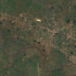
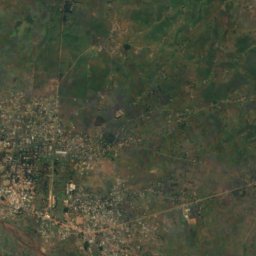
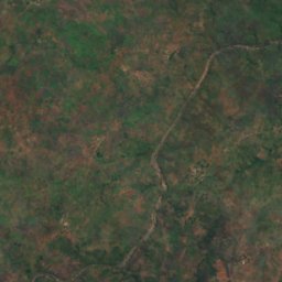
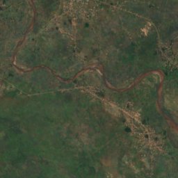
Satelita: Sentinel-2 cloudless 2016 – EOX IT Services GmbH · CC BY 4.0 · Zawiera zmodyfikowane dane Copernicus Sentinel (2016)
Lilongwe
Salima, Central Region
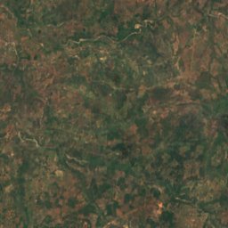
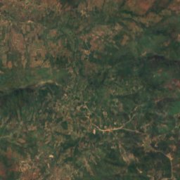


Satelita: Sentinel-2 cloudless 2016 – EOX IT Services GmbH · CC BY 4.0 · Zawiera zmodyfikowane dane Copernicus Sentinel (2016)
Chisangano
Mzuzu, Northern Region
1122 m