الطبيعة
المياه والأنهار الجليدية والبرية في ملاوي
البحيرات والشلالات والأنهار الجليدية والحدائق الوطنية والمآوي الجبلية، لكل منها موقعه وحجمه والطقس في جواره.
الشلالات3لكل منها صفحتها
الحدائق الوطنية3لكل منها صفحتها
الجزر17لكل منها صفحتها
الأنهار3لكل منها صفحتها

الشلالات
الشلالات في ملاوي

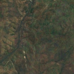
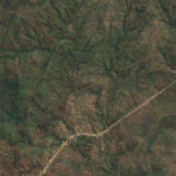
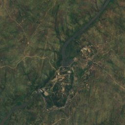
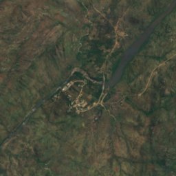
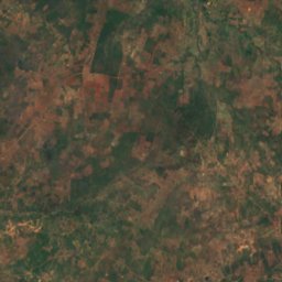
القمر الصناعي: Sentinel-2 cloudless 2016 من EOX IT Services GmbH · CC BY 4.0 · يتضمن بيانات Copernicus Sentinel (2016) معدّلة
Nkula Falls
Neno, Southern Region
323 م
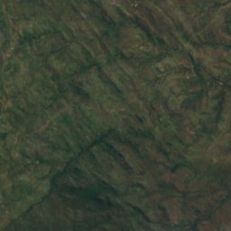
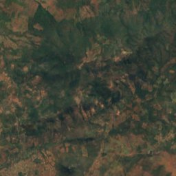
القمر الصناعي: Sentinel-2 cloudless 2016 من EOX IT Services GmbH · CC BY 4.0 · يتضمن بيانات Copernicus Sentinel (2016) معدّلة
Hamilton Falls
Chikwawa, Southern Region
205 م
الحدائق الوطنية
الحدائق الوطنية في ملاوي

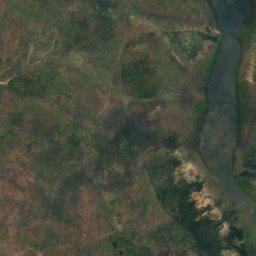
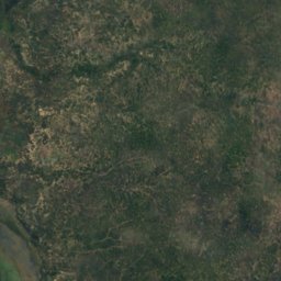
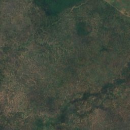
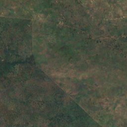
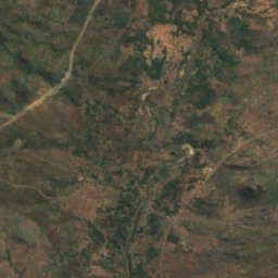
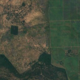
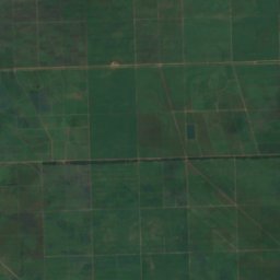
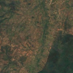
القمر الصناعي: Sentinel-2 cloudless 2016 من EOX IT Services GmbH · CC BY 4.0 · يتضمن بيانات Copernicus Sentinel (2016) معدّلة
Liwonde National Park
Liwonde, Southern Region
548 km²
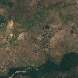
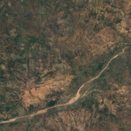
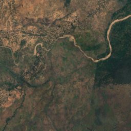
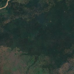
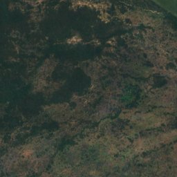
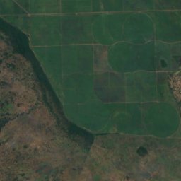
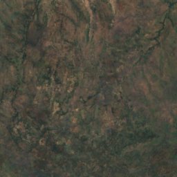
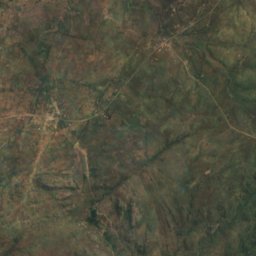
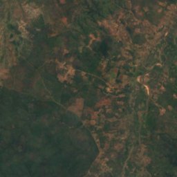
القمر الصناعي: Sentinel-2 cloudless 2016 من EOX IT Services GmbH · CC BY 4.0 · يتضمن بيانات Copernicus Sentinel (2016) معدّلة
Lengwe National Park
Chikwawa, Southern Region
الجزر
الجزر في ملاوي

الصورة: Contains modified Copernicus Sentinel data 2023 · Attribution · Wikimedia Commonsأبلغ عن هذه الصورة · بالرابط، دون تخزين
Likoma Island
Likoma, Northern Region
538 م








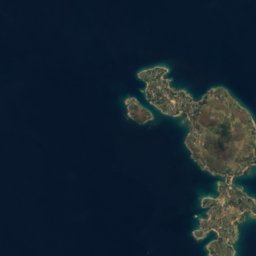



القمر الصناعي: Sentinel-2 cloudless 2016 من EOX IT Services GmbH · CC BY 4.0 · يتضمن بيانات Copernicus Sentinel (2016) معدّلة
Chizumulu Island
Likoma, Northern Region
476 م
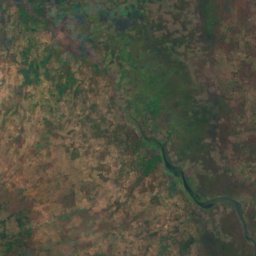
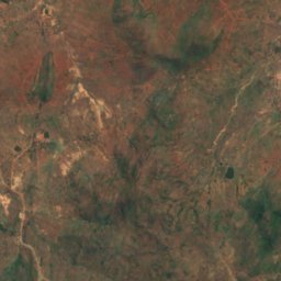
القمر الصناعي: Sentinel-2 cloudless 2016 من EOX IT Services GmbH · CC BY 4.0 · يتضمن بيانات Copernicus Sentinel (2016) معدّلة
Baixa Golose
Phalombe, Southern Region














القمر الصناعي: Sentinel-2 cloudless 2016 من EOX IT Services GmbH · CC BY 4.0 · يتضمن بيانات Copernicus Sentinel (2016) معدّلة
Chinyankwazi Island
Cape Maclear, Southern Region
476 م









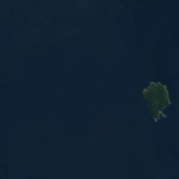

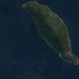
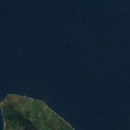

القمر الصناعي: Sentinel-2 cloudless 2016 من EOX IT Services GmbH · CC BY 4.0 · يتضمن بيانات Copernicus Sentinel (2016) معدّلة
Domwe Island
Cape Maclear, Southern Region
843 م
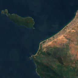
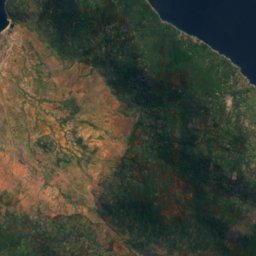
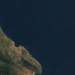


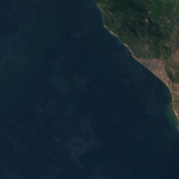
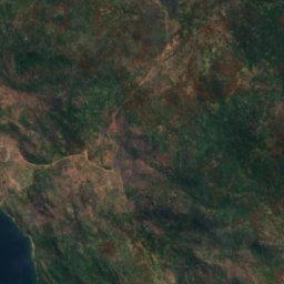
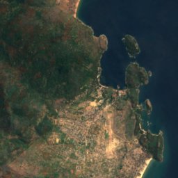


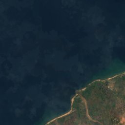
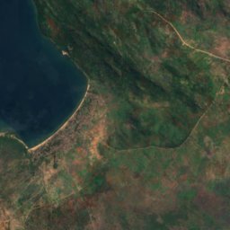
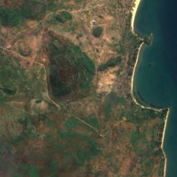


القمر الصناعي: Sentinel-2 cloudless 2016 من EOX IT Services GmbH · CC BY 4.0 · يتضمن بيانات Copernicus Sentinel (2016) معدّلة
Kanchedza Island
Monkey Bay, Southern Region
476 م





القمر الصناعي: Sentinel-2 cloudless 2016 من EOX IT Services GmbH · CC BY 4.0 · يتضمن بيانات Copernicus Sentinel (2016) معدّلة
Machili Island
Likoma, Northern Region



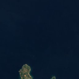


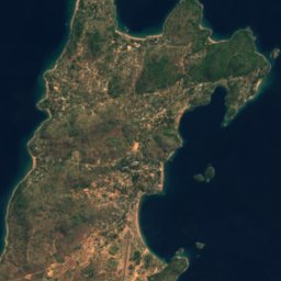

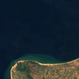
القمر الصناعي: Sentinel-2 cloudless 2016 من EOX IT Services GmbH · CC BY 4.0 · يتضمن بيانات Copernicus Sentinel (2016) معدّلة
Maingano Island
Likoma, Northern Region
الأنهار
الأنهار في ملاوي

الصورة: Malin Ullberg (SLU) · CC BY-SA 4.0 · Wikimedia Commonsأبلغ عن هذه الصورة · بالرابط، دون تخزين
Likangala River
Zomba, Southern Region
625 م
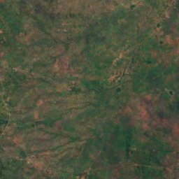
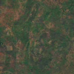
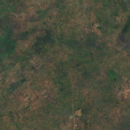
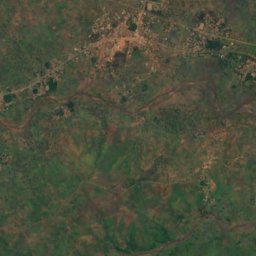
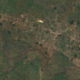
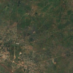
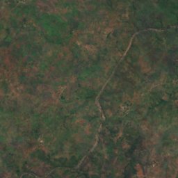
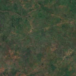
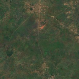
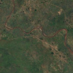
القمر الصناعي: Sentinel-2 cloudless 2016 من EOX IT Services GmbH · CC BY 4.0 · يتضمن بيانات Copernicus Sentinel (2016) معدّلة
Lilongwe River
Salima, Central Region
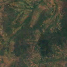
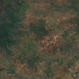
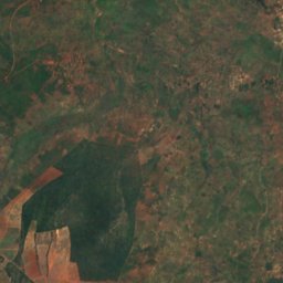
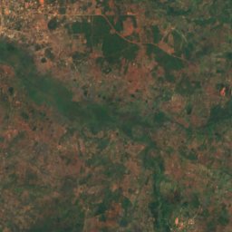
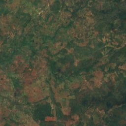
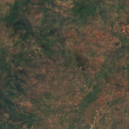
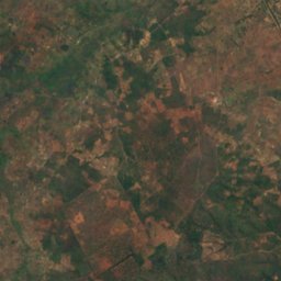
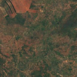
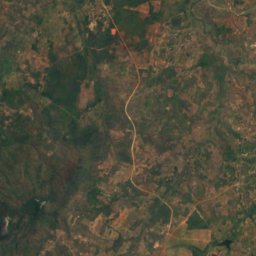
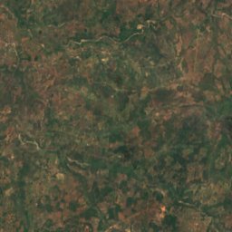
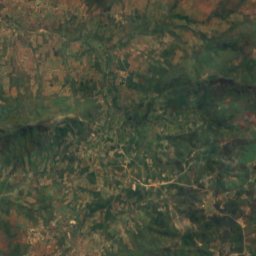


القمر الصناعي: Sentinel-2 cloudless 2016 من EOX IT Services GmbH · CC BY 4.0 · يتضمن بيانات Copernicus Sentinel (2016) معدّلة
Chisangano
Mzuzu, Northern Region
1,122 م