Nature
Waters, ice and wild places of Barbados
Lakes, waterfalls, glaciers, national parks and mountain huts, each with its location, its size and the weather of the towns around it.
Beaches7with a page
Islands5with a page
Caves1with a page
Rivers5with a page

Photo: The original uploader was ROxBo at English Wikipedia. · Public domain · Wikimedia CommonsReport this photo · linked, not stored
Beaches
Beaches of Barbados

Photo: The original uploader was ROxBo at English Wikipedia. · Public domain · Wikimedia CommonsReport this photo · linked, not stored
Miami Beach, Barbados
Oistins, Christ Church

Photo: Berit from Redhill/Surrey, UK · CC BY 2.0 · Wikimedia CommonsReport this photo · linked, not stored
Worthing Beach
Hastings, Christ Church
5 m

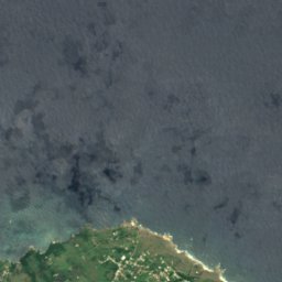
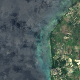
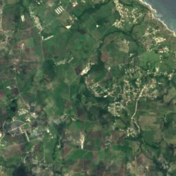
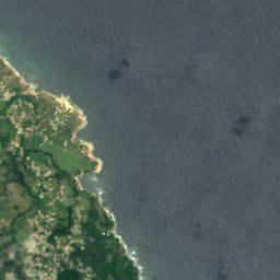
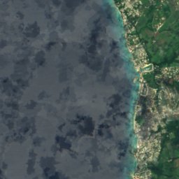
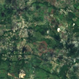
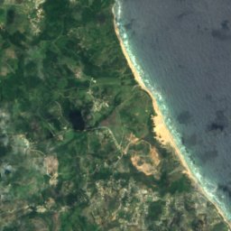
Satellite: Sentinel-2 cloudless 2016 by EOX IT Services GmbH · CC BY 4.0 · Contains modified Copernicus Sentinel data 2016
Heywoods Beach
Speightstown, Saint Peter
50 m
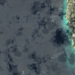
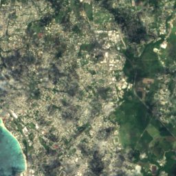
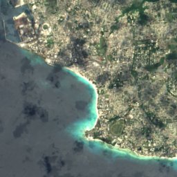
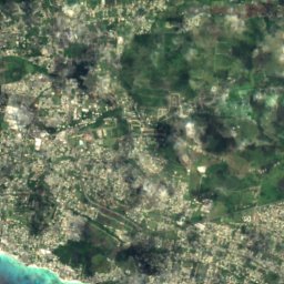
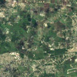
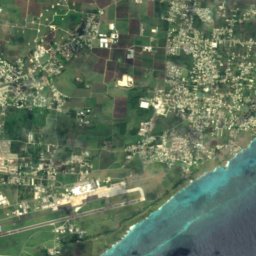
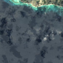
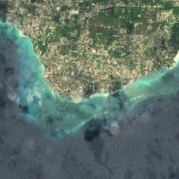
Satellite: Sentinel-2 cloudless 2016 by EOX IT Services GmbH · CC BY 4.0 · Contains modified Copernicus Sentinel data 2016
Maxwell Coast
Oistins, Christ Church
10 m
Satellite: Sentinel-2 cloudless 2016 by EOX IT Services GmbH · CC BY 4.0 · Contains modified Copernicus Sentinel data 2016
Rockley Beach
Hastings, Christ Church
5 m
Satellite: Sentinel-2 cloudless 2016 by EOX IT Services GmbH · CC BY 4.0 · Contains modified Copernicus Sentinel data 2016
Morgan Lewis Beach
Greenland, Saint Andrew
10 m
Islands
Islands of Barbados

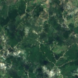
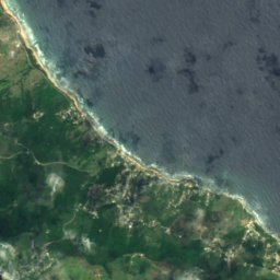
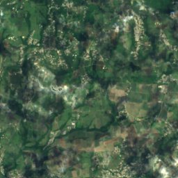
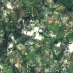
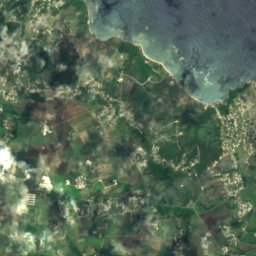
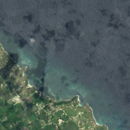
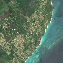
Satellite: Sentinel-2 cloudless 2016 by EOX IT Services GmbH · CC BY 4.0 · Contains modified Copernicus Sentinel data 2016
Culpepper Island
Church Village, Saint Philip
18 m
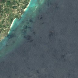
Satellite: Sentinel-2 cloudless 2016 by EOX IT Services GmbH · CC BY 4.0 · Contains modified Copernicus Sentinel data 2016
Bow Bells Reef
Oistins, Christ Church
Satellite: Sentinel-2 cloudless 2016 by EOX IT Services GmbH · CC BY 4.0 · Contains modified Copernicus Sentinel data 2016
Cobblers Reef
The Crane, Saint Philip
Satellite: Sentinel-2 cloudless 2016 by EOX IT Services GmbH · CC BY 4.0 · Contains modified Copernicus Sentinel data 2016
Harrison Reefs
Crab Hill, Saint Lucy
Caves
Caves of Barbados

Photo: Berit from Redhill/Surrey, UK · CC BY 2.0 · Wikimedia CommonsReport this photo · linked, not stored
Animal Flower Cave
Crab Hill, Saint Lucy
Rivers
Rivers of Barbados

Photo: Kaspar C from Barbados · CC BY-SA 2.0 · Wikimedia CommonsReport this photo · linked, not stored
Long Pond River
Greenland, Saint Andrew
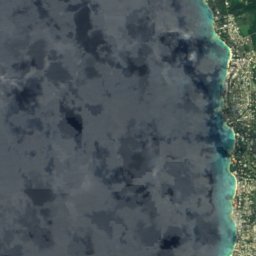
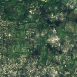
Satellite: Sentinel-2 cloudless 2016 by EOX IT Services GmbH · CC BY 4.0 · Contains modified Copernicus Sentinel data 2016
Constitution River
Bridgetown, Saint Michael
10 m
Satellite: Sentinel-2 cloudless 2016 by EOX IT Services GmbH · CC BY 4.0 · Contains modified Copernicus Sentinel data 2016
Indian River
Bridgetown, Saint Michael
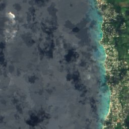
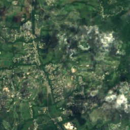


Satellite: Sentinel-2 cloudless 2016 by EOX IT Services GmbH · CC BY 4.0 · Contains modified Copernicus Sentinel data 2016
Bruce Vale River
Greenland, Saint Andrew
1 m
Satellite: Sentinel-2 cloudless 2016 by EOX IT Services GmbH · CC BY 4.0 · Contains modified Copernicus Sentinel data 2016
Joes River (Barbabos)
Bathsheba, Saint Joseph