الطبيعة
المياه والأنهار الجليدية والبرية في بربادوس
البحيرات والشلالات والأنهار الجليدية والحدائق الوطنية والمآوي الجبلية، لكل منها موقعه وحجمه والطقس في جواره.
الشواطئ7لكل منها صفحتها
الجزر5لكل منها صفحتها
الكهوف1لكل منها صفحتها
الأنهار5لكل منها صفحتها

الصورة: The original uploader was ROxBo at English Wikipedia. · Public domain · Wikimedia Commonsأبلغ عن هذه الصورة · بالرابط، دون تخزين
الشواطئ
الشواطئ في بربادوس

الصورة: The original uploader was ROxBo at English Wikipedia. · Public domain · Wikimedia Commonsأبلغ عن هذه الصورة · بالرابط، دون تخزين
Miami Beach, Barbados
Oistins, Christ Church

الصورة: Berit from Redhill/Surrey, UK · CC BY 2.0 · Wikimedia Commonsأبلغ عن هذه الصورة · بالرابط، دون تخزين
Worthing Beach
Hastings, Christ Church
5 م

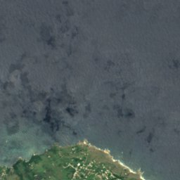
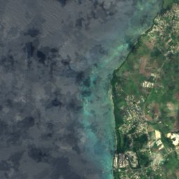
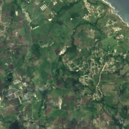
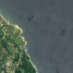
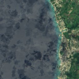
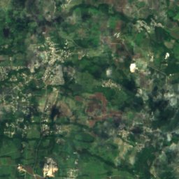
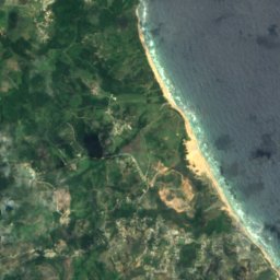
القمر الصناعي: Sentinel-2 cloudless 2016 من EOX IT Services GmbH · CC BY 4.0 · يتضمن بيانات Copernicus Sentinel (2016) معدّلة
Heywoods Beach
Speightstown, Saint Peter
50 م
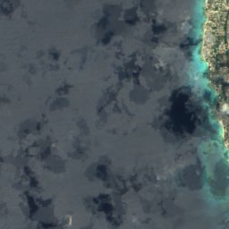
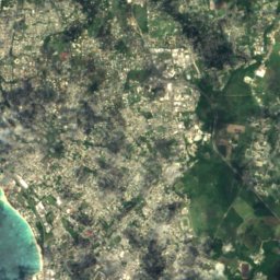
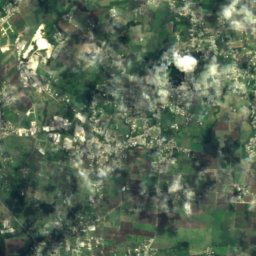
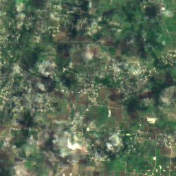
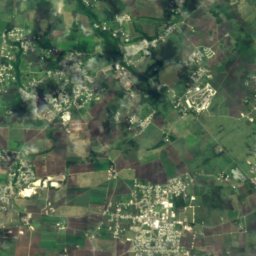
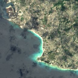
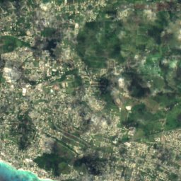
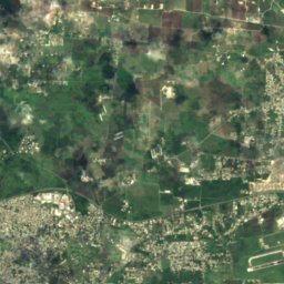
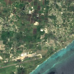
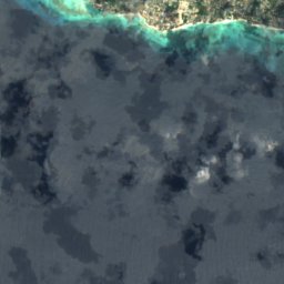
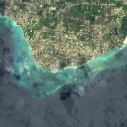
القمر الصناعي: Sentinel-2 cloudless 2016 من EOX IT Services GmbH · CC BY 4.0 · يتضمن بيانات Copernicus Sentinel (2016) معدّلة
Maxwell Coast
Oistins, Christ Church
10 م
القمر الصناعي: Sentinel-2 cloudless 2016 من EOX IT Services GmbH · CC BY 4.0 · يتضمن بيانات Copernicus Sentinel (2016) معدّلة
Rockley Beach
Hastings, Christ Church
5 م
القمر الصناعي: Sentinel-2 cloudless 2016 من EOX IT Services GmbH · CC BY 4.0 · يتضمن بيانات Copernicus Sentinel (2016) معدّلة
Morgan Lewis Beach
Greenland, Saint Andrew
10 م
الجزر
الجزر في بربادوس

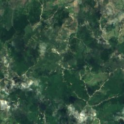
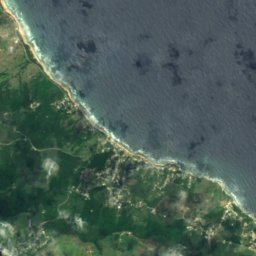
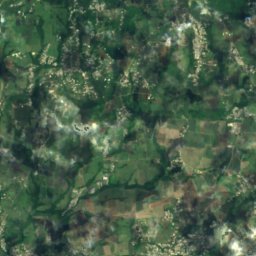
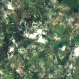
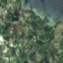
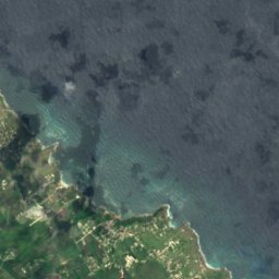
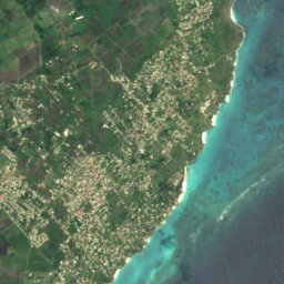
القمر الصناعي: Sentinel-2 cloudless 2016 من EOX IT Services GmbH · CC BY 4.0 · يتضمن بيانات Copernicus Sentinel (2016) معدّلة
Culpepper Island
Church Village, Saint Philip
18 م
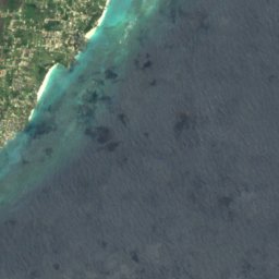
القمر الصناعي: Sentinel-2 cloudless 2016 من EOX IT Services GmbH · CC BY 4.0 · يتضمن بيانات Copernicus Sentinel (2016) معدّلة
Bow Bells Reef
Oistins, Christ Church
القمر الصناعي: Sentinel-2 cloudless 2016 من EOX IT Services GmbH · CC BY 4.0 · يتضمن بيانات Copernicus Sentinel (2016) معدّلة
Cobblers Reef
The Crane, Saint Philip
القمر الصناعي: Sentinel-2 cloudless 2016 من EOX IT Services GmbH · CC BY 4.0 · يتضمن بيانات Copernicus Sentinel (2016) معدّلة
Harrison Reefs
Crab Hill, Saint Lucy
الكهوف
الكهوف في بربادوس

الصورة: Berit from Redhill/Surrey, UK · CC BY 2.0 · Wikimedia Commonsأبلغ عن هذه الصورة · بالرابط، دون تخزين
كهف زهرة الحيوان
Crab Hill, Saint Lucy
الأنهار
الأنهار في بربادوس

الصورة: Kaspar C from Barbados · CC BY-SA 2.0 · Wikimedia Commonsأبلغ عن هذه الصورة · بالرابط، دون تخزين
Long Pond River
Greenland, Saint Andrew
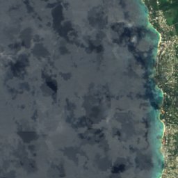
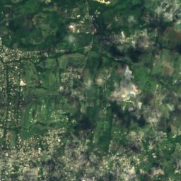
القمر الصناعي: Sentinel-2 cloudless 2016 من EOX IT Services GmbH · CC BY 4.0 · يتضمن بيانات Copernicus Sentinel (2016) معدّلة
Constitution River
Bridgetown, Saint Michael
10 م
القمر الصناعي: Sentinel-2 cloudless 2016 من EOX IT Services GmbH · CC BY 4.0 · يتضمن بيانات Copernicus Sentinel (2016) معدّلة
Indian River
Bridgetown, Saint Michael
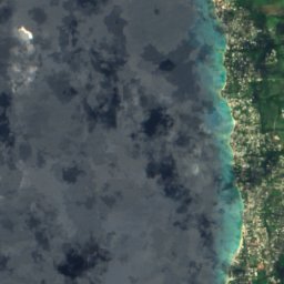
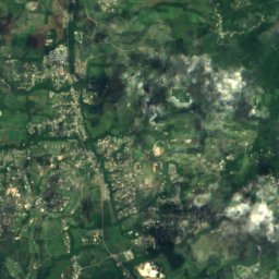


القمر الصناعي: Sentinel-2 cloudless 2016 من EOX IT Services GmbH · CC BY 4.0 · يتضمن بيانات Copernicus Sentinel (2016) معدّلة
Bruce Vale River
Greenland, Saint Andrew
1 م
القمر الصناعي: Sentinel-2 cloudless 2016 من EOX IT Services GmbH · CC BY 4.0 · يتضمن بيانات Copernicus Sentinel (2016) معدّلة
Joes River (Barbabos)
Bathsheba, Saint Joseph