Przyroda
Woda, lód i dzika przyroda Barbadosu
Jeziora, wodospady, lodowce, parki narodowe i schroniska górskie – każde z położeniem, wielkością i pogodą w pobliskich miejscowościach.
Plaże7z własną stroną
Wyspy5z własną stroną
Jaskinie1z własną stroną
Rzeki5z własną stroną

Zdjęcie: The original uploader was ROxBo at English Wikipedia. · Public domain · Wikimedia CommonsZgłoś to zdjęcie · wyświetlane przez odnośnik, nie kopiowane
Plaże
Plaże Barbadosu

Zdjęcie: The original uploader was ROxBo at English Wikipedia. · Public domain · Wikimedia CommonsZgłoś to zdjęcie · wyświetlane przez odnośnik, nie kopiowane
Miami Beach, Barbados
Oistins, Christ Church

Zdjęcie: Berit from Redhill/Surrey, UK · CC BY 2.0 · Wikimedia CommonsZgłoś to zdjęcie · wyświetlane przez odnośnik, nie kopiowane
Worthing Beach
Hastings, Christ Church
5 m

Zdjęcie: Postdlf · CC BY-SA 3.0 · Wikimedia CommonsZgłoś to zdjęcie · wyświetlane przez odnośnik, nie kopiowane
Bathsheba Beach
Bathsheba, Saint Joseph
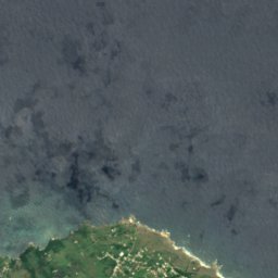
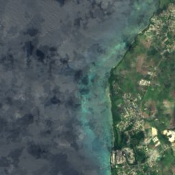
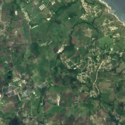
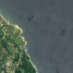
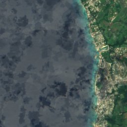
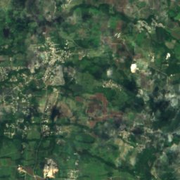
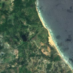
Satelita: Sentinel-2 cloudless 2016 – EOX IT Services GmbH · CC BY 4.0 · Zawiera zmodyfikowane dane Copernicus Sentinel (2016)
Heywoods Beach
Speightstown, Saint Peter
50 m
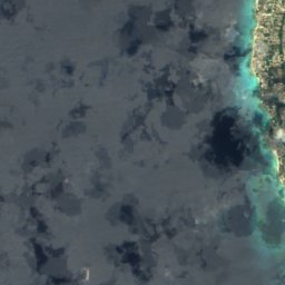
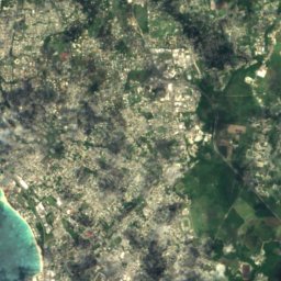
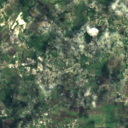
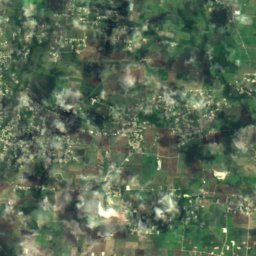
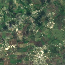
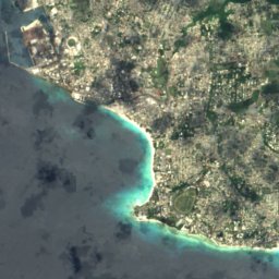
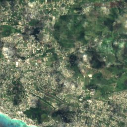
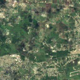
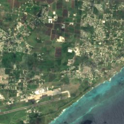
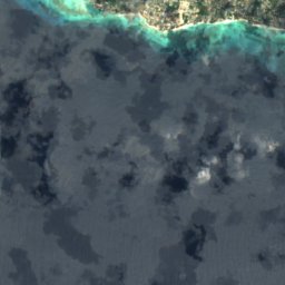
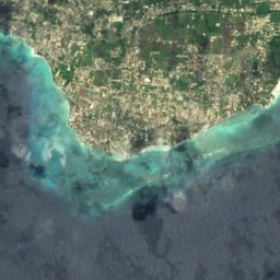
Satelita: Sentinel-2 cloudless 2016 – EOX IT Services GmbH · CC BY 4.0 · Zawiera zmodyfikowane dane Copernicus Sentinel (2016)
Maxwell Coast
Oistins, Christ Church
10 m
Satelita: Sentinel-2 cloudless 2016 – EOX IT Services GmbH · CC BY 4.0 · Zawiera zmodyfikowane dane Copernicus Sentinel (2016)
Rockley Beach
Hastings, Christ Church
5 m
Satelita: Sentinel-2 cloudless 2016 – EOX IT Services GmbH · CC BY 4.0 · Zawiera zmodyfikowane dane Copernicus Sentinel (2016)
Morgan Lewis Beach
Greenland, Saint Andrew
10 m
Wyspy
Wyspy Barbadosu

Zdjęcie: NASA · Public domain · Wikimedia CommonsZgłoś to zdjęcie · wyświetlane przez odnośnik, nie kopiowane
Barbados
Church Village, Saint Philip
222 m
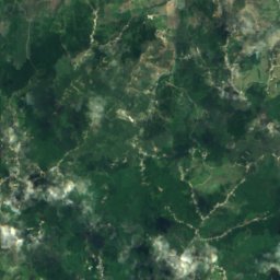
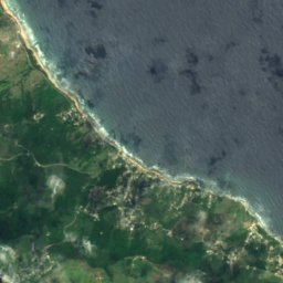
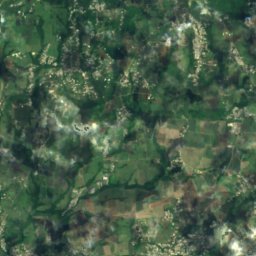
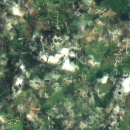
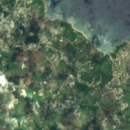
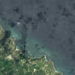
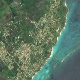
Satelita: Sentinel-2 cloudless 2016 – EOX IT Services GmbH · CC BY 4.0 · Zawiera zmodyfikowane dane Copernicus Sentinel (2016)
Culpepper Island
Church Village, Saint Philip
18 m
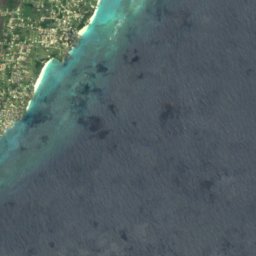
Satelita: Sentinel-2 cloudless 2016 – EOX IT Services GmbH · CC BY 4.0 · Zawiera zmodyfikowane dane Copernicus Sentinel (2016)
Bow Bells Reef
Oistins, Christ Church
Satelita: Sentinel-2 cloudless 2016 – EOX IT Services GmbH · CC BY 4.0 · Zawiera zmodyfikowane dane Copernicus Sentinel (2016)
Cobblers Reef
The Crane, Saint Philip
Satelita: Sentinel-2 cloudless 2016 – EOX IT Services GmbH · CC BY 4.0 · Zawiera zmodyfikowane dane Copernicus Sentinel (2016)
Harrison Reefs
Crab Hill, Saint Lucy
Jaskinie
Jaskinie Barbadosu

Zdjęcie: Berit from Redhill/Surrey, UK · CC BY 2.0 · Wikimedia CommonsZgłoś to zdjęcie · wyświetlane przez odnośnik, nie kopiowane
Animal Flower Cave
Crab Hill, Saint Lucy
Rzeki
Rzeki Barbadosu

Zdjęcie: Kaspar C from Barbados · CC BY-SA 2.0 · Wikimedia CommonsZgłoś to zdjęcie · wyświetlane przez odnośnik, nie kopiowane
Long Pond River
Greenland, Saint Andrew
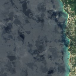
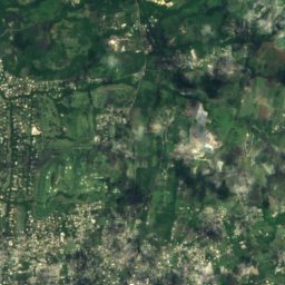
Satelita: Sentinel-2 cloudless 2016 – EOX IT Services GmbH · CC BY 4.0 · Zawiera zmodyfikowane dane Copernicus Sentinel (2016)
Constitution River
Bridgetown, Saint Michael
10 m
Satelita: Sentinel-2 cloudless 2016 – EOX IT Services GmbH · CC BY 4.0 · Zawiera zmodyfikowane dane Copernicus Sentinel (2016)
Indian River
Bridgetown, Saint Michael
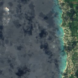
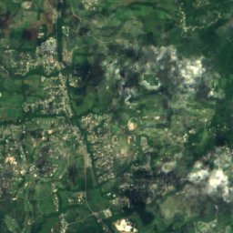


Satelita: Sentinel-2 cloudless 2016 – EOX IT Services GmbH · CC BY 4.0 · Zawiera zmodyfikowane dane Copernicus Sentinel (2016)
Bruce Vale River
Greenland, Saint Andrew
1 m
Satelita: Sentinel-2 cloudless 2016 – EOX IT Services GmbH · CC BY 4.0 · Zawiera zmodyfikowane dane Copernicus Sentinel (2016)
Joes River (Barbabos)
Bathsheba, Saint Joseph